Cruach Gharbhachaidh
Hill, Mountain in Argyllshire
Scotland
Cruach Gharbhachaidh

Cruach Gharbhachaidh is a prominent hill located in Argyllshire, Scotland. Situated in the western part of the country, it forms part of the stunning scenery that characterizes this region.
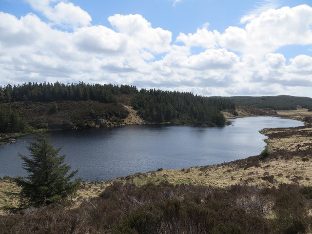
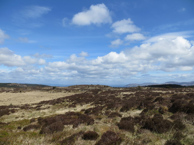
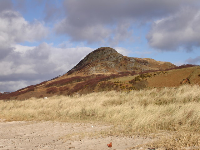
Rising to an elevation of approximately 605 meters (1,985 feet), Cruach Gharbhachaidh offers breathtaking panoramic views of the surrounding landscape. Its summit is adorned with rocky outcrops, which add to the rugged charm of the hill. The terrain is varied, encompassing heather-covered slopes, grassy patches, and occasional patches of boggy ground.
The hill is a popular destination for outdoor enthusiasts, particularly hikers and hillwalkers. A well-defined path traverses the slopes, providing a relatively straightforward ascent for those looking to reach the summit. The relatively modest elevation makes Cruach Gharbhachaidh an accessible option for hikers of varying abilities.
The hill is home to a variety of flora and fauna, contributing to its ecological significance. Heather, mosses, and grasses dominate the vegetation, while bird species such as red grouse and meadow pipits can be spotted in the area. The hill is also known for its interesting geological features, with evidence of ancient volcanic activity visible in the form of basalt columns and lava flows.
Cruach Gharbhachaidh is surrounded by a picturesque landscape, with nearby lochs and glens adding to its appeal. The surrounding area offers numerous opportunities for outdoor recreation, including fishing, birdwatching, and photography. Whether it be for the stunning views, the diverse wildlife, or the recreational activities, Cruach Gharbhachaidh is an ideal destination for nature lovers and outdoor enthusiasts alike.
If you have any feedback on the listing, please let us know in the comments section below.
Cruach Gharbhachaidh Images
Images are sourced within 2km of 55.703345/-5.4868683 or Grid Reference NR8151. Thanks to Geograph Open Source API. All images are credited.


Cruach Gharbhachaidh is located at Grid Ref: NR8151 (Lat: 55.703345, Lng: -5.4868683)
Unitary Authority: Argyll and Bute
Police Authority: Argyll and West Dunbartonshire
What 3 Words
///bats.servants.encodes. Near Lochranza, North Ayrshire
Nearby Locations
Related Wikis

Balinakill House
Balinakill House is a Victorian manor house to the east of the village of Clachan, Kintyre, Argyll and Bute, Scotland. The house was built by Sir William...
Grogport
Grogport (Scottish Gaelic: Gròb-phort) is a hamlet in Argyll and Bute, Scotland. It lies on the coast of Kintyre, on the Kilbrannan Sound, across from...

Clachan, Kintyre
Clachan is a small village in North Kintyre, Argyll & Bute, Scotland. Clachan is the site of an old church, which was the principal church for the North...
Loup House
Loup House is a manor house north of Clachan on the Kintyre peninsula of Argyll, Scotland. The estate was once home to the chiefs of Clan MacAlister, and...
Dun Skeig
Dun Skeig is an oval Iron Age dun (fort) complex which is perched atop a rocky outcropping about 40 metres (130 ft) above sea level overlooking West Loch...
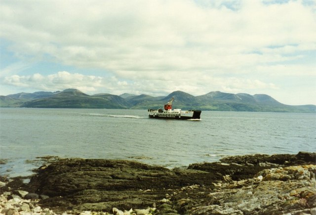
Claonaig
Claonaig (Scottish Gaelic: Claonaig, pronounced [ˈkʰl̪ˠɯːnɛkʲ]) is a hamlet on the east coast of the Kintyre peninsula in western Scotland, linked to Lochranza...
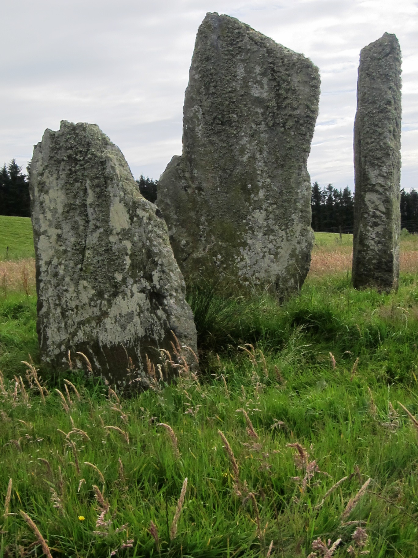
Ballochroy
Ballochroy is a megalithic site in Kintyre on the Argyll peninsula in Scotland. It consists of three vertical stones, side by side, aligned with various...

Pirnmill
Pirnmill (Scottish Gaelic: Muileann nam Piùirneachan) is a small village on the north-west coast of the Isle of Arran, Scotland. The village is situated...
Have you been to Cruach Gharbhachaidh?
Leave your review of Cruach Gharbhachaidh below (or comments, questions and feedback).