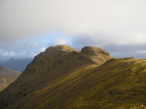
A' Chìoch

Hill, Mountain in Ross-shire

Scotland

A' Chìoch

Beinn Bhan, Applecross Taken from near the summit of Biod an Fhithich, and looking across Loch Duich.
Beinn Bhan, Applecross Credit: Michael Earnshaw

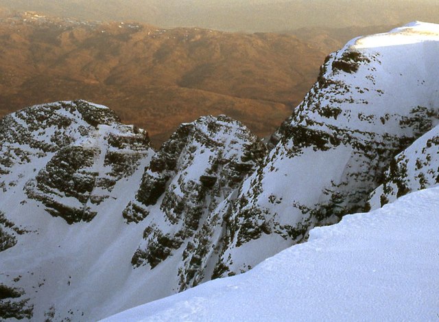
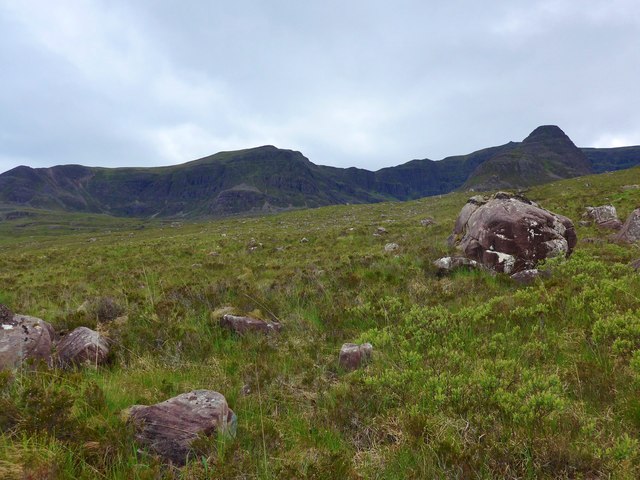
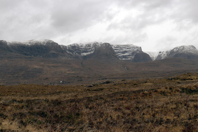
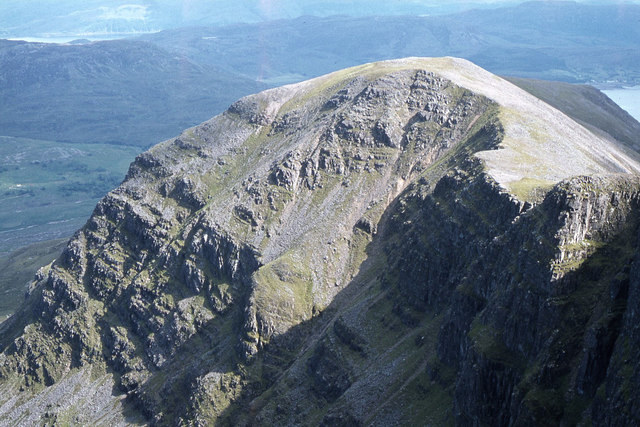
A' Chìoch is a prominent hill located in Ross-shire, Scotland. It stands at an elevation of 777 meters (2,549 feet) and is part of the Torridon Hills range. The hill is situated in a remote and rugged area, offering breathtaking views of the surrounding landscape.

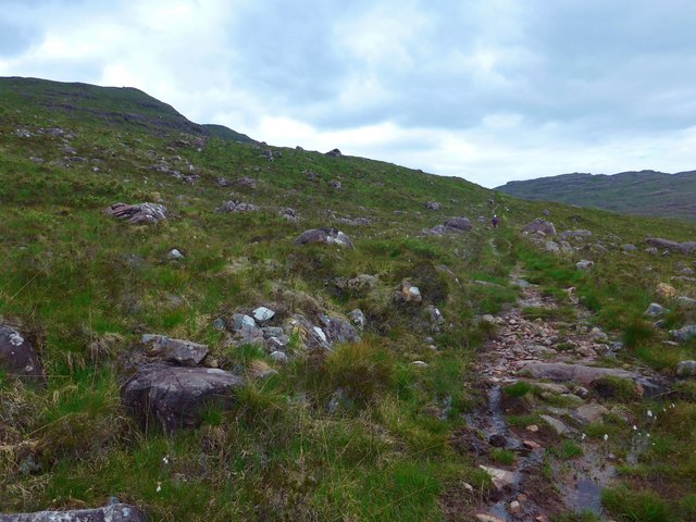
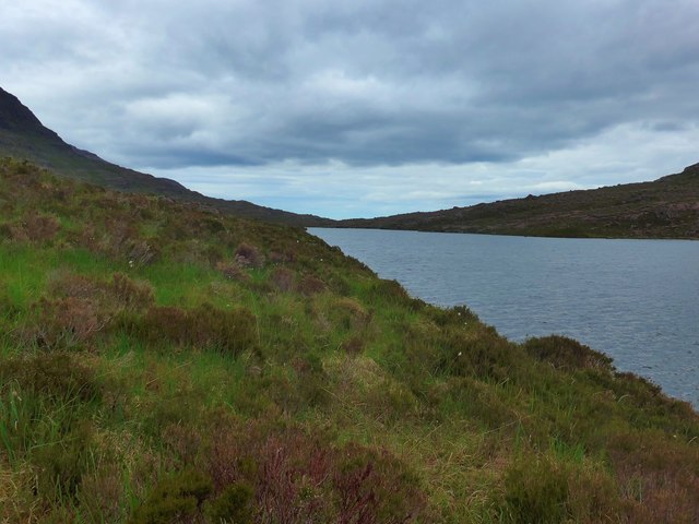
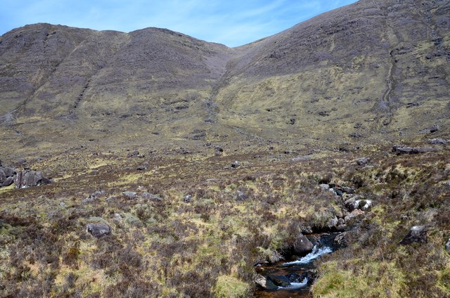
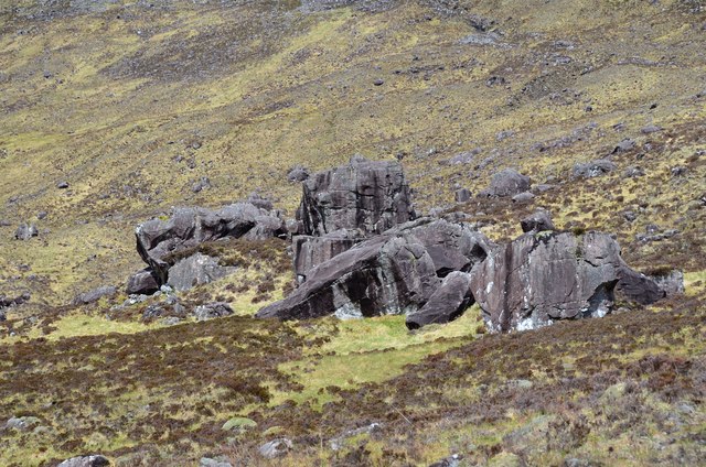
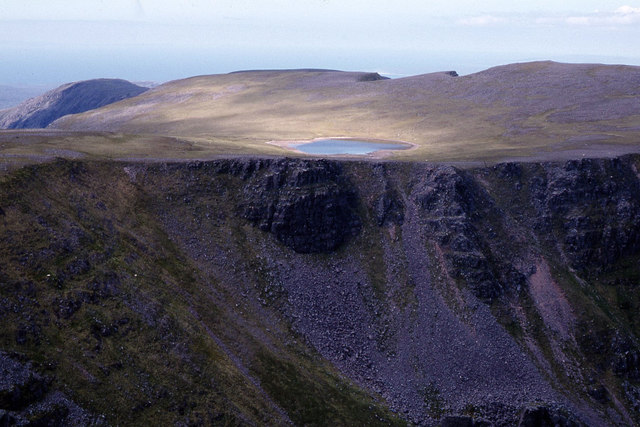
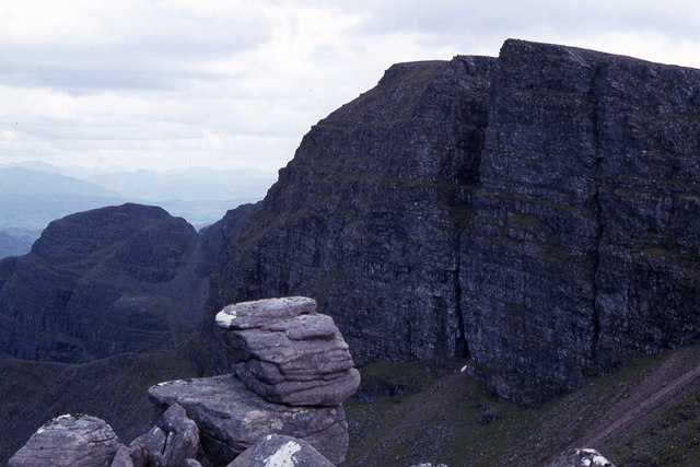
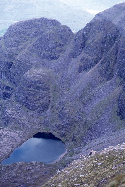
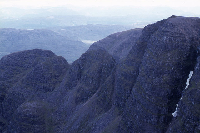
A' Chìoch is characterized by its steep slopes and craggy peaks, which make it a popular destination for hillwalkers and mountaineers. The ascent to the summit involves navigating through rocky terrain, but the rewarding panoramic views from the top make it worth the effort. On a clear day, one can see the vast expanse of Loch Torridon and the surrounding mountains, including Liathach and Beinn Eighe.

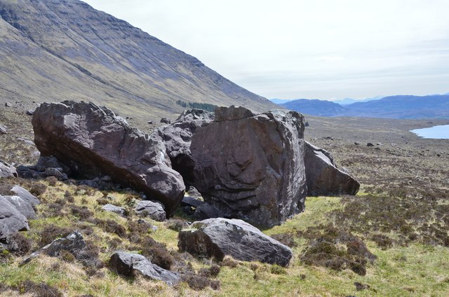
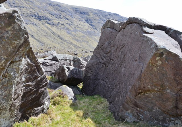
The hill is also known for its rich biodiversity. The lower slopes are covered in heather and grass, providing habitat for a variety of plant species. As one ascends higher, the vegetation transitions to hardy mountain plants, such as mosses and lichens, which are adapted to the harsh alpine conditions.

A' Chìoch is a haven for wildlife as well. Golden eagles, buzzards, and peregrine falcons can often be spotted soaring above the hill, while deer and mountain hares roam the lower slopes. The hill is also home to smaller creatures like ptarmigan and mountain voles.

Due to its remote location, A' Chìoch offers a sense of tranquility and isolation, making it a perfect destination for those seeking solitude and a challenging outdoor adventure.

If you have any feedback on the listing, please let us know in the comments section below.

A' Chìoch Images

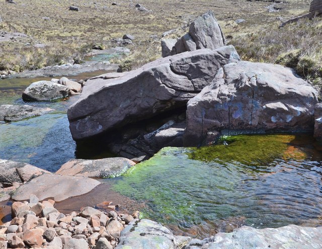
Images are sourced within 2km of 57.439243/-5.6506177 or Grid Reference NG8144. Thanks to Geograph Open Source API. All images are credited.

Beinn Bhan, Applecross Taken from near the summit of Biod an Fhithich, and looking across Loch Duich.
Beinn Bhan, Applecross
Taken from near the summit of Biod an Fhithich, and looking across Loch Duich.
An airy drop to A'Chioch
The fisherman's path to Loch Gaineamhach
Over the moorland to Coire na Feola
The dam at Loch Gaineamhach Not for hydro power, not for water supply;  just to provide a nice loch for fishermen.
The dam at Loch Gaineamhach
Not for hydro power, not for water supply; just to provide a nice loch for fishermen.
Loch Gaineamhach
Loch Gaineamhach
Massive boulders, Coire nan Arr A striking group of Torridonian sandstone boulders about 4m high, giving a rough estimate of well over 100 tonnes each.
Massive boulders, Coire nan Arr
A striking group of Torridonian sandstone boulders about 4m high, giving a rough estimate of well over 100 tonnes each.
Massive boulders, Coire nan Arr (2) A closer view of two of the boulders shown in <a href="https://www.geograph.org.uk/photo/5782672">NG8043 : Massive boulders, Coire nan Arr</a>.
Massive boulders, Coire nan Arr (2)
A closer view of two of the boulders shown in NG8043 : Massive boulders, Coire nan Arr.
Billion-year-old rock art, Coire nan Arr Patterns in Torridonian sandstone on the face of the right-hand boulder shown in <a href="https://www.geograph.org.uk/photo/5782749">NG8043 : Massive boulders, Coire nan Arr (2)</a>. The section shown is about 2 metres across.
Billion-year-old rock art, Coire nan Arr
Patterns in Torridonian sandstone on the face of the right-hand boulder shown in NG8043 : Massive boulders, Coire nan Arr (2). The section shown is about 2 metres across.
Allt nan Glac The burn drains from the southern slopes of Beinn Bhan.
Allt nan Glac
The burn drains from the southern slopes of Beinn Bhan.
Massive boulders, Coire nan Arr (3) Looking back to the striking group of big boulders - what was their origin? Glacial debris, rockfall from one of the buttresses or eroded remains of a larger structure there?
Massive boulders, Coire nan Arr (3)
Looking back to the striking group of big boulders - what was their origin? Glacial debris, rockfall from one of the buttresses or eroded remains of a larger structure there?
Beinn Bhan from the Tornapress road Showing the huge sweep of moorland, and the high snow level in January 2020.
Beinn Bhan from the Tornapress road
Showing the huge sweep of moorland, and the high snow level in January 2020.
Cliffs above Coire an Fhamair & Loch na Beinne Baine beyond
Cliffs on north eastern flank of Beinn Bhan
Coire na Poite below Beinn Bhan
Cliffs on A'Chioch, Beinn Bhan
The ridge southeast from Beinn Bhan
Allt Coire nan Arr A beautiful mountain burn where it encounters several small steps in the Torridonian sandstone.
Allt Coire nan Arr
A beautiful mountain burn where it encounters several small steps in the Torridonian sandstone.
Show me another place!

A' Chìoch is located at Grid Ref: NG8144 (Lat: 57.439243, Lng: -5.6506177)

Unitary Authority: Highland

Police Authority: Highlands and Islands

What 3 Words

///booms.truck.puns. Near Lochcarron, Highland

Nearby Locations

Coire na Feòla A' Chìoch

Related Wikis

Nearby Amenities

Located within 500m of 57.439243,-5.6506177
A' Chioch
Natural: peak
Wikidata: Q20581001
Lat/Long: 57.4400268/-5.6476407
The data included in this document is from www.openstreetmap.org. The data is made available under ODbL.

Have you been to A' Chìoch?

Leave your review of A' Chìoch below (or comments, questions and feedback).