A' Phoit

Hill, Mountain in Ross-shire

Scotland

A' Phoit

Beinn Bhan, Applecross Taken from near the summit of Biod an Fhithich, and looking across Loch Duich.
Beinn Bhan, Applecross Credit: Michael Earnshaw

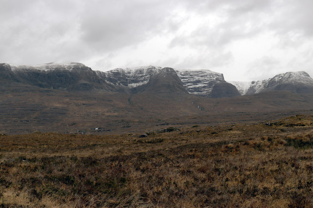
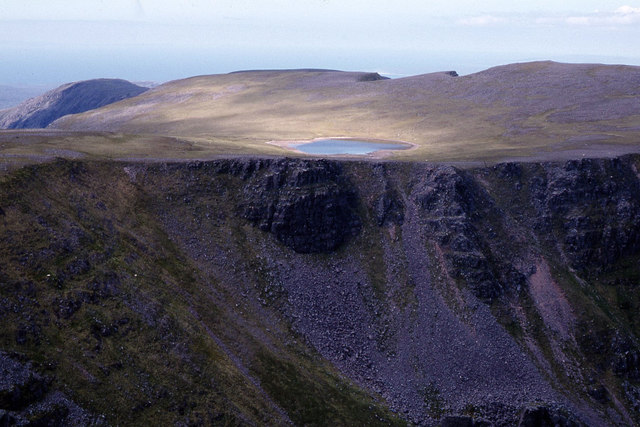
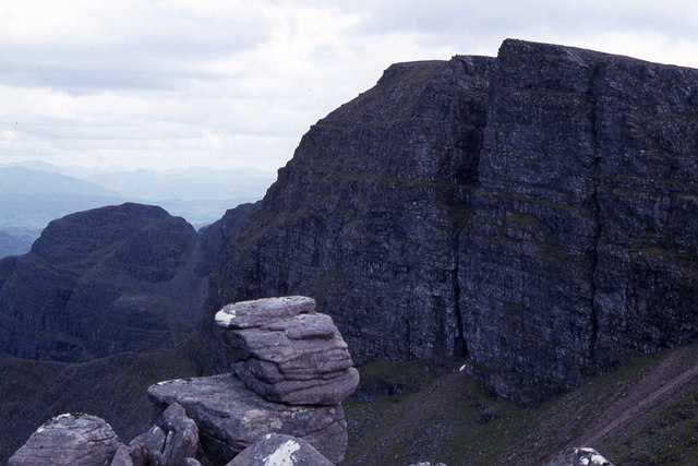
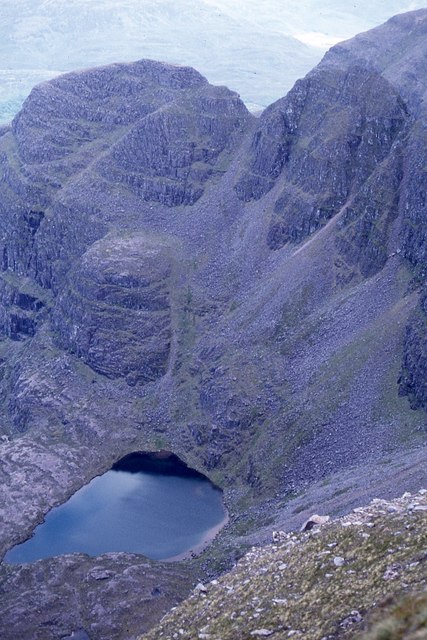
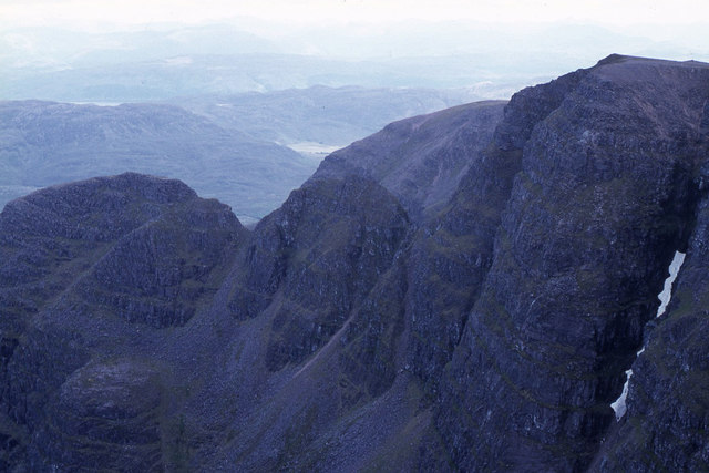
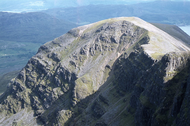
A' Phoit is a prominent hill located in Ross-shire, Scotland. Standing at an elevation of approximately 749 meters (2,457 feet), it is classified as a Corbett, which is a Scottish hill between 2,500 and 3,000 feet high. The hill is situated in the beautiful and remote region of Wester Ross, known for its stunning landscapes and rugged terrain.

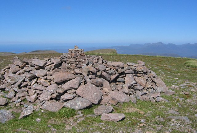
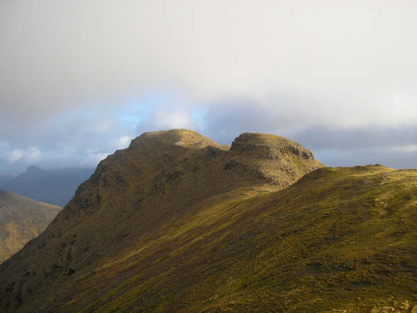
A' Phoit offers breathtaking views of the surrounding area, including the nearby Lochcarron and the North Coast 500 route, a popular scenic road trip. The hill is characterized by its steep slopes and rocky terrain, making it a challenging yet rewarding climb for outdoor enthusiasts. It is often frequented by hikers, mountaineers, and nature lovers who are drawn to its natural beauty.

The hill is home to a variety of wildlife, including red deer, golden eagles, and ptarmigan, offering visitors the opportunity to observe and appreciate Scotland's diverse fauna. The area is also rich in flora, with heather, mosses, and lichens covering the hillside.

A' Phoit is accessible via various routes, with the most common starting point being the village of Lochcarron. It is recommended to be well-prepared and equipped with appropriate clothing and navigation tools when embarking on a hike up A' Phoit, as the weather conditions can change rapidly and the terrain can be challenging.

Overall, A' Phoit is a picturesque and rewarding hill in Ross-shire, offering outdoor enthusiasts an opportunity to immerse themselves in the breathtaking beauty of the Scottish Highlands.

If you have any feedback on the listing, please let us know in the comments section below.
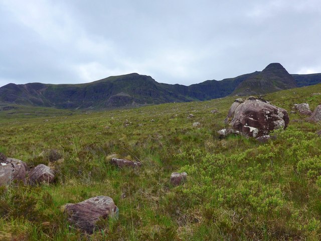
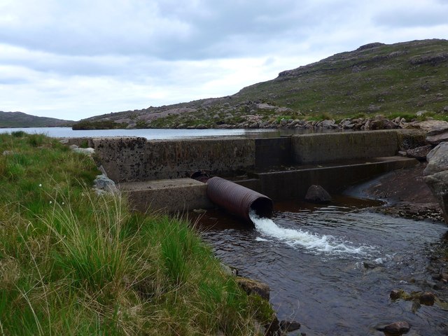
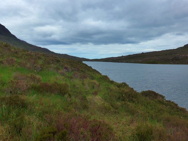
A' Phoit Images

Images are sourced within 2km of 57.445476/-5.6530069 or Grid Reference NG8045. Thanks to Geograph Open Source API. All images are credited.

Beinn Bhan, Applecross Taken from near the summit of Biod an Fhithich, and looking across Loch Duich.
Beinn Bhan, Applecross
Taken from near the summit of Biod an Fhithich, and looking across Loch Duich.
An airy drop to A'Chioch
Over the moorland to Coire na Feola
The dam at Loch Gaineamhach Not for hydro power, not for water supply;  just to provide a nice loch for fishermen.
The dam at Loch Gaineamhach
Not for hydro power, not for water supply; just to provide a nice loch for fishermen.
Loch Gaineamhach
Loch Gaineamhach
Northernmost corrie, Beinn Bhan Coire Toll a' Mheine at Easter 1998.
Northernmost corrie, Beinn Bhan
Coire Toll a' Mheine at Easter 1998.
Beinn Bhan from the Tornapress road Showing the huge sweep of moorland, and the high snow level in January 2020.
Beinn Bhan from the Tornapress road
Showing the huge sweep of moorland, and the high snow level in January 2020.
Cliffs above Coire an Fhamair & Loch na Beinne Baine beyond
Cliffs on north eastern flank of Beinn Bhan
Cliffs above Coire Toll a' Mheine
Coire na Poite below Beinn Bhan
Cliffs on A'Chioch, Beinn Bhan
The ridge southeast from Beinn Bhan
Wind-sculpted snow on Beinn Bhan
Crossing the western plateau of Beinn Bhan
Beinn Bhàn from Couldoran The long ridge of Beinn Bhàn (the 'white mountain') is the highest part of Applecross. The north-east side is dissected into a series of corries.
Beinn Bhàn from Couldoran
The long ridge of Beinn Bhàn (the 'white mountain') is the highest part of Applecross. The north-east side is dissected into a series of corries.
Summit of Beinn Bhan A flat patch of moorland, go a short way east though and you will encounter the vertical.
Summit of Beinn Bhan
A flat patch of moorland, go a short way east though and you will encounter the vertical.
A'Chioch As the corrie glaciers removed the eastern side of the hill, they left ridges behind. This one divides Coire na Poite and Coire na Feola, and provides a sporting route to the top.
A'Chioch
As the corrie glaciers removed the eastern side of the hill, they left ridges behind. This one divides Coire na Poite and Coire na Feola, and provides a sporting route to the top.
Show me another place!

A' Phoit is located at Grid Ref: NG8045 (Lat: 57.445476, Lng: -5.6530069)

Unitary Authority: Highland

Police Authority: Highlands and Islands

What 3 Words

///direction.fevered.milder. Near Lochcarron, Highland

Related Wikis

Nearby Amenities

Located within 500m of 57.445476,-5.6530069
Ford: yes
Lat/Long: 57.447704/-5.6464783
The data included in this document is from www.openstreetmap.org. The data is made available under ODbL.

Have you been to A' Phoit?

Leave your review of A' Phoit below (or comments, questions and feedback).