An Cnap
Hill, Mountain in Argyllshire
Scotland
An Cnap
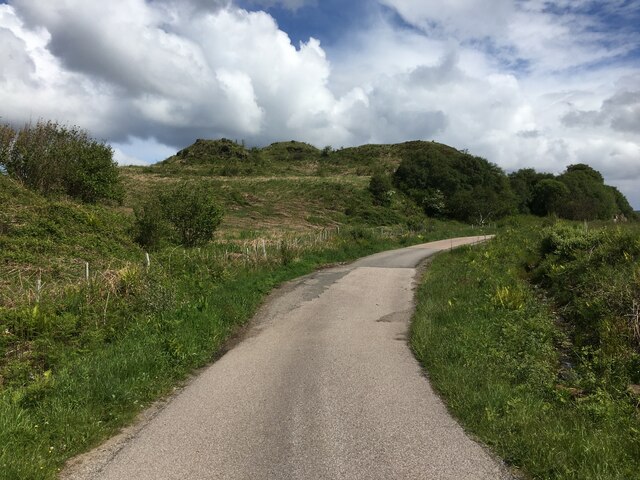
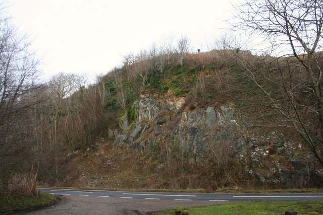
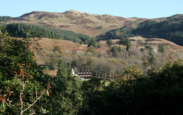
An Cnap is a prominent hill located in Argyllshire, Scotland. It is situated in the western part of the country, near the town of Dalmally. With an elevation of 570 meters (1,870 feet), An Cnap is classified as a Corbett, a term used for hills in Scotland between 2,500 and 3,000 feet high.
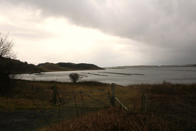
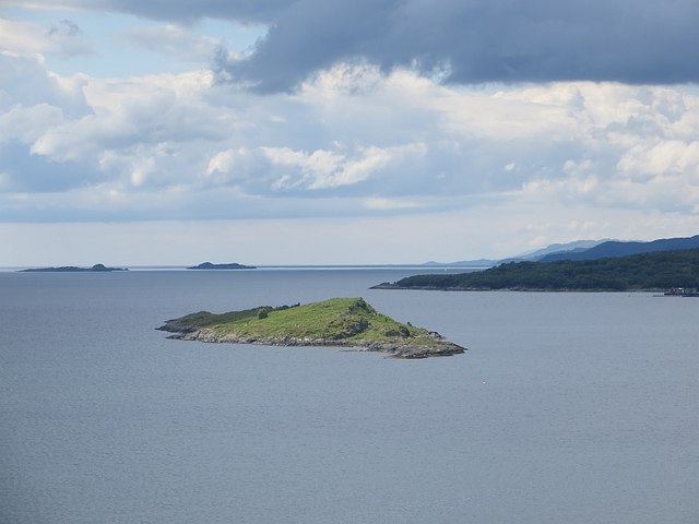
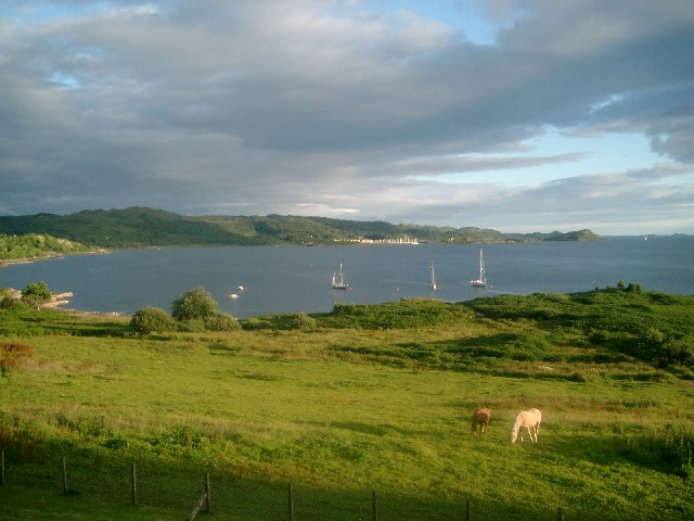
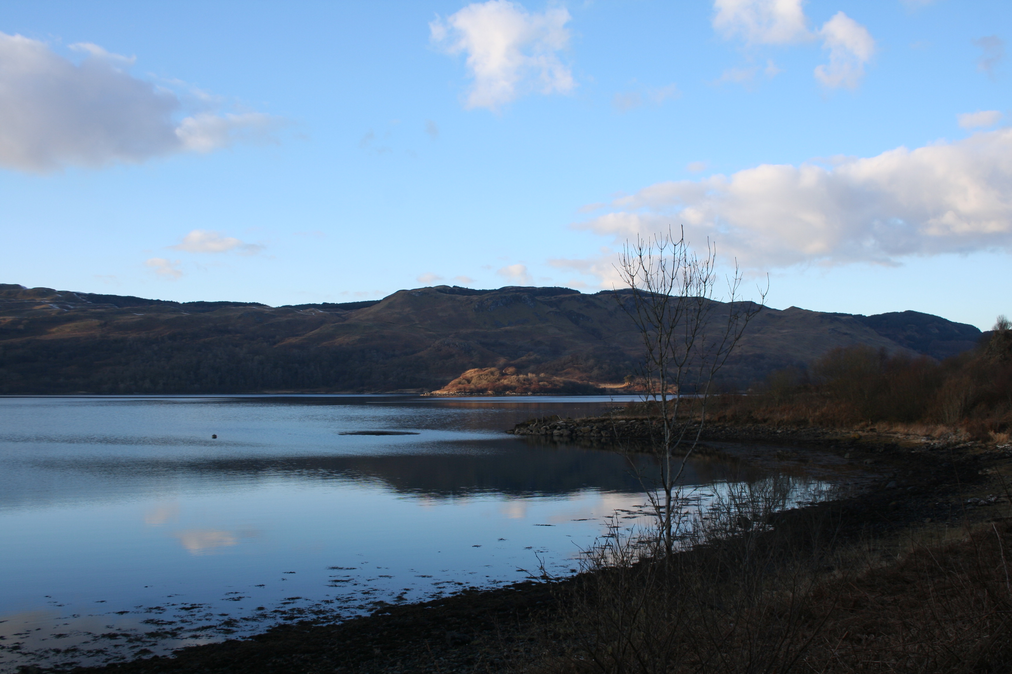
The hill is characterized by its distinctive shape, featuring a rounded summit and steep slopes covered in heather and grass. It offers breathtaking panoramic views of the surrounding countryside, including the nearby Loch Awe and the surrounding mountains. On clear days, it is even possible to see as far as the famous Ben Nevis, the highest mountain in the British Isles.
An Cnap is a popular destination for hikers and outdoor enthusiasts due to its accessibility and stunning vistas. Numerous well-marked trails lead to the summit, providing varying levels of difficulty for different skill levels. The ascent usually takes around 2 to 3 hours, depending on one's pace and fitness level.
The hill is also home to a diverse range of wildlife, including red deer, golden eagles, and various species of birds. It is not uncommon to spot these creatures while exploring the area.
Whether one is seeking a challenging hike or simply a peaceful walk in nature, An Cnap in Argyllshire is a magnificent destination that offers both stunning scenery and a connection to the natural beauty of the Scottish Highlands.
If you have any feedback on the listing, please let us know in the comments section below.
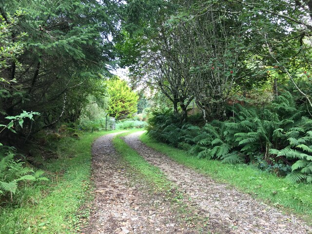
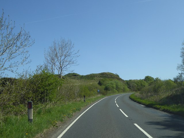
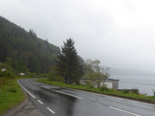
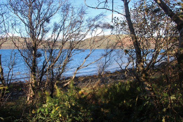
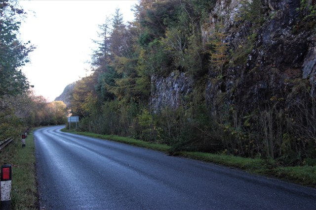
An Cnap Images
Images are sourced within 2km of 56.236272/-5.5625885 or Grid Reference NM7910. Thanks to Geograph Open Source API. All images are credited.

An Cnap is located at Grid Ref: NM7910 (Lat: 56.236272, Lng: -5.5625885)
Unitary Authority: Argyll and Bute
Police Authority: Argyll and West Dunbartonshire
What 3 Words
///easily.underway.locating. Near Oban, Argyll & Bute
Nearby Locations
Related Wikis

Asknish Bay
Asknish Bay is a small, remote, southwest-facing coastal embayment, located next to the small settlement of Arduaine within Argyll and Bute, Scotland....
Arduaine
Arduaine (Scottish Gaelic: An Àird Uaine, lit. 'green/fertile promontory or headland', pronounced "Ard oo an-ye") is a village in Argyll and Bute, Scotland...

Craobh Haven
Craobh Haven Scottish Gaelic pronunciation: [kɾɯːv] is a small purpose-built village and sailing port on the west coast of Argyll and Bute, Scotland. It...
Kames Bay, Loch Melfort
Kames Bay is small remote tidal north by northwest facing coastal embayment forming part of the southern coast of Loch Melfort within Argyll and Bute,...

Shuna, Slate Islands
Shuna (Scottish Gaelic: Siuna) is one of the Slate Islands lying east of Luing on the west coast of Scotland. == History == In 1815, James Yates, a Glasgow...
Torsa
Torsa (occasionally Torsay) is one of the Slate Islands in Argyll and Bute, Scotland. Lying east of Luing and south of Seil, this tidal island was inhabited...

Ardinamir
Ardinamir is an anchorage and small settlement on the island of Luing in Argyll and Bute, Scotland. == References ==

Craignish
Craignish (Scottish Gaelic, Creiginis) is a peninsula in Argyll, on the west coast of Scotland. It lies around 25 miles (40 km) south of Oban, and 10 miles...
Nearby Amenities
Located within 500m of 56.236272,-5.5625885Have you been to An Cnap?
Leave your review of An Cnap below (or comments, questions and feedback).