Rubha Àrduaine

Coastal Feature, Headland, Point in Argyllshire

Scotland

Rubha Àrduaine

Lay-by on the A816 near Loch Melfort
Lay-by on the A816 near Loch Melfort Credit: Steven Brown

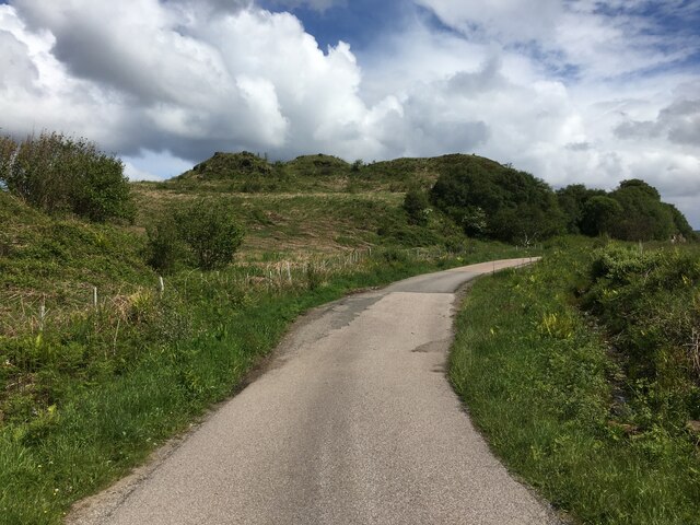
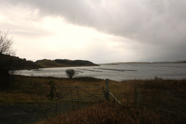
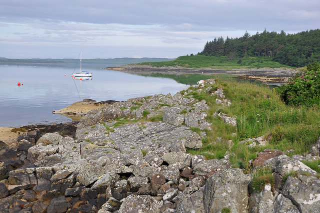
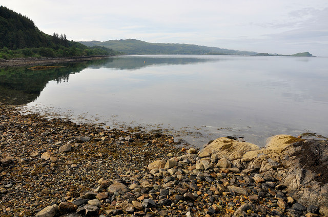
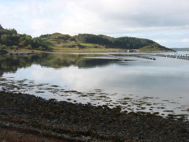
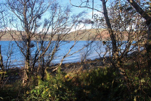
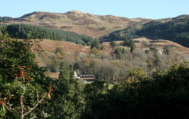
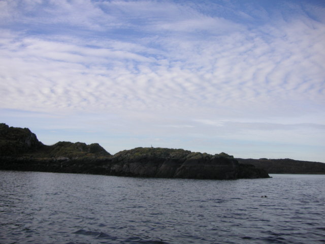
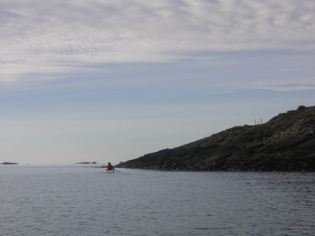
Rubha Àrduaine is a prominent headland located in Argyllshire, Scotland. Situated on the western coast, it is renowned for its captivating views and diverse wildlife. The headland extends into the Sound of Jura, providing a picturesque backdrop of the surrounding islands and mountains.

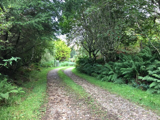
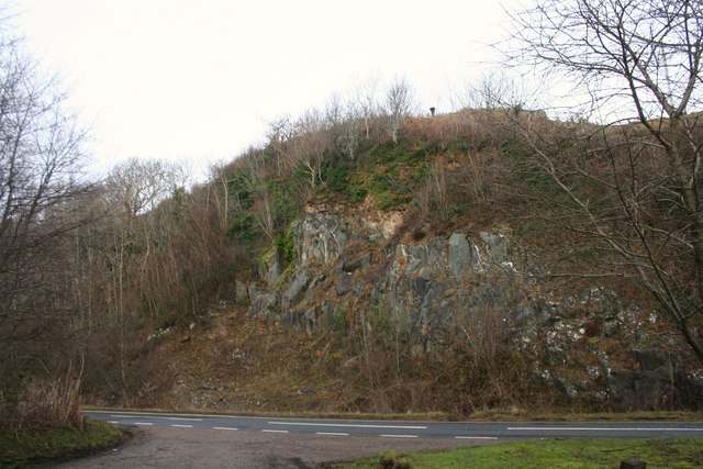
The rugged terrain of Rubha Àrduaine is characterized by steep cliffs and rocky outcrops, which make it a popular destination for avid hikers and nature enthusiasts. The headland is covered in lush vegetation, including heather, gorse, and various species of wildflowers, creating a vibrant and colorful landscape.

One of the main attractions of Rubha Àrduaine is the Arduaine Garden, a beautiful botanical garden located on the southern slopes of the headland. Established in the late 19th century, the garden features a wide range of exotic plants and flowers, including rhododendrons, azaleas, and magnolias. Visitors can explore the well-maintained paths and enjoy the tranquil ambiance while taking in the breathtaking views of the surrounding coastline.

The coastal waters surrounding Rubha Àrduaine are teeming with marine life, making it a haven for birdwatchers and wildlife enthusiasts. Seabirds such as gannets, cormorants, and puffins can be spotted nesting on the cliffs, while seals and dolphins often swim in the nearby waters. The headland also offers a fantastic vantage point for observing passing whales and basking sharks.

Overall, Rubha Àrduaine is a captivating coastal feature that offers a unique blend of natural beauty and biodiversity. With its stunning views, diverse flora, and abundant wildlife, it continues to attract visitors from near and far who seek to immerse themselves in the untamed splendor of Scotland's west coast.

If you have any feedback on the listing, please let us know in the comments section below.

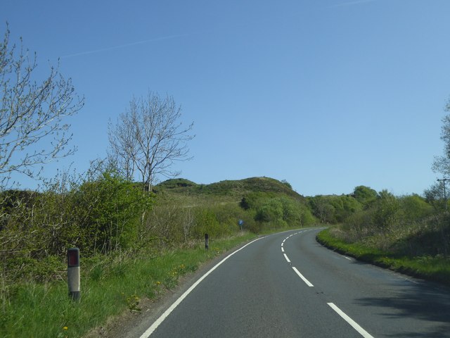
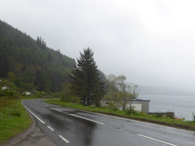
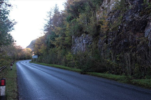
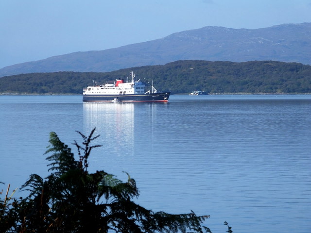
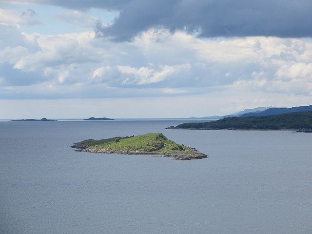
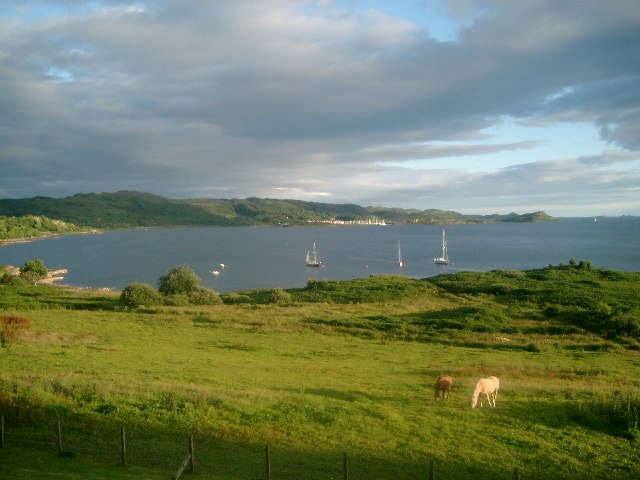
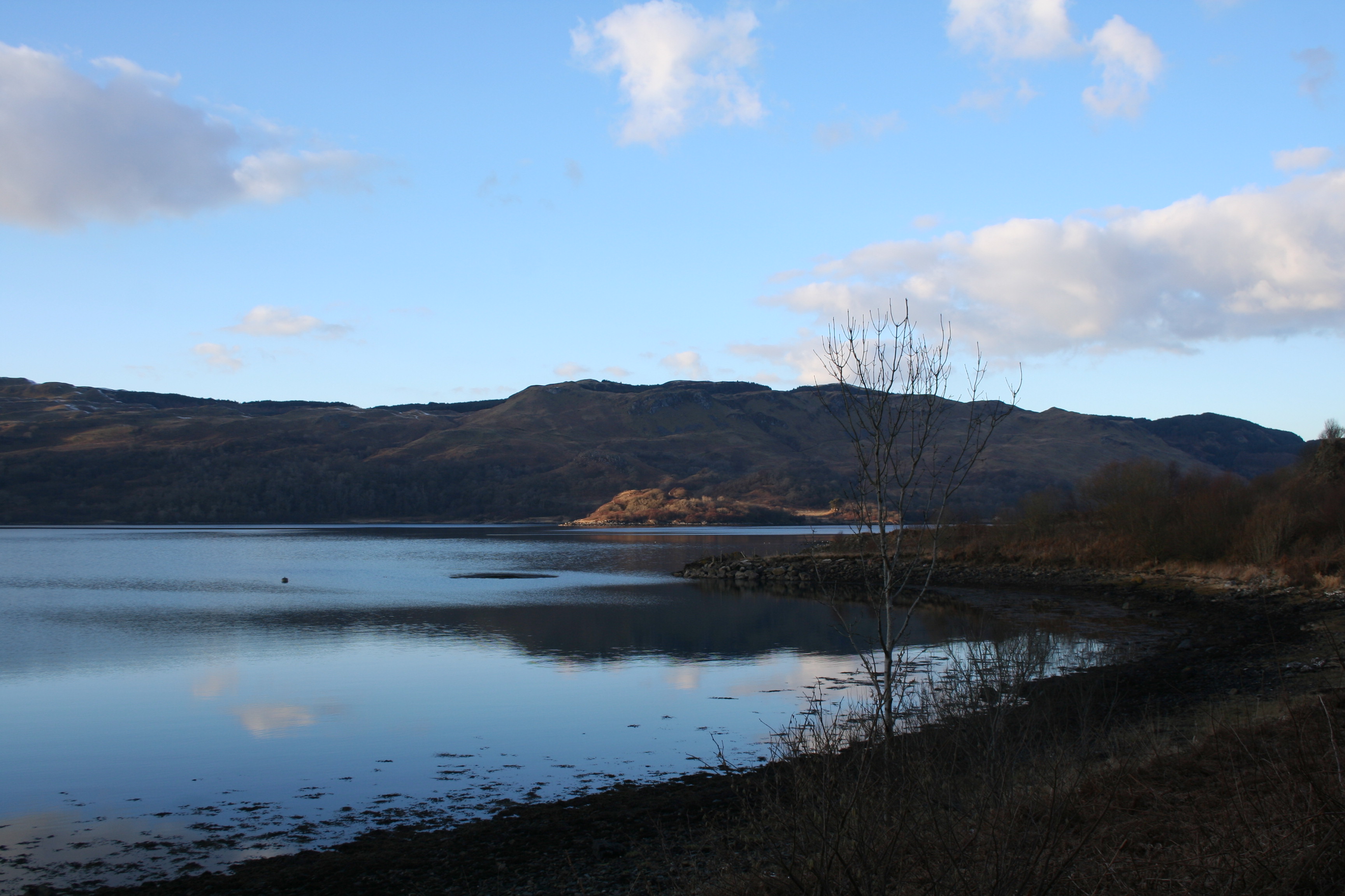
Rubha Àrduaine Images

Images are sourced within 2km of 56.235717/-5.5659432 or Grid Reference NM7910. Thanks to Geograph Open Source API. All images are credited.

Lay-by on the A816 near Loch Melfort
Track to Eathie
Track to Eathie
Roadside Cutting A cutting through rock by the A816.
Roadside Cutting
A cutting through rock by the A816.
Gateway to Loch Melfort A farm gate with Loch Melfort and a different type of farming evident in the sea loch.
Gateway to Loch Melfort
A farm gate with Loch Melfort and a different type of farming evident in the sea loch.
Arduaine The A816 is approximately 36½ miles long and forms a main connection on the west coast of Scotland between Lochgilphead on the A83 and Oban on the A85. It starts at a roundabout junction with the A83 trunk road on the western fringes of Lochgilphead and ends at Argyll Square in the centre of Oban where it meets the A85, close to the Railway Station and ferry terminal, passing through Kilmartin Glen along the way.
Arduaine
The A816 is approximately 36½ miles long and forms a main connection on the west coast of Scotland between Lochgilphead on the A83 and Oban on the A85. It starts at a roundabout junction with the A83 trunk road on the western fringes of Lochgilphead and ends at Argyll Square in the centre of Oban where it meets the A85, close to the Railway Station and ferry terminal, passing through Kilmartin Glen along the way.
Yacht at Arduaine A yacht moored up for the night in Asknish Bay.
Yacht at Arduaine
A yacht moored up for the night in Asknish Bay.
Rocky beach at Arduaine Just out of sight, to the left, is the pier.
Rocky beach at Arduaine
Just out of sight, to the left, is the pier.
The shore of Loch Melfort Clearly an active fish farm in the loch.
The shore of Loch Melfort
Clearly an active fish farm in the loch.
A816 at Creag Aoil
A816 at Creag Aoil
Wet A816 at Arduaine
Loch Melfort at Eathie
A816 at Arduaine
A816 at Arduaine
Arduaine The view from part of Arduaine Garden. The slopes lead up to the summit of Beinn Chaorach (257m) in the distance.  Sea View Lodges attached to the Loch Melfort Hotel are in the centre.
Arduaine
The view from part of Arduaine Garden. The slopes lead up to the summit of Beinn Chaorach (257m) in the distance. Sea View Lodges attached to the Loch Melfort Hotel are in the centre.
Old Milestone by the A816, north of Arduaine Milestone by the A816, in parish of Kilninver & Kilmelfort (Argyll & Bute District), North of Arduaine, on verge, South side of road.

Inscription once read:-
: (ARDRISHAIG / 19½) : : OBAN / 19½ :

Surveyed

Milestone Society National ID: AB_ONLG19
Old Milestone by the A816, north of Arduaine
Milestone by the A816, in parish of Kilninver & Kilmelfort (Argyll & Bute District), North of Arduaine, on verge, South side of road. Inscription once read:- : (ARDRISHAIG / 19½) : : OBAN / 19½ : Surveyed Milestone Society National ID: AB_ONLG19
North end of Eilean Creagach
South end of Eilean Creagach
"Hebridean Princess" visiting Loch Melfort
Eilean Creagach Island seen from the viewpoint in Arduaine Gardens.
Eilean Creagach
Island seen from the viewpoint in Arduaine Gardens.
Show me another place!

Rubha Àrduaine is located at Grid Ref: NM7910 (Lat: 56.235717, Lng: -5.5659432)

Unitary Authority: Argyll and Bute

Police Authority: Argyll and West Dunbartonshire

What 3 Words

///states.intention.stoops. Near Oban, Argyll & Bute

Related Wikis

Asknish Bay

Asknish Bay is a small, remote, southwest-facing coastal embayment, located next to the small settlement of Arduaine within Argyll and Bute, Scotland....

Arduaine

Arduaine (Scottish Gaelic: An Àird Uaine, lit. 'green/fertile promontory or headland', pronounced "Ard oo an-ye") is a village in Argyll and Bute, Scotland...

Craobh Haven

Craobh Haven Scottish Gaelic pronunciation: [kɾɯːv] is a small purpose-built village and sailing port on the west coast of Argyll and Bute, Scotland. It...

Kames Bay, Loch Melfort

Kames Bay is small remote tidal north by northwest facing coastal embayment forming part of the southern coast of Loch Melfort within Argyll and Bute,...

Nearby Amenities

Located within 500m of 56.235717,-5.5659432
Bench
Lat/Long: 56.2338967/-5.5628973
The data included in this document is from www.openstreetmap.org. The data is made available under ODbL.

Have you been to Rubha Àrduaine?

Leave your review of Rubha Àrduaine below (or comments, questions and feedback).