An Tòrr

Hill, Mountain in Ross-shire

Scotland

An Tòrr

Trigpoint, Meall na h-Airde Looking north-east towards Gairloch
Trigpoint, Meall na h-Airde Credit: Becky Williamson

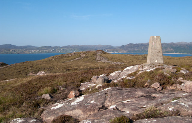
An Tòrr, located in Ross-shire, Scotland, is a prominent hill/mountain that offers stunning scenic views and a range of outdoor activities for nature enthusiasts. Standing at an elevation of approximately 1,400 feet (427 meters), it is a popular destination for hikers, climbers, and tourists seeking an adventurous experience in the Scottish Highlands.

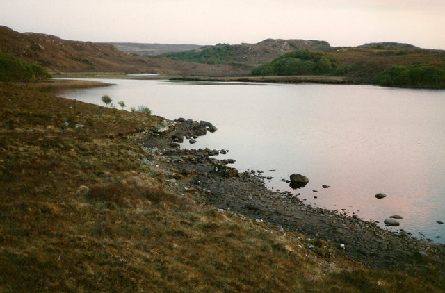
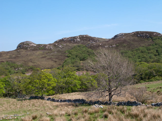
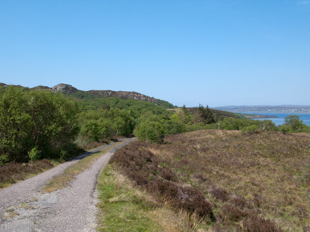
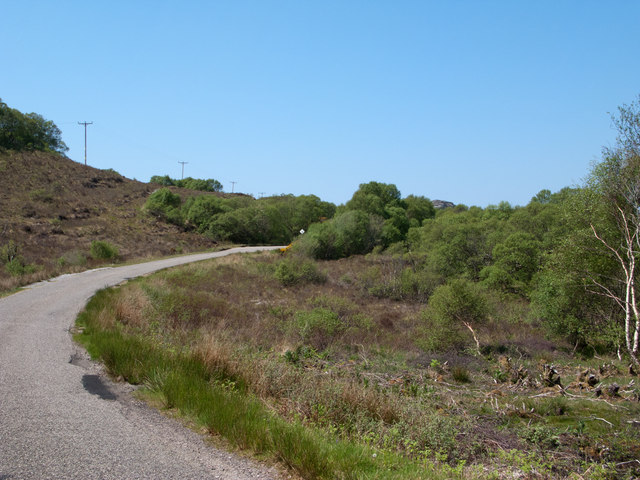
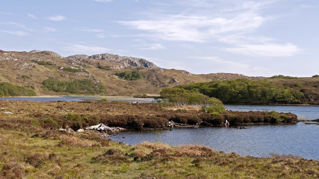
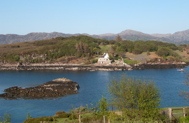
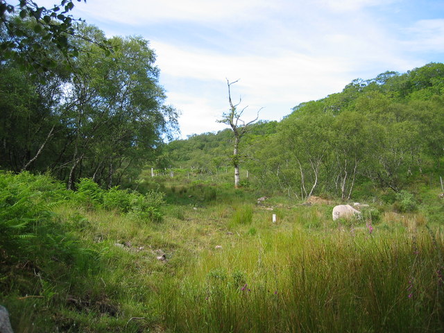
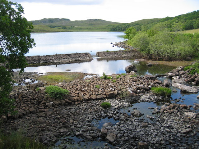
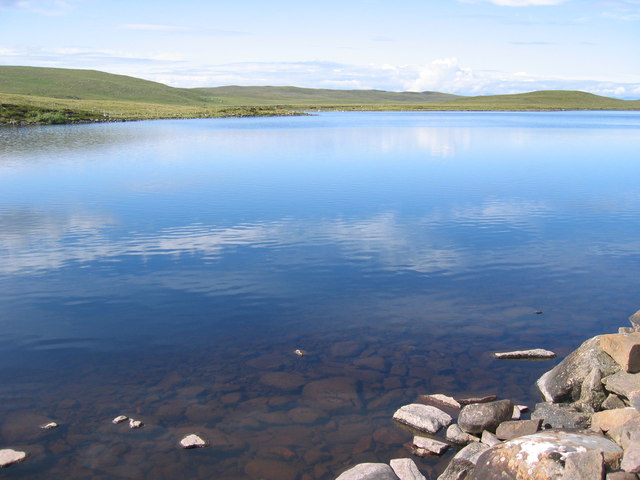
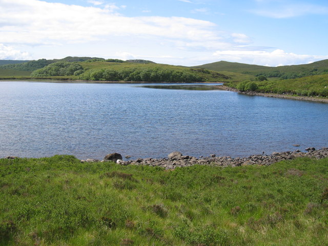
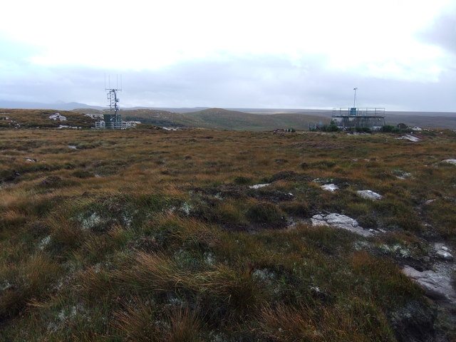
The terrain of An Tòrr is characterized by rocky slopes and heather-covered moorland, providing a diverse landscape for exploration. The hill/mountain is situated within the Balintore Forest, which adds to its natural beauty with a mix of coniferous and deciduous trees.

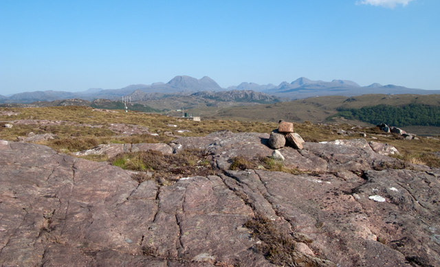
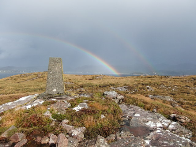
To reach the summit of An Tòrr, several trails and paths are available, catering to various skill levels. The ascent can be challenging at times, but the reward is unmatched panoramic views of the surrounding valleys, lochs, and distant peaks, such as Ben Wyvis and Ben Nevis.

Wildlife is abundant in the area, with sightings of red deer, golden eagles, and various bird species common. The hill/mountain is also home to a diverse range of plant species, including heather, wildflowers, and mosses.

For those interested in history, An Tòrr has archaeological significance. The hill/mountain boasts ancient standing stones and remnants of ancient settlements, providing a glimpse into the area's rich past.

Overall, An Tòrr in Ross-shire offers a memorable outdoor experience, combining natural beauty, recreational activities, and a touch of history. Whether it's for a challenging hike, breathtaking views, or a peaceful exploration of nature, this hill/mountain has something to offer for every adventurer.

If you have any feedback on the listing, please let us know in the comments section below.
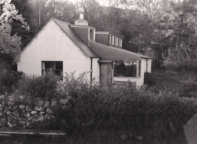
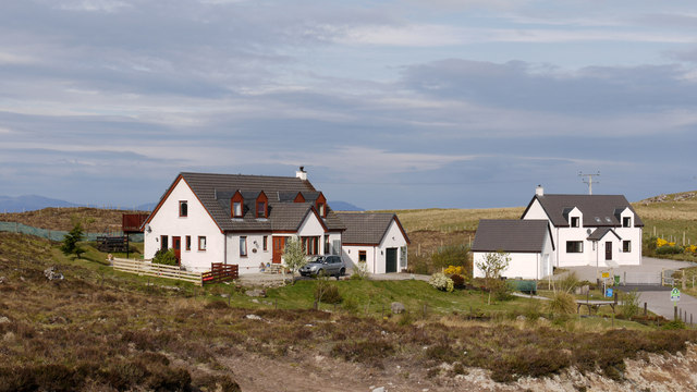
An Tòrr Images

Images are sourced within 2km of 57.695557/-5.7155686 or Grid Reference NG7873. Thanks to Geograph Open Source API. All images are credited.

Trigpoint, Meall na h-Airde Looking north-east towards Gairloch
Trigpoint, Meall na h-Airde
Looking north-east towards Gairloch
Aird Cottage
Aird Cottage
Loch Bad a' Chrotha
Loch Bad a' Chrotha
New housing at Badachro Badachro is a small village on the south side of Loch Gairloch. The detached houses seen in this image are part of the Coille Dhorch development on what was until recently, moorland.
New housing at Badachro
Badachro is a small village on the south side of Loch Gairloch. The detached houses seen in this image are part of the Coille Dhorch development on what was until recently, moorland.
An Torr An Torr is a minor hill rising to just 96m, lying east of the village of Badachro.
An Torr
An Torr is a minor hill rising to just 96m, lying east of the village of Badachro.
Road descending to Camas na h-Airigh The road leaves the B8056 near to Badachro giving access to the few homes above the bay. Loch Gairloch lies in the distance.
Road descending to Camas na h-Airigh
The road leaves the B8056 near to Badachro giving access to the few homes above the bay. Loch Gairloch lies in the distance.
B8056 above Leacnasaide Leacnasaide is a small community above Loch Shieldaig; the B8056 is seen here passing above it on its way to Red Point.
B8056 above Leacnasaide
Leacnasaide is a small community above Loch Shieldaig; the B8056 is seen here passing above it on its way to Red Point.
Loch Bad a' Chròtha Loch Bad a' Chròtha as seen from close to the B8032. A promontory bearing a few trees juts into the water; seen at its base are the remains of ancient trees preserved in peat bog and now exposed again.
Loch Bad a' Chròtha
Loch Bad a' Chròtha as seen from close to the B8032. A promontory bearing a few trees juts into the water; seen at its base are the remains of ancient trees preserved in peat bog and now exposed again.
Sandstone slab with cairn on Meall na h-Airde Meall na h-Airde is a low hill on the south side of Loch Gairloch. Baosbheinn is the distant, prominent mountain at the left side of the image; the Torridon mountains lie to the right of it.
Sandstone slab with cairn on Meall na h-Airde
Meall na h-Airde is a low hill on the south side of Loch Gairloch. Baosbheinn is the distant, prominent mountain at the left side of the image; the Torridon mountains lie to the right of it.
Trig point of Meall na h-Airde Meall na h-Airde is a low hill on the south side of Loch Gairloch. Sandstone ribs run away from the pillar towards the loch.
Trig point of Meall na h-Airde
Meall na h-Airde is a low hill on the south side of Loch Gairloch. Sandstone ribs run away from the pillar towards the loch.
Eilean Horrisdale Eilean Horrisdale as seen from Aird, to the west.
Eilean Horrisdale
Eilean Horrisdale as seen from Aird, to the west.
Woodland above Leacnasaide
Scrubland near Leacnasaide
Weir at Loch Bad a' Chrotha
Loch Bad na h-Achlaise
Loch Bad a' Chrotha
Loch Bad a' Chrotha
Double rainbow , Meall na h-Airde
Mast and reservoir on Meall na h-Airde
Show me another place!

An Tòrr is located at Grid Ref: NG7873 (Lat: 57.695557, Lng: -5.7155686)

Unitary Authority: Highland

Police Authority: Highlands and Islands

What 3 Words

///technical.goodbye.towers. Near Gairloch, Highland

Related Wikis

Badachro

Badachro (Scottish Gaelic: Bad a' Chrò) is a former fishing village, in the northwest Highlands of Scotland. == Geography == Badachro sits about 3 km south...

Broadford Beds Formation

The Broadford Beds Formation is a Sinemurian geologic formation in western Scotland. An indeterminate partial tibia of a theropod dinosaur are among the...

Eilean Horrisdale

Eilean Horrisdale is an uninhabited island in Loch Gairloch in Wester Ross, Scotland. == Geography == Eilean Horrisdale is the largest island in Loch Gairloch...

Gair Loch

The Gair Loch is a sea loch on the North West coast of Highland, Scotland. In Scottish Gaelic it is an Geàrr Loch meaning 'the short loch'. Around 6 miles...

An Ard

An Ard (Scottish Gaelic: ) is a collection of small settlements on the A832 road, close to Charlestown, in Gairloch, Ross-shire, on the east shore of Gair...

Port Henderson

Port Henderson (Scottish Gaelic: Portaigil) is a fishing village on the south west shore of the Gair Loch near the village of Gairloch, Ross-shire, Scottish...

Charlestown, Wester Ross

Charlestown is a small hamlet, making up one of the settlements which are collectively called Gairloch, and located directly south of the main village...

Fairy Lochs

The Fairy Lochs is a recent English name for Na Lochan Sgeireach and are a small group of freshwater lochans approximately 2 mi (3.2 km) south-east of...

Nearby Amenities

Located within 500m of 57.695557,-5.7155686
Source: PGS
Lat/Long: 57.6992935/-5.7117051
Source: PGS
Lat/Long: 57.6993006/-5.7127255
Source: PGS
Lat/Long: 57.6995332/-5.7145012
Source: PGS
Lat/Long: 57.699921/-5.7149378
Waterway: waterfall
Lat/Long: 57.6973956/-5.7221755
Power: pole
Lat/Long: 57.6947406/-5.7236109
Power: pole
Lat/Long: 57.6944182/-5.7231108
Power: pole
Lat/Long: 57.6939632/-5.7224141
Power: pole
Lat/Long: 57.693442/-5.720658
Power: pole
Lat/Long: 57.6931675/-5.7196254
Power: pole
Lat/Long: 57.692937/-5.7187932
Power: pole
Lat/Long: 57.6931267/-5.7175448
Power: pole
Lat/Long: 57.6932563/-5.7163518
Power: pole
Lat/Long: 57.6933787/-5.7150634
Power: pole
Lat/Long: 57.6934777/-5.7138399
Power: pole
Lat/Long: 57.6935685/-5.7126756
Power: pole
Lat/Long: 57.6937052/-5.7111848
Power: pole
Lat/Long: 57.6938112/-5.7099861
Power: pole
Lat/Long: 57.6938949/-5.708858
Power: pole
Lat/Long: 57.6939153/-5.7083179
The data included in this document is from www.openstreetmap.org. The data is made available under ODbL.

Have you been to An Tòrr?

Leave your review of An Tòrr below (or comments, questions and feedback).