A' Chruach
Hill, Mountain in Argyllshire
Scotland
A' Chruach
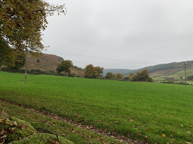
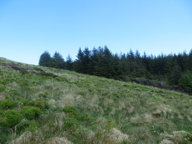
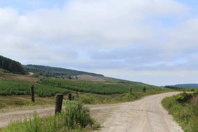
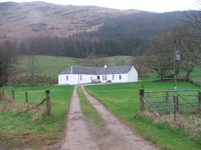
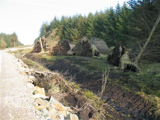
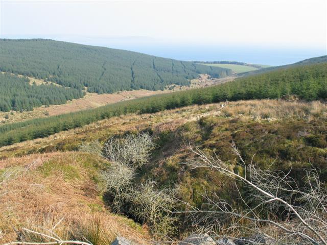
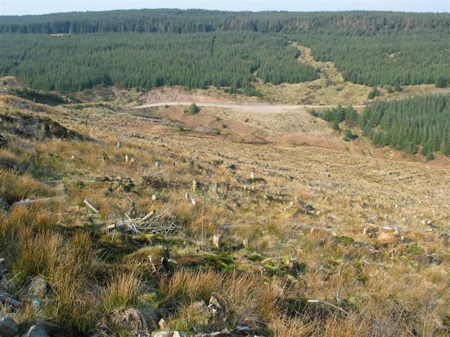
A' Chruach is a prominent hill located in the region of Argyllshire, Scotland. With an elevation of approximately 512 meters (1,680 feet), it is considered a significant landmark in the area. Situated amidst the stunning Scottish Highlands, A' Chruach offers breathtaking panoramic views of the surrounding landscape.
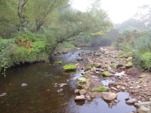
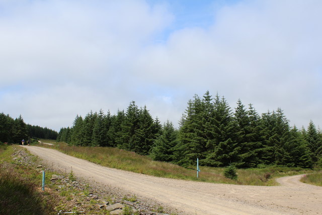
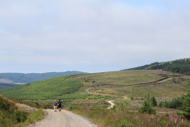
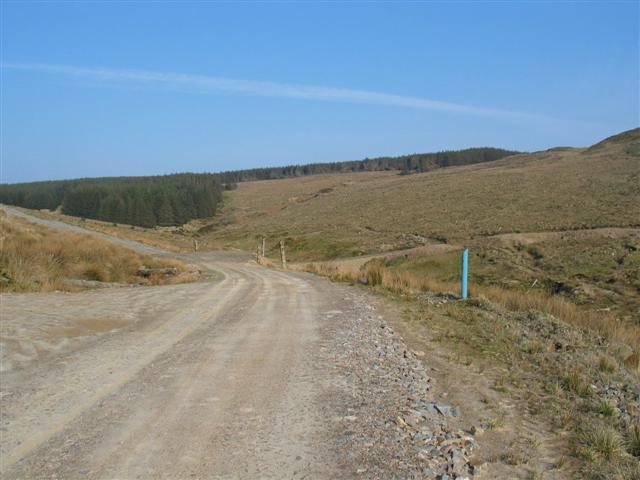
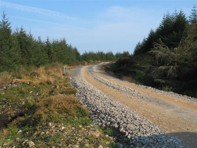
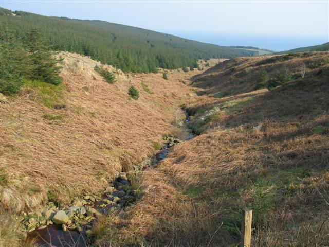
The hill is characterized by its steep slopes and rugged terrain, making it a challenging yet rewarding destination for outdoor enthusiasts and hikers. The ascent to the summit can be demanding, but the stunning vistas of the Argyll countryside and the nearby Loch Awe make it well worth the effort.
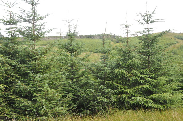
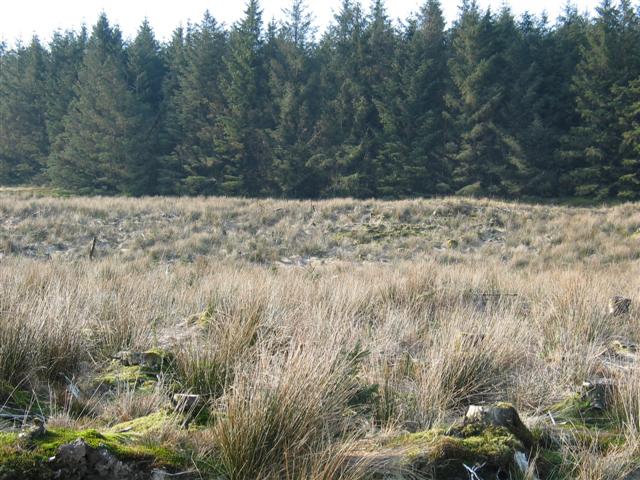
A' Chruach is adorned with a diverse range of flora and fauna, adding to its natural charm. Visitors can expect to encounter a variety of plant species, including heather, bracken, and mosses, as they navigate their way through the hill. Wildlife enthusiasts will also be pleased to spot several species of birds, such as buzzards and kestrels, soaring above.
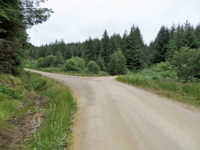
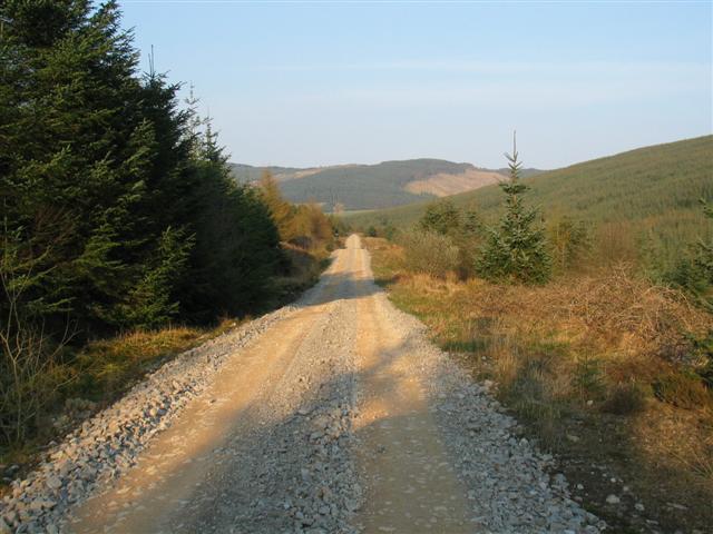
The hill is easily accessible by a well-maintained footpath that starts from a nearby village. This path guides visitors through the picturesque surroundings, offering an opportunity to immerse themselves in the tranquility of the Scottish countryside.
A' Chruach is not only an attractive destination for outdoor activities, but it also holds historical significance. The hill is said to have been used as a lookout point during ancient times, allowing its inhabitants to survey the surrounding lands. Today, remnants of these ancient structures can still be found, adding an intriguing historical element to the experience.
Overall, A' Chruach is a must-visit destination for nature lovers, outdoor enthusiasts, and those seeking a glimpse into Scotland's rich history.
If you have any feedback on the listing, please let us know in the comments section below.
A' Chruach Images
Images are sourced within 2km of 55.528662/-5.5456943 or Grid Reference NR7631. Thanks to Geograph Open Source API. All images are credited.
A' Chruach is located at Grid Ref: NR7631 (Lat: 55.528662, Lng: -5.5456943)
Unitary Authority: Argyll and Bute
Police Authority: Argyll and West Dunbartonshire
What 3 Words
///suggested.derailed.ready. Near Campbeltown, Argyll & Bute
Nearby Locations
Related Wikis

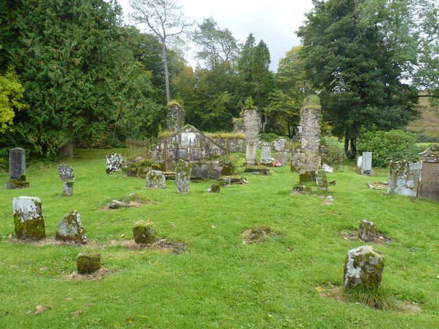
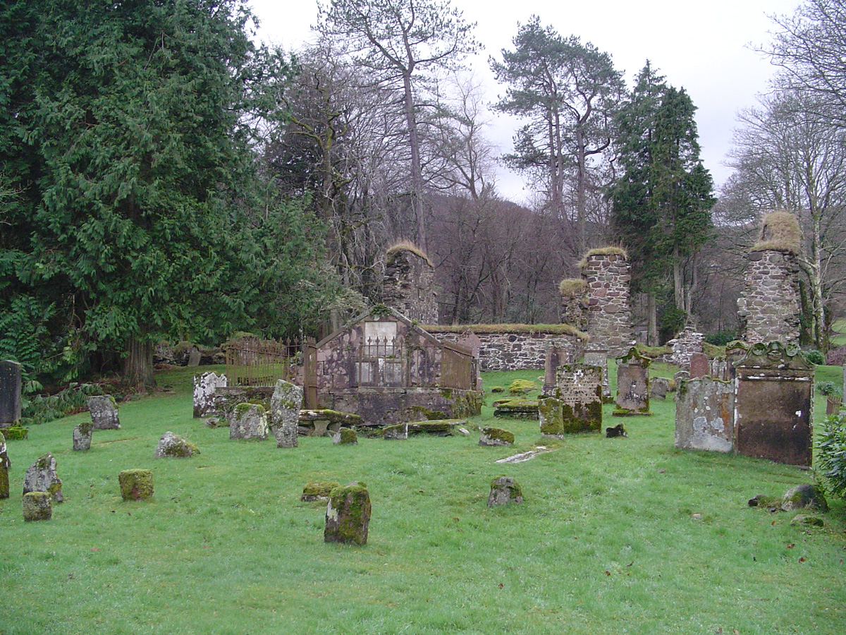
Saddell Abbey
Saddell Abbey is a ruined Cistercian monastery located in western Scotland. The abbey was established in 1160 by Somerled, Lord of Kintyre, who was killed...
Saddell
Saddell (Scottish Gaelic: Saghadal, pronounced [ˈs̪a.ət̪əl̪ˠ]) is a small Scottish village situated on the east side of the Kintyre Peninsula of Argyll...

Saddell Castle
Saddell Castle is a historic 16th-century castle on the shore of the Kilbrannan Sound near Saddell, Kintyre, Argyll and Bute, Scotland of significant importance...

Saddell Bay
Saddell Bay is an embayment along the eastern side of the Kintyre Peninsula of Scotland. Saddell Bay is an element of Kilbrannan Sound that separates the...

Kintyre
Kintyre (Scottish Gaelic: Cinn Tìre, Scottish Gaelic pronunciation: [kʲʰiɲˈtʲʰiːɾʲə]) is a peninsula in western Scotland, in the southwest of Argyll and...
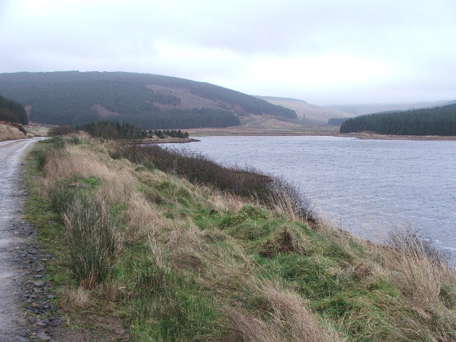
Kintyre Goose Roosts
The Kintyre Goose Roosts are a group of five oligotrophic hill lochs on the Kintyre peninsula in Argyll and Bute, western Scotland. With a total area of...

Kildonald Bay
Kildonald Bay is a bay on the eastern side of the Kintyre Peninsula of Scotland. Kildonald Bay is an element of Kilbrannan Sound that separates the Kintyre...

Beinn an Tuirc windfarm
Beinn an Tuirc wind farm is a wind farm in Argyll, Scotland. The site has 46 turbines with a total generating capacity of 30.36 MW, with each unit being...
Nearby Amenities
Located within 500m of 55.528662,-5.5456943Have you been to A' Chruach?
Leave your review of A' Chruach below (or comments, questions and feedback).