Cnoc Bealach an Eisg
Hill, Mountain in Argyllshire
Scotland
Cnoc Bealach an Eisg
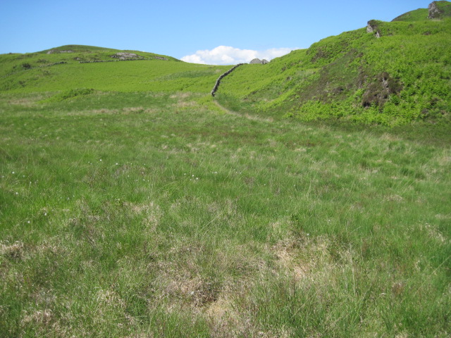
Cnoc Bealach an Eisg is a prominent hill located in Argyllshire, Scotland. It stands at an elevation of approximately 513 meters (1,683 feet) and is situated in a remote and rugged area known for its stunning natural beauty. The hill is part of the Beinn Bheula range, which is a popular destination for outdoor enthusiasts and hikers.
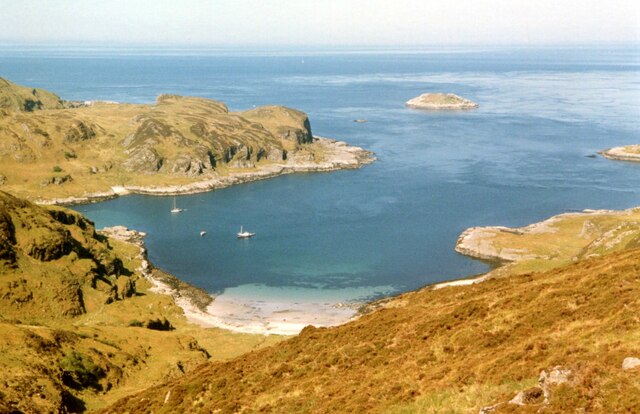
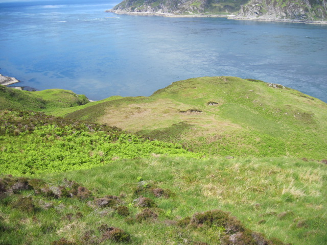
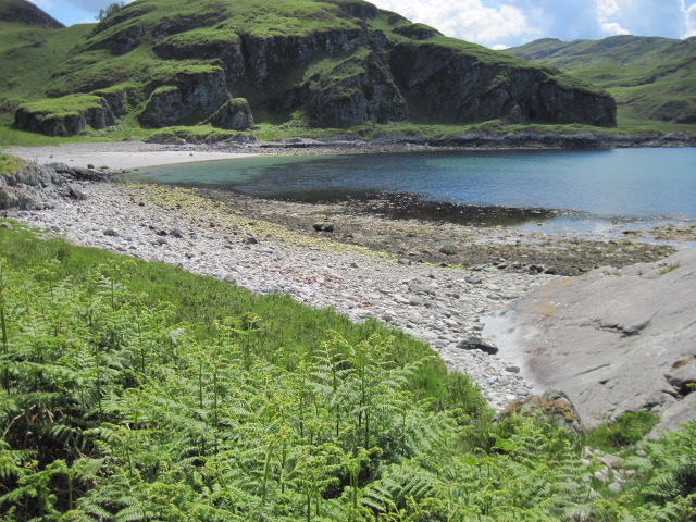
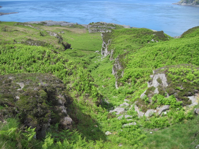
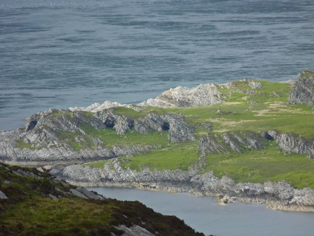
Cnoc Bealach an Eisg offers breathtaking panoramic views of the surrounding landscape, including the nearby Lochgoilhead and Loch Long. On a clear day, it is possible to see as far as the Isle of Arran and the Firth of Clyde. The hill itself is characterized by steep slopes and rocky terrain, making it a moderately challenging climb for experienced hikers.
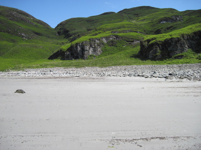
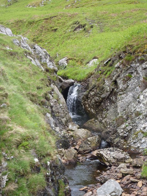
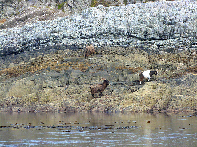
The surrounding area is rich in biodiversity and boasts a diverse range of plant and animal species. Hikers may come across red deer, golden eagles, and various types of wildflowers during their ascent. The hill is also home to several small lochs, adding to the picturesque scenery.
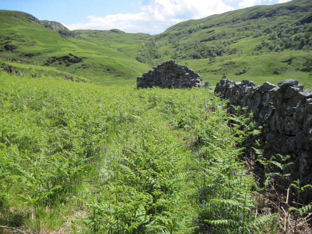
Access to Cnoc Bealach an Eisg is typically via a well-marked trail that begins at the village of Lochgoilhead. The trail offers a rewarding and varied hiking experience, with sections of steep ascent and more gentle slopes. It is advisable for hikers to be properly equipped with sturdy footwear, suitable clothing, and navigational tools due to the remote and sometimes challenging nature of the terrain.
Overall, Cnoc Bealach an Eisg is a captivating and rewarding hill to explore, offering stunning views and a chance to immerse oneself in the unspoiled beauty of Argyllshire's natural landscape.
If you have any feedback on the listing, please let us know in the comments section below.
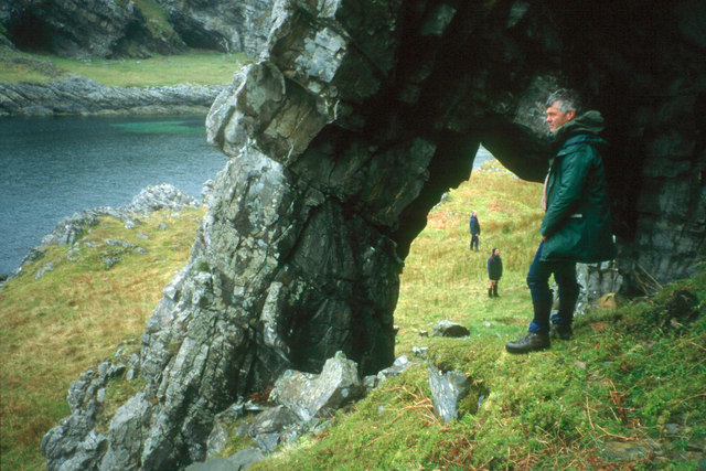
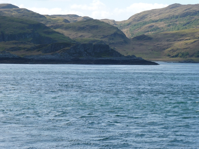
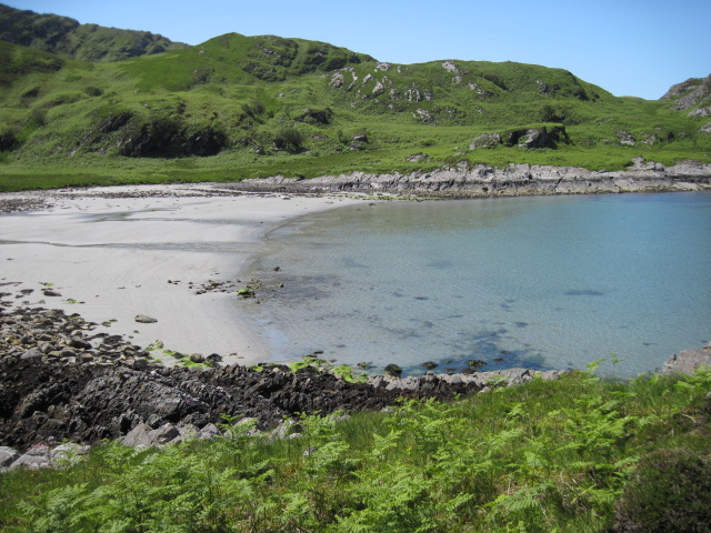
Cnoc Bealach an Eisg Images
Images are sourced within 2km of 56.132218/-5.7087879 or Grid Reference NR6999. Thanks to Geograph Open Source API. All images are credited.


Cnoc Bealach an Eisg is located at Grid Ref: NR6999 (Lat: 56.132218, Lng: -5.7087879)
Unitary Authority: Argyll and Bute
Police Authority: Argyll and West Dunbartonshire
What 3 Words
///tenure.apples.minority. Near Lochgilphead, Argyll & Bute
Nearby Locations
Related Wikis

Kinuachdrachd
Kinuachdrachd or Kinuachdrach is a place about 22 miles from Craighouse on the island of Jura, in the council area of Argyll and Bute, Scotland. It comprises...

Gulf of Corryvreckan
The Gulf of Corryvreckan (from the Gaelic Coire Bhreacain, meaning 'cauldron of the speckled seas' or 'cauldron of the plaid'), also called the Strait...

Barnhill, Jura
Barnhill is a farmhouse in the north of the island of Jura in the Scottish Inner Hebrides overlooking the Sound of Jura. It stands on the site of a larger...

Scarba
Scarba (Scottish Gaelic: Sgarba) is an island, in Argyll and Bute, Scotland, just north of the much larger island of Jura. The island has not been permanently...

Jura, Scotland
Jura ( JOOR-ə; Scottish Gaelic: Diùra) is an island in the Inner Hebrides of Scotland, adjacent to and northeast of Islay. With an area of 36,692 hectares...

Craignish Castle
Craignish Castle is located on the Craignish peninsula in Argyll, western Scotland and is a category B listed building. The present castle includes a 16th...

Loch Craignish
Loch Craignish is a sea loch on the mid-Argyll coast. == Geography == Loch Craignish lies between Oban and the Crinan Canal. Its opens into the Sound of...

Island Macaskin
Island Macaskin or MacAskin (Scottish Gaelic: Eilean MhicAsgain) is an island in Loch Craignish, in the Inner Hebrides of Scotland. It is owned by the...
Nearby Amenities
Located within 500m of 56.132218,-5.7087879Have you been to Cnoc Bealach an Eisg?
Leave your review of Cnoc Bealach an Eisg below (or comments, questions and feedback).