A' Mhaoile
Hill, Mountain in Inverness-shire
Scotland
A' Mhaoile
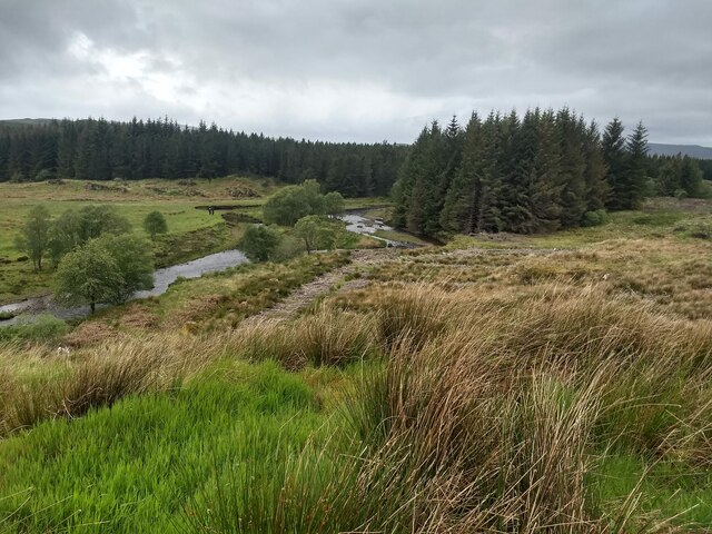
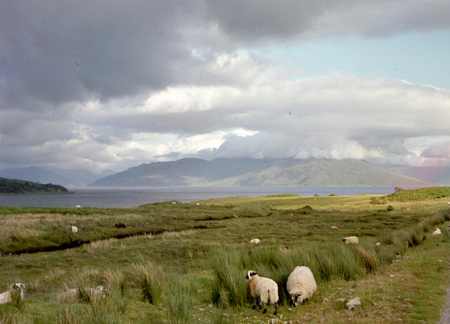
A' Mhaoile, located in Inverness-shire, Scotland, is a prominent hill/mountain known for its striking beauty and rich natural heritage. Standing at an elevation of approximately 1,056 meters (3,465 feet), it is a popular destination for hikers, mountaineers, and nature enthusiasts.
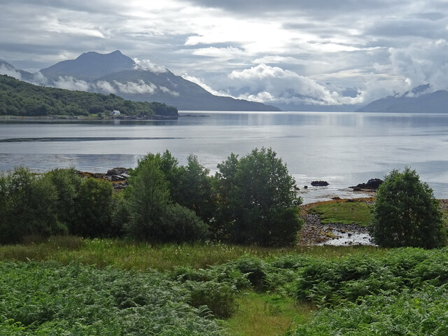
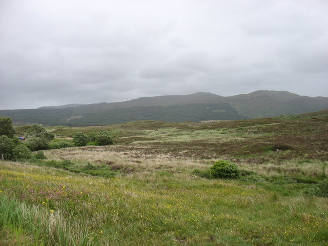
The hill/mountain is situated within the Cairngorms National Park, which is renowned for its rugged landscapes and diverse wildlife. A' Mhaoile offers breathtaking panoramic views of the surrounding countryside, with its summit providing an excellent vantage point to admire the awe-inspiring beauty of the Scottish Highlands.
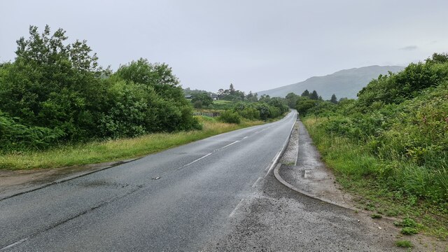
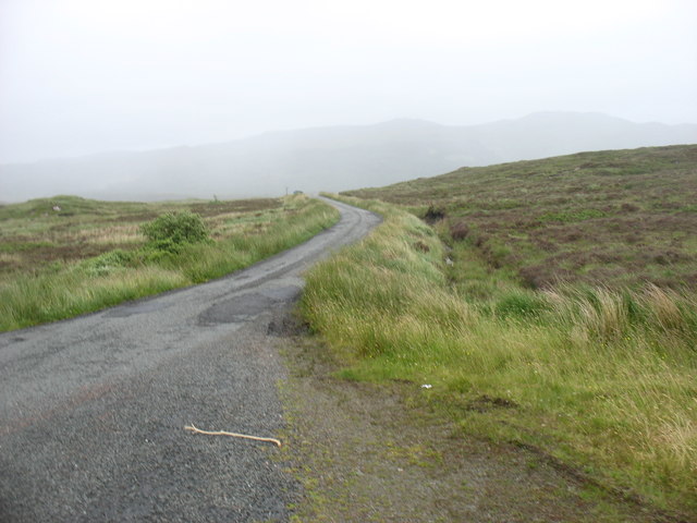
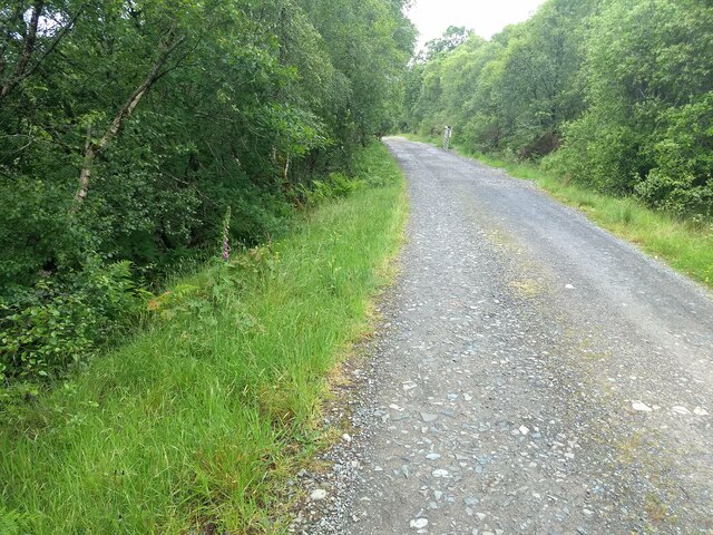
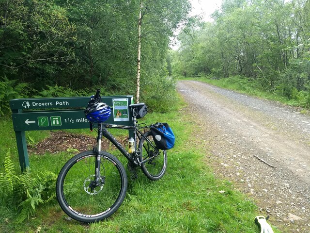
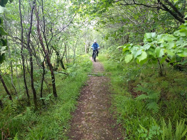
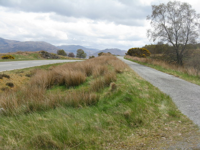
The ascent to the summit can be challenging, with steep slopes and rocky terrain, making it suitable for experienced hikers. The hill/mountain is often accessed from the nearby village of Aviemore, which serves as a starting point for many treks in the area. The trail leading to A' Mhaoile passes through picturesque valleys, lush forests, and crystal-clear streams, offering a truly immersive experience in nature.
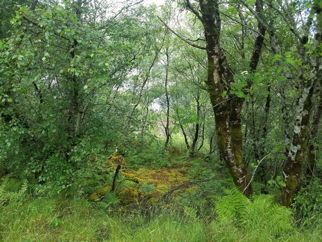
Wildlife enthusiasts may also be rewarded with sightings of various species that call this area home, including red deer, golden eagles, and ptarmigans. The hill/mountain is also renowned for its diverse flora, with heather, mosses, and wildflowers adorning its slopes.
A' Mhaoile is not only a natural gem but also plays a significant role in Scottish folklore and history. Its ancient Gaelic name translates to "the rounded hill," highlighting its distinctive shape and cultural importance.
Overall, A' Mhaoile in Inverness-shire is a captivating destination that showcases the grandeur of the Scottish Highlands, offering a memorable experience for outdoor enthusiasts and those seeking a deeper connection with nature.
If you have any feedback on the listing, please let us know in the comments section below.
A' Mhaoile Images
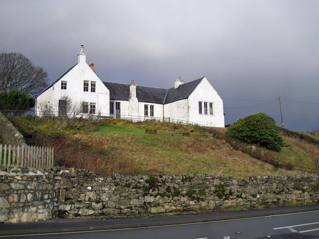
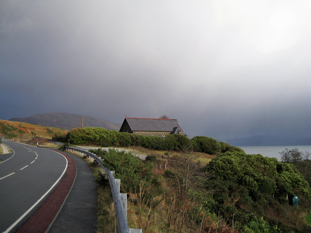
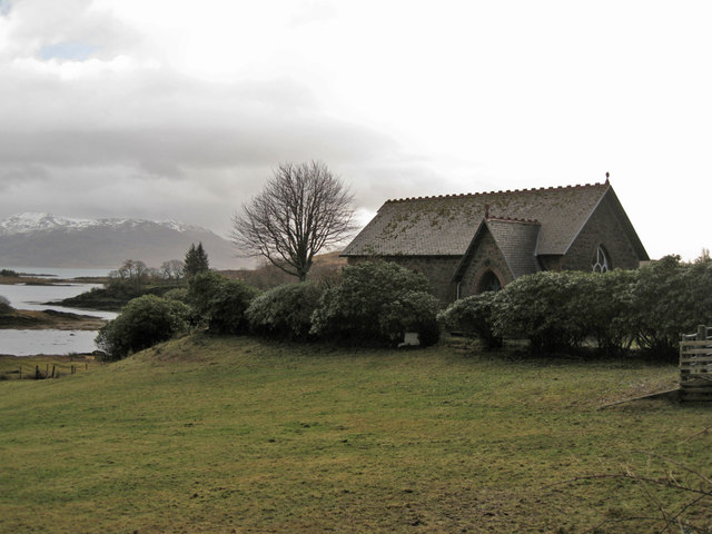
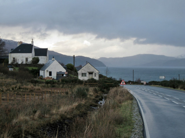
Images are sourced within 2km of 57.163865/-5.8119348 or Grid Reference NG6914. Thanks to Geograph Open Source API. All images are credited.
A' Mhaoile is located at Grid Ref: NG6914 (Lat: 57.163865, Lng: -5.8119348)
Unitary Authority: Highland
Police Authority: Highlands and Islands
What 3 Words
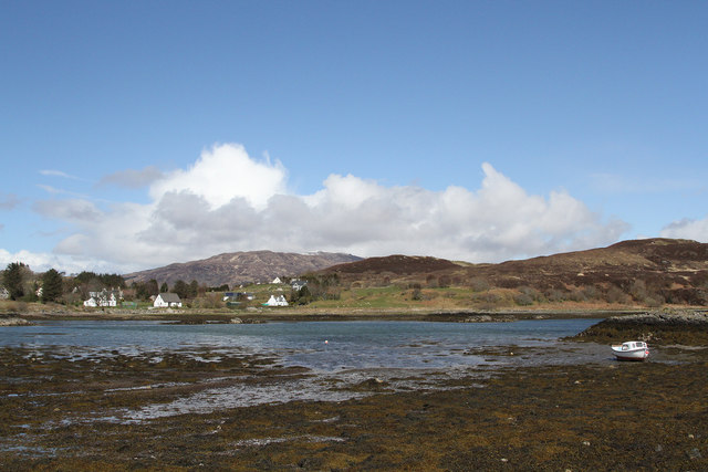
///warthog.staring.mutual. Near Broadford, Highland
Nearby Locations
Related Wikis

Loch na Dal
Loch na Dal (Scottish Gaelic: Loch na Dalach) is a sea loch on the Sleat Peninsula on the Isle of Skye in the Inner Hebrides of Scotland. Kinloch Lodge...

A851 road
The A851 road is one of the principal roads of the Isle of Skye in the Inner Hebrides off the west coast of mainland Scotland. It connects the ferry port...

Isleornsay
Isleornsay (Scottish Gaelic: Eilean Iarmain) is a village lying off the main Armadale to Sleat road (the A851) on the Isle of Skye in Scotland. It overlooks...
Té Bheag
Té Bheag (Scottish Gaelic pronunciation: [ˈtʲʰeː ˈvek]) is a blended Scotch whisky made by Pràban na Linne Ltd in Scotland. It is one of Sir Iain Noble...

Ornsay
Ornsay is a small tidal island to the east of the Sleat peninsula on the Isle of Skye in the Inner Hebrides of Scotland. == Description == The island provides...

Drumfearn
Drumfearn (Scottish Gaelic: An Druim Fheàrna) is a small crofting township, lying at the head of the Sleat peninsula, at the head of Loch Eishort, on...

Camuscross
Camuscross (Scottish Gaelic: Camus Croise) is a small crofting township on the Isle of Skye in Scotland. Camuscross is situated on Camus Croise bay, on...
Heaste
Heasta, Heast, or the anglicised form Heaste, pron. /heɪst/, is a small settlement on the island of Skye, Scotland. It is located on the west coast of...
Nearby Amenities
Located within 500m of 57.163865,-5.8119348Have you been to A' Mhaoile?
Leave your review of A' Mhaoile below (or comments, questions and feedback).