Cross, High

Settlement in Warwickshire Warwick

England

Cross, High

Grand Union Canal near Turner's Green
Grand Union Canal near Turner's Green Credit: Mark Percy

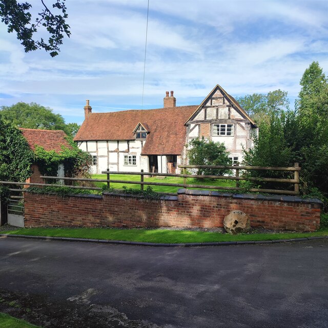
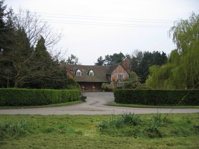
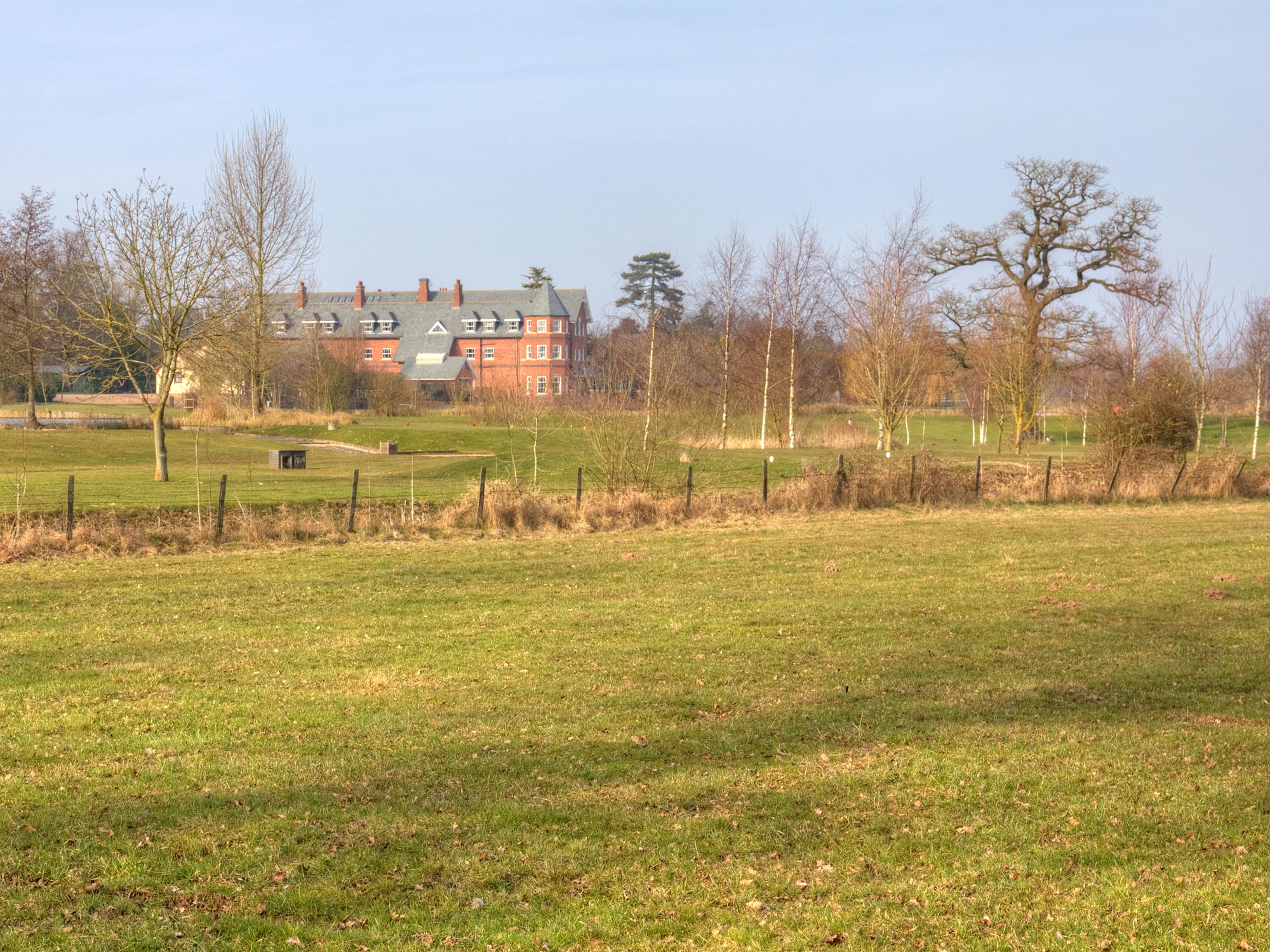
Cross, High is a charming village located in the county of Warwickshire, England. Situated in the heart of the county, it offers a picturesque and tranquil setting, surrounded by stunning countryside. The village is tucked away from major roads, providing residents with a peaceful and idyllic atmosphere.

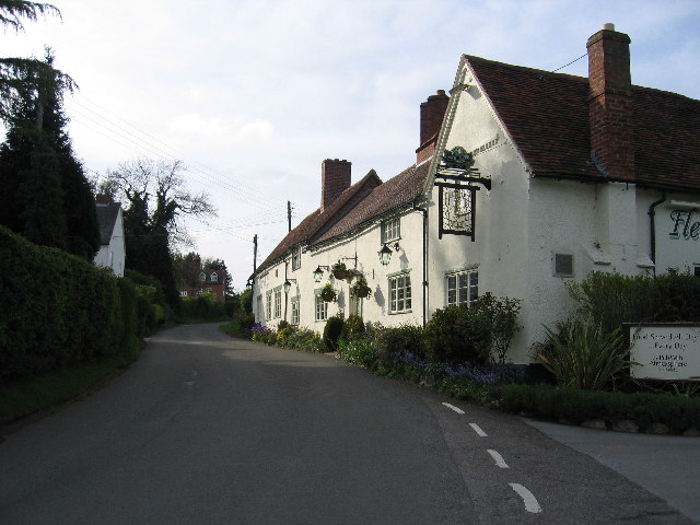
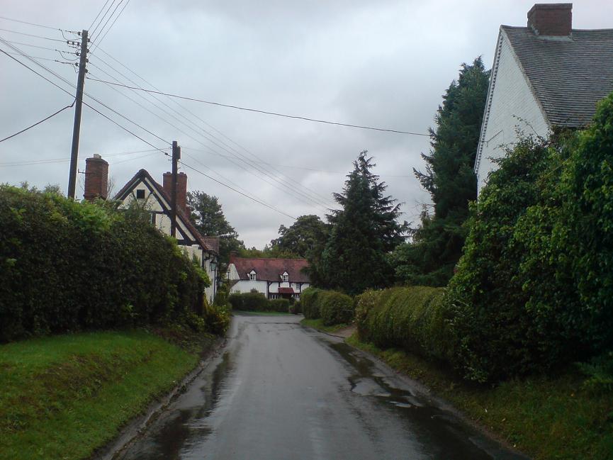
The architecture of Cross, High exudes a traditional English charm, with many historic buildings dating back several centuries. Its quaint streets are lined with beautiful cottages and well-maintained gardens, creating a visually pleasing environment. The village center houses a small but vibrant community, with a local pub, a village hall, and a primary school catering to the needs of the residents.

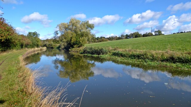
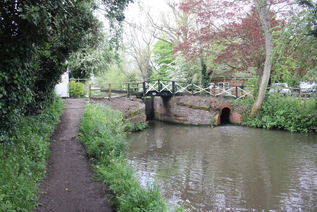
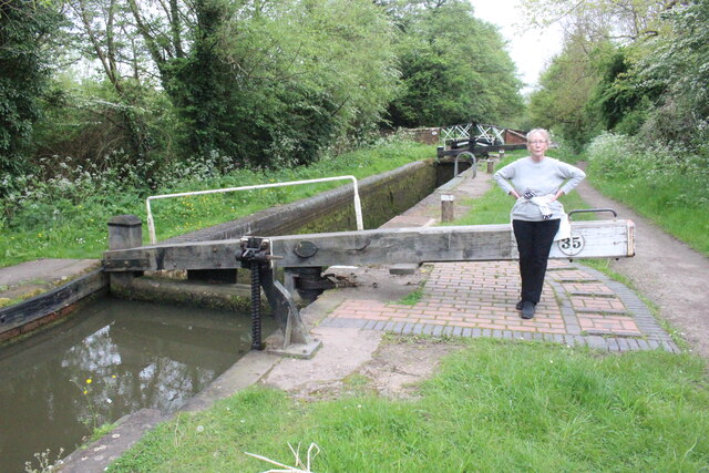
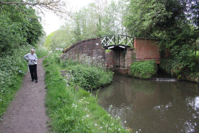
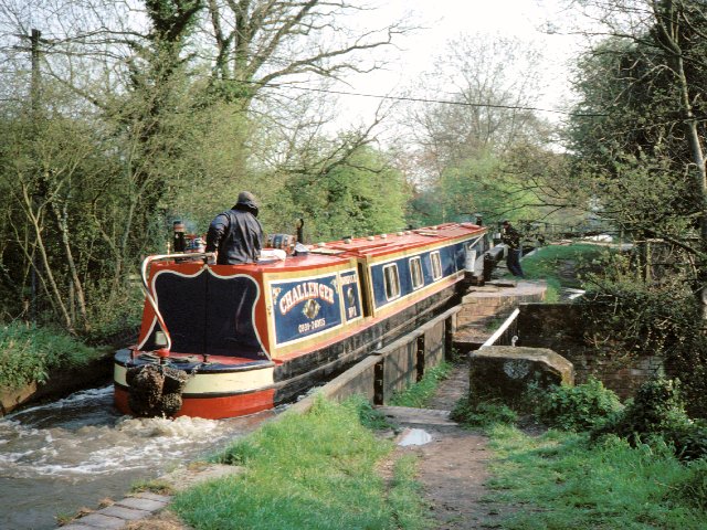
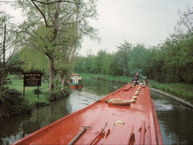
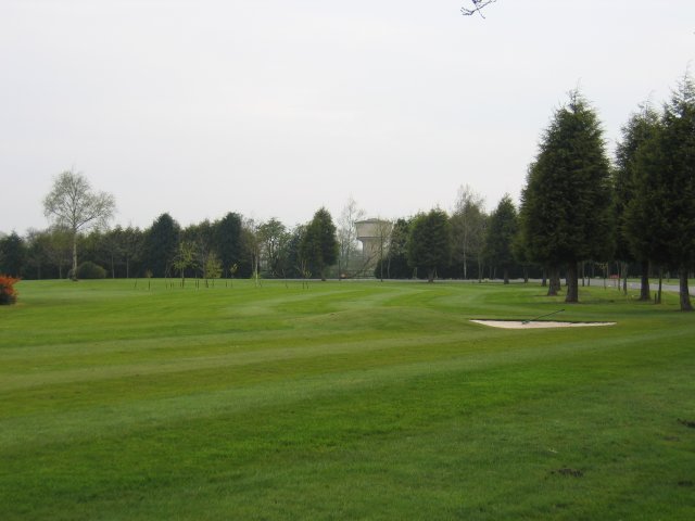
The surrounding area of Cross, High is known for its natural beauty, offering numerous opportunities for outdoor activities. There are several walking and cycling trails that crisscross the countryside, allowing residents to explore the stunning landscapes and enjoy the fresh air. The village is also in close proximity to the Warwickshire countryside, with its rolling hills and meandering rivers.

Despite its peaceful ambiance, Cross, High is conveniently located near major towns and cities. The nearby town of Stratford-upon-Avon, birthplace of William Shakespeare, is a popular tourist destination and offers a wide range of amenities and cultural attractions. The city of Birmingham, with its excellent shopping and entertainment options, is also within easy reach.

Overall, Cross, High is a delightful village that offers a harmonious blend of natural beauty, historic charm, and convenient access to urban amenities. It is an ideal place for those seeking a peaceful and idyllic lifestyle within the stunning Warwickshire countryside.

If you have any feedback on the listing, please let us know in the comments section below.
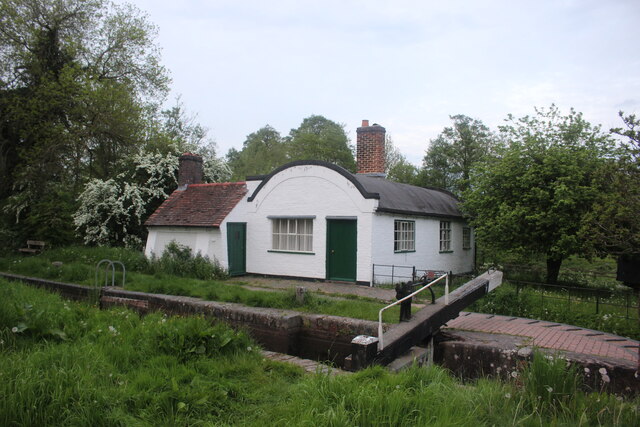
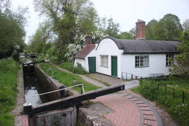
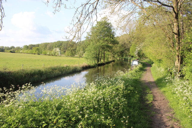
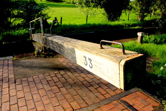
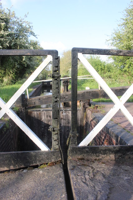
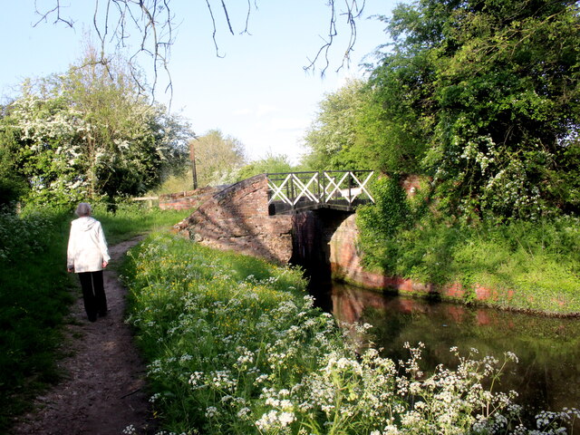
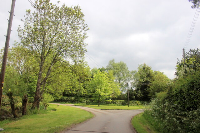
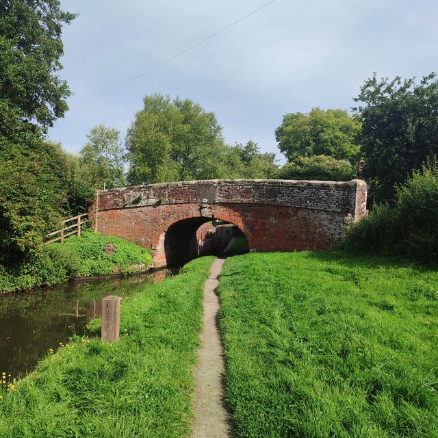
Cross, High Images

Images are sourced within 2km of 52.304961/-1.710749 or Grid Reference SP1967. Thanks to Geograph Open Source API. All images are credited.

Grand Union Canal near Turner's Green
Bridge 44A Stratford Upon  Avon  Canal Bridge 44A is at Yarningale Common next to lock 34. At this lock there is an old lock keepers cottage with a barrel vaulted roof that has been incorporated into a modern house. The cottage is called Bucket Lock Cottage.
Bridge 44A Stratford Upon Avon Canal
Bridge 44A is at Yarningale Common next to lock 34. At this lock there is an old lock keepers cottage with a barrel vaulted roof that has been incorporated into a modern house. The cottage is called Bucket Lock Cottage.
Lock 35 Stratford upon Avon Canal Lock 35 is adjacent to Yarningale Farm and a footpath crosses the can by the small bridge at the far end of the lock.
Lock 35 Stratford upon Avon Canal
Lock 35 is adjacent to Yarningale Farm and a footpath crosses the can by the small bridge at the far end of the lock.
Bridge 45 Stratford upon Aven Canal Bridge 45 carries a footpath over the canal and is adjacent to lock 35. The bridge is split so that the canal tow rope can pass through the bridge.
Bridge 45 Stratford upon Aven Canal
Bridge 45 carries a footpath over the canal and is adjacent to lock 35. The bridge is split so that the canal tow rope can pass through the bridge.
Lock Keeper's Cottage, Lock 31, Stratford Upon Avon Canal. This is a relatively unaltered barrel roofed lock keeprs cottage located next to the bridge in Lowsonford where the road to Shrewley crosses the canal.
Lock Keeper's Cottage, Lock 31, Stratford Upon Avon Canal.
This is a relatively unaltered barrel roofed lock keeprs cottage located next to the bridge in Lowsonford where the road to Shrewley crosses the canal.
Lock Keeper's Cottage Lock 31 Stratford Upon Avon Canal Barrel roofed cottage located adjacent to the canal lock. Photo taken from the bridge where Narrow Lane crosses the canal.
Lock Keeper's Cottage Lock 31 Stratford Upon Avon Canal
Barrel roofed cottage located adjacent to the canal lock. Photo taken from the bridge where Narrow Lane crosses the canal.
Stratford Upon Avon Canal This is in the middle of the long stretch between lock 33 and lock 32 of the canal.
Stratford Upon Avon Canal
This is in the middle of the long stretch between lock 33 and lock 32 of the canal.
Lock 33 Stratford Upon Avon Canal Traditional timber lock gate but the area around the lock gate has been repaved with red brick.
Lock 33 Stratford Upon Avon Canal
Traditional timber lock gate but the area around the lock gate has been repaved with red brick.
Split Bridge Lock 33 Stratford Upon Avon Canal The split bridge is where the towpath crossed from one side of the canal to the other and the split allowed the tow-rope to pass through the bridge. Over the years the sliding ropes wore deep grooves in the vertical members of the bridge. One or two of the grooves have cut nearly all the way through the vertical member and an iron plate has been bolted on the side of the member to prevent further wear and to reinforce it.
Split Bridge Lock 33 Stratford Upon Avon Canal
The split bridge is where the towpath crossed from one side of the canal to the other and the split allowed the tow-rope to pass through the bridge. Over the years the sliding ropes wore deep grooves in the vertical members of the bridge. One or two of the grooves have cut nearly all the way through the vertical member and an iron plate has been bolted on the side of the member to prevent further wear and to reinforce it.
Lock 33 Stratford Upon Avon Canal This shows the cross-over bridge with the open slot for horse tow ropes that is just next to the lock chamber.
Lock 33 Stratford Upon Avon Canal
This shows the cross-over bridge with the open slot for horse tow ropes that is just next to the lock chamber.
Road Junction in Holywell Holywell is a small village well off the beaten track just north of Claverdon.
Road Junction in Holywell
Holywell is a small village well off the beaten track just north of Claverdon.
Lowsonford Bridge
Lowsonford Bridge
Old House, Yarningale Lane
Yarningale lock and aqueduct Yarningale Lock on the Stratford-upon-Avon canal.  This lock is unusual in that immediately above the lock the canal crosses a small aqueduct, constructed  as an iron trough in the same style as its much longer cousin <a href="https://www.geograph.org.uk/photo/3786">SP1660 : Edstone Aqueduct</a> further down the canal at Bearley.
Yarningale lock and aqueduct
Yarningale Lock on the Stratford-upon-Avon canal. This lock is unusual in that immediately above the lock the canal crosses a small aqueduct, constructed as an iron trough in the same style as its much longer cousin SP1660 : Edstone Aqueduct further down the canal at Bearley.
Lowsonford The Stratford-upon-Avon canal passing the gardens of the Fleur de lys public house in Lowsonford
Lowsonford
The Stratford-upon-Avon canal passing the gardens of the Fleur de lys public house in Lowsonford
Holywell A typical Warwickshire timber framed building seen across the village green.
Holywell
A typical Warwickshire timber framed building seen across the village green.
Lye Green Looking across the golf course in front of the Ardencote Hotel with the water tower at Lye Green in the trees
Lye Green
Looking across the golf course in front of the Ardencote Hotel with the water tower at Lye Green in the trees
Fleur de Lys, Lowsonford This canalside pub is now a popular dining out venue.  It was also the original home of the famed Fleur de Lys pies before their popularity and success resulted in their manufacture being moved to Emscote Mill in Warwick (see <a href="https://www.geograph.org.uk/photo/1210164">SP2965 : Site of Emscote Mill</a> ).
Fleur de Lys, Lowsonford
This canalside pub is now a popular dining out venue. It was also the original home of the famed Fleur de Lys pies before their popularity and success resulted in their manufacture being moved to Emscote Mill in Warwick (see SP2965 : Site of Emscote Mill ).
Show me another place!

Cross, High is located at Grid Ref: SP1967 (Lat: 52.304961, Lng: -1.710749)

Administrative County: Warwickshire

District: Warwick

Police Authority: Warwickshire

What 3 Words

///multiples.birds.fork. Near Wroxall, Warwickshire

Nearby Locations

High Cross Cross, High

Related Wikis

Mercia Mudstone Group

The Mercia Mudstone Group is an early Triassic lithostratigraphic group (a sequence of rock strata) which is widespread in Britain, especially in the English...

Lowsonford

Lowsonford is a small village within the parish of Rowington in Warwickshire, England. The village lies 4 miles (6.4 km) north-east of Henley-in-Arden...

Rowington

Rowington is a village and civil parish in the English county of Warwickshire. It is five miles north-west of the town of Warwick and five miles south...
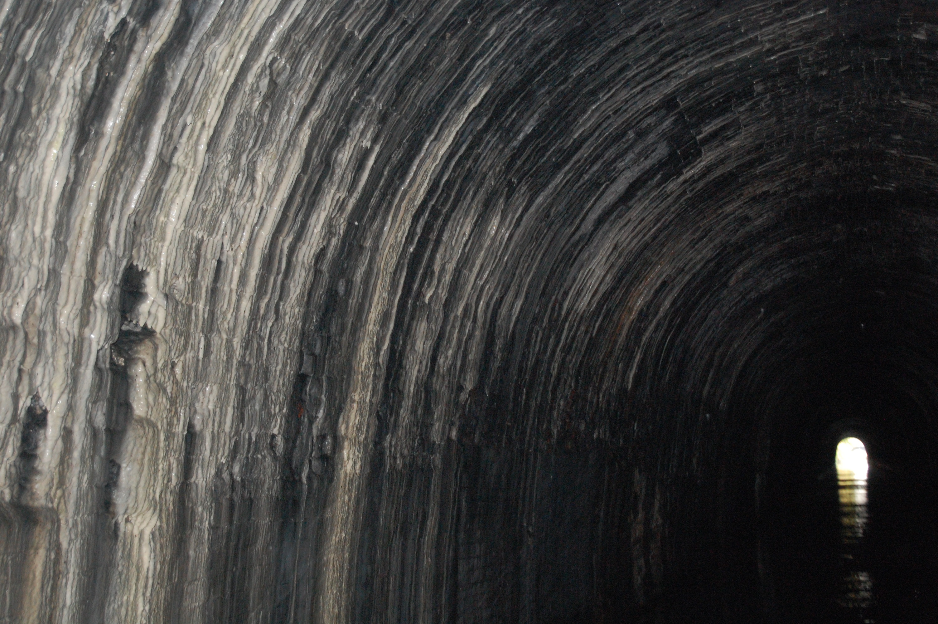
Shrewley Tunnel

Shrewley Tunnel is a canal tunnel near Shrewley, Warwickshire, England, which opened in 1799. It became part of the Grand Union Canal in 1929. == History... ==

Shrewley

Shrewley is a village and civil parish in Warwickshire, England, about 5 miles north-west of Warwick. It consists of Little Shrewley, and Shrewley Common...

Yarningale Aqueduct

Yarningale Aqueduct is one of three aqueducts on a 4 miles (6 km) length of the Stratford-upon-Avon Canal in Warwickshire. It spans the Kingswood Brook...

Ardencote Manor

Ardencote Manor is a hotel and former manor house located 0.5 miles (0.8 km) north of the village of Claverdon, Warwickshire, England. The manor was originally...

Pinley Priory

Pinley Priory, also called Pinley Abbey, was a Cistercian nunnery in the parish of Rowington in Warwickshire, England. It was founded in the early 12th...

Nearby Amenities

Located within 500m of 52.304961,-1.710749
Power: pole
Ref: 931699
Source: wpd_opendata
Transformer: distribution
Lat/Long: 52.305015/-1.7149334
Power: pole
Source: bing
Lat/Long: 52.3057604/-1.7150527
Power: pole
Source: bing
Lat/Long: 52.3066386/-1.7152217
Power: pole
Source: bing
Lat/Long: 52.3074692/-1.7160666
Operator: National Grid Electricity Distribution
Operator Wikidata: Q7988183
Power: pole
Ref: 931512
Source: wpd_opendata
Transformer: distribution
Lat/Long: 52.3063762/-1.7077544
Operator: National Grid Electricity Distribution
Operator Wikidata: Q7988183
Power: pole
Source: bing
Lat/Long: 52.3062086/-1.706537
Operator: National Grid Electricity Distribution
Operator Wikidata: Q7988183
Power: pole
Source: bing
Lat/Long: 52.3060351/-1.7052224
Operator: National Grid Electricity Distribution
Operator Wikidata: Q7988183
Power: pole
Source: bing
Lat/Long: 52.3058563/-1.7038974
The data included in this document is from www.openstreetmap.org. The data is made available under ODbL.

Have you been to Cross, High?

Leave your review of Cross, High below (or comments, questions and feedback).