Druim Dubh
Hill, Mountain in Inverness-shire
Scotland
Druim Dubh
Druim Dubh is a prominent hill located in Inverness-shire, Scotland. It is situated near the village of Newtonmore, approximately 50 miles southeast of Inverness. With an elevation of 918 meters (3,012 feet), Druim Dubh is considered a Munro, which means it is one of the 282 Scottish mountains with a height of over 3,000 feet.
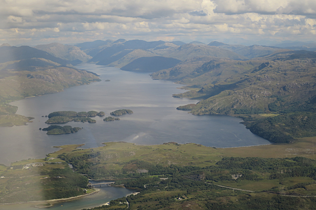
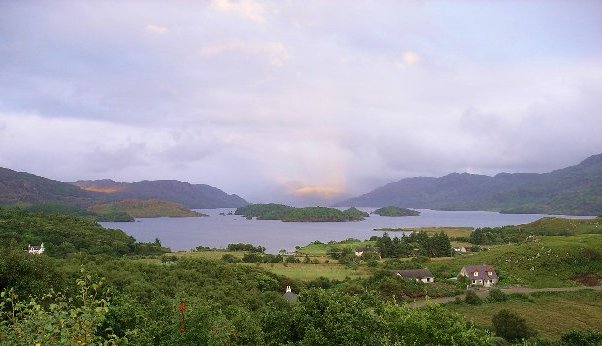
The hill is characterized by its steep and rocky slopes, covered in heather and grasses. Its summit offers breathtaking panoramic views of the surrounding Cairngorms National Park, which is renowned for its stunning natural beauty and diverse wildlife.
Druim Dubh attracts many outdoor enthusiasts, including hikers and mountaineers, who are drawn to its challenging terrain and the opportunity to experience the rugged Scottish Highlands. There are several walking routes that lead to the summit, varying in difficulty and duration, making it accessible for both experienced climbers and beginners.
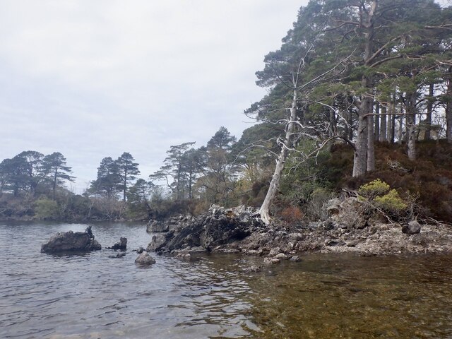
The hill is also home to a rich variety of flora and fauna, including mountain hares, red deer, and various bird species. During spring and summer, the slopes are adorned with colorful wildflowers, creating a picturesque landscape.
In addition to its natural beauty, Druim Dubh holds historical significance. The area is known to have been inhabited since prehistoric times, with evidence of ancient settlements and burial sites found in the surrounding area.
Overall, Druim Dubh offers a challenging and rewarding outdoor experience, blending stunning natural scenery, wildlife, and a touch of history, making it a popular destination for outdoor enthusiasts and nature lovers alike.
If you have any feedback on the listing, please let us know in the comments section below.
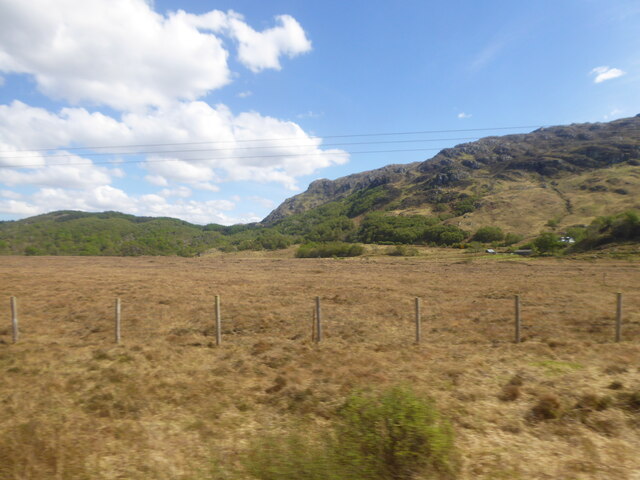
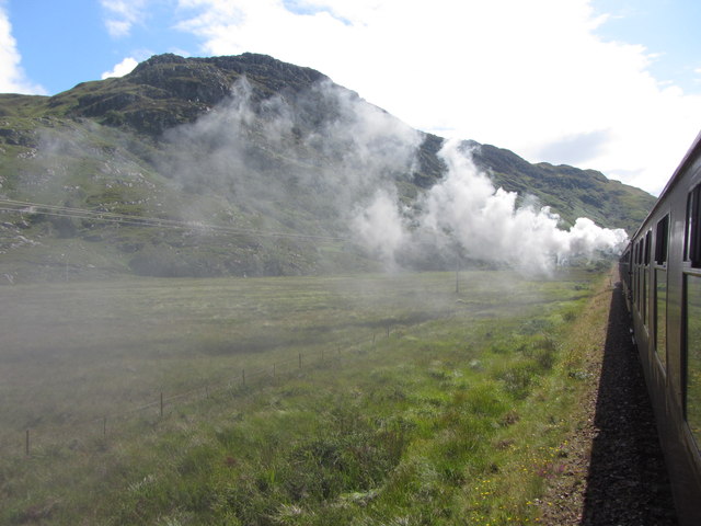
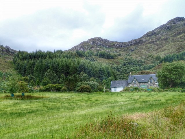
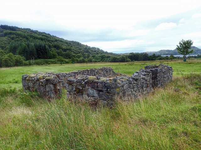
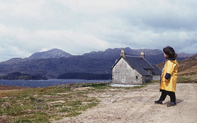
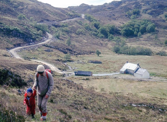
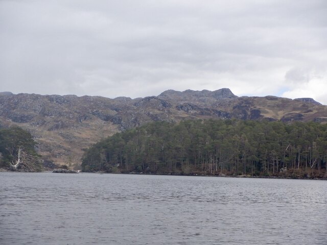
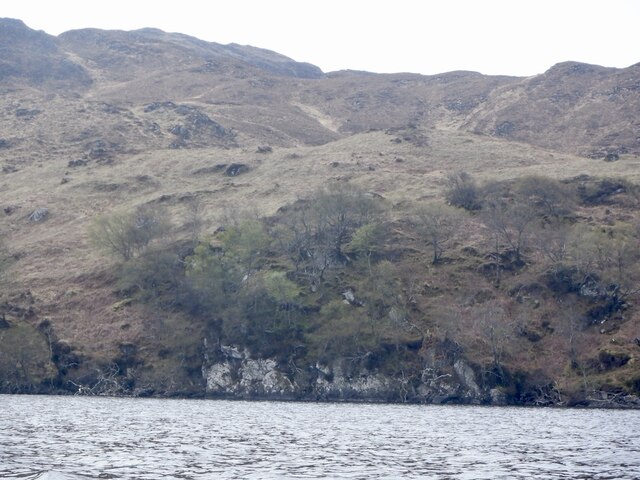
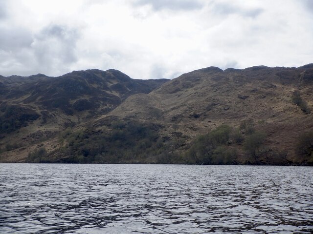
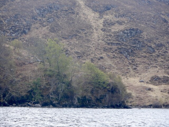
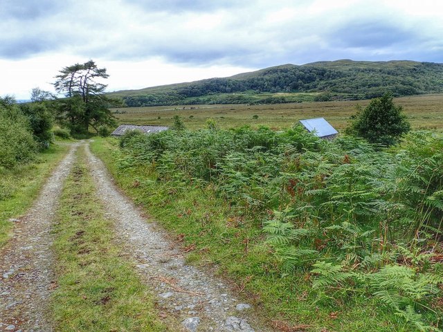
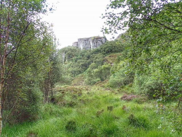
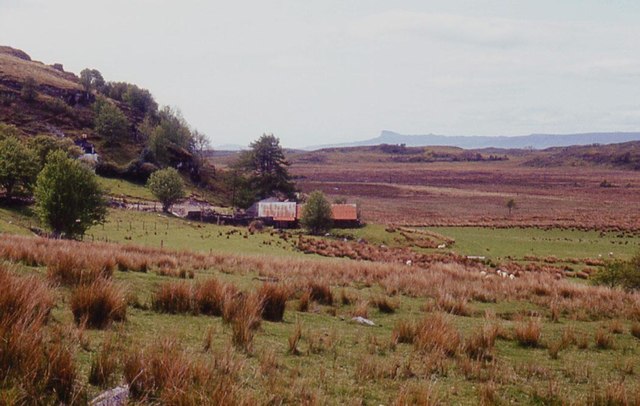
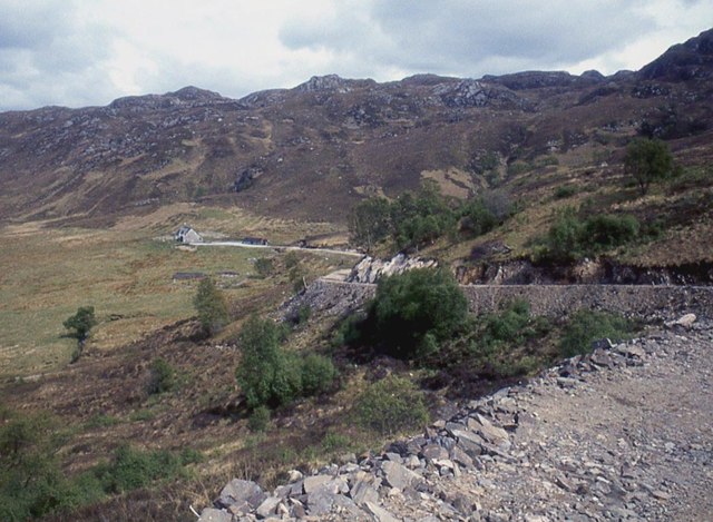
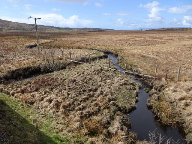
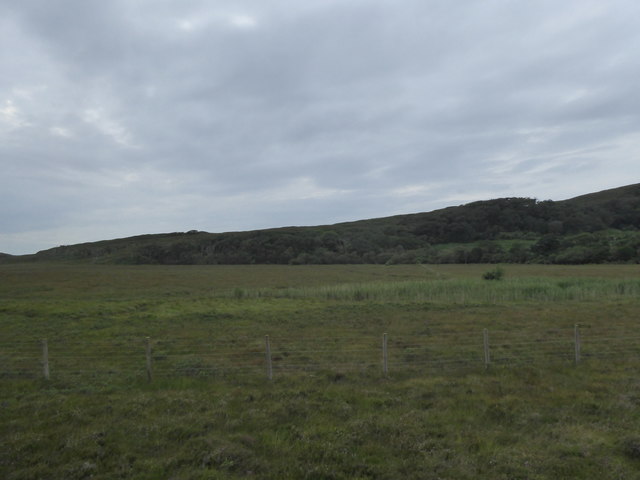
Druim Dubh Images
Images are sourced within 2km of 56.945258/-5.7948982 or Grid Reference NM6990. Thanks to Geograph Open Source API. All images are credited.
Druim Dubh is located at Grid Ref: NM6990 (Lat: 56.945258, Lng: -5.7948982)
Unitary Authority: Highland
Police Authority: Highlands and Islands
What 3 Words
///fumes.scarecrow.slowly. Near Arisaig, Highland
Nearby Locations
Related Wikis

Morar Railway Viaduct
The Morar Railway Viaduct is a railway viaduct that carries the West Highland Line over the River Morar. == History == The West Highland Railway was built...

Bracora
Bracora is a settlement in Lochaber in the Highlands of Scotland. It lies on the north shore of Loch Morar.
Battle of Morar
The Battle of Morar was a Scottish clan battle fought in 1602, near Loch Morar, in the Scottish Highlands. It was fought between the Clan MacDonell of...

Morar railway station
Morar railway station is a railway station serving the village of Morar in the Highland region of Scotland. This station is on the West Highland Line,...
Have you been to Druim Dubh?
Leave your review of Druim Dubh below (or comments, questions and feedback).