Torr Mòr

Hill, Mountain in Inverness-shire

Scotland

Torr Mòr

Track, Kentra
Track, Kentra Credit: Richard Webb

Torr Mòr is a prominent hill located in Inverness-shire, Scotland. It is situated in the western part of the county, near the village of Glenelg. With an elevation of approximately 845 meters (2,772 feet), Torr Mòr is considered a significant mountain in the region.

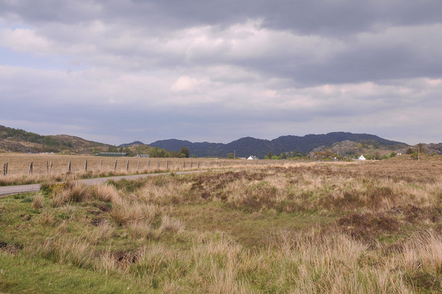
The hill is part of the Glenelg and Arnisdale Forest, which covers a vast area of approximately 19,000 hectares. The landscape surrounding Torr Mòr is characterized by a mix of rugged terrain, including steep slopes, rocky outcrops, and deep valleys. The hill itself is formed mainly of granite, lending it a distinctive appearance.

Torr Mòr offers stunning panoramic views of the surrounding area, including the nearby Isle of Skye, the Sound of Sleat, and the Knoydart Peninsula. On a clear day, one can even catch a glimpse of the famous Cuillin Mountains on Skye.

The hill is a popular destination for hikers and outdoor enthusiasts, with several well-marked trails leading to its summit. These trails vary in difficulty, catering to both experienced mountaineers and casual walkers. The ascent to Torr Mòr can be challenging, particularly in adverse weather conditions, so proper equipment and knowledge of the terrain are essential.

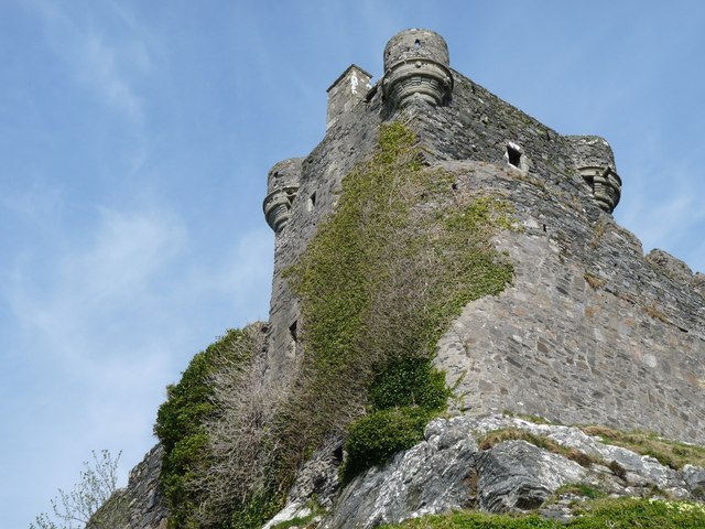
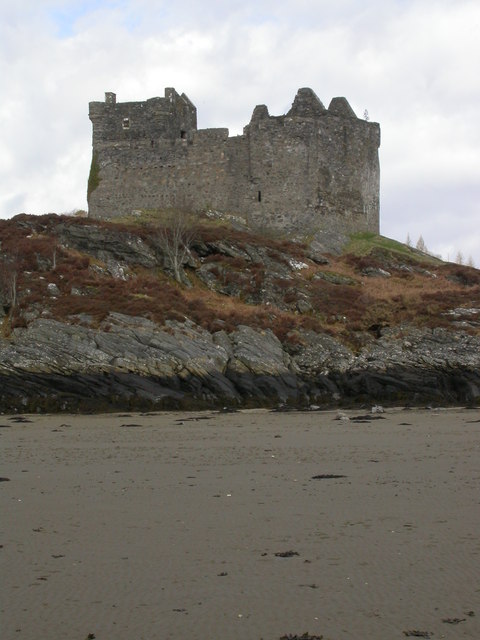
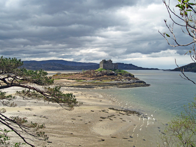
Aside from its natural beauty, Torr Mòr also holds historical significance. The area is home to ancient ruins and archaeological sites, including Iron Age forts and burial cairns, which provide a glimpse into the region's rich past.

Overall, Torr Mòr is a captivating mountain that offers a rewarding experience for nature lovers, history enthusiasts, and adventure seekers alike.

If you have any feedback on the listing, please let us know in the comments section below.
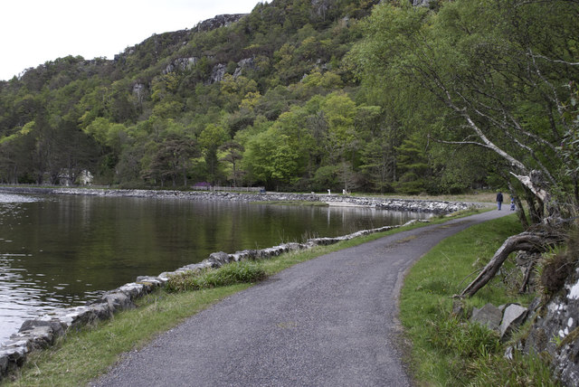
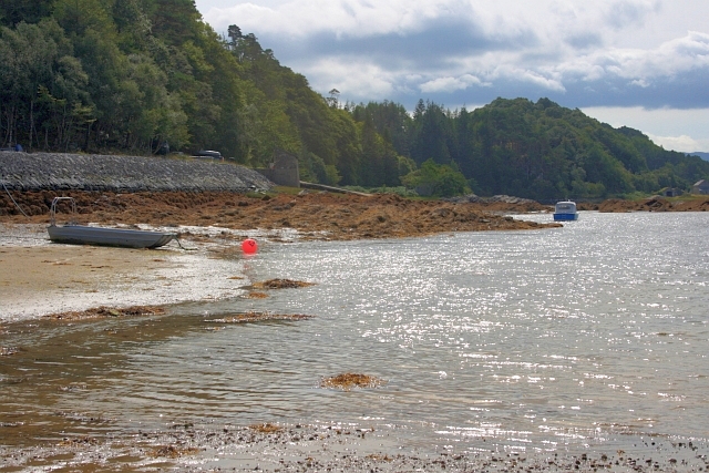
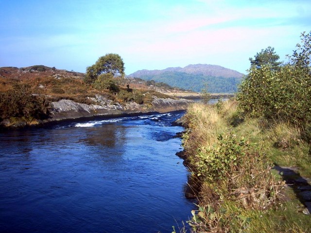
Torr Mòr Images

Images are sourced within 2km of 56.769048/-5.8265249 or Grid Reference NM6670. Thanks to Geograph Open Source API. All images are credited.

Track, Kentra
Track, Kentra
Fictitious campsite, Kentra Not allowing tents in campsites was very much a trend at the time. Even when they are allowed, the cost is usually prohibitive, one site at the time was charging £50 a night.
Fictitious campsite, Kentra
Not allowing tents in campsites was very much a trend at the time. Even when they are allowed, the cost is usually prohibitive, one site at the time was charging £50 a night.
Rivet benchmark on Old Shiel Bridge There are lots of images of Old Shiel Bridge (for example, <a href="https://www.geograph.org.uk/photo/616317">NM6769 : Old Shiel Bridge</a>). On the bridge there is an interesting plaque <a href="https://www.geograph.org.uk/photo/7232192">NM6769 : The view from Old Shiel Bridge, and a plaque</a>, <a href="https://www.geograph.org.uk/photo/7232203">NM6769 : Plaque on Old Shiel Bridge</a>, and this  benchmark <span class="nowrap"><a title="https://www.bench-marks.org.uk/bm173516" rel="nofollow ugc noopener" href="https://www.bench-marks.org.uk/bm173516">Link</a><img style="margin-left:2px;" alt="External link" title="External link - shift click to open in new window" src="https://s1.geograph.org.uk/img/external.png" width="10" height="10"/></span>.
Rivet benchmark on Old Shiel Bridge
There are lots of images of Old Shiel Bridge (for example, NM6769 : Old Shiel Bridge). On the bridge there is an interesting plaque NM6769 : The view from Old Shiel Bridge, and a plaque, NM6769 : Plaque on Old Shiel Bridge, and this benchmark LinkExternal link.
The view from Old Shiel Bridge, and a plaque There is a plaque <a href="https://www.geograph.org.uk/photo/7232203">NM6769 : Plaque on Old Shiel Bridge</a> on the south parapet of Old Shiel Bridge <a href="https://www.geograph.org.uk/photo/616317">NM6769 : Old Shiel Bridge</a>. The photo shows the view from the bridge as well.
The view from Old Shiel Bridge, and a plaque
There is a plaque NM6769 : Plaque on Old Shiel Bridge on the south parapet of Old Shiel Bridge NM6769 : Old Shiel Bridge. The photo shows the view from the bridge as well.
Plaque on Old Shiel Bridge This is the plaque shown in <a href="https://www.geograph.org.uk/photo/7232192">NM6769 : The view from Old Shiel Bridge, and a plaque</a>.
Plaque on Old Shiel Bridge
Minor road at Shielfoot
Road junction near Newton of Ardtoe
Across Kentra Moss to Newton of Ardtoe
Castle Tioram This most exposed corner which was in danger of collapse has now been saved by the owner being granted permission at long last to restore the castle to its former habitable state.
Castle Tioram
This most exposed corner which was in danger of collapse has now been saved by the owner being granted permission at long last to restore the castle to its former habitable state.
Castle Tioram
Castle Tioram
Castle Tioram from the Silver Walk At low water the beach between the island and the headland is exposed.
Castle Tioram from the Silver Walk
At low water the beach between the island and the headland is exposed.
Road by the Loch Side
Castle Tioram - High Tide
Castle Tioram - 1987 Or Castle Tiorlair on the largest scale OS maps. A view from just south of the causeway that connects the castle with the mainland when the tide is out. Behind is Eilean Shona.
Castle Tioram - 1987
Or Castle Tiorlair on the largest scale OS maps. A view from just south of the causeway that connects the castle with the mainland when the tide is out. Behind is Eilean Shona.
Eilean Shona and Castle Tioram A view northwest from near the causeway that allows access to the castle at low tide.
Eilean Shona and Castle Tioram
A view northwest from near the causeway that allows access to the castle at low tide.
Shoreline below Cnoc a'Chrochaidh
Caisteal Tioram From Riska Island The Dry Castle. Due to the fact that it can be reached by a sandy strand. not quite an island.

The castle was first recorded in 1373 and was intentionally burnt down in 1715 by Alan, the 14th chief, who was off to join the Jacobite Rebellion and had a premonition of his own death.
Caisteal Tioram From Riska Island
The Dry Castle. Due to the fact that it can be reached by a sandy strand. not quite an island. The castle was first recorded in 1373 and was intentionally burnt down in 1715 by Alan, the 14th chief, who was off to join the Jacobite Rebellion and had a premonition of his own death.
Remains of Small Building at Caisteal Tioram Containing human excrement. Not a nice sight for the many tourists exploring the castle.
Remains of Small Building at Caisteal Tioram
Containing human excrement. Not a nice sight for the many tourists exploring the castle.
Show me another place!

Torr Mòr is located at Grid Ref: NM6670 (Lat: 56.769048, Lng: -5.8265249)

Unitary Authority: Highland

Police Authority: Highlands and Islands

What 3 Words

///corrosive.clown.briefing. Near Arisaig, Highland

Related Wikis

Newton of Ardtoe

Newton of Ardtoe is a scattered crofting hamlet near Acharacle in Lochaber, Scottish Highlands and is in the council area of Highland.

River Shiel

The River Shiel (Scottish Gaelic: Abhainn Seile) is a four kilometre long river in Acharacle, Highland. It flows out of the Loch Shiel into the sea at...

Castle Tioram

Castle Tioram (; Scottish Gaelic: Caisteal Tioram, meaning "dry castle") is a ruined castle that sits on the tidal island Eilean Tioram in Loch Moidart...

Kentra

Kentra is a hamlet overlooking the east coast of Kentra Bay, on the north east end of the Ardnamurchan peninsula near Acharacle, Scottish Highlands. It...

Nearby Amenities

Located within 500m of 56.769048,-5.8265249
Power: pole
Lat/Long: 56.770027/-5.8304948
Power: pole
Lat/Long: 56.7681867/-5.8306208
Power: pole
Lat/Long: 56.7655364/-5.8302239
Power: pole
Lat/Long: 56.766314/-5.8297947
Power: pole
Lat/Long: 56.7668594/-5.8300012
Power: pole
Lat/Long: 56.7676884/-5.830307
Power: pole
Lat/Long: 56.7660788/-5.828467
Power: pole
Lat/Long: 56.7658995/-5.8275256
Power: pole
Lat/Long: 56.7656349/-5.8264741
Power: pole
Lat/Long: 56.7650116/-5.8241594
Post Box
Lat/Long: 56.7667327/-5.8313658
The data included in this document is from www.openstreetmap.org. The data is made available under ODbL.

Have you been to Torr Mòr?

Leave your review of Torr Mòr below (or comments, questions and feedback).