Ballintuim
Settlement in Perthshire
Scotland
Ballintuim

Ballintuim is a small village located in the rural area of Perthshire, Scotland. Situated approximately 12 miles north of Blairgowrie, it is surrounded by picturesque countryside and offers a tranquil setting for its residents.
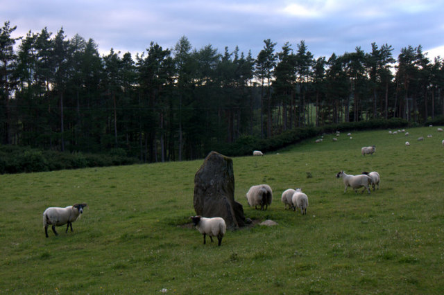
The village itself is characterized by its traditional architecture, with a scattering of stone cottages and farmhouses. It is home to a tight-knit community that values its rural lifestyle and close connection to nature. The area is known for its stunning landscapes, including rolling hills, dense woodlands, and the nearby River Ardle, which offers opportunities for fishing and leisurely walks.
Although relatively small in size, Ballintuim provides essential amenities to its residents. There is a local primary school, ensuring education is easily accessible for families, and a village hall that serves as the hub for various community activities and events. The village also benefits from a nearby pub, where locals and visitors can gather to socialize and enjoy traditional Scottish fare.
For outdoor enthusiasts, the surrounding area offers a wealth of recreational activities. The nearby Cateran Trail, a long-distance footpath, winds through Ballintuim, attracting hikers and nature lovers. Additionally, the village’s proximity to the Cairngorms National Park provides opportunities for skiing, mountaineering, and wildlife spotting.
Overall, Ballintuim is a peaceful and idyllic village nestled in the heart of Perthshire, offering a serene escape from the hustle and bustle of urban life. Its stunning natural surroundings and strong sense of community make it an attractive place to live or visit for those seeking a slower pace of life.
If you have any feedback on the listing, please let us know in the comments section below.
Ballintuim Images
Images are sourced within 2km of 56.679542/-3.467133 or Grid Reference NO1055. Thanks to Geograph Open Source API. All images are credited.


Ballintuim is located at Grid Ref: NO1055 (Lat: 56.679542, Lng: -3.467133)
Unitary Authority: Perth and Kinross
Police Authority: Tayside
What 3 Words
///others.majority.originate. Near Blairgowrie, Perth & Kinross
Nearby Locations
Related Wikis

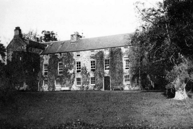
Blackcraig Castle
Blackcraig Castle is a Baronial mansion house dating from 1856 in Perthshire, Scotland, close to the towns of Ballintuim and Blairgowrie on the banks of...

Bridge of Cally
Bridge of Cally is a small village in Kirkmichael parish, Perth and Kinross, Scotland. It sits at the junction of three glens, Glenshee, Strathardle and...
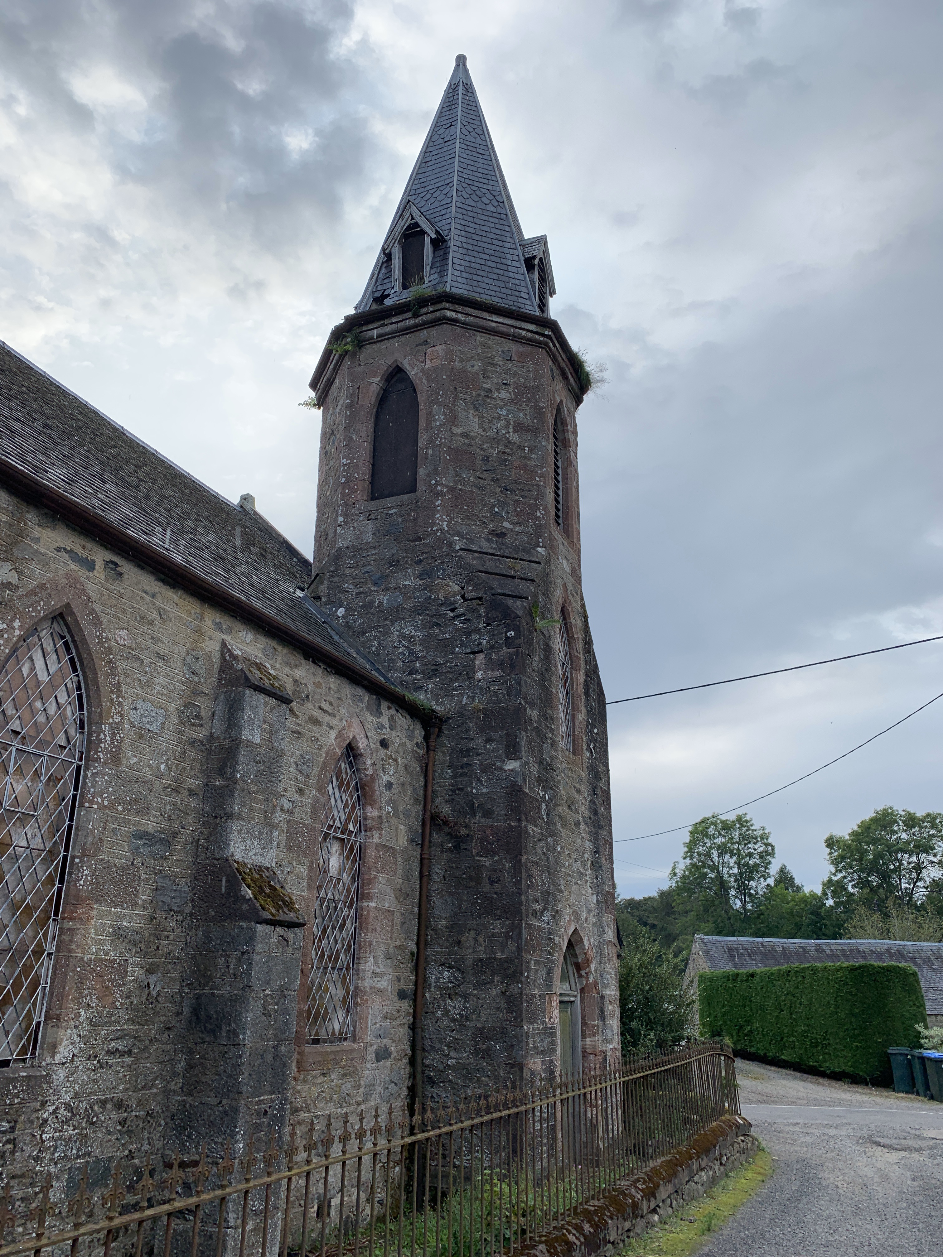
Duff Memorial Church
Duff Memorial Church is a former church building in Kirkmichael, Perth and Kinross, Scotland. It was built in 1890, replacing Kirkmichael Free Church of...

Kirkmichael Bridge
Kirkmichael Bridge is a two-segmental-arched bridge in Kirkmichael, Perth and Kinross, Scotland. A Category B listed structure built in 1840, it crosses...
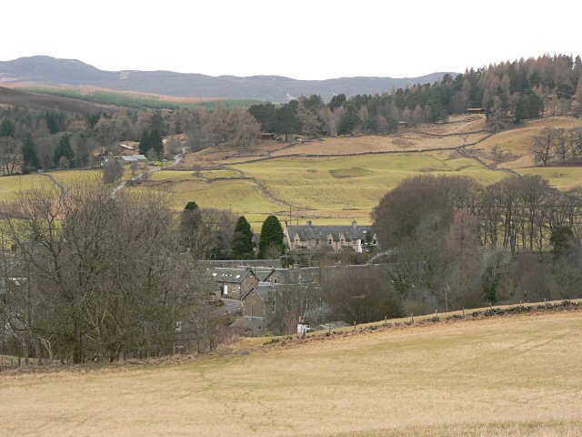
Kirkmichael, Perth and Kinross
Kirkmichael is a village located in Strathardle, Perth and Kinross, Scotland. It is 13 miles (21 kilometres) north-northwest of Blairgowrie and 12 miles...

Loch Benachally
Loch Benachally is a large shallow freshwater reservoir that is located close to the Forest of Clunie in Perth and Kinross, Scotland.The reservoir is operated...
Ashintully Castle
Ashintully Castle, located near Kirkmichael, north of Blairgowrie, in the county of Perthshire Scotland, was built in 1583 as a fortified tower house by...

Valley of Strathmore
Strathmore (Gaelic: An Srath Mòr) is a strath in east central Scotland running from northeast to southwest between the Grampian mountains and the Sidlaws...
Nearby Amenities
Located within 500m of 56.679542,-3.467133Have you been to Ballintuim?
Leave your review of Ballintuim below (or comments, questions and feedback).