Cnoc Lachlainn
Hill, Mountain in Argyllshire
Scotland
Cnoc Lachlainn

Cnoc Lachlainn, located in Argyllshire, Scotland, is a prominent hill/mountain that stands approximately 525 meters (1,722 feet) above sea level. It is situated in a picturesque area known for its natural beauty and breathtaking landscapes.
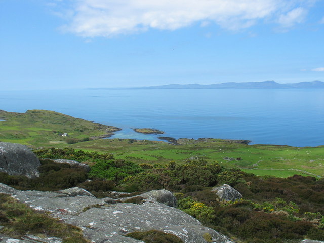
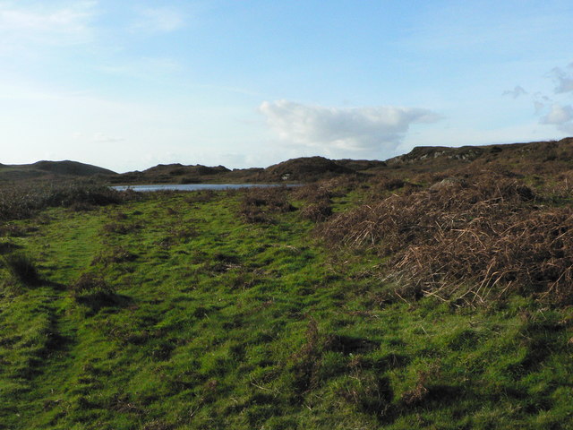
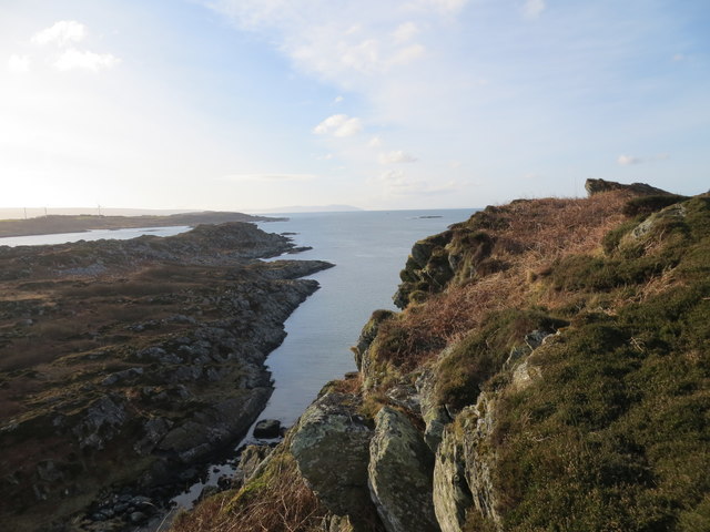
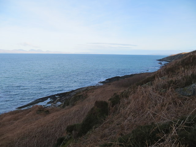
Cnoc Lachlainn offers stunning panoramic views of the surrounding countryside, including the neighboring hills, valleys, and lochs (lakes). It is part of the wider Argyll Forest Park, which is renowned for its diverse wildlife and ancient woodland. The hill/mountain is covered in heather and grass, creating a vibrant and colorful landscape, especially during the summer months.
Hikers and outdoor enthusiasts are drawn to Cnoc Lachlainn due to its accessibility and well-maintained trails. There are several routes available to reach the summit, ranging from easy to moderate difficulty levels, making it suitable for various skill levels. Along the way, visitors might encounter a variety of flora and fauna, including red deer, wild goats, and birds of prey.
At the top of Cnoc Lachlainn, visitors are rewarded with breathtaking views of the surrounding area, including the nearby Loch Fyne and the Arrochar Alps in the distance. On clear days, it is even possible to spot the Isle of Arran to the west.
Overall, Cnoc Lachlainn offers a fantastic opportunity to explore the natural beauty of Argyllshire and immerse oneself in the stunning Scottish countryside. Whether it be for a leisurely hike or to enjoy the awe-inspiring vistas, this hill/mountain is a must-visit destination for nature lovers and outdoor enthusiasts alike.
If you have any feedback on the listing, please let us know in the comments section below.
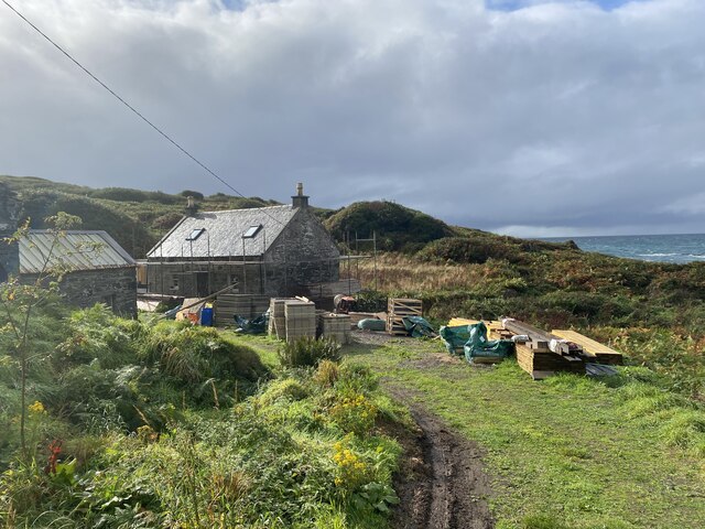
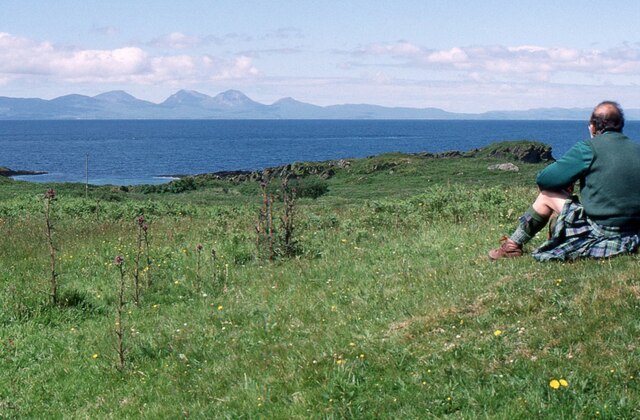
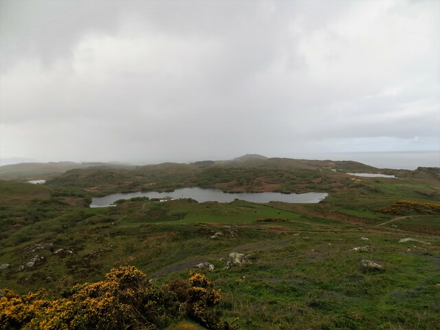
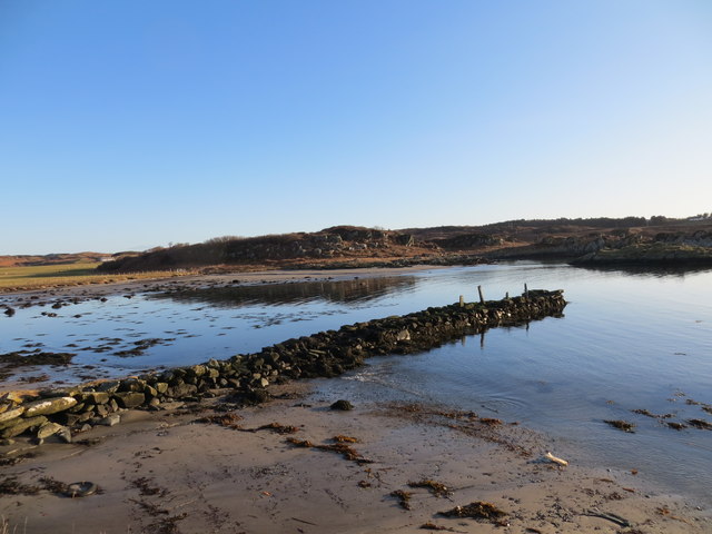
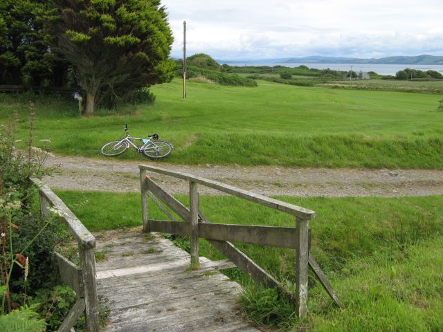
Cnoc Lachlainn Images
Images are sourced within 2km of 55.675482/-5.7612085 or Grid Reference NR6348. Thanks to Geograph Open Source API. All images are credited.


Cnoc Lachlainn is located at Grid Ref: NR6348 (Lat: 55.675482, Lng: -5.7612085)
Unitary Authority: Argyll and Bute
Police Authority: Argyll and West Dunbartonshire
What 3 Words
///endlessly.reckoned.navigate. Near Craighouse, Argyll & Bute
Related Wikis

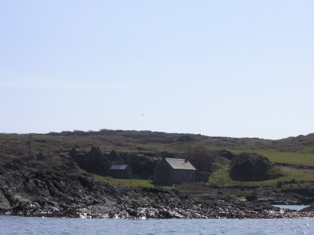
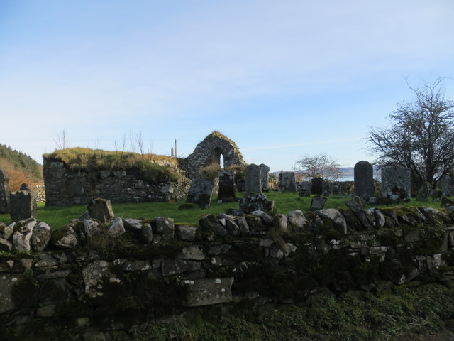
Kilchattan Chapel
Kilchattan Chapel (St Cathan's Chapel) is a ruined medieval chapel near Ardminish, Isle of Gigha, Argyll and Bute, Scotland. Built in the 13th century...

Gigha
Gigha (; Scottish Gaelic: Giogha; Scots: Gigha) or the Isle of Gigha (and formerly Gigha Island) is an island off the west coast of Kintyre in Scotland...

Achamore House
Achamore House is a mansion on the Isle of Gigha, Scotland. It was built in 1884 for Lt-Col William James Scarlett, and the extensive gardens were laid...

Ardminish
Ardminish (Scottish Gaelic: Aird Mhèanais) is the sole village on the Isle of Gigha in the Inner Hebrides, in Argyll and Bute, Scotland, and considered...
Nearby Amenities
Located within 500m of 55.675482,-5.7612085Have you been to Cnoc Lachlainn?
Leave your review of Cnoc Lachlainn below (or comments, questions and feedback).