Port nan Cudainnean
Sea, Estuary, Creek in Argyllshire
Scotland
Port nan Cudainnean
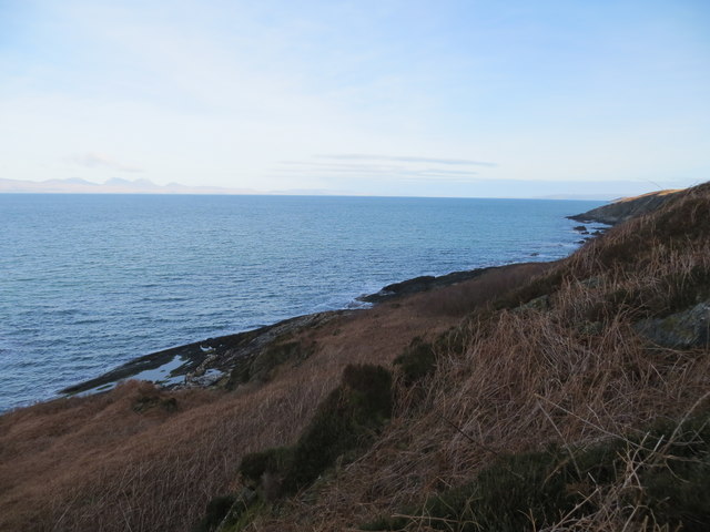
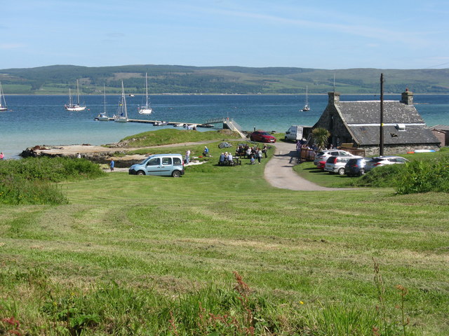
Port nan Cudainnean is a scenic coastal area located in Argyllshire, Scotland. Nestled along the western coast, it is known for its stunning sea views and picturesque landscapes. The name "Port nan Cudainnean" translates to "Port of the Creeks" in English, which aptly describes the topography of the area.
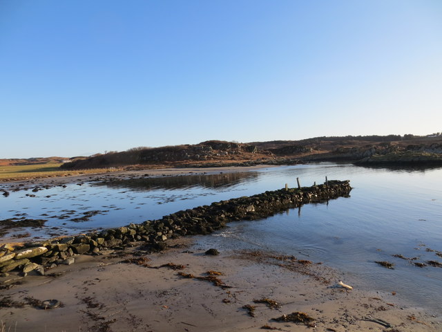
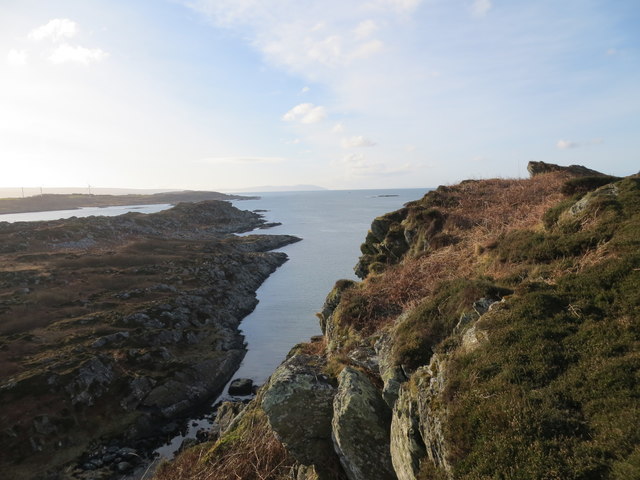
This coastal region is characterized by a series of sea inlets and small creeks, creating a unique and diverse estuarine environment. The tidal waters of the sea and estuary blend seamlessly with the surrounding countryside, making it an idyllic location for nature enthusiasts and photographers. The intertidal zone is home to a rich variety of flora and fauna, including various seabird species, seals, and otters. The area is also a popular spot for fishing and boating, with the abundance of marine life providing ample opportunities for angling enthusiasts.
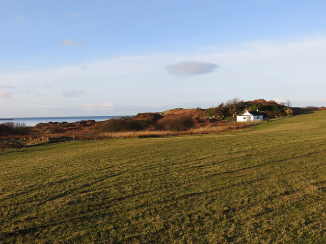
The landscape surrounding Port nan Cudainnean is dominated by rolling hills and rugged cliffs, adding to its natural beauty. The coastline offers breathtaking panoramic views of the sea and nearby islands, making it a popular destination for hikers, walkers, and those seeking a tranquil escape. The area is also steeped in history, with ancient ruins and archaeological sites dotting the landscape, providing a glimpse into the region's past.
In summary, Port nan Cudainnean is a stunning coastal area in Argyllshire, boasting a unique estuarine environment with its sea inlets and creeks. Its natural beauty, diverse wildlife, and rich history make it a must-visit destination for those seeking a peaceful and scenic retreat by the sea.
If you have any feedback on the listing, please let us know in the comments section below.
Port nan Cudainnean Images
Images are sourced within 2km of 55.668872/-5.7659193 or Grid Reference NR6348. Thanks to Geograph Open Source API. All images are credited.
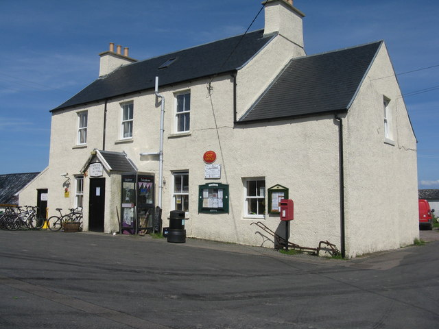
![Refuelling facilities on Gigha With a rather tropical appearance with the Cordyline palms [not really palms, but related to Asparagus] by the pumps, at the Post Office on the island.](https://s2.geograph.org.uk/geophotos/05/41/57/5415774_bef897e6.jpg)
![House at North Ardminish Built between 2005 and 2011 [deduced from Google Earth imagery].](https://s1.geograph.org.uk/geophotos/05/44/66/5446609_21ec5f23.jpg)
Port nan Cudainnean is located at Grid Ref: NR6348 (Lat: 55.668872, Lng: -5.7659193)
Unitary Authority: Argyll and Bute
Police Authority: Argyll and West Dunbartonshire
What 3 Words
///surround.listen.object. Near Craighouse, Argyll & Bute
Related Wikis

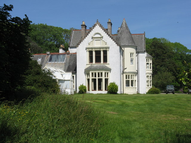
Achamore House
Achamore House is a mansion on the Isle of Gigha, Scotland. It was built in 1884 for Lt-Col William James Scarlett, and the extensive gardens were laid...

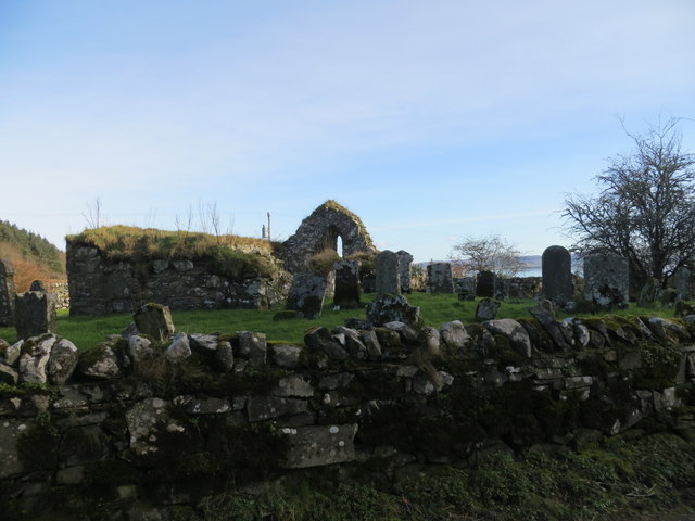
Kilchattan Chapel
Kilchattan Chapel (St Cathan's Chapel) is a ruined medieval chapel near Ardminish, Isle of Gigha, Argyll and Bute, Scotland. Built in the 13th century...

Ardminish
Ardminish (Scottish Gaelic: Aird Mhèanais) is the sole village on the Isle of Gigha in the Inner Hebrides, in Argyll and Bute, Scotland, and considered...

Gigha
Gigha (; Scottish Gaelic: Giogha; Scots: Gigha) or the Isle of Gigha (and formerly Gigha Island) is an island off the west coast of Kintyre in Scotland...
Nearby Amenities
Located within 500m of 55.668872,-5.7659193Have you been to Port nan Cudainnean?
Leave your review of Port nan Cudainnean below (or comments, questions and feedback).