A' Chruach
Hill, Mountain in Argyllshire
Scotland
A' Chruach
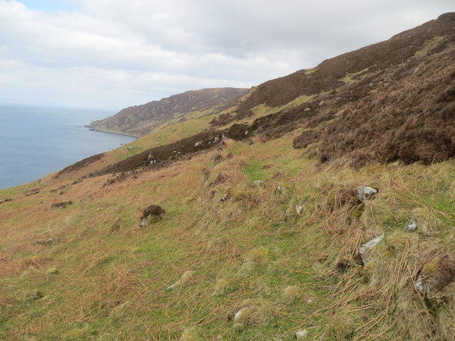
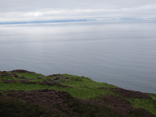
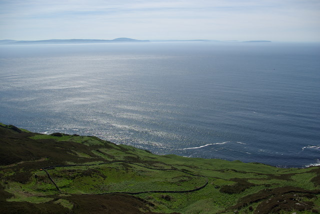
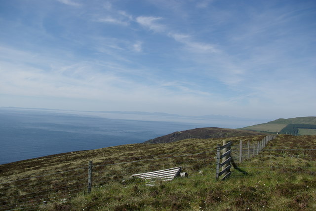
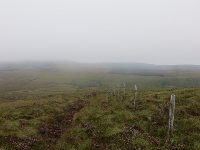
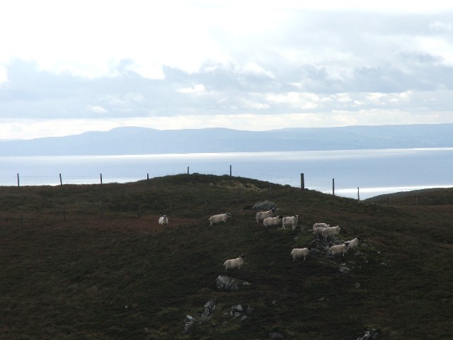
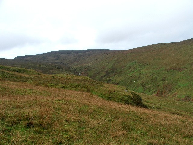
A' Chruach is a prominent hill located in the region of Argyllshire, Scotland. Standing at an impressive height of 512 meters (1,680 feet), it offers breathtaking views of the surrounding area. Situated in a remote and picturesque part of the country, A' Chruach is a popular destination for outdoor enthusiasts and nature lovers.
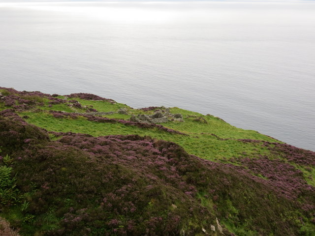
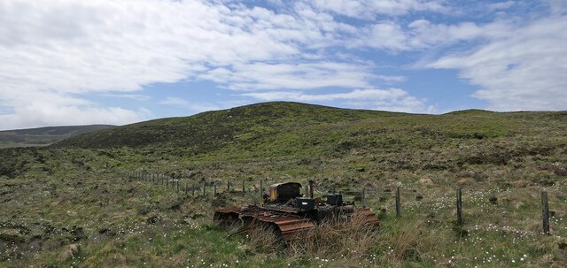
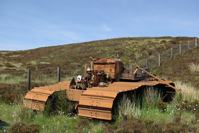
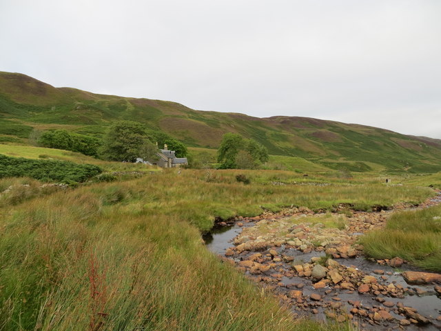
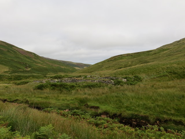
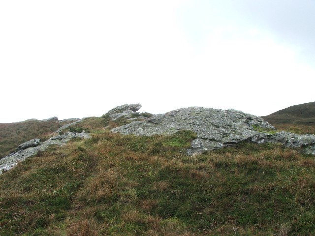
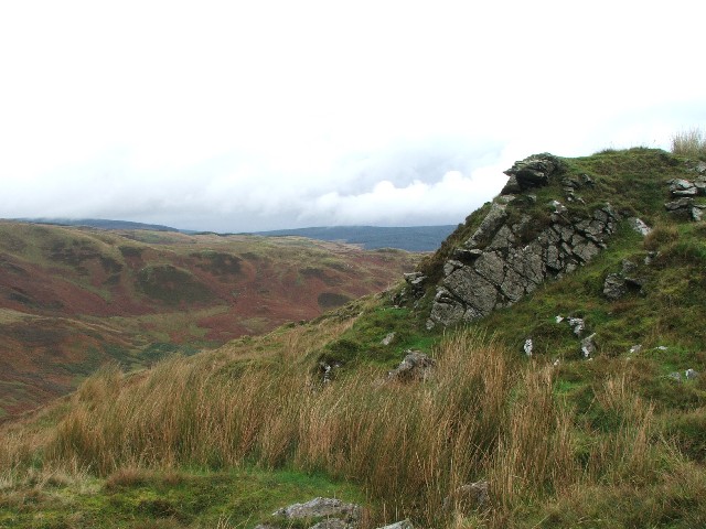
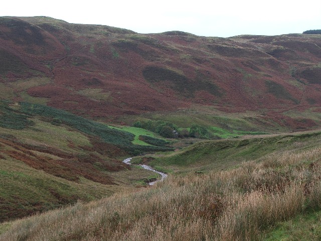
The hill is composed mainly of rocky terrain, with some areas covered in heather and grasses. Its slopes are moderately steep, making it a manageable and enjoyable climb for hikers of various skill levels. As visitors ascend A' Chruach, they are rewarded with stunning vistas of the nearby Loch Fyne and the surrounding mountains.
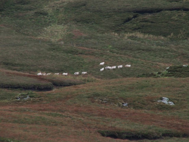
Wildlife is abundant in this area, and it is not uncommon to spot deer, foxes, and various bird species during a hike up A' Chruach. The hill is also known for its diverse flora, with vibrant wildflowers dotting the landscape in the summer months.
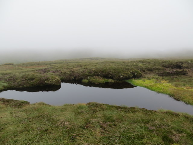
Access to A' Chruach is relatively easy, with a well-marked path leading to the summit. The hike typically takes around two to three hours to complete, depending on one's pace and level of fitness. It is advisable to bring appropriate hiking gear, including sturdy footwear and weather-appropriate clothing, as the weather conditions can change rapidly.
Whether for a challenging hike or simply to enjoy the panoramic views, A' Chruach is a must-visit destination for anyone exploring the Argyllshire region of Scotland.
If you have any feedback on the listing, please let us know in the comments section below.
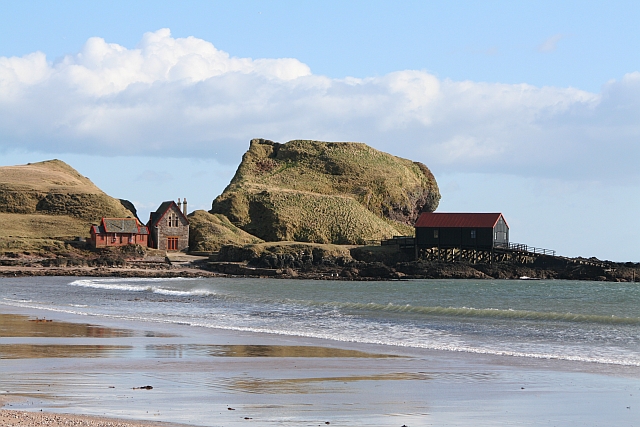
A' Chruach Images
Images are sourced within 2km of 55.333501/-5.765347 or Grid Reference NR6110. Thanks to Geograph Open Source API. All images are credited.
A' Chruach is located at Grid Ref: NR6110 (Lat: 55.333501, Lng: -5.765347)
Unitary Authority: Argyll and Bute
Police Authority: Argyll and West Dunbartonshire
What 3 Words
///roughness.month.hoops. Near Campbeltown, Argyll & Bute
Nearby Locations
Related Wikis

1994 Mull of Kintyre Chinook crash
On 2 June 1994, a Chinook helicopter of the Royal Air Force (RAF), serial number ZD576, crashed on the Mull of Kintyre, Scotland, in foggy conditions....
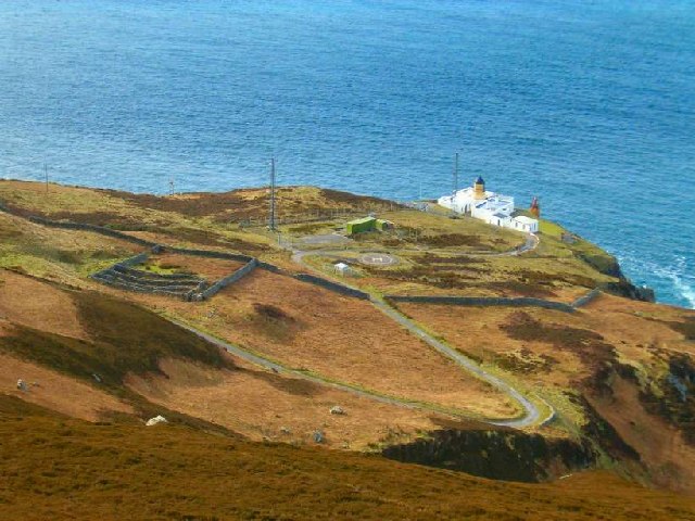
Mull of Kintyre
The Mull of Kintyre is the southwesternmost tip of the Kintyre Peninsula (formerly Cantyre) in southwest Scotland. From here, the Antrim coast of Northern...

St Columba's Chapel, Southend
St Columba's Chapel (Kilcomkill) is a ruined medieval chapel near Southend, Argyll and Bute, Scotland. It is noted for its carved grave slabs. == References ==
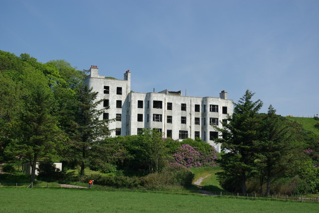
Keil Hotel
Keil Hotel is a former hotel near Southend, Kintyre in western Scotland. == History and architecture == It was constructed between 1937 and 1939 for Captain...
Southend, Argyll
Southend (Scottish Gaelic: Ceann mu Dheas, pronounced [ˈkʲʰaun̪ˠ mə ˈʝes̪]) is the main settlement at the southern end of the Kintyre peninsula in Argyll...
Battle of Dunaverty
The Battle of Dunaverty involved a battle and the siege of Dunaverty Castle in Kintyre, Scotland, in 1647. The events involved the Covenanter Army under...
Dunaverty Castle
Dunaverty Castle is located at Southend at the southern end of the Kintyre peninsula in western Scotland. The site was once a fort belonging to the Clan...

Killellan House
Killellan House was a mansion house at Conie Glen, Kintyre, Scotland. Gutted by fire, the house was demolished in the 1960s, however the entrance lodge...
Nearby Amenities
Located within 500m of 55.333501,-5.765347Have you been to A' Chruach?
Leave your review of A' Chruach below (or comments, questions and feedback).