Sròn Daraich
Hill, Mountain in Inverness-shire
Scotland
Sròn Daraich

Sròn Daraich is a prominent hill located in the Inverness-shire region of Scotland. Situated in the western part of the county, it is part of the larger Scottish Highlands and offers stunning views of the surrounding landscape.
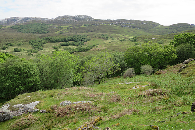
Rising to a height of approximately 475 meters (1,558 feet), Sròn Daraich is known for its distinctive shape, with a long and gently sloping ridge leading up to its summit. The hill is composed mainly of rocky terrain and heather-covered moorland, creating a picturesque and rugged appearance.
The ascent of Sròn Daraich can be undertaken from various starting points, with the most popular being from the nearby village of Invermoriston. The route is relatively straightforward, following a well-marked trail that winds through a mixture of woodland and open countryside. As hikers make their way up the hill, they are rewarded with breathtaking views of Loch Ness and the surrounding Glenmoriston area.
Due to its accessibility and relatively moderate height, Sròn Daraich is a popular destination for outdoor enthusiasts of all abilities. The hill provides an excellent opportunity for walking, hiking, and nature appreciation, allowing visitors to immerse themselves in the beauty of the Scottish Highlands.
Overall, Sròn Daraich is a notable hill in Inverness-shire that offers stunning vistas, a diverse landscape, and a range of outdoor activities for visitors to enjoy. Whether it be for a leisurely stroll or a more challenging hike, this hill provides a memorable experience in the heart of Scotland's natural beauty.
If you have any feedback on the listing, please let us know in the comments section below.
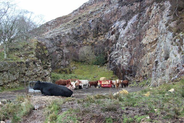
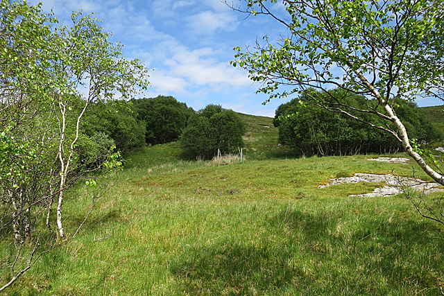
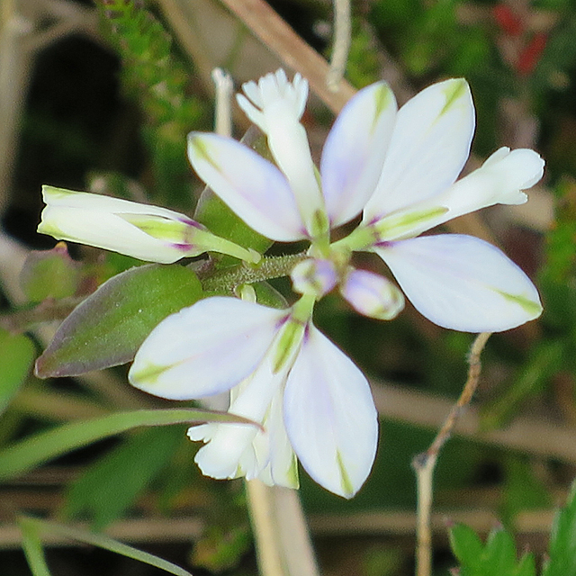
Sròn Daraich Images
Images are sourced within 2km of 57.140534/-5.9480625 or Grid Reference NG6112. Thanks to Geograph Open Source API. All images are credited.


Sròn Daraich is located at Grid Ref: NG6112 (Lat: 57.140534, Lng: -5.9480625)
Unitary Authority: Highland
Police Authority: Highlands and Islands
What 3 Words
///abandons.skirting.taskbar. Near Elgol, Highland
Nearby Locations
Related Wikis
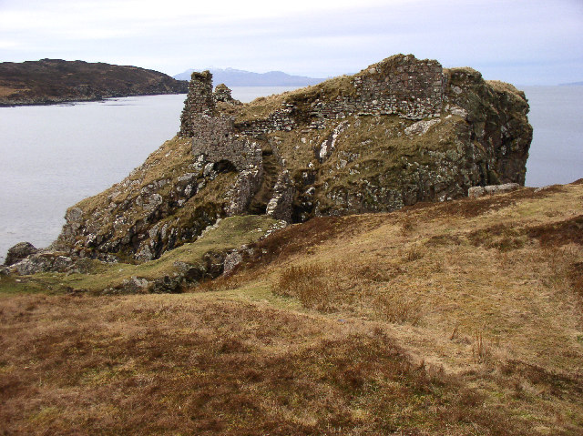
Dunscaith Castle
Dunscaith Castle also known as Dun Scaich, Dun Sgathaich Castle and Tokavaig, is a ruined castle on the coast of the Isle of Skye, in the north-west of...
Sleat
Sleat is a peninsula and civil parish on the island of Skye in the Highland council area of Scotland, known as "the garden of Skye". It is the home of...

Tarskavaig
Tarskavaig (Tarsgabhaig in Scottish Gaelic) is a crofting village on the west coast of Sleat on the Isle of Skye in Scotland. It sits in a glen which meets...
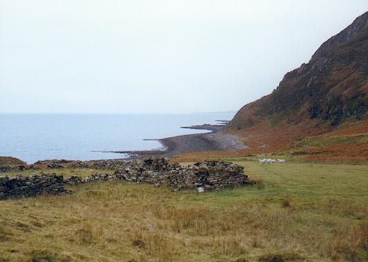
Boreraig
Boreraig (Scottish Gaelic: Boraraig) is a deserted township in Strath Swordale (Srath Shuardail) on the north shore of Loch Eishort (Loch Eiseort) in the...
Nearby Amenities
Located within 500m of 57.140534,-5.9480625Have you been to Sròn Daraich?
Leave your review of Sròn Daraich below (or comments, questions and feedback).