Cnoc an Arbhair

Hill, Mountain in Argyllshire

Scotland

Cnoc an Arbhair

Road, Glen Forsa Quite busy today with construction work and logging taking place.
Road, Glen Forsa Credit: Richard Webb

The requested URL returned error: 429 Too Many Requests

If you have any feedback on the listing, please let us know in the comments section below.

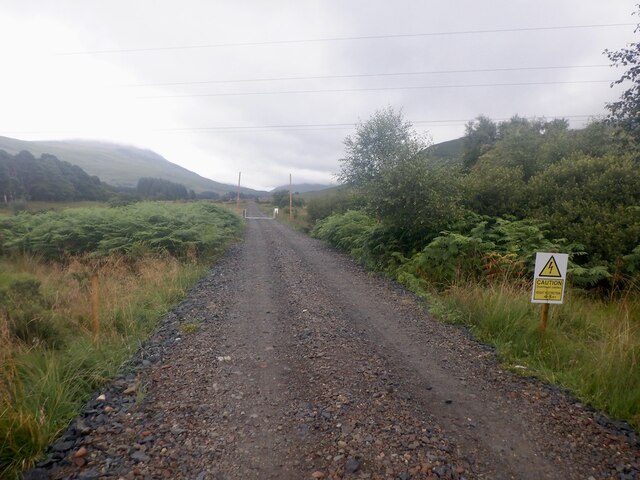
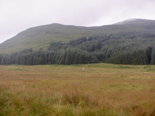
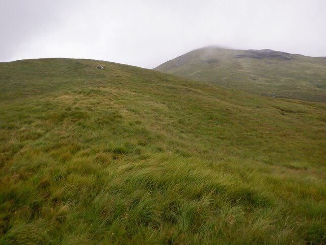
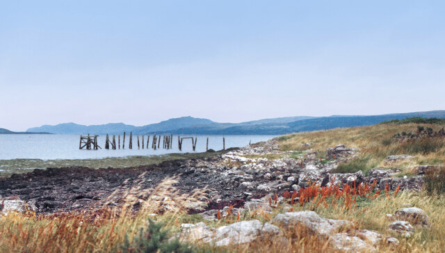
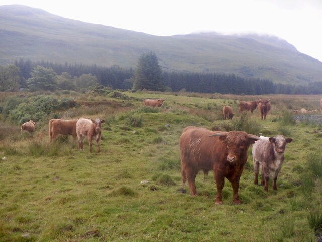
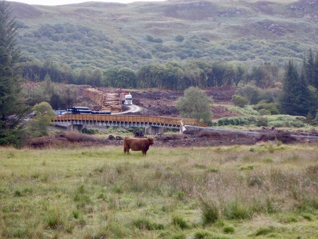
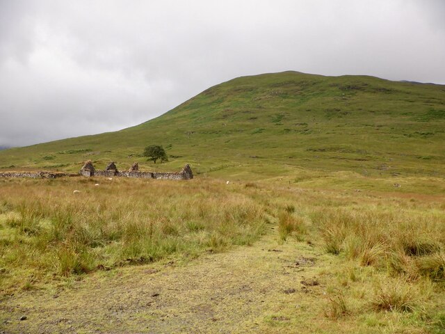
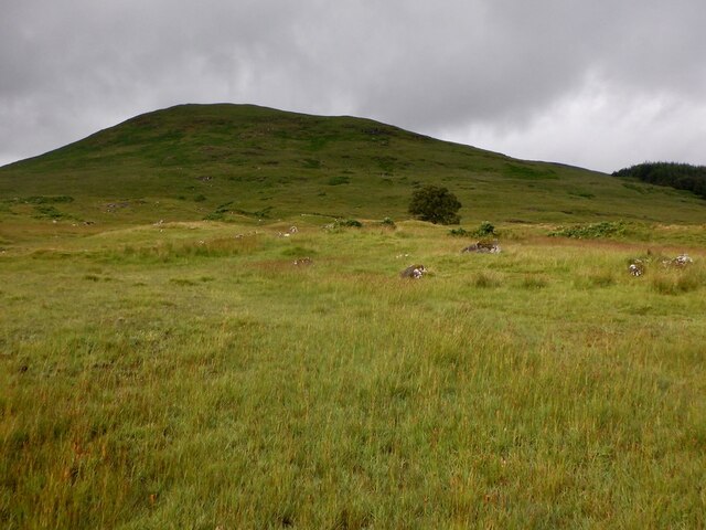
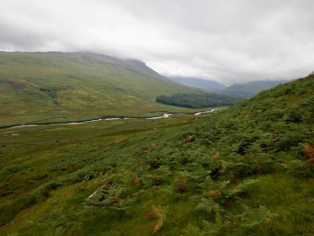
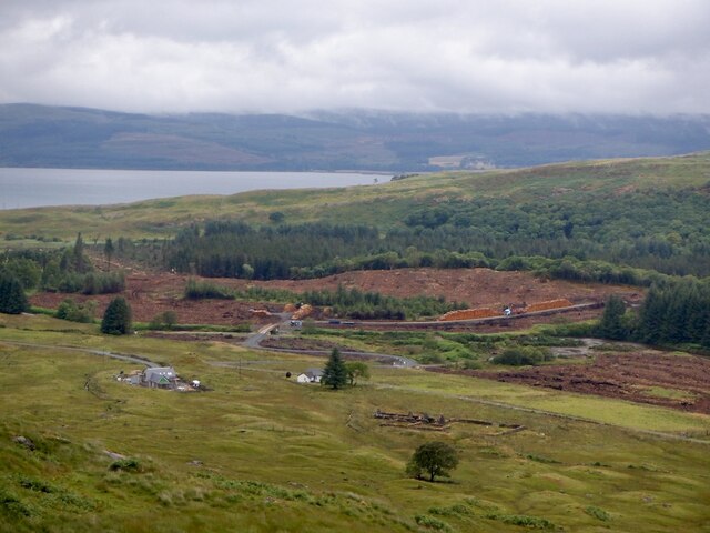
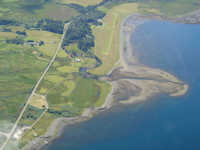
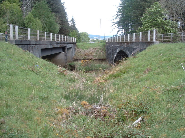
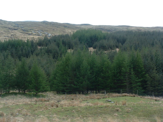
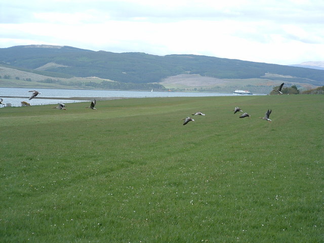
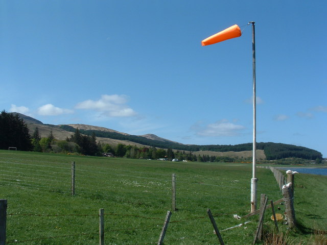
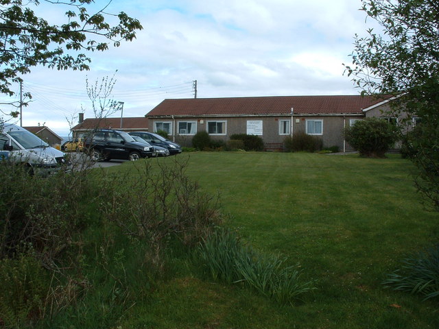
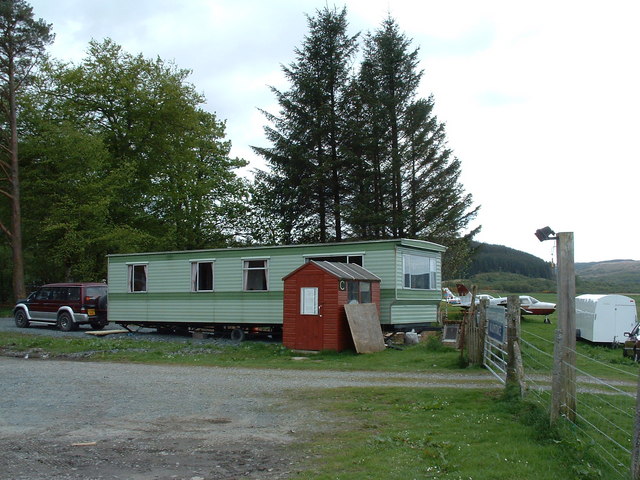
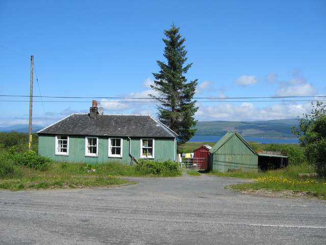
Cnoc an Arbhair Images

Images are sourced within 2km of 56.513313/-5.9170831 or Grid Reference NM5942. Thanks to Geograph Open Source API. All images are credited.

Road, Glen Forsa Quite busy today with construction work and logging taking place.
Road, Glen Forsa
Quite busy today with construction work and logging taking place.
Woodland, Glen Forsa View towards Beinn nan Lus.
Woodland, Glen Forsa
View towards Beinn nan Lus.
Beinn nan Lus Easier going higher on the hill, above all the deep grass and tussocks lower down.
Beinn nan Lus
Easier going higher on the hill, above all the deep grass and tussocks lower down.
Old Pier at Salen An old picture from the 1980s showing a few bits more structure than in more recent shots.
Old Pier at Salen
An old picture from the 1980s showing a few bits more structure than in more recent shots.
Cattle, Glen Forsa The bull is very young.  Unlike my last visit, the cows were all very well mannered.
Cattle, Glen Forsa
The bull is very young. Unlike my last visit, the cows were all very well mannered.
New forestry road and bridge, Glen Forsa There was also some construction work in progress further up the glen, as a cement mixer went up later in the morning.
New forestry road and bridge, Glen Forsa
There was also some construction work in progress further up the glen, as a cement mixer went up later in the morning.
Ruins, Killbeg Beneath Beinn nan Lus.
Ruins, Killbeg
Beneath Beinn nan Lus.
Beinn nan Lus, Glen Forsa
Glen Forsa A cement mixer had just gone up the glen. View from an ascent of Beinn nan Lus.
Glen Forsa
A cement mixer had just gone up the glen. View from an ascent of Beinn nan Lus.
Killbeg and forestry A new house is being built at Killbeg and there is now a forestry road across the Forsa.
Killbeg and forestry
A new house is being built at Killbeg and there is now a forestry road across the Forsa.
Glenforsa Airfield
Glenforsa Airfield
Dual carriageway The old road bridge on the left has been supplemented by the new bridge when the road was upgraded to 2 lane.
Dual carriageway
The old road bridge on the left has been supplemented by the new bridge when the road was upgraded to 2 lane.
Forested hillside
Forested hillside
Gooseflight 10 taking off from Glenforsa
Glenforsa Airfield View of the runway from the east end, the terminal"!" is centre screen. 
Note the dead sheep skulls on the fenceposts, presumably they bring good luck, to pilots but not sheep.
Glenforsa Airfield
View of the runway from the east end, the terminal"!" is centre screen. Note the dead sheep skulls on the fenceposts, presumably they bring good luck, to pilots but not sheep.
Hospital at Salen As far as I am aware, the building in the photo is the only NHS hospital for Mull, housing the casualty, out patients and x-ray departments for all of the island. It is also an old people's home.
Hospital at Salen
As far as I am aware, the building in the photo is the only NHS hospital for Mull, housing the casualty, out patients and x-ray departments for all of the island. It is also an old people's home.
Glenforsa airfield Flight control and the waiting room at the grass runway airfield.
Glenforsa airfield
Flight control and the waiting room at the grass runway airfield.
Old House near Salen
Show me another place!

Cnoc an Arbhair is located at Grid Ref: NM5942 (Lat: 56.513313, Lng: -5.9170831)

Unitary Authority: Argyll and Bute

Police Authority: Argyll and West Dunbartonshire

What 3 Words

///mend.dawn.shelved. Near Salen, Argyll & Bute

Related Wikis

Great Mull Air Mystery

The Great Mull Air Mystery is the name given by the media to the disappearance of pilot Peter Gibbs on 24 December 1975 after he took an unscheduled solo...

Salen, Mull

Salen (Scottish Gaelic: An t-Sàilean) is a settlement on the Isle of Mull, Scotland. It is on the east coast of the island, on the Sound of Mull, approximately...

Sound of Mull

The Sound of Mull is a sound between the Inner Hebridean island of Mull and mainland Scotland. It forms part of the Atlantic Ocean. The Sound of Mull Project...

SS Rondo

SS Rondo was a steam cargo ship. She was built by Tampa Shipbuilding & Drydock Company of Florida for the British government under the name War Wonder...

Nearby Amenities

Located within 500m of 56.513313,-5.9170831
Source: PGS
Lat/Long: 56.51695/-5.9217991
Source: PGS
Lat/Long: 56.5167704/-5.9215041
Source: PGS
Lat/Long: 56.5165965/-5.920965
Source: PGS
Lat/Long: 56.5165078/-5.9203407
Source: PGS
Lat/Long: 56.5165694/-5.9193746
Source: PGS
Lat/Long: 56.5166857/-5.9183168
Source: PGS
Lat/Long: 56.5170764/-5.9164317
Source: PGS
Lat/Long: 56.5173763/-5.9152122
Source: PGS
Lat/Long: 56.5174908/-5.914978
Glenforsa Hotel
Tourism: hotel
Lat/Long: 56.5159092/-5.9129591
Glenforsa Airfield
Aerodrome Type: private
Aeroway: aerodrome
Ele: 4.6
Iata: ULL
Ifr: no
Name En: Glenforsa Airfield
Old Icao: EGZU
Operator: Glenforsa Hotel
Website: http://www.glenforsaairfield.com/
Lat/Long: 56.516706/-5.9137027
Aeroway: threshold
Ref: 08
Lat/Long: 56.5158245/-5.9189763
Tigh an Solas
Tourism: guest_house
Lat/Long: 56.5155516/-5.9162971
Place: farm
Lat/Long: 56.5097204/-5.915484
Barrier: kissing_gate
Foot: designated
Lat/Long: 56.51657/-5.9133675
Power: pole
Lat/Long: 56.5133943/-5.9242889
Power: pole
Lat/Long: 56.5120727/-5.9162128
Power: pole
Lat/Long: 56.511901/-5.9159741
Power: pole
Lat/Long: 56.5120224/-5.9168485
Power: pole
Lat/Long: 56.5122577/-5.9180152
Power: pole
Lat/Long: 56.5124915/-5.9193885
Power: pole
Lat/Long: 56.5127964/-5.9209657
Power: pole
Lat/Long: 56.5130421/-5.9223765
Power: pole
Lat/Long: 56.5125596/-5.9184551
Power: pole
Lat/Long: 56.5127905/-5.9194368
Power: pole
Lat/Long: 56.5130539/-5.9208477
Power: pole
Lat/Long: 56.5133173/-5.9221566
Power: pole
Lat/Long: 56.5122577/-5.9141958
Power: pole
Lat/Long: 56.5121393/-5.9139919
Power: pole
Lat/Long: 56.512382/-5.9129244
Power: pole
Lat/Long: 56.5129266/-5.9102851
Power: pole
Lat/Long: 56.5131723/-5.9090889
Power: pole
Lat/Long: 56.5125803/-5.9126133
Power: pole
Lat/Long: 56.5129474/-5.9108216
Power: pole
Lat/Long: 56.5132848/-5.9091854
Power: pole
Lat/Long: 56.5131047/-5.9248359
Power: pole
Lat/Long: 56.512453/-5.9223036
Power: pole
Lat/Long: 56.5121445/-5.9210567
Power: pole
Lat/Long: 56.5118391/-5.9197673
Power: pole
Lat/Long: 56.5116909/-5.9176626
Power: pole
Lat/Long: 56.5116213/-5.9166321
Power: pole
Lat/Long: 56.5110543/-5.9159744
Power: pole
Lat/Long: 56.5107806/-5.9149385
Power: pole
Lat/Long: 56.5104993/-5.9138916
Power: pole
Lat/Long: 56.510215/-5.9128886
Power: pole
Lat/Long: 56.5099368/-5.9118636
Power: pole
Lat/Long: 56.5135927/-5.9239544
Give Way
Direction: backward
Lat/Long: 56.5146589/-5.915563
The data included in this document is from www.openstreetmap.org. The data is made available under ODbL.

Have you been to Cnoc an Arbhair?

Leave your review of Cnoc an Arbhair below (or comments, questions and feedback).