Am Meall
Hill, Mountain in Inverness-shire
Scotland
Am Meall

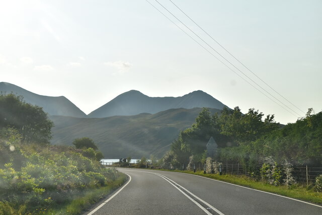
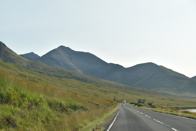
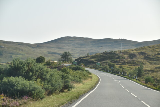
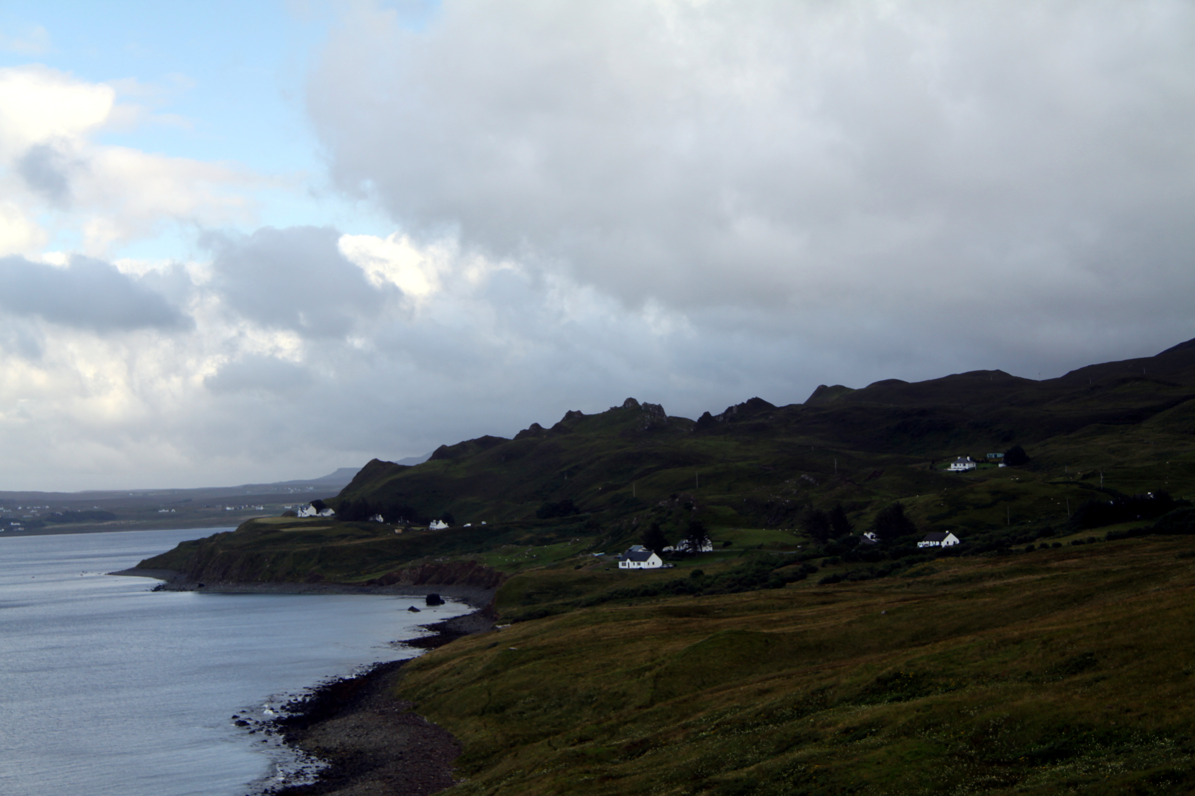
Am Meall is a prominent hill located in Inverness-shire, Scotland. With an elevation of 859 meters (2,818 feet), it stands as a notable landmark in the area, offering breathtaking panoramic views of the surrounding landscape. The hill is part of the Monadhliath mountain range and is a popular destination for outdoor enthusiasts, hikers, and nature lovers.
Am Meall is characterized by its rugged terrain, covered in heather and grasses, providing a picturesque setting for those venturing up its slopes. The hill is known for its challenging but rewarding ascent, offering a sense of accomplishment to those who reach its summit. The climb typically takes around 2-3 hours, depending on the route chosen and the fitness level of the individual.
From the top of Am Meall, visitors are treated to stunning vistas of the surrounding peaks, glens, and lochs. On clear days, it is possible to see as far as the Cairngorms National Park and the Great Glen. The hill's location also makes it an ideal spot for birdwatching, with various species of birds, including golden eagles and peregrine falcons, frequently spotted in the area.
In addition to its natural beauty, Am Meall holds historical significance. The hill was once used as a site for ancient burial cairns and provides a glimpse into the region's rich cultural heritage.
Overall, Am Meall offers a rewarding and memorable experience for those seeking to explore the Scottish Highlands, providing both physical challenges and breathtaking views of the surrounding landscape.
If you have any feedback on the listing, please let us know in the comments section below.
Am Meall Images
Images are sourced within 2km of 57.278479/-6.028069 or Grid Reference NG5728. Thanks to Geograph Open Source API. All images are credited.


Am Meall is located at Grid Ref: NG5728 (Lat: 57.278479, Lng: -6.028069)
Unitary Authority: Highland
Police Authority: Highlands and Islands
What 3 Words
///gladiator.keep.flush. Near Broadford, Highland
Nearby Locations
Related Wikis

Luib, Skye
Luib (Scottish Gaelic: Lùib) is a crofting and fishing settlement on the south east shore of the sea loch, Loch Ainort near Broadford, on the island of...
Dunan, Skye
Dunan (Scottish Gaelic: An Dùnan) is a settlement on the south shore of the sea loch, Loch na Cairidh near Broadford, on the island of Skye in Scotland...

Eas a' Bhradain
Eas a' Bhradain is a waterfall of Scotland.It is located between Marsco and Loch Ainort on the Allt Coire nam Bruadaran of the island of Skye at grid reference...

Scalpay, Inner Hebrides
Scalpay (; Scottish Gaelic: Sgalpaigh) is an inhabited island in the Inner Hebrides of Scotland which has a population of 4. == Geology == The bedrock...

Belig
Belig (702 m), is a mountain in the Cuillin mountains of the Isle of Skye. It is located in the centre of the island, northeast of the main Black Cuillin...

Beinn Dearg Mhor (Sligachan)
Beinn Dearg Mhor (731 m), is a mountain in the Red Cuillin mountains of the Isle of Skye. It is located between Loch Ainort and the settlement of Sligachan...

Beinn na Caillich (Red Hills)
Beinn na Caillich (Scottish Gaelic for 'mountain of the old woman or Cailleach') is a mountain with a height of 732 metres (2,402 ft), west of Broadford...

Glamaig
Glamaig (Scottish Gaelic: Glàmaig) is the northernmost of the Red Hills on the Isle of Skye in Scotland. It lies immediately east of Sligachan. It is one...
Nearby Amenities
Located within 500m of 57.278479,-6.028069Have you been to Am Meall?
Leave your review of Am Meall below (or comments, questions and feedback).