An Cruachan
Hill, Mountain in Argyllshire
Scotland
An Cruachan
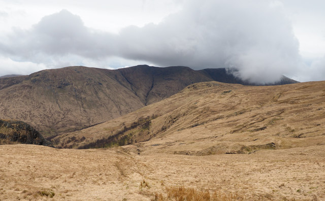
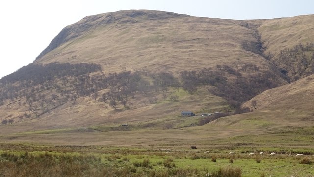
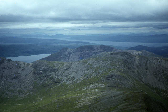
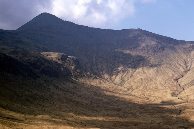
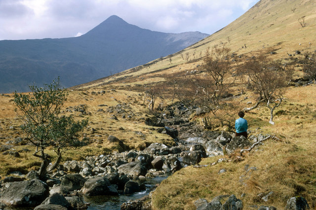
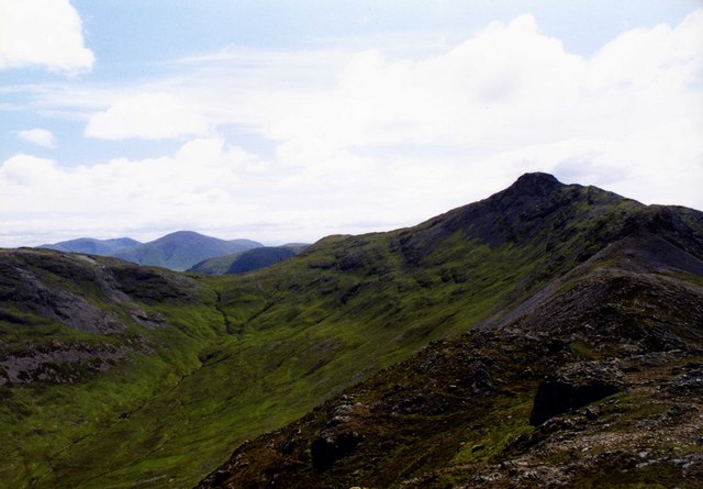
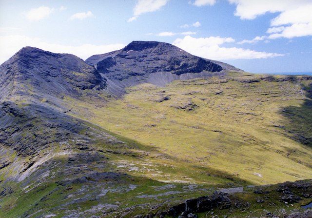
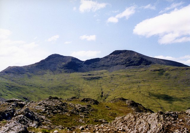
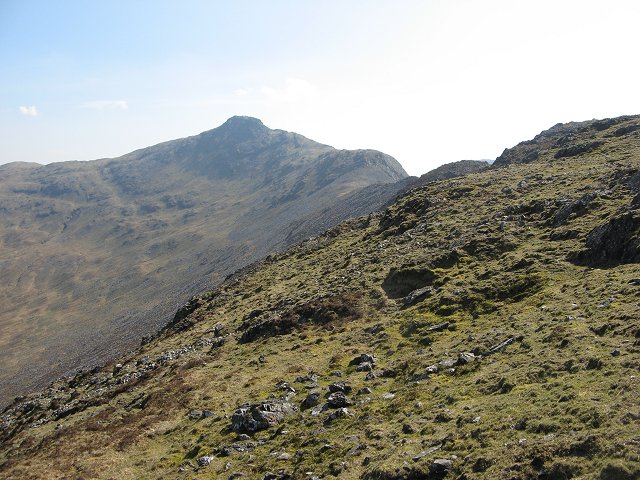
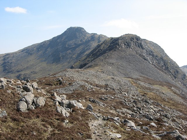
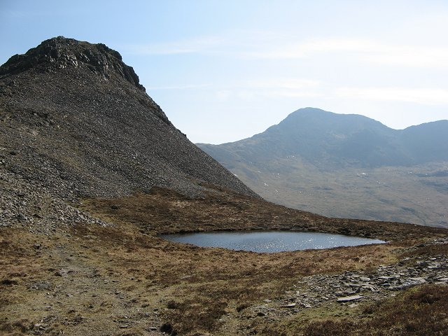
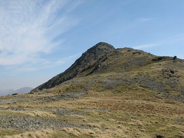
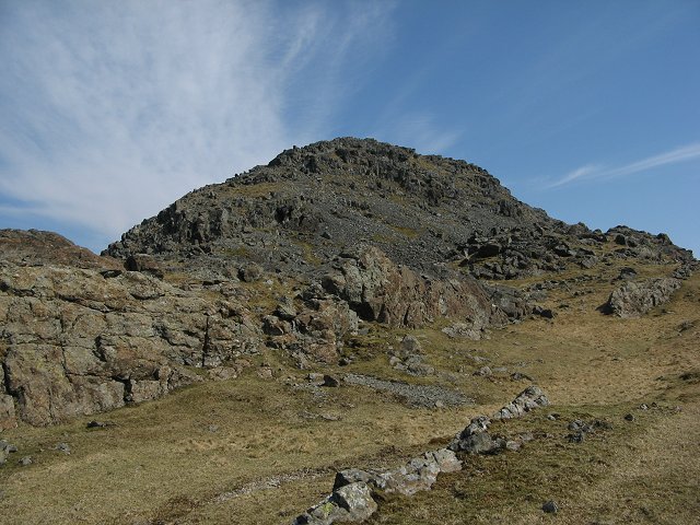
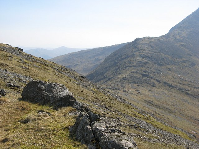
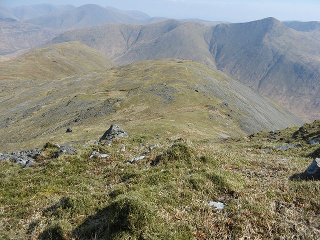
An Cruachan is a prominent hill/mountain located in Argyllshire, Scotland. It is situated in the Loch Awe area, near the village of Dalmally. The hill stands at an impressive height of 1126 meters (3694 feet) and is part of the Cruachan Horseshoe ridge, which offers stunning panoramic views of the surrounding landscape.
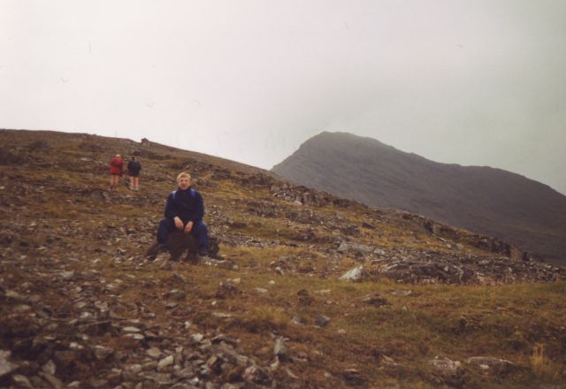
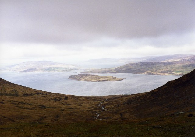
An Cruachan is a popular destination for hikers and mountaineers due to its challenging terrain and breathtaking scenery. The ascent to the summit involves traversing steep slopes, rocky paths, and occasionally requiring the use of hands for scrambling. Despite the level of difficulty, the reward at the top is well worth it, as on a clear day, one can enjoy sweeping vistas over the nearby Loch Awe, the Grampian Mountains, and even the Isle of Mull in the distance.
The hill is also home to a number of rare plant species, including alpine plants that thrive in the high-altitude environment. Wildlife enthusiasts may spot various birds such as golden eagles, peregrine falcons, and red grouse, as well as other small mammals that inhabit the area.
An Cruachan holds historical significance as well. It is believed to have been an important site for ancient Celts and Picts, with remnants of Bronze Age settlements found in the vicinity.
Overall, An Cruachan is a captivating and challenging mountain that offers a rewarding experience for outdoor enthusiasts, nature lovers, and those interested in exploring Scotland's rich history.
If you have any feedback on the listing, please let us know in the comments section below.
An Cruachan Images
Images are sourced within 2km of 56.443009/-5.9736709 or Grid Reference NM5534. Thanks to Geograph Open Source API. All images are credited.

An Cruachan is located at Grid Ref: NM5534 (Lat: 56.443009, Lng: -5.9736709)
Unitary Authority: Argyll and Bute
Police Authority: Argyll and West Dunbartonshire
What 3 Words
///steepest.splits.defected. Near Salen, Argyll & Bute
Nearby Locations
Related Wikis
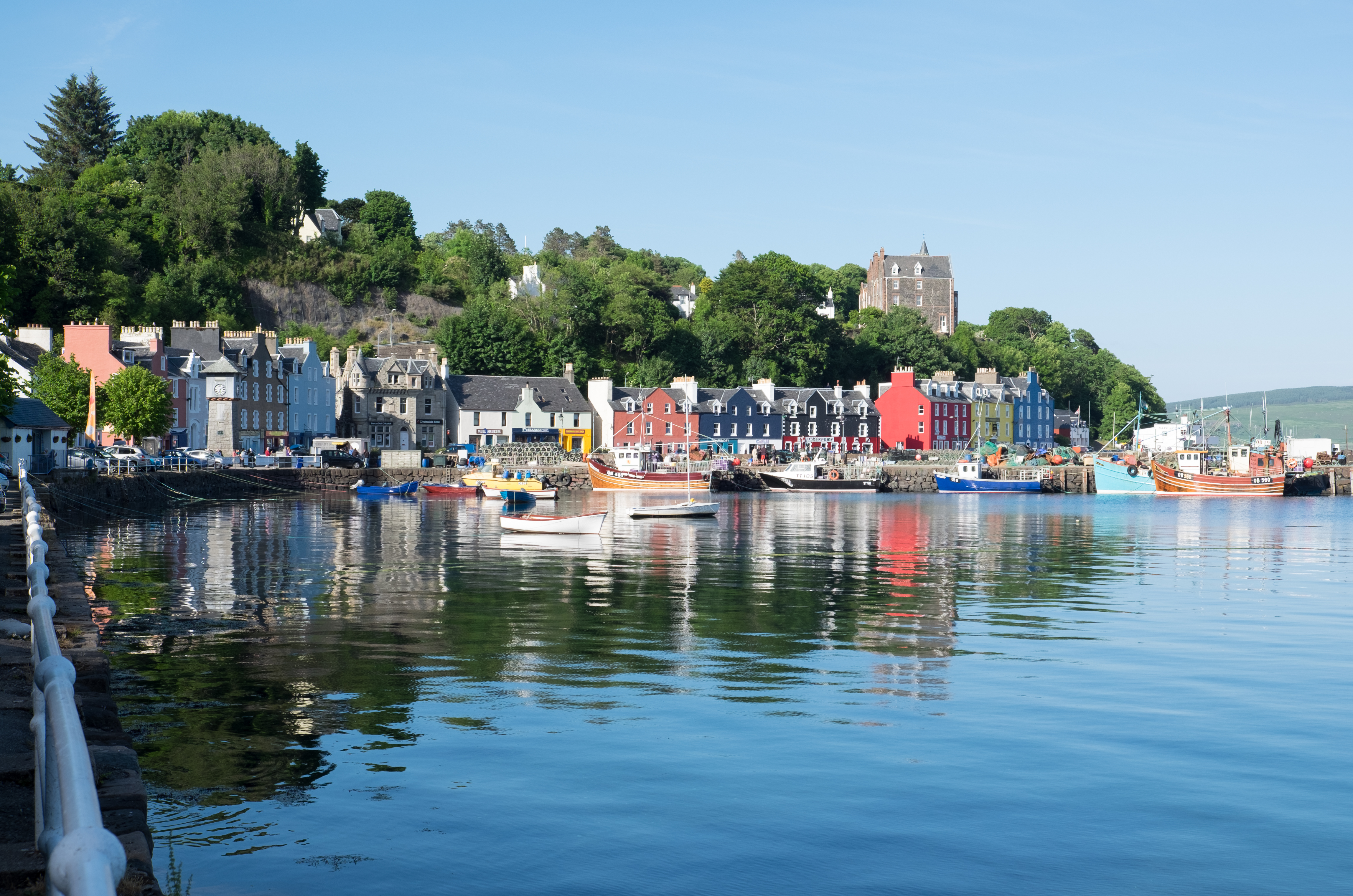
Isle of Mull
The Isle of Mull (Scottish Gaelic: An t-Eilean Muileach [əɲ ˈtʲʰelan ˈmuləx]) or just Mull (Scots pronunciation: [mʌl]; Scottish Gaelic: Muile [ˈmulə]...

Ben More (Mull)
Ben More (Scottish Gaelic: Beinn Mhòr, meaning "great mountain") is the highest mountain and only Munro (mountains in Scotland that reach an elevation...

Loch Bà (Mull)
Loch Bà is a freshwater loch, about 5 km long, in the centre of the Isle of Mull, in Scotland. It is drained by the River Bà, flowing into Loch na Keal...

Inner Hebrides
The Inner Hebrides ( HEB-rid-eez; Scottish Gaelic: na h-Eileanan a-staigh, lit. 'the Inner Isles') is an archipelago off the west coast of mainland Scotland...
Nearby Amenities
Located within 500m of 56.443009,-5.9736709Have you been to An Cruachan?
Leave your review of An Cruachan below (or comments, questions and feedback).