Maol nan Uan

Hill, Mountain in Argyllshire

Scotland

Maol nan Uan

Approaching Pennyghael On the A849
Approaching Pennyghael Credit: Andrew Abbott

Maol nan Uan is a prominent hill located in the region of Argyllshire, in Scotland. Rising to an elevation of approximately 621 meters (2,037 feet), it is classified as a Corbett, which is a Scottish mountain with a height between 2,500 and 3,000 feet.

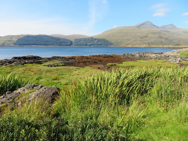
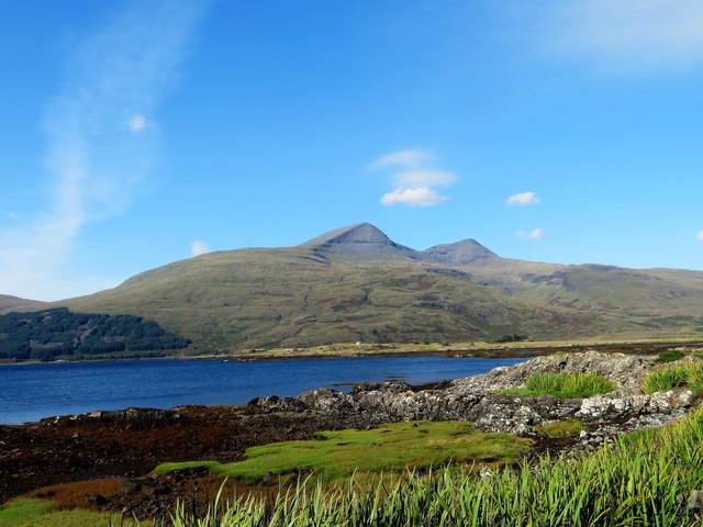
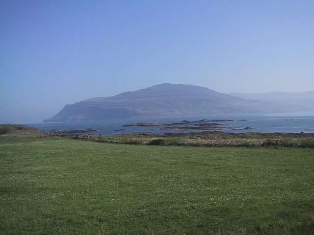
Situated in the western part of Argyllshire, Maol nan Uan offers stunning panoramic views of the surrounding landscape. From its summit, one can witness the rugged beauty of the Scottish Highlands, characterized by rolling hills, deep valleys, and vast expanses of moorland. On clear days, it is even possible to catch a glimpse of the nearby Loch Awe, one of Scotland's largest freshwater lakes.

The ascent to Maol nan Uan can be challenging, with steep and rocky sections along the way. However, the effort is rewarded with breathtaking vistas and a sense of tranquility that can only be found in the remote Scottish countryside. The hill is popular among hikers and mountaineers who seek an exhilarating outdoor adventure.

Wildlife enthusiasts will also find Maol nan Uan a fascinating destination. The hill is home to a variety of animal species, including red deer, mountain hares, and golden eagles. Birdwatchers can spot a range of avian inhabitants, such as peregrine falcons and buzzards.

Overall, Maol nan Uan offers a memorable experience for outdoor enthusiasts, providing both physical challenges and stunning natural beauty. Whether it is conquering its summit or simply reveling in the serenity of the surroundings, this hill in Argyllshire is a must-visit destination for those seeking an authentic Scottish wilderness experience.

If you have any feedback on the listing, please let us know in the comments section below.
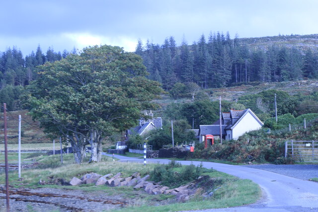
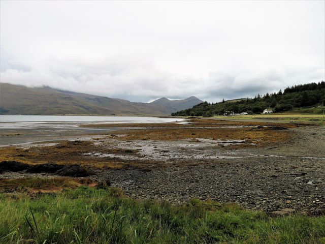
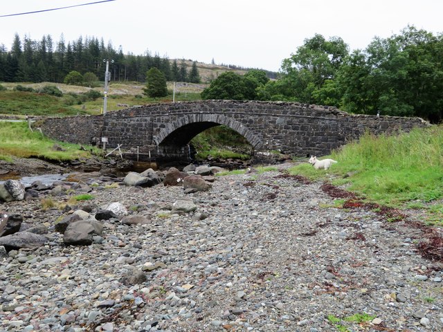
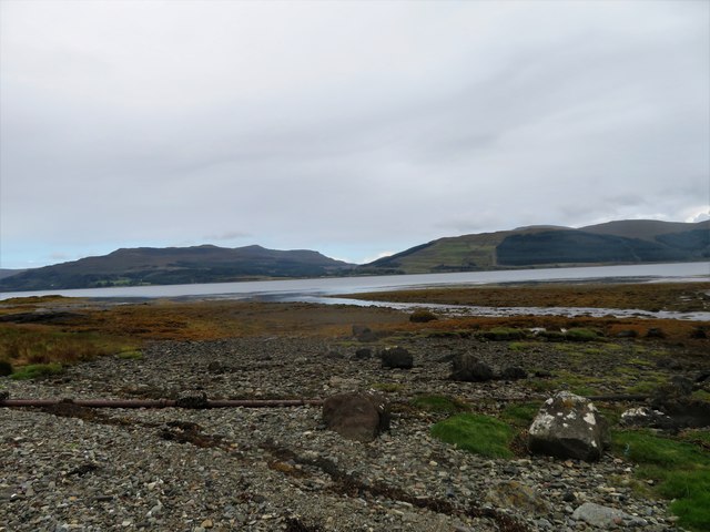
Maol nan Uan Images

Images are sourced within 2km of 56.35985/-5.992023 or Grid Reference NM5325. Thanks to Geograph Open Source API. All images are credited.

Approaching Pennyghael On the A849
Approaching Pennyghael
On the A849
Shore at Pennyghael
Shore at Pennyghael
Pennyghael Hotel
Pennyghael Hotel
Minor road descending to Pennyghael The road connects Pennyghael to Carsaig which is over a pass behind the camera position. Pennyghael, the settlement, is at the junction of this road and the A849; there's a building, presumably a large house, near to the road, also named Pennyghael.
Minor road descending to Pennyghael
The road connects Pennyghael to Carsaig which is over a pass behind the camera position. Pennyghael, the settlement, is at the junction of this road and the A849; there's a building, presumably a large house, near to the road, also named Pennyghael.
Slope above Leidle River Glen Leidle lies below the road where flows the Leidle River.
Ben More is the distant mountain.
Slope above Leidle River
Glen Leidle lies below the road where flows the Leidle River. Ben More is the distant mountain.
Road through Glen Leidle The road connects Pennyghael with Carsaig towards which it's seen heading.
Road through Glen Leidle
The road connects Pennyghael with Carsaig towards which it's seen heading.
Loch Scridain The easterly end of Loch Scridain at Pennyghael.
Loch Scridain
The easterly end of Loch Scridain at Pennyghael.
Pennyghael Bridge The road bridge at Pennyghael carrying the A849 over the Leidle.
Pennyghael Bridge
The road bridge at Pennyghael carrying the A849 over the Leidle.
Leidle Mouth The Leidle flowing into Loch Scridain at Pennyghael.
Leidle Mouth
The Leidle flowing into Loch Scridain at Pennyghael.
Shoreline by Rubha Buidhe Rough grassland and rock by the shore of Loch Scridain.
Shoreline by Rubha Buidhe
Rough grassland and rock by the shore of Loch Scridain.
Scridain View A view across the shoreline of Loch Scridain and the sea loch itself to the mass of Ben More, the aptly named big hill behind.
Scridain View
A view across the shoreline of Loch Scridain and the sea loch itself to the mass of Ben More, the aptly named big hill behind.
Forest and clearfell area near Cnoc nan Cub
End  of road and turning area in the forest above Pennyghael
End of road and turning area in the forest above Pennyghael
Roadside trees and ferns at Pennyghael Birch and Dryopteris borreri, with Loch Scridain beyond.
Roadside trees and ferns at Pennyghael
Birch and Dryopteris borreri, with Loch Scridain beyond.
Power cables at Pennyghael Rough pasture and Birch woodland
Power cables at Pennyghael
Rough pasture and Birch woodland
Mixed woodland at Pennyghael Pine, Birch and Rowan.
Mixed woodland at Pennyghael
Pine, Birch and Rowan.
Glen Leidle A surviving small conifer wood, and clear felling across the valley.
Glen Leidle
A surviving small conifer wood, and clear felling across the valley.
Clear felling in Glen Leidle A large area of cleared forest, with stacks of logs waiting to be taken away <a href="https://www.geograph.org.uk/photo/6181716">NM5324 : Log piles in Glen Leidle</a>.
Clear felling in Glen Leidle
A large area of cleared forest, with stacks of logs waiting to be taken away NM5324 : Log piles in Glen Leidle.
Show me another place!

Maol nan Uan is located at Grid Ref: NM5325 (Lat: 56.35985, Lng: -5.992023)

Unitary Authority: Argyll and Bute

Police Authority: Argyll and West Dunbartonshire

What 3 Words

///emulating.backup.poetry. Near Lochbuie, Argyll & Bute

Nearby Locations

Maol nan Uan

Related Wikis

Pennyghael

Pennyghael (Scottish Gaelic: Peighinn nan Gàidheal) is a small village in the Ross of Mull, Argyll and Bute, Scotland. It is located along the A849 road...

Aird of Kinloch

Aird of Kinloch (Gaelic:An Àird) is a rocky outcrop between Loch Scridain and Loch Beg on the Isle of Mull, Argyll and Bute, Scotland. == References ==

Carsaig Bay

Carsaig Bay is a cove on the Ross of Mull in the south of the Isle of Mull, off the west coast of Scotland. It is situated 5 kilometres (3 miles) eastward...

Loch Scridain

Loch Scridain is a 15-kilometre-long (9-mile) sea loch, with a west-south west aspect, on the western, or Atlantic coastline of the Isle of Mull, in the...

Nearby Amenities

Located within 500m of 56.35985,-5.992023
Maol nan Uan
Ele: 274
Natural: peak
Source: NPE
Lat/Long: 56.3599032/-5.9918867
The data included in this document is from www.openstreetmap.org. The data is made available under ODbL.

Have you been to Maol nan Uan?

Leave your review of Maol nan Uan below (or comments, questions and feedback).