High Barn
Settlement in Lincolnshire East Lindsey
England
High Barn
High Barn is a small village located in the county of Lincolnshire, England. Situated approximately 7 miles east of the city of Lincoln, it falls within the district of West Lindsey. The village is surrounded by picturesque countryside, with rolling hills and scenic views.
The origins of High Barn can be traced back to medieval times, and it is believed that the village was named after a large barn that once stood in the area. Over the centuries, the village has remained relatively small, with a population of around 200 residents.
High Barn is primarily a residential area, with a mix of traditional cottages and more modern homes. The village has a sense of tranquility and is known for its peaceful atmosphere. It offers a close-knit community where neighbors often know each other and come together for various events and activities.
Although High Barn is a rural village, it benefits from its proximity to Lincoln, providing residents with easy access to a range of amenities and services. The city offers a wide array of shopping options, restaurants, and entertainment venues.
For those interested in exploring the outdoors, High Barn is surrounded by beautiful countryside, offering opportunities for walking, hiking, and cycling. The nearby Lincolnshire Wolds, an Area of Outstanding Natural Beauty, is a popular destination for outdoor enthusiasts.
In summary, High Barn is a picturesque village in Lincolnshire, offering a peaceful and close-knit community, with easy access to amenities and stunning countryside.
If you have any feedback on the listing, please let us know in the comments section below.
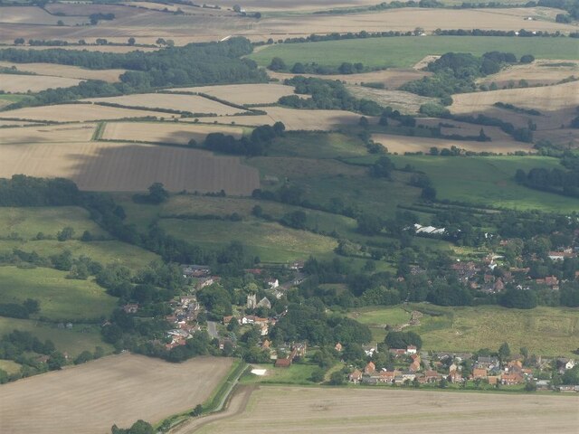
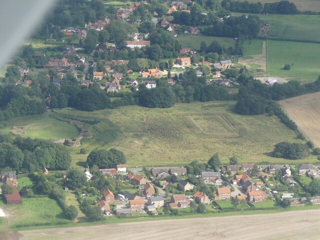
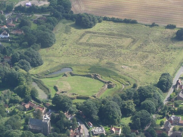
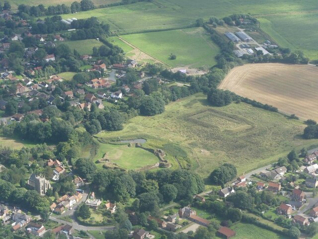
High Barn Images
Images are sourced within 2km of 53.155772/0.03244408 or Grid Reference TF3664. Thanks to Geograph Open Source API. All images are credited.


High Barn is located at Grid Ref: TF3664 (Lat: 53.155772, Lng: 0.03244408)
Division: Parts of Lindsey
Administrative County: Lincolnshire
District: East Lindsey
Police Authority: Lincolnshire
What 3 Words
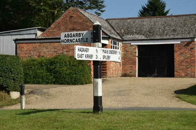
///heave.rooster.courts. Near Spilsby, Lincolnshire
Nearby Locations
Related Wikis
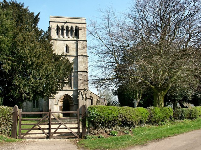
West Keal
West Keal is a village and civil parish 25 miles (40 km) east of Lincoln, in the East Lindsey district, in the county of Lincolnshire, England. The parish...
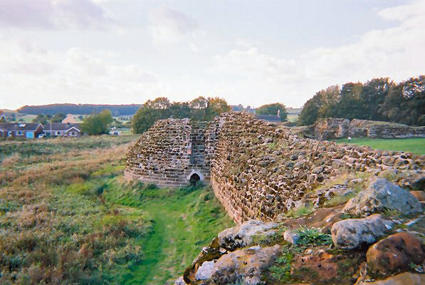
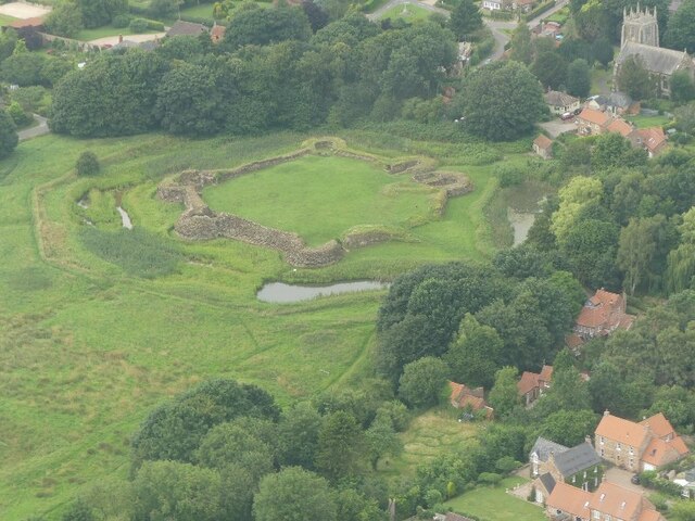
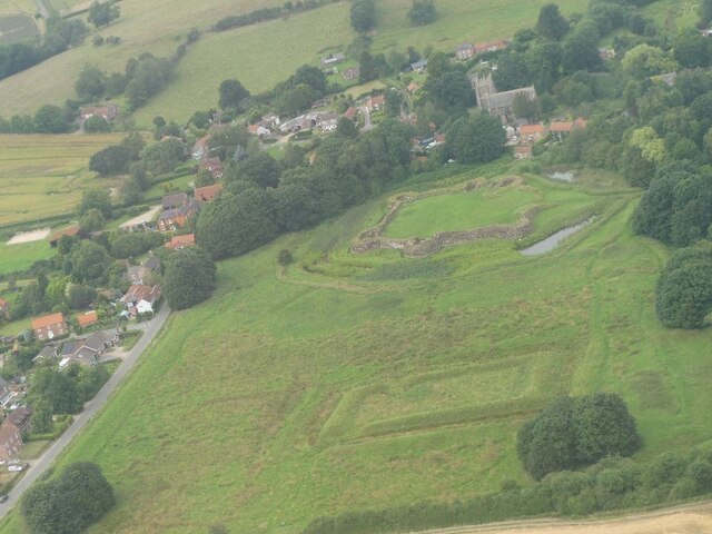
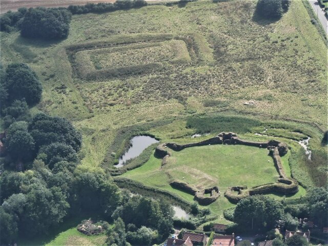
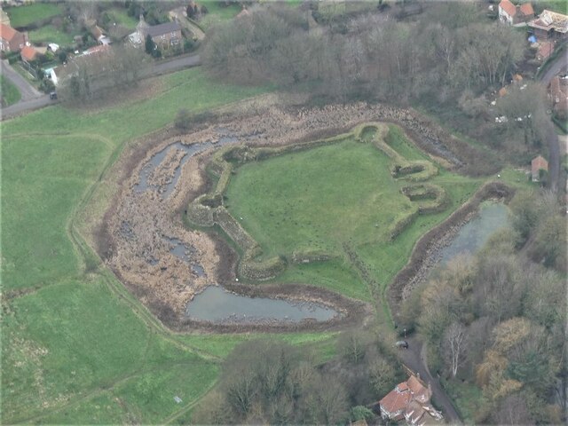
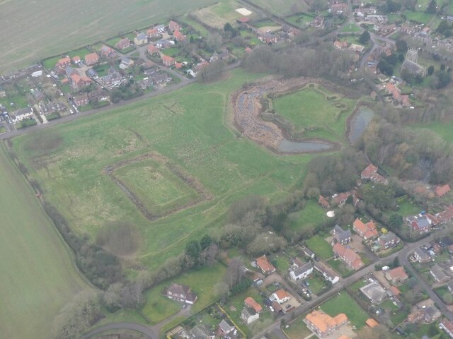
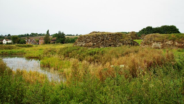
Bolingbroke Castle
Bolingbroke Castle is a ruined castle in Bolingbroke (now Old Bolingbroke) in Lincolnshire, England. == Construction == Most of the castle is built of...

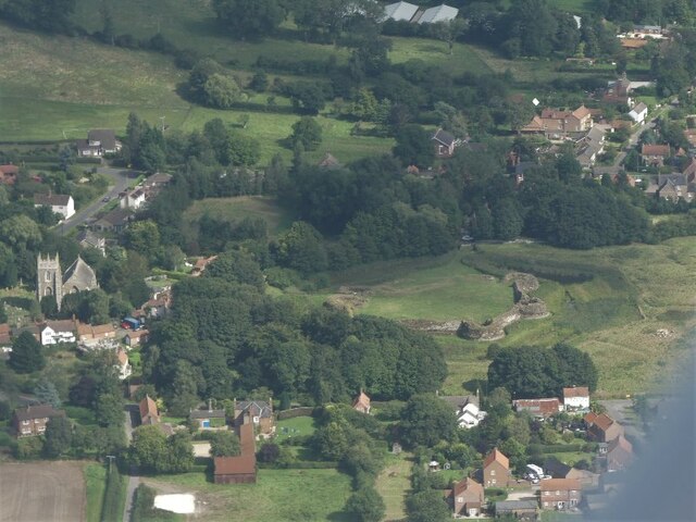
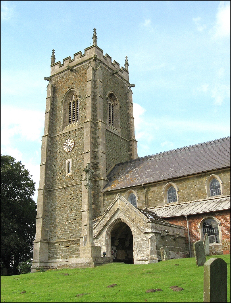
Bolingbroke, Lincolnshire
Bolingbroke, now called Old Bolingbroke, is a village and civil parish in the East Lindsey district of Lincolnshire, England. Its present boundaries were...
East Keal
East Keal is a village and civil parish in the East Lindsey district of Lincolnshire, England. It is situated approximately 13 miles (21 km) north from...
Nearby Amenities
Located within 500m of 53.155772,0.03244408Have you been to High Barn?
Leave your review of High Barn below (or comments, questions and feedback).