Barn, High
Settlement in Lincolnshire East Lindsey
England
Barn, High
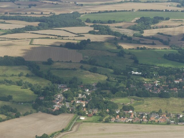
Barn, High, Lincolnshire is a small village located in the East Midlands region of England. Situated in the county of Lincolnshire, the village is nestled in a rural setting surrounded by picturesque countryside. Barn, High is known for its tranquil atmosphere and charming rural character.
The village is home to a close-knit community of approximately 500 residents. The village retains its traditional architectural style, with many of the buildings constructed from local stone. The village center features a small square with a few shops and amenities, including a local pub and a village hall.
Surrounded by rolling hills and farmland, Barn, High offers residents and visitors ample opportunities for outdoor activities such as hiking and cycling. The village is also in close proximity to several nature reserves and country parks, providing further options for exploring the natural beauty of the area.
Barn, High is well-connected to nearby towns and cities, with good transportation links including a nearby train station and bus routes. This allows residents to easily access amenities and services in surrounding areas.
Overall, Barn, High, Lincolnshire is a peaceful and idyllic village, offering a quintessential English countryside experience. With its beautiful landscapes and strong sense of community, it is a desirable place to live for those seeking a rural lifestyle.
If you have any feedback on the listing, please let us know in the comments section below.
Barn, High Images
Images are sourced within 2km of 53.155772/0.03244408 or Grid Reference TF3664. Thanks to Geograph Open Source API. All images are credited.


Barn, High is located at Grid Ref: TF3664 (Lat: 53.155772, Lng: 0.03244408)
Division: Parts of Lindsey
Administrative County: Lincolnshire
District: East Lindsey
Police Authority: Lincolnshire
What 3 Words
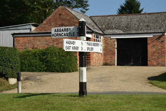
///heave.rooster.courts. Near Spilsby, Lincolnshire
Nearby Locations
Related Wikis
West Keal
West Keal is a village and civil parish 25 miles (40 km) east of Lincoln, in the East Lindsey district, in the county of Lincolnshire, England. The parish...
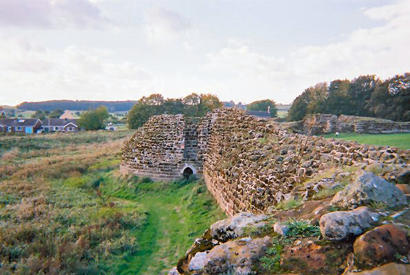
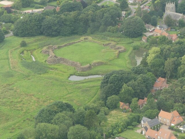
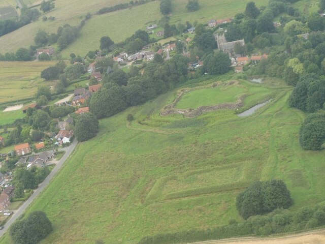
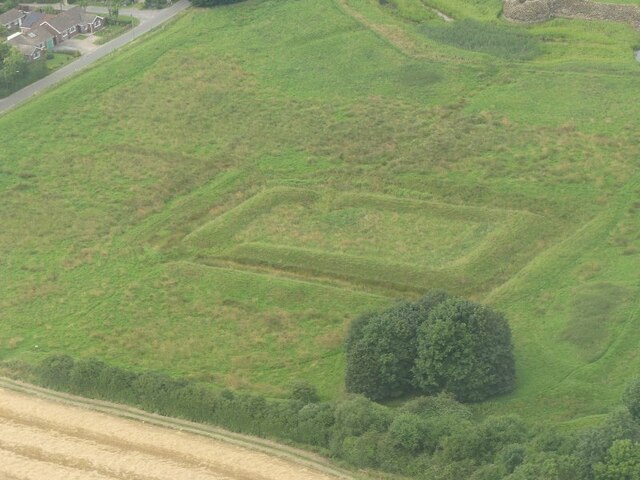
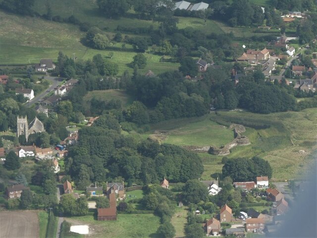
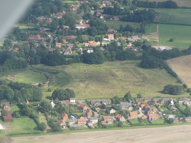
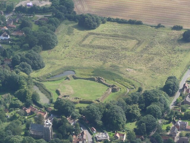
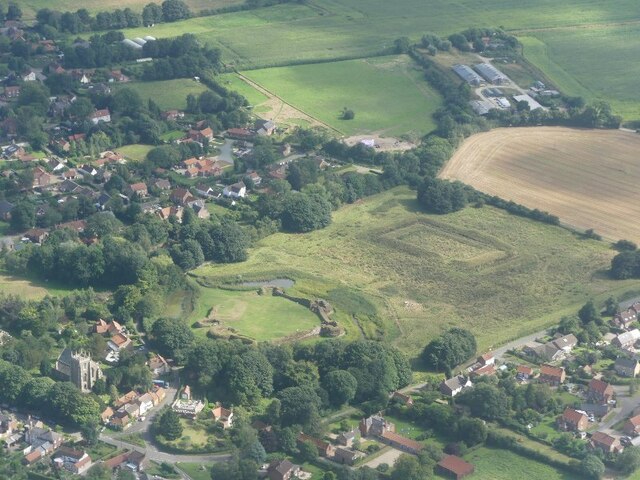
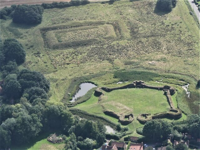
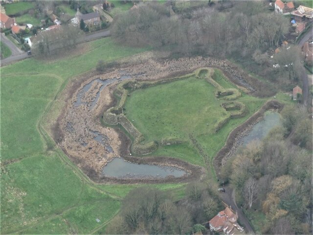
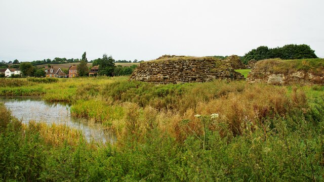
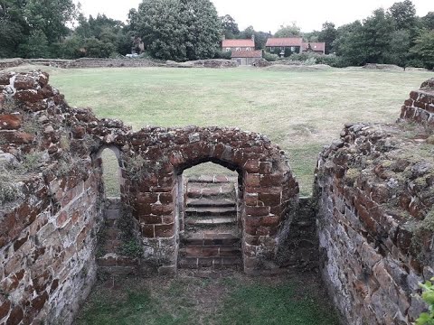
Bolingbroke Castle
Bolingbroke Castle is a ruined castle in Bolingbroke (now Old Bolingbroke) in Lincolnshire, England. == Construction == Most of the castle is built of...

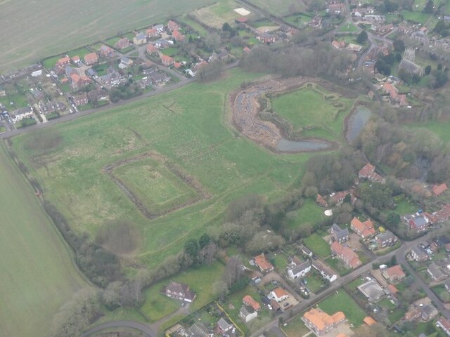
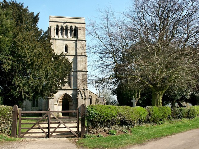
Bolingbroke, Lincolnshire
Bolingbroke, now called Old Bolingbroke, is a village and civil parish in the East Lindsey district of Lincolnshire, England. Its present boundaries were...
East Keal
East Keal is a village and civil parish in the East Lindsey district of Lincolnshire, England. It is situated approximately 13 miles (21 km) north from...
Related Videos
Old Bolingbroke walk, Lincolnshire, UK
A circular walk of 6.5 miles around Old Bolingbroke, Lincolnshire. This walk includes a visit to Old Bolingbroke Castle ruins which ...
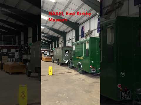

Hall’s on tour( East Kirkby air museum)
We spend a bank holiday weekend at East Kirkby heritage museum on their 80 anniversary year.
Bolingbroke Castle Adventure - Daddy & Son
Me (Dad) and my son Tino had an absolutely lovely evening a few days ago exploring the remains of Bolingbroke Castle in ...
Nearby Amenities
Located within 500m of 53.155772,0.03244408Have you been to Barn, High?
Leave your review of Barn, High below (or comments, questions and feedback).