Tom Bhataleòis

Hill, Mountain in Ross-shire

Scotland

Tom Bhataleòis

Peat islands, Loch Langabhat, Isle of Lewis The current OS map (as viewed on OS Maps 8/7/16) shows one large island.  Google Earth imagery dated 2009 shows the left and middle island still joined together.
Peat islands, Loch Langabhat, Isle of Lewis Credit: Claire Pegrum

Tom Bhataleòis is a prominent hill located in Ross-shire, Scotland. Standing at an elevation of approximately 1,159 feet (353 meters), it dominates the landscape of the region. The hill is part of the magnificent Wester Ross area, known for its rugged beauty and stunning natural scenery.

Tom Bhataleòis offers breathtaking panoramic views of the surrounding countryside, including the magnificent Loch Broom and the nearby Coigach hills. Its prominent position and relatively easy accessibility make it a popular destination for both locals and visitors who enjoy outdoor activities such as hiking and hillwalking.

The hill features a well-defined path that leads to its summit, making it accessible for walkers of all abilities. The ascent offers a moderate challenge, with some steeper sections that require careful navigation. However, the reward is a magnificent vista of the surrounding landscape, making the effort well worthwhile.

The summit of Tom Bhataleòis is characterized by rocky outcrops and a cairn, providing a perfect spot for hikers to rest and enjoy the breathtaking views. On clear days, it is possible to see as far as the famous Isle of Skye, adding to the allure of this remarkable hill.

In addition to its natural beauty, Tom Bhataleòis is also rich in historical and cultural significance. It is believed to have been an important vantage point during ancient times, serving as a lookout for local clans. Today, it continues to be a beloved destination for those seeking both adventure and tranquility in the heart of the Scottish Highlands.

If you have any feedback on the listing, please let us know in the comments section below.

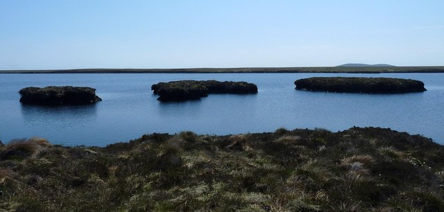
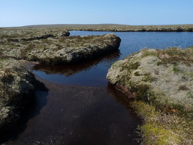
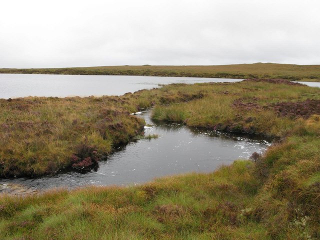
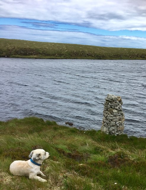
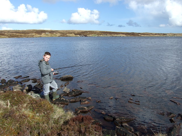
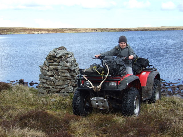
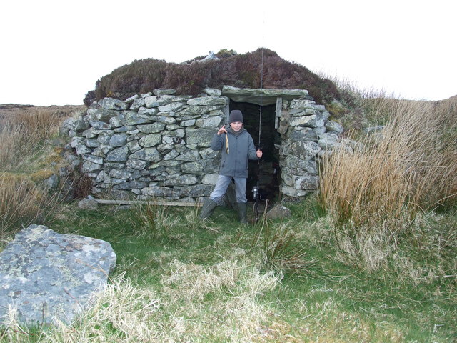
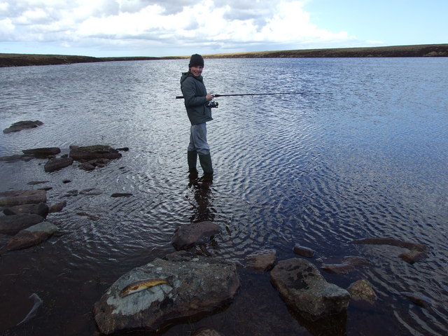
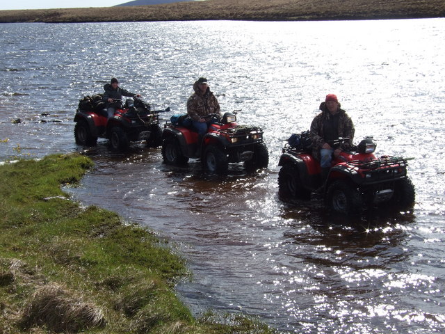
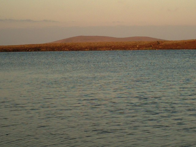
Tom Bhataleòis Images

Images are sourced within 2km of 58.402058/-6.2549989 or Grid Reference NB5153. Thanks to Geograph Open Source API. All images are credited.

Peat islands, Loch Langabhat, Isle of Lewis The current OS map (as viewed on OS Maps 8/7/16) shows one large island.  Google Earth imagery dated 2009 shows the left and middle island still joined together.
Peat islands, Loch Langabhat, Isle of Lewis
The current OS map (as viewed on OS Maps 8/7/16) shows one large island. Google Earth imagery dated 2009 shows the left and middle island still joined together.
Lochan, Druim Loch an Fheòir, Isle of Lewis The high ground ahead is Beinn Dail and Beinn nan Caorach.
Lochan, Druim Loch an Fheòir, Isle of Lewis
The high ground ahead is Beinn Dail and Beinn nan Caorach.
Burn at Da Loch Fhuaimeabhat This is the burn that flows into the most westerly of the two lochs.
Burn at Da Loch Fhuaimeabhat
This is the burn that flows into the most westerly of the two lochs.
Loch Glutach Cairn This Lochside cairn is not particularly conspicuous when approaching the Loch.
Interestingly although it is clearly old, it does not feature on the ordnance survey map.
Loch Glutach Cairn
This Lochside cairn is not particularly conspicuous when approaching the Loch. Interestingly although it is clearly old, it does not feature on the ordnance survey map.
Trout fishing on Lochan Vataleois Daniel MacDonald trout fishing on Lochan Vataleois.
Trout fishing on Lochan Vataleois
Daniel MacDonald trout fishing on Lochan Vataleois.
Cairn at Lochan Vataleois Daniel MacDonald on the quad beside the cairn at Lochan Vataleois.
Cairn at Lochan Vataleois
Daniel MacDonald on the quad beside the cairn at Lochan Vataleois.
Shieling at Lochan Vataleois Daniel standing outside a shieling or 'airigh' at Lochan Vataleois, these shielings were used as summer living quarters while cattle were on the moor for summer grazing.
Shieling at Lochan Vataleois
Daniel standing outside a shieling or 'airigh' at Lochan Vataleois, these shielings were used as summer living quarters while cattle were on the moor for summer grazing.
Trout fishing Daniel MacDonald trout fishing on Loch Bataleois, with a fine trout weighing three quarter of a pound.
Trout fishing
Daniel MacDonald trout fishing on Loch Bataleois, with a fine trout weighing three quarter of a pound.
Quads in Loch Eileabhat The moor is just too soft and rough to pass at this point, the easy way is in the shore of Loch Beag Eileabhat.
Quads in Loch Eileabhat
The moor is just too soft and rough to pass at this point, the easy way is in the shore of Loch Beag Eileabhat.
Muirneag 4 30 AM morning sun on Muirneag from Loch Mor Nan Eileavat
Muirneag
4 30 AM morning sun on Muirneag from Loch Mor Nan Eileavat
My dog Trixie Our camp site on the banks of Loch Mor Nan Eileavat
My dog Trixie
Our camp site on the banks of Loch Mor Nan Eileavat
Show me another place!

Tom Bhataleòis is located at Grid Ref: NB5153 (Lat: 58.402058, Lng: -6.2549989)

Unitary Authority: Na h-Eileanan an Iar

Police Authority: Highlands and Islands

What 3 Words

///cargo.amphibian.goodbyes. Near North Tolsta, Na h-Eileanan Siar

Related Wikis

New Tolsta

New Tolsta (Scottish Gaelic: Baile Ùr Tholastaidh) is a village on the Isle of Lewis in the Outer Hebrides, Scotland. New Tolsta is within the parish of...

North Tolsta

North Tolsta (Scottish Gaelic: Tolastadh bho Thuath) is a village in the Scottish Outer Hebrides, on the east side of the Isle of Lewis. North Tolsta is...

Ness, Lewis

Ness (Scottish Gaelic: Nis) is the northernmost part of the Isle of Lewis, a community consisting of about 16 villages, including Lionel, Habost, Swainbost...

Cross, Lewis

Cross (Scottish Gaelic: Cros) is a township on the Isle of Lewis in the community of Ness, in the Outer Hebrides, Scotland. Cross is within the parish...

Have you been to Tom Bhataleòis?

Leave your review of Tom Bhataleòis below (or comments, questions and feedback).