A' Chorra-Bheinn
Hill, Mountain in Inverness-shire
Scotland
A' Chorra-Bheinn
A' Chorra-Bheinn is a prominent hill located in Inverness-shire, Scotland. It stands at an impressive height of 722 meters (2,369 feet) and is part of the stunning Highland landscape. The hill is situated in the western region of Inverness-shire, near the small village of Achnasheen.
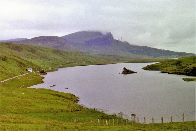
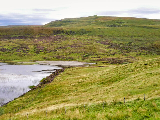
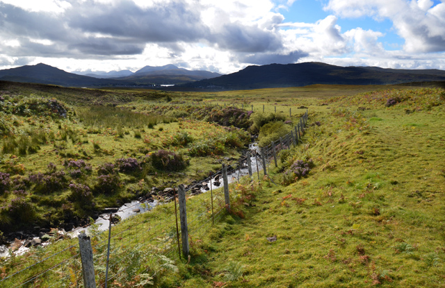
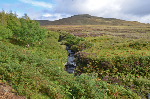
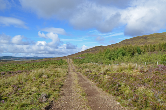
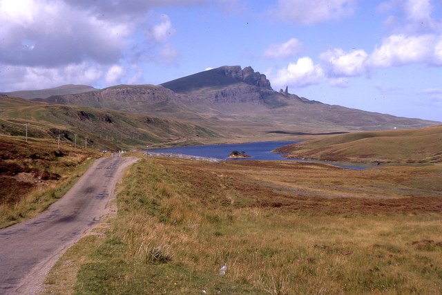
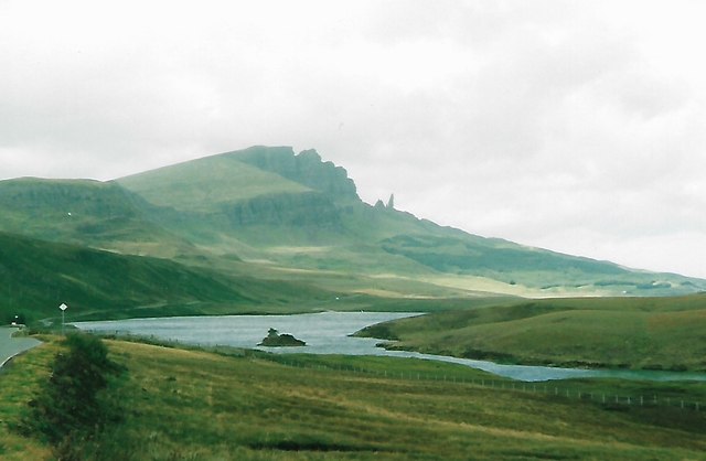
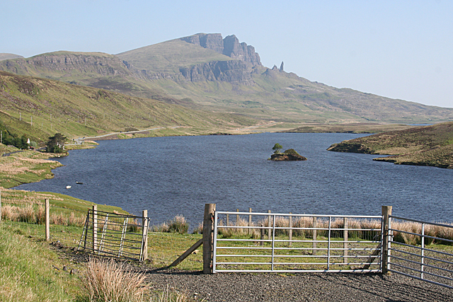
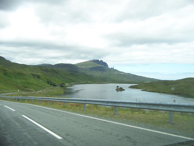
A' Chorra-Bheinn is a popular destination for hikers and outdoor enthusiasts due to its accessibility and breathtaking views. The hill is known for its rugged terrain, with steep slopes and rocky outcrops that provide a challenge for climbers. However, the effort is rewarded with stunning panoramic vistas of the surrounding countryside, including the beautiful Loch Carron.
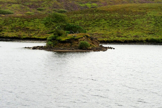
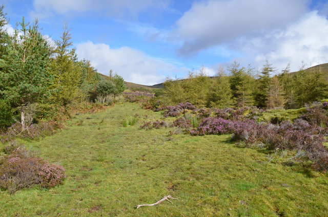
The hill is surrounded by a diverse range of wildlife and vegetation, adding to its natural appeal. Visitors may encounter various bird species, such as golden eagles and peregrine falcons, soaring through the sky. The lower slopes are covered in heather and grasses, while higher up, the vegetation becomes sparser, giving way to rocky terrain and scree slopes.
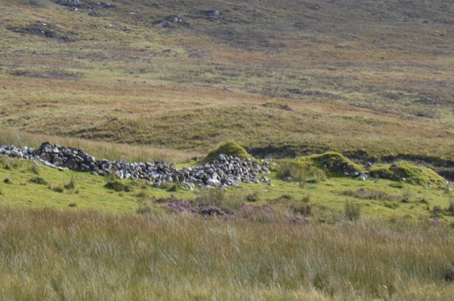
A' Chorra-Bheinn is also steeped in history and folklore. The hill has been inhabited for thousands of years, and remnants of ancient settlements, such as stone circles and burial cairns, can still be found in the area. Local legends speak of mythical creatures who once roamed the hill, adding an air of mystery to this already enchanting location.
Overall, A' Chorra-Bheinn is a captivating hill in Inverness-shire, offering a challenging yet rewarding experience for nature enthusiasts and history buffs alike. Its stunning natural beauty, diverse wildlife, and rich history make it a must-visit destination for anyone exploring the Scottish Highlands.
If you have any feedback on the listing, please let us know in the comments section below.
A' Chorra-Bheinn Images
Images are sourced within 2km of 57.460523/-6.2078182 or Grid Reference NG4748. Thanks to Geograph Open Source API. All images are credited.
A' Chorra-Bheinn is located at Grid Ref: NG4748 (Lat: 57.460523, Lng: -6.2078182)
Unitary Authority: Highland
Police Authority: Highlands and Islands
What 3 Words
///sweetened.famed.reassured. Near Portree, Highland
Nearby Locations
Related Wikis

Achachork
Achachork (Scottish Gaelic: Achadh a' Choirce) is a small village in the Scottish council area of the Highland. It is lies on the A855 road to the north...

Borve, Skye
Borve or Borbh is a crofting township on the Isle of Skye, Scotland. == Dun Borve == Dun Borve [dùn is 'fort' in Gaelic] is an ancient fort, that was considered...

Carbost, Trotternish
Carbost (Scottish Gaelic: Càrrabost) is a crofting settlement at the southern end of the Trotternish peninsula on the Isle of Skye in the Highlands of...
Radio Skye
Radio Skye is a local radio station which broadcasts from Portree to the Isle of Skye, as well as the region of Lochalsh, Wester Ross on the Scottish mainland...
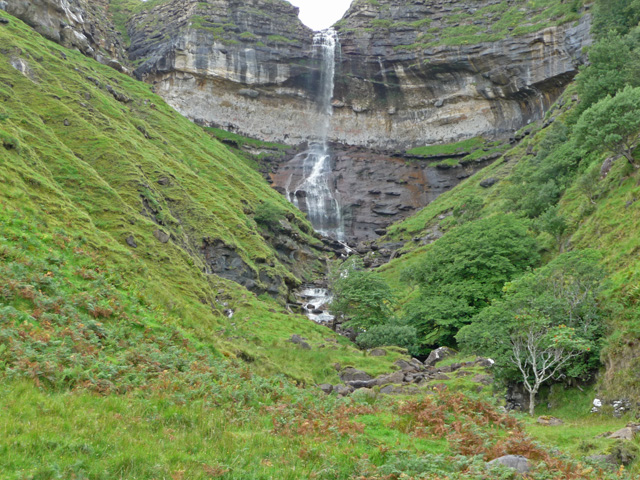
Bearreraig Waterfall
Bearreraig Waterfall is a waterfall of Scotland.It is located on the Trotternish peninsula of the island of Skye, on the Bearreraig River which runs from...
Bun-sgoil Ghàidhlig Phort Righ
Bun-sgoil Ghàidhlig Phort Righ is a Gaelic-medium primary school in Portree on Skye, Scotland. The school opened April 2018, becoming the third purpose...

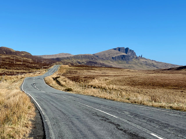
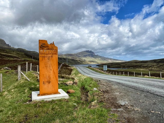
The Storr
The Storr (Scottish Gaelic: An Stòr) is a rocky hill on the Trotternish peninsula of the Isle of Skye in Scotland. The hill presents a steep rocky eastern...

Pairc nan Laoch
Pairc nan Laoch is a shinty stadium in Portree, Isle of Skye, Scotland. It is home to Skye Camanachd. == History == Skye Camanachd originally played at...
Nearby Amenities
Located within 500m of 57.460523,-6.2078182Have you been to A' Chorra-Bheinn?
Leave your review of A' Chorra-Bheinn below (or comments, questions and feedback).