An Sgùrr

Hill, Mountain in Inverness-shire

Scotland

An Sgùrr

Track near Galmisdale, Eigg
Track near Galmisdale, Eigg Credit: Chris Morgan

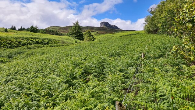
An Sgùrr is a prominent hill located in Inverness-shire, Scotland. Standing at an impressive height of 394 meters (1,293 feet), it offers breathtaking panoramic views of the surrounding landscapes. Situated on the Isle of Eigg, An Sgùrr is the highest point on the island and is a popular destination for hikers and nature enthusiasts.

The hill is composed of volcanic rock, specifically pitchstone, which gives it a distinct dark appearance. Its steep and rugged slopes present a challenge for climbers, but the reward is well worth the effort. Upon reaching the summit, visitors are greeted with awe-inspiring vistas of the Inner Hebrides, including the neighboring islands of Rum, Muck, and Skye.

An Sgùrr has significant geological and historical importance. It was formed around 50 million years ago during a volcanic eruption, and its unique rock formations have been studied by geologists for years. The hill also holds cultural significance for the local community, as it was historically used as a defensive stronghold during clan conflicts.

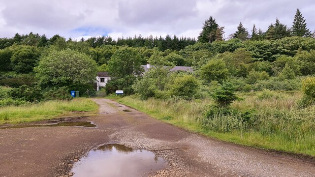
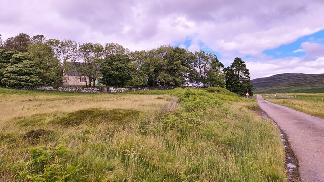
The ascent to An Sgùrr typically begins from the village of Cleadale, with a well-marked trail leading up the hill. The path can be challenging at times, requiring careful navigation and suitable hiking gear. However, the stunning views and sense of accomplishment at the summit make it an unforgettable experience.

Whether explored by avid climbers or admired from a distance, An Sgùrr is a remarkable natural landmark that showcases the beauty and geological diversity of the Scottish Highlands.

If you have any feedback on the listing, please let us know in the comments section below.
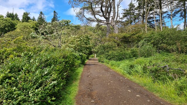
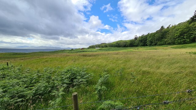
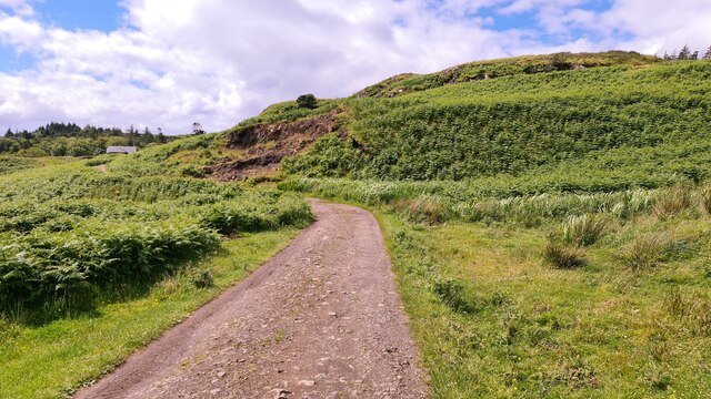
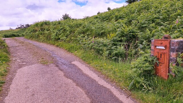
An Sgùrr Images

Images are sourced within 2km of 56.884102/-6.1656987 or Grid Reference NM4684. Thanks to Geograph Open Source API. All images are credited.

Track near Galmisdale, Eigg
Eigg near Galmisdale
Track to The Lodge
Track to The Lodge
Missed the last post
Valley of Allt Eas Chuthain, Eigg An Sgurr in background
Valley of Allt Eas Chuthain, Eigg
An Sgurr in background
Small Isles Medical Centre, Eigg Well hidden away
Small Isles Medical Centre, Eigg
Well hidden away
Eigg church Church of Scotland
Eigg church
Church of Scotland
Isle of Eigg: Sandavore Kirk
The Sgurr overshadows the moors of Eigg
Eigg and Rum Eigg is in the foreground; the Sgurr is towards the left (west) end of the island. Beyond it is the island of Rum, and in the distance is Skye, with the Black Cuillin at extreme right.
Eigg and Rum
Eigg is in the foreground; the Sgurr is towards the left (west) end of the island. Beyond it is the island of Rum, and in the distance is Skye, with the Black Cuillin at extreme right.
Track from Glebe Barn, Eigg The track to the road with the ever-present tower of the Sgurr of Eigg catching the eye. To the left is the old manse.
Track from Glebe Barn, Eigg
The track to the road with the ever-present tower of the Sgurr of Eigg catching the eye. To the left is the old manse.
Solar farm, Eigg Electric Eigg Electric supplies the island which is not connected to the National Grid. The solar array is 50kW in capacity and is linked as required in combination with wind and hydro inputs plus a battery bank and diesel generators as back-up. See <span class="nowrap"><a title="http://www.isleofeigg.org/eigg-electric/" rel="nofollow ugc noopener" href="http://www.isleofeigg.org/eigg-electric/">Link</a><img style="margin-left:2px;" alt="External link" title="External link - shift click to open in new window" src="https://s1.geograph.org.uk/img/external.png" width="10" height="10"/></span> for further details.

Nick Wilson's photo <a href="https://www.geograph.org.uk/photo/1270268">NM4885 : Eigg Electric - PV Panel</a> shows an earlier solar installation in 2008.
Solar farm, Eigg Electric
Eigg Electric supplies the island which is not connected to the National Grid. The solar array is 50kW in capacity and is linked as required in combination with wind and hydro inputs plus a battery bank and diesel generators as back-up. See LinkExternal link for further details. Nick Wilson's photo NM4885 : Eigg Electric - PV Panel shows an earlier solar installation in 2008.
The Nose, An Sgurr The striking summit that is actually the end of a steep-sided ridge of volcanic rock, looking much more impressive than its 394m height might suggest. The scale can be judged by the five figures on top.
The Nose, An Sgurr
The striking summit that is actually the end of a steep-sided ridge of volcanic rock, looking much more impressive than its 394m height might suggest. The scale can be judged by the five figures on top.
Coast at Galmisdale The coast and Eilean Chathastail (Castle Island) seen from the track to the caves.
Coast at Galmisdale
The coast and Eilean Chathastail (Castle Island) seen from the track to the caves.
Coast at Galmisdale (2) The pier café and shop building near the ferry slipway with the N end of Eilean Chathastail in view, and the mainland around Mallaig opposite.
Coast at Galmisdale (2)
The pier café and shop building near the ferry slipway with the N end of Eilean Chathastail in view, and the mainland around Mallaig opposite.
Eigg's rocky south coast The cliffs and rocky beach seen from the path to the Massacre Cave.
Eigg's rocky south coast
The cliffs and rocky beach seen from the path to the Massacre Cave.
Coast near the Massacre Cave, Eigg The rocky coast to the east of the cave entrance shown in <a href="https://www.geograph.org.uk/photo/3970306">NM4783 : Entrance to Massacre Cave</a>.
Coast near the Massacre Cave, Eigg
The rocky coast to the east of the cave entrance shown in NM4783 : Entrance to Massacre Cave.
The Lodge gardens, Eigg The Lodge was built in 1924 by Lord Runciman, Eigg's 5th landowner. The garden here has been planted with subtropical species - information from the 'Guide to the Isle of Eigg Postcard Maps', describing waymarked walks on the island.
The Lodge gardens, Eigg
The Lodge was built in 1924 by Lord Runciman, Eigg's 5th landowner. The garden here has been planted with subtropical species - information from the 'Guide to the Isle of Eigg Postcard Maps', describing waymarked walks on the island.
Show me another place!

An Sgùrr is located at Grid Ref: NM4684 (Lat: 56.884102, Lng: -6.1656987)

Unitary Authority: Highland

Police Authority: Highlands and Islands

What 3 Words

///stream.permanent.partly. Near Arisaig, Highland

Related Wikis

An Sgùrr (Eigg)

An Sgùrr is the highest hill on the Inner Hebridean island of Eigg, Lochaber, Highland, Scotland. It was formed 58.72 ± 0.07 million years ago; the result...

Galmisdale

Galmisdale is the main port of the island of Eigg, one of the Small Isles of the Inner Hebrides. It is in the Scottish council area of Highland. ��2�...

Eigg

Eigg ( eg; Scottish Gaelic: Eige; Scots: Eigg) is one of the Small Isles in the Scottish Inner Hebrides. It lies to the south of the Isle of Skye and to...

Eilean Chathastail

Eilean Chathastail (Eng: Castle Island) is one of the Small Isles in the Inner Hebrides of Scotland. == Geography == Eilean Chathastail...

Nearby Amenities

Located within 500m of 56.884102,-6.1656987
An Sgùrr
Ele: 393
Natural: peak
Prominence: 393
Wikidata: Q3358819
Wikipedia: en:An Sgùrr (Eigg)
Lat/Long: 56.8839739/-6.1657659
Man Made: survey_point
Lat/Long: 56.8839732/-6.1656248
The data included in this document is from www.openstreetmap.org. The data is made available under ODbL.

Have you been to An Sgùrr?

Leave your review of An Sgùrr below (or comments, questions and feedback).