Ben Volovaig

Hill, Mountain in Inverness-shire

Scotland

Ben Volovaig

Path from Rubha Hunish
Path from Rubha Hunish Credit: Clive Nicholson

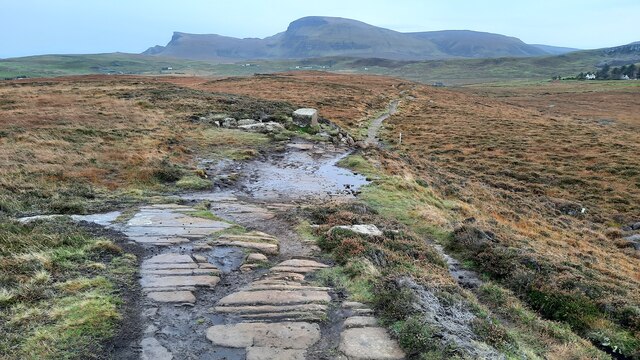
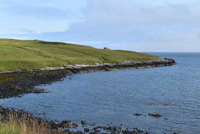
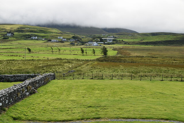
Ben Volovaig is a prominent hill located in Inverness-shire, Scotland. It is part of the Scottish Highlands and is situated on the Isle of Skye, known for its rugged landscapes and breathtaking natural beauty. Rising to an impressive height of 365 meters (1,198 feet), Ben Volovaig offers panoramic views of the surrounding area and is a popular destination for hikers and nature enthusiasts.

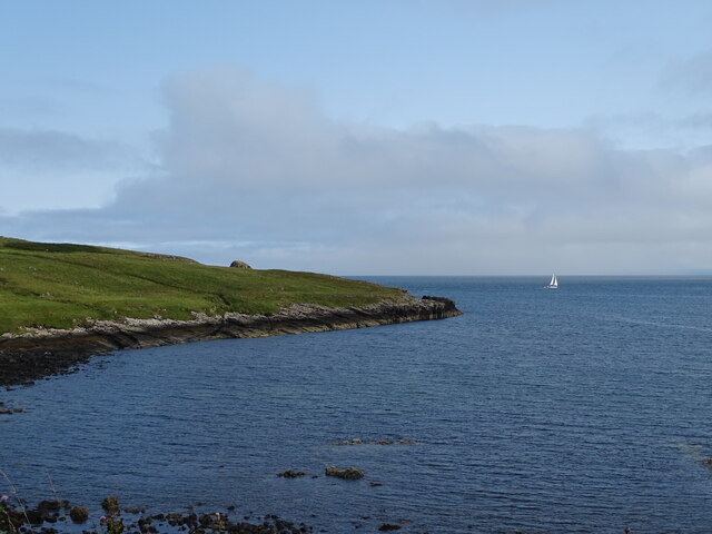
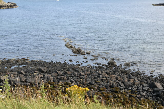
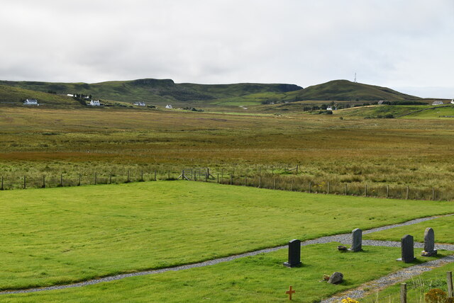
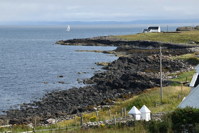
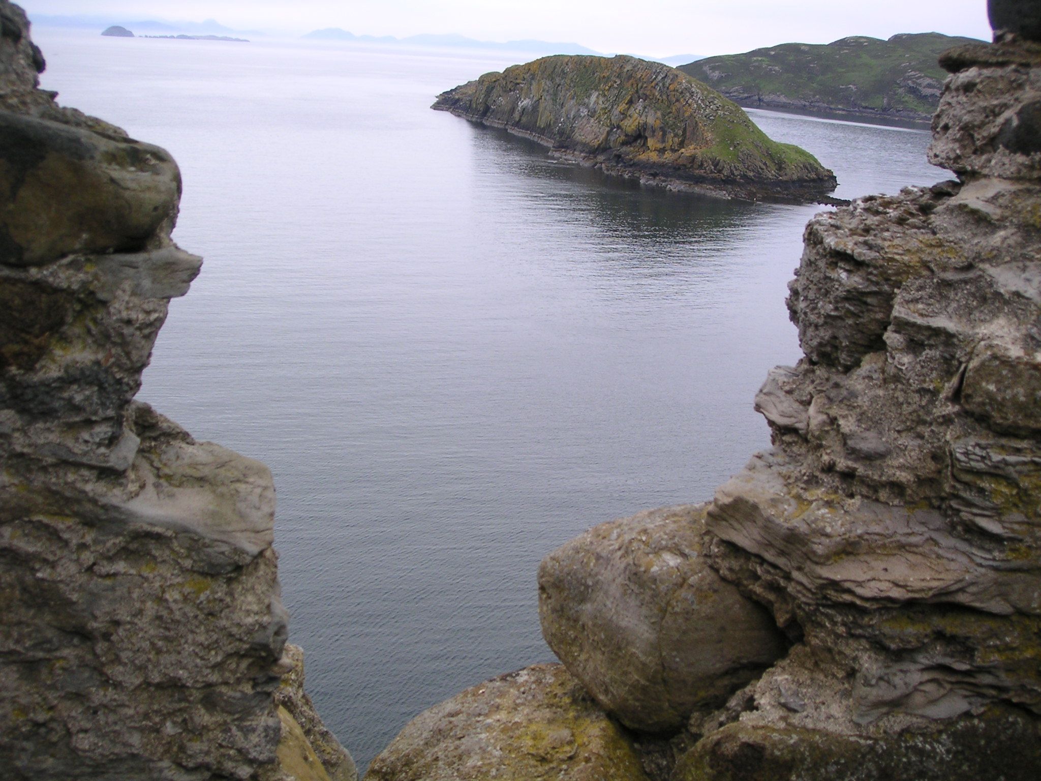
The hill is characterized by its distinctive cone shape, with a steep and rocky terrain making it a challenging yet rewarding climb. Its location on the Isle of Skye adds to its allure, as visitors can enjoy stunning vistas of the crystal-clear waters of the Inner Sound and the neighboring islands of Raasay and Rona.

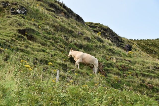
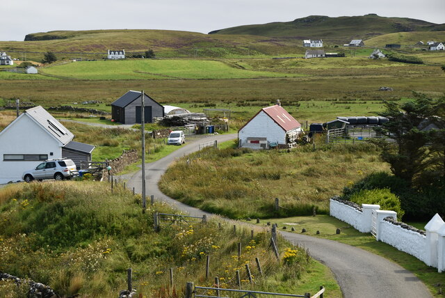
The ascent of Ben Volovaig can be approached from various starting points, with the most common route beginning at the village of Glendale. The climb takes hikers through a mixture of moorland, heather, and rocky slopes, providing an opportunity to witness the diverse flora and fauna of the region. Reaching the summit rewards climbers with breathtaking views of the Isle of Skye's dramatic coastline, the Skye Cuillin mountains, and the Outer Hebrides on clear days.

Due to its location and natural beauty, Ben Volovaig attracts not only hikers but also photographers, artists, and outdoor enthusiasts seeking inspiration and tranquility. The hill provides a unique and immersive experience, allowing visitors to connect with the raw and untamed beauty of the Scottish Highlands.

If you have any feedback on the listing, please let us know in the comments section below.
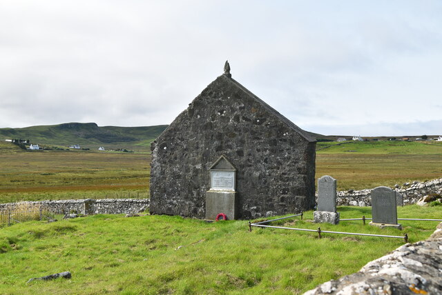
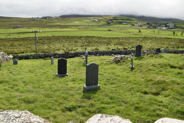
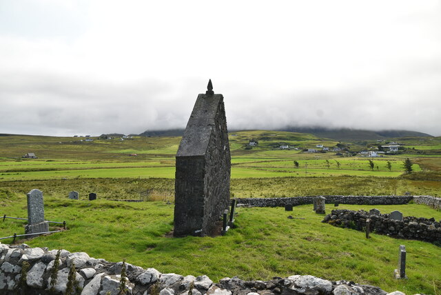
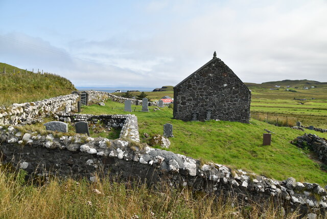
Ben Volovaig Images

Images are sourced within 2km of 57.700996/-6.3060992 or Grid Reference NG4376. Thanks to Geograph Open Source API. All images are credited.

Path from Rubha Hunish
Port Gobhlaig
Port Gobhlaig
St Moluag's Church
St Moluag's Church
Kilmaluag, Innlands
Kilmaluag, Innlands
Huts beside River Kilmaluag
Road to Balmaqueen
Road to Balmaqueen
Lower Aird
Lower Aird
Port Gobhlaig
Port Gobhlaig
Rocky beach, Port Gobhlaig
Lone cow
Lone cow
The Byre
The Byre
St Moluag's Church In the United Kingdom, a scheduled monument is a 'nationally important' archaeological site or historic building, given protection against unauthorised change.
There are about 20,000 scheduled monuments in England representing about 37,000 heritage assets. Of the tens of thousands of scheduled monuments in the UK, most are inconspicuous archaeological sites, but some are large ruins.
Wikipedia: <span class="nowrap"><a title="https://en.wikipedia.org/wiki/Scheduled_monument" rel="nofollow ugc noopener" href="https://en.wikipedia.org/wiki/Scheduled_monument">Link</a><img style="margin-left:2px;" alt="External link" title="External link - shift click to open in new window" src="https://s1.geograph.org.uk/img/external.png" width="10" height="10"/></span>
St Moluag's Church
In the United Kingdom, a scheduled monument is a 'nationally important' archaeological site or historic building, given protection against unauthorised change. There are about 20,000 scheduled monuments in England representing about 37,000 heritage assets. Of the tens of thousands of scheduled monuments in the UK, most are inconspicuous archaeological sites, but some are large ruins. Wikipedia: LinkExternal link
Kilmaluag Cemetery
Kilmaluag Cemetery
St Moluag's Church In the United Kingdom, a scheduled monument is a 'nationally important' archaeological site or historic building, given protection against unauthorised change.
There are about 20,000 scheduled monuments in England representing about 37,000 heritage assets. Of the tens of thousands of scheduled monuments in the UK, most are inconspicuous archaeological sites, but some are large ruins.
Wikipedia: <span class="nowrap"><a title="https://en.wikipedia.org/wiki/Scheduled_monument" rel="nofollow ugc noopener" href="https://en.wikipedia.org/wiki/Scheduled_monument">Link</a><img style="margin-left:2px;" alt="External link" title="External link - shift click to open in new window" src="https://s1.geograph.org.uk/img/external.png" width="10" height="10"/></span>
St Moluag's Church
In the United Kingdom, a scheduled monument is a 'nationally important' archaeological site or historic building, given protection against unauthorised change. There are about 20,000 scheduled monuments in England representing about 37,000 heritage assets. Of the tens of thousands of scheduled monuments in the UK, most are inconspicuous archaeological sites, but some are large ruins. Wikipedia: LinkExternal link
St Moluag's Church and graveyard In the United Kingdom, a scheduled monument is a 'nationally important' archaeological site or historic building, given protection against unauthorised change.
There are about 20,000 scheduled monuments in England representing about 37,000 heritage assets. Of the tens of thousands of scheduled monuments in the UK, most are inconspicuous archaeological sites, but some are large ruins.
Wikipedia: <span class="nowrap"><a title="https://en.wikipedia.org/wiki/Scheduled_monument" rel="nofollow ugc noopener" href="https://en.wikipedia.org/wiki/Scheduled_monument">Link</a><img style="margin-left:2px;" alt="External link" title="External link - shift click to open in new window" src="https://s1.geograph.org.uk/img/external.png" width="10" height="10"/></span>
St Moluag's Church and graveyard
In the United Kingdom, a scheduled monument is a 'nationally important' archaeological site or historic building, given protection against unauthorised change. There are about 20,000 scheduled monuments in England representing about 37,000 heritage assets. Of the tens of thousands of scheduled monuments in the UK, most are inconspicuous archaeological sites, but some are large ruins. Wikipedia: LinkExternal link
Farmland
Farmland
Kilmaluag cemetery
Kilmaluag cemetery
Southern shore of Port Gobhlaig
Show me another place!

Ben Volovaig is located at Grid Ref: NG4376 (Lat: 57.700996, Lng: -6.3060992)

Unitary Authority: Highland

Police Authority: Highlands and Islands

What 3 Words

///city.pollution.workforce. Near Uig, Highland

Related Wikis

Kilmaluag

Kilmaluag (Scottish Gaelic: Cill Moluaig, meaning St. Moluag's Cell, Church or Chapel) is a township made up of several small settlements on the most northerly...

Eilean Trodday

Eilean Trodday is an island in The Minch just off the north coast of the Trotternish peninsula of Skye in Scotland. Eilean Trodday is about 38 hectares...

Duntulm

Duntulm (Scottish Gaelic: Dùn Thuilm) is a township on the most northerly point of the Trotternish peninsula of the Isle of Skye made up of Shulista (north...

Hebridean Terrane

The Hebridean Terrane is one of the terranes that form part of the Caledonian orogenic belt in northwest Scotland. Its boundary with the neighbouring Northern...

Nearby Amenities

Located within 500m of 57.700996,-6.3060992
Ben Volovaig
Ele: 111
Natural: peak
Peak: hill
Lat/Long: 57.7010053/-6.3061091
Man Made: yes
Lat/Long: 57.6971105/-6.3066076
The data included in this document is from www.openstreetmap.org. The data is made available under ODbL.

Have you been to Ben Volovaig?

Leave your review of Ben Volovaig below (or comments, questions and feedback).