Beinn Fhada

Hill, Mountain in Ross-shire

Scotland

Beinn Fhada

Grimshader Salmon Farm Marine Harvest - Arachas Bhratan Griomshadair. Sea loch industry on the shores of Loch Griomsiadair.
Grimshader Salmon Farm Credit: Colin Smith

Beinn Fhada is a mountain located in Ross-shire, in the northern region of Scotland. Standing at a height of 931 meters (3054 feet), it is a popular destination for hikers and outdoor enthusiasts looking to experience the stunning Scottish Highlands.

The mountain is known for its rugged terrain, with steep slopes and rocky ridges that offer a challenging but rewarding climb. The summit of Beinn Fhada provides breathtaking views of the surrounding landscape, including the nearby peaks of the Torridon mountains and the picturesque Loch Carron.

The name Beinn Fhada translates to "long mountain" in Gaelic, reflecting the mountain's elongated shape and prominent position in the landscape. It is part of the Beinn Eighe National Nature Reserve, a protected area known for its diverse wildlife and stunning natural beauty.

Hikers can access Beinn Fhada via various walking routes that offer different levels of difficulty, making it suitable for both experienced climbers and beginners looking to explore the Scottish wilderness. Overall, Beinn Fhada is a must-visit destination for anyone seeking an adventure in the Scottish Highlands.

If you have any feedback on the listing, please let us know in the comments section below.
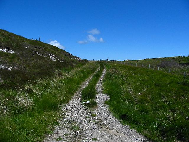
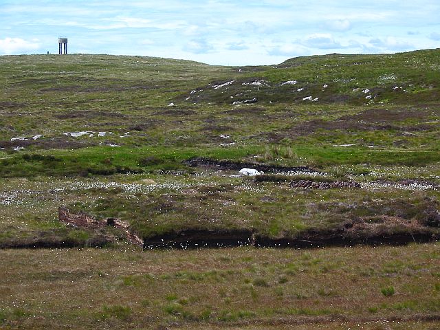
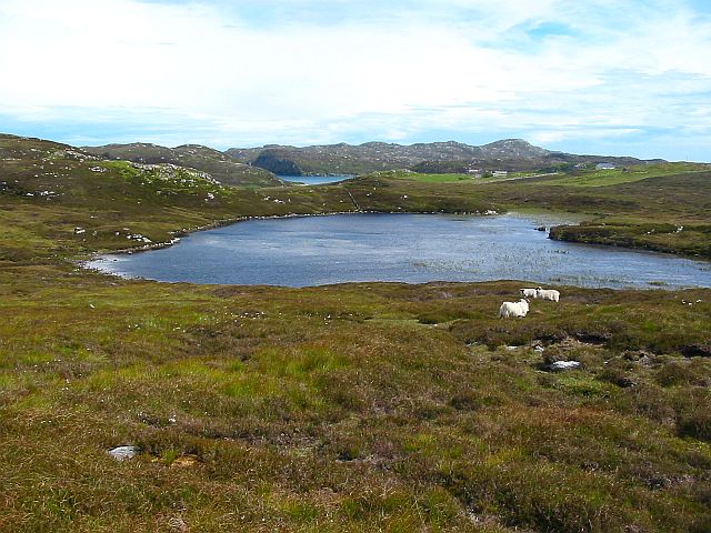
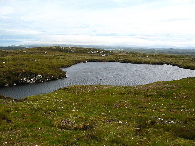
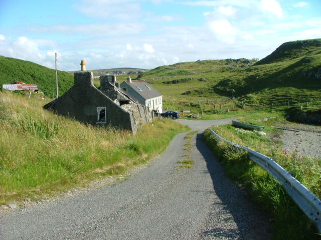
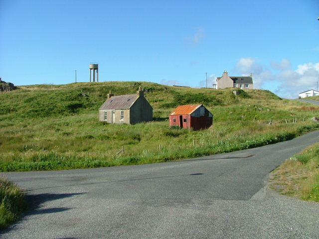
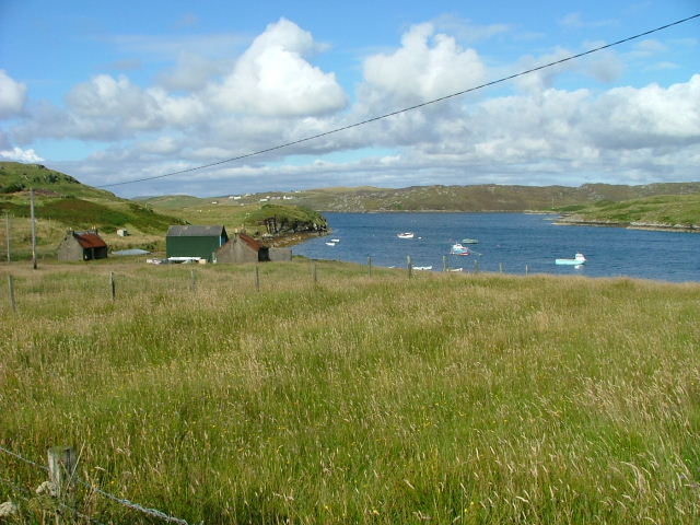
Beinn Fhada Images

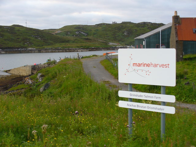
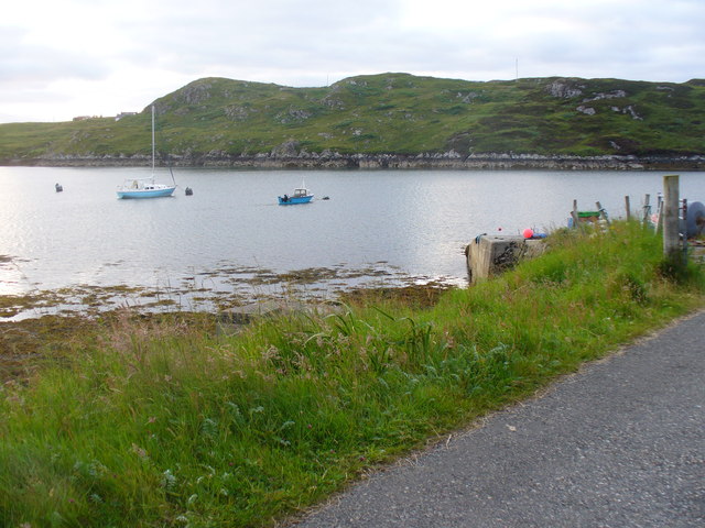
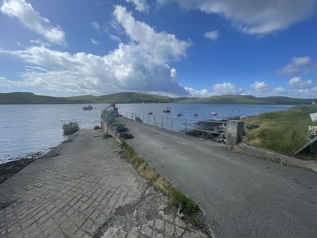
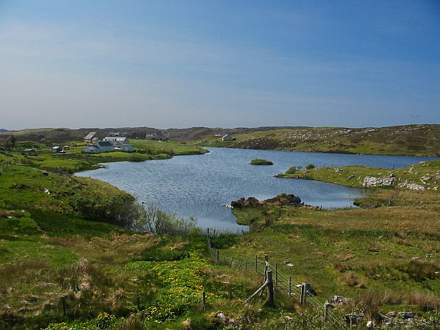
Images are sourced within 2km of 58.146665/-6.4317958 or Grid Reference NB3926. Thanks to Geograph Open Source API. All images are credited.

Grimshader Salmon Farm Marine Harvest - Arachas Bhratan Griomshadair. Sea loch industry on the shores of Loch Griomsiadair.
Grimshader Salmon Farm
Marine Harvest - Arachas Bhratan Griomshadair. Sea loch industry on the shores of Loch Griomsiadair.
Loch Griomsiadair Yacht and lobster boat moored in the sheltered sea loch at Grimshader which is also used for salmon farming.
Loch Griomsiadair
Yacht and lobster boat moored in the sheltered sea loch at Grimshader which is also used for salmon farming.
Crosbost Jetty Geocaching is a type of global treasure hunt of people looking for caches, or hidden stashes of objects. Geocaching may also be described as a series of hide-and-seek games, where hiders provide online clues for seekers. Seekers use global positioning system (GPS) devices to find hidden caches
Crosbost Jetty
Geocaching is a type of global treasure hunt of people looking for caches, or hidden stashes of objects. Geocaching may also be described as a series of hide-and-seek games, where hiders provide online clues for seekers. Seekers use global positioning system (GPS) devices to find hidden caches
Loch Grimshader Ordnance survey maps show two Loch Grimshaders! One is the sea loch as shown on  <a href="https://www.geograph.org.uk/gridref/NB3925">NB3925</a>; the second is this small freshwater loch in the village of Grimshader. It seems likely that the ordnance survey got it wrong many years ago when it first named the sea loch as Loch Grimshader. Its name was originally Loch Hurnavay.

This freshwater loch has a small island in it. Although I have found no archaeological reference to it, I suspect that the island is possibly a crannog, as it has a sunken overgrown interior within a ring of large stones and boulders. The loch is good for brown trout and eels.

The village, Grimshader, takes its name from the Norse, and means Grim's summer pasture.
Loch Grimshader
Ordnance survey maps show two Loch Grimshaders! One is the sea loch as shown on NB3925; the second is this small freshwater loch in the village of Grimshader. It seems likely that the ordnance survey got it wrong many years ago when it first named the sea loch as Loch Grimshader. Its name was originally Loch Hurnavay. This freshwater loch has a small island in it. Although I have found no archaeological reference to it, I suspect that the island is possibly a crannog, as it has a sunken overgrown interior within a ring of large stones and boulders. The loch is good for brown trout and eels. The village, Grimshader, takes its name from the Norse, and means Grim's summer pasture.
Grimshader's 'Peat Road' This track is used by local crofters to reach their flocks grazing on the open moorland, and by some villagers who cut peat for fuel.
Grimshader's 'Peat Road'
This track is used by local crofters to reach their flocks grazing on the open moorland, and by some villagers who cut peat for fuel.
Peat Cuttings, Bog Cotton and Water Tower The peat cuttings just right of centre in this photograph were, until recently, worked by Torcuil MacRath (Torquil MacRae), a Gaelic poet and author of some distinction who died late in 2006. A wonderful character and a good neighbour, it was our privilege and pleasure to count him as a friend during the few years my family and I have lived here. I now work these peat cuttings myself.

While much of the UK has suffered a wet spring and summer in 2007, the weather on the Isle of Lewis has been relatively dry. Perhaps this accounts for the fine crop of bog cotton seen on the moorland this year.

On the horizon is a water tower, no longer used.
Peat Cuttings, Bog Cotton and Water Tower
The peat cuttings just right of centre in this photograph were, until recently, worked by Torcuil MacRath (Torquil MacRae), a Gaelic poet and author of some distinction who died late in 2006. A wonderful character and a good neighbour, it was our privilege and pleasure to count him as a friend during the few years my family and I have lived here. I now work these peat cuttings myself. While much of the UK has suffered a wet spring and summer in 2007, the weather on the Isle of Lewis has been relatively dry. Perhaps this accounts for the fine crop of bog cotton seen on the moorland this year. On the horizon is a water tower, no longer used.
Loch nan Capull Loch nan Capull (the loch of the colt). A reasonably good trout loch.
Loch nan Capull
Loch nan Capull (the loch of the colt). A reasonably good trout loch.
Wrecked car at end of the peat road This car graces the far end of Grimshaders peat road. Although the tyres appear in good order, it is probable that the vehicle would fail its MoT on other counts.
Wrecked car at end of the peat road
This car graces the far end of Grimshaders peat road. Although the tyres appear in good order, it is probable that the vehicle would fail its MoT on other counts.
Loch Beinn Bhreac This loch is unusual in that no streams run into it, and no (surface) streams run out of it, as it is drained by an underground stream running through the peat. It is not believed to contain any fish.
Loch Beinn Bhreac
This loch is unusual in that no streams run into it, and no (surface) streams run out of it, as it is drained by an underground stream running through the peat. It is not believed to contain any fish.
Road end at Crosbost
Old croft buildings at Ranais
Grazing land at Ranais Overlooking Loch Griomsiadar.
Grazing land at Ranais
Overlooking Loch Griomsiadar.
Loch Liurboist at Crosbost Small boats at moorings in the sea loch while an ancient boat lies rotting on the grassy shore. View looking south-east to Tannaraidh and The Minch.
Loch Liurboist at Crosbost
Small boats at moorings in the sea loch while an ancient boat lies rotting on the grassy shore. View looking south-east to Tannaraidh and The Minch.
Fish Farming at Crosbost Salmon cages in the sea loch, Loch Liurboist.
Fish Farming at Crosbost
Salmon cages in the sea loch, Loch Liurboist.
Crossbost: the Free Church of Scotland The church occupies a lovely setting by the shore of Loch Leurbost.
Crossbost: the Free Church of Scotland
The church occupies a lovely setting by the shore of Loch Leurbost.
Crossbost: motorist’s warning at the jetty A warning as the road reaches the shore of Loch Leurbost at the jetty by the church.
Crossbost: motorist’s warning at the jetty
A warning as the road reaches the shore of Loch Leurbost at the jetty by the church.
Crossbost: the church and Loch Leurbost Looking east along the shore from the jetty, with <a href="https://www.geograph.org.uk/photo/3285118">NB3824 : Crossbost: the Free Church of Scotland</a> at the waterside.
Crossbost: the church and Loch Leurbost
Looking east along the shore from the jetty, with NB3824 : Crossbost: the Free Church of Scotland at the waterside.
Crossbost: a boat on the loch Looking across Loch Leurbost from the end of the jetty.
Crossbost: a boat on the loch
Looking across Loch Leurbost from the end of the jetty.
Show me another place!

Beinn Fhada is located at Grid Ref: NB3926 (Lat: 58.146665, Lng: -6.4317958)

Unitary Authority: Na h-Eileanan an Iar

Police Authority: Highlands and Islands

What 3 Words

///paying.prominent.commenced. Near Leurbost, Na h-Eileanan Siar

Related Wikis

North Lochs

North Lochs, (Scottish Gaelic: Ceann a Tuath nan Loch), an area in eastern Lewis, Outer Hebrides, Scotland, is named for the many lochans (small lochs...

Crossbost

Crossbost is a village on the Isle of Lewis in the parish of North Lochs, in the Outer Hebrides, Scotland. It is located approximately ten miles away...

Rainish Eilean Mòr

Rainish Eilean Mòr is an uninhabited island in Loch Orasaigh, north of the village of Leurbost in the area of South Lochs on the Isle of Lewis, Lewis and...

Leurbost

Leurbost (Scottish Gaelic: Liùrbost) is a village on the east coast of the Isle of Lewis in the Outer Hebrides of Scotland. It is approximately 6 miles...

Have you been to Beinn Fhada?

Leave your review of Beinn Fhada below (or comments, questions and feedback).