Cnoc na Mòine

Hill, Mountain in Inverness-shire

Scotland

Cnoc na Mòine

Looking down the valley of the Eynort River
Looking down the valley of the Eynort River Credit: Rod Allday

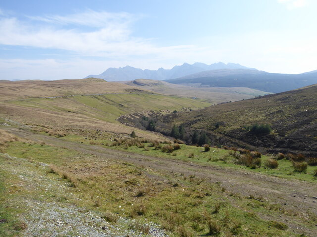
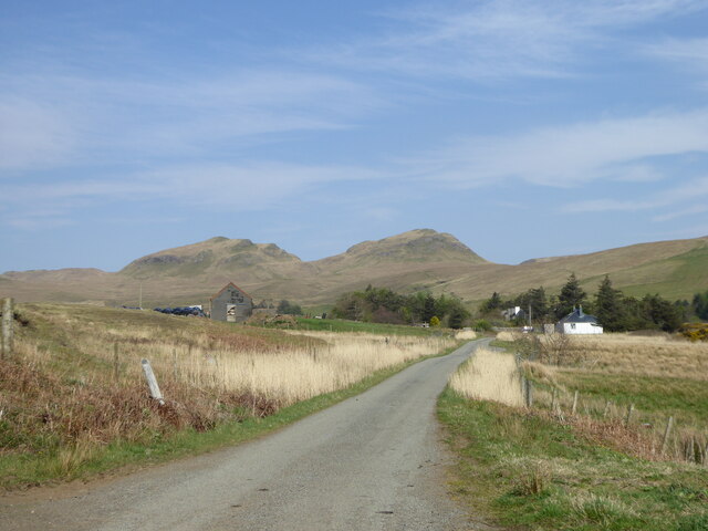
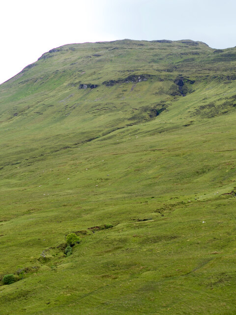
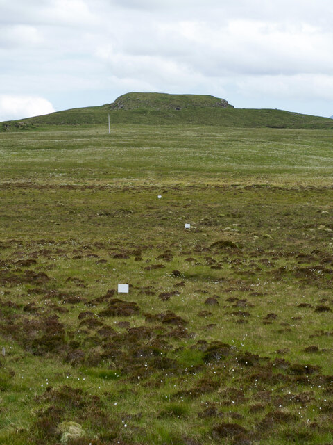
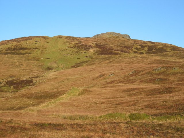
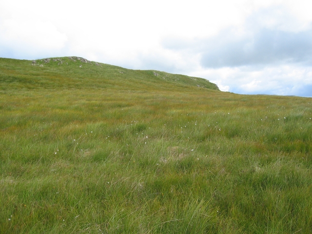
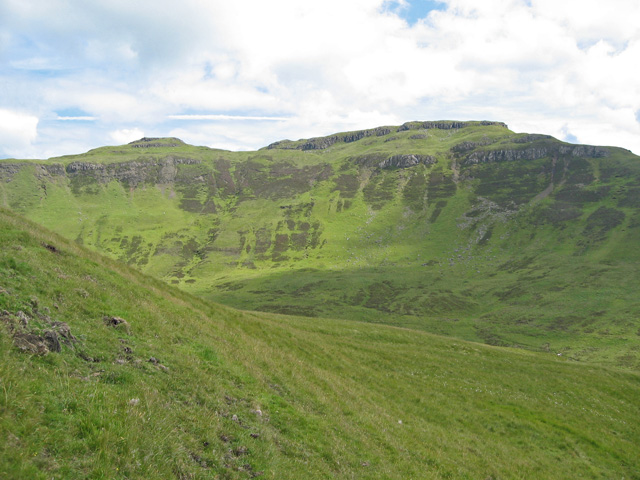
Cnoc na Mòine is a hill located in Inverness-shire, Scotland. It is part of the larger Monadhliath Mountains range and stands at an elevation of approximately 745 meters (2,444 feet). The hill is characterized by its rugged terrain, with steep slopes and rocky outcrops scattered throughout its landscape.

Cnoc na Mòine offers stunning panoramic views of the surrounding countryside, including the nearby Loch Ness and the Great Glen. The hill is a popular destination for hikers and outdoor enthusiasts looking to explore the natural beauty of the Scottish Highlands.

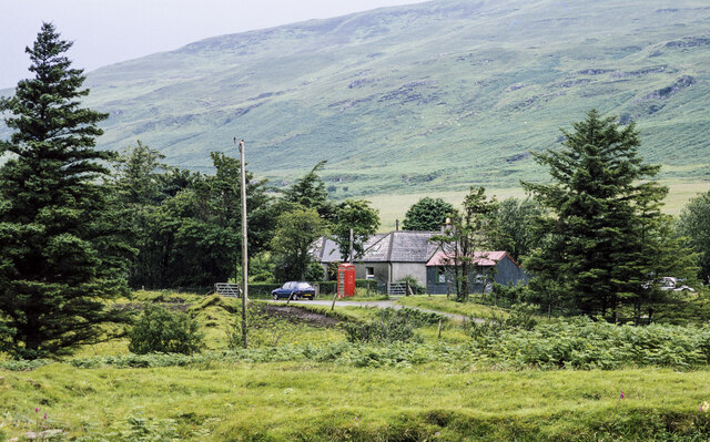
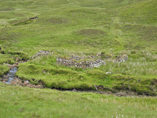
The hill is home to a variety of wildlife, including red deer, mountain hares, and various bird species. Visitors to Cnoc na Mòine may also come across remnants of ancient settlements, such as stone circles and burial mounds, which add to the historical significance of the area.

Overall, Cnoc na Mòine is a picturesque and rugged hill that offers a challenging yet rewarding hiking experience for those looking to immerse themselves in the stunning natural landscapes of Inverness-shire.

If you have any feedback on the listing, please let us know in the comments section below.

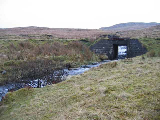
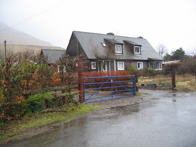
Cnoc na Mòine Images

Images are sourced within 2km of 57.270313/-6.3575636 or Grid Reference NG3728. Thanks to Geograph Open Source API. All images are credited.

Looking down the valley of the Eynort River
The road from the loch into Eynort
Buildings with telephone call box at Eynort in 1994 Some of the few buildings at the remote settlement of Eynort; there are more further along the road there to the left. The Eynort River flows unseen between the camera position and the buildings and telephone box.
The slopes beyond rise to Biod Mòr.
Buildings with telephone call box at Eynort in 1994
Some of the few buildings at the remote settlement of Eynort; there are more further along the road there to the left. The Eynort River flows unseen between the camera position and the buildings and telephone box. The slopes beyond rise to Biod Mòr.
Biod Mòr hillside
Biod Mòr hillside
Cnoc nan Capull But wait, there's more to this captivating scene! Adding to the intrigue are three mysterious markers, each measuring about a foot square. The burning question remains: what purpose do they serve?
Cnoc nan Capull
But wait, there's more to this captivating scene! Adding to the intrigue are three mysterious markers, each measuring about a foot square. The burning question remains: what purpose do they serve?
Cutting-edge communication
A bridge, a river, and hints of lazy bed cultivation
Eynort River in Spate passing through recently cleared forestry
Eynort River in Spate
passing through recently cleared forestry
Glen Eynort looking south towards Eynort village
Glen Eynort
looking south towards Eynort village
Allt a' Chairn as it flows below the road in Glen Eynort
Allt a' Chairn
as it flows below the road in Glen Eynort
Eynort River in Spate close to breaking its banks as it enters Eynort village
Eynort River in Spate
close to breaking its banks as it enters Eynort village
Forestry Housing in Eynort
Biod Mor The southern slopes of Biod Mor, viewed from Bealach na Croiche.
Biod Mor
The southern slopes of Biod Mor, viewed from Bealach na Croiche.
Ceaplaich Ceaplaich is really just the eastern shoulder of Stockval, the summit of which can be seen in the distance. There is evidence of long abandoned peat cutting here, visible in the middle ground on the left edge of this picture.
Ceaplaich
Ceaplaich is really just the eastern shoulder of Stockval, the summit of which can be seen in the distance. There is evidence of long abandoned peat cutting here, visible in the middle ground on the left edge of this picture.
Moorland above Glen Eynort Still some bog cotton hanging on here at the end of July.
Moorland above Glen Eynort
Still some bog cotton hanging on here at the end of July.
Cnoc Scarall Seen from Glen Brittle Forest
Cnoc Scarall
Seen from Glen Brittle Forest
Ruins in Kearra The ruins of a couple of old houses next to the upper reaches of the Eynort River. They are marked on the 1:25k map.
Ruins in Kearra
The ruins of a couple of old houses next to the upper reaches of the Eynort River. They are marked on the 1:25k map.
Clachan Gorma Looking across the glen of Clachan Gorma to the west side of Biod Mor.
Clachan Gorma
Looking across the glen of Clachan Gorma to the west side of Biod Mor.
Show me another place!

Cnoc na Mòine is located at Grid Ref: NG3728 (Lat: 57.270313, Lng: -6.3575636)

Unitary Authority: Highland

Police Authority: Highlands and Islands

What 3 Words

///vegetable.printers.requires. Near Carbost, Highland

Related Wikis

Eynort

Eynort (Scottish Gaelic: Aoineart) is a small remote hamlet, situated at the head of Loch Eynort, on the west coast of the Isle of Skye, Scottish Highlands...

Carbost, Loch Harport

Carbost (Scottish Gaelic: Càrrabost) is a village on the south-west shore of Loch Harport on the Minginish peninsula of the Isle of Skye in Scotland....
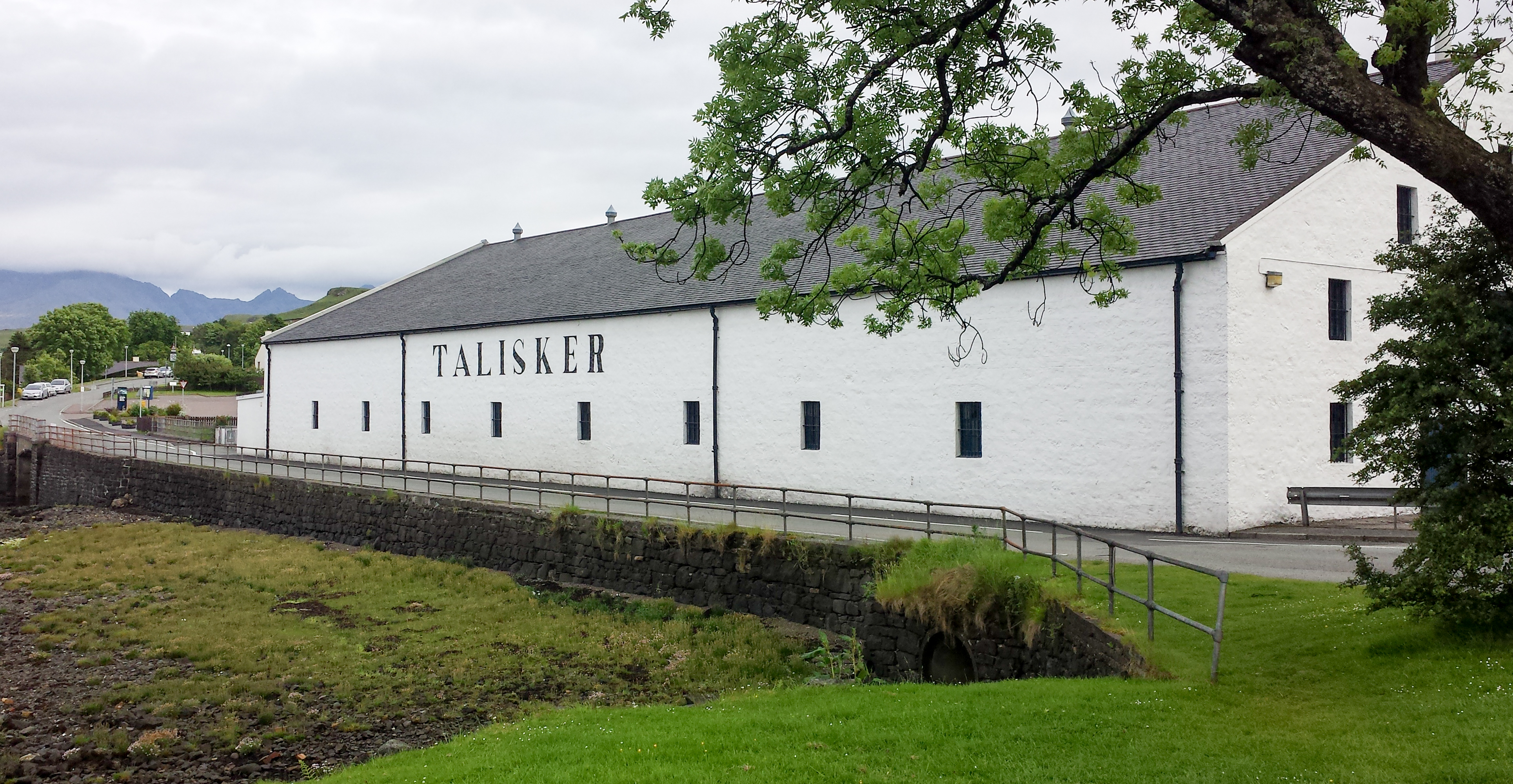
Talisker distillery

Talisker distillery is an island single malt Scotch whisky distillery based in Carbost, Scotland on the Minginish Peninsula on the Isle of Skye. The distillery...

Minginish

Minginish (Scottish Gaelic: Minginis) is a peninsula on the Isle of Skye in Scotland. It is situated on the west coast of the island and runs from Loch...

Have you been to Cnoc na Mòine?

Leave your review of Cnoc na Mòine below (or comments, questions and feedback).