Ballidon

Settlement in Derbyshire Derbyshire Dales

England

Ballidon

Diamond Jubilee Monument, Bradbourne For Queen Victoria's Jubilee.

Bradbourne is a Thankful Village, one of only 51 in the country not to have lost a man in the First World War, and the only one in Derbyshire. (Later research indicates there may have been 53 villages.)
Diamond Jubilee Monument, Bradbourne Credit: Chris Morgan

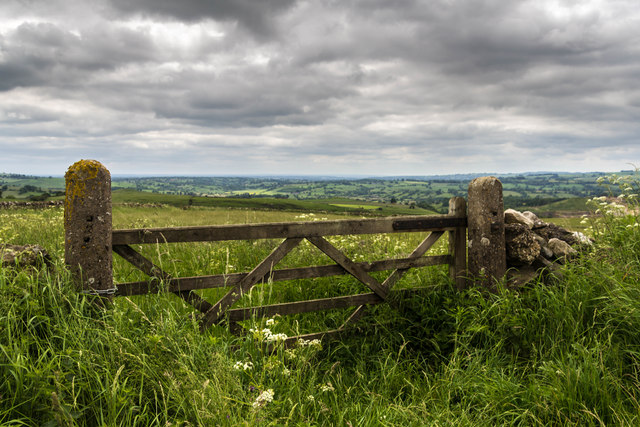
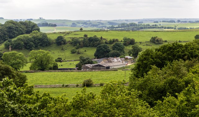
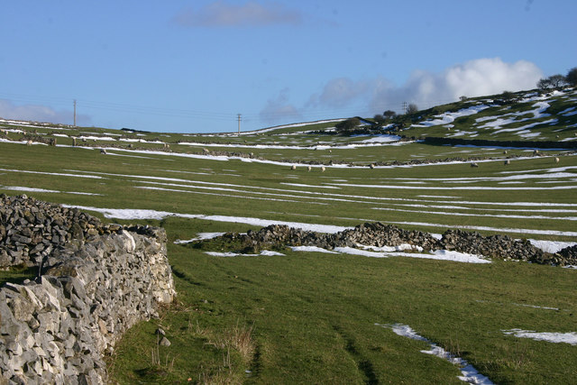
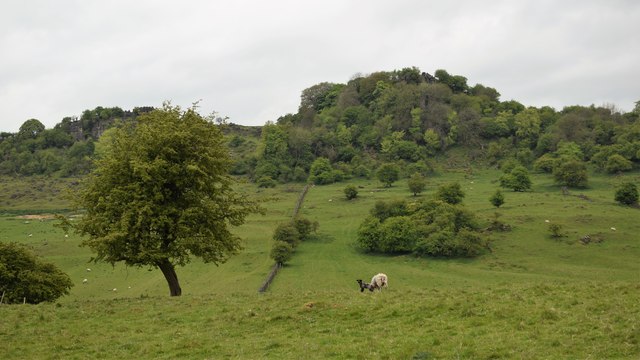
Ballidon is a small village located in the county of Derbyshire in England. Situated within the picturesque Peak District National Park, it lies approximately 6 miles south of Ashbourne and 12 miles north of Matlock. The village itself is nestled in a rural setting, surrounded by rolling hills and beautiful countryside.

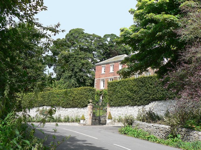
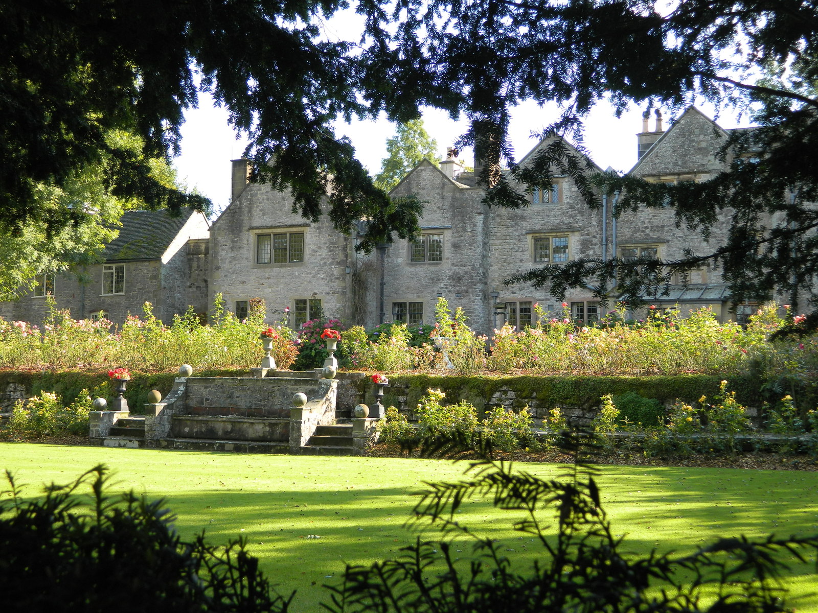
Ballidon has a population of just over 100 people, making it a close-knit community with a strong sense of local identity. The village is known for its quaint charm, featuring a cluster of traditional stone houses and cottages that add to its bucolic appeal. The nearby St. James' Church, dating back to the 12th century, is a prominent landmark within the village.

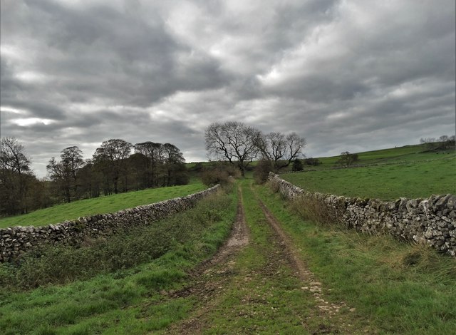
The area surrounding Ballidon offers numerous opportunities for outdoor activities and exploration. The village is located near popular walking trails, including the Limestone Way and the Tissington Trail, which attract hikers and cyclists throughout the year. It is also within close proximity to Carsington Water, a large reservoir known for its sailing, windsurfing, and wildlife.

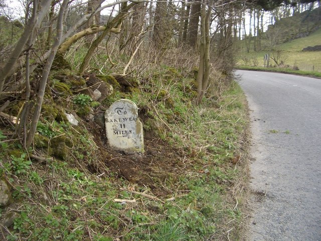
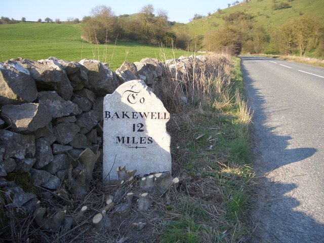
While Ballidon itself lacks significant amenities, the nearby towns of Ashbourne and Matlock provide access to a wider range of services, including shops, schools, and healthcare facilities. The village is well-connected by road, with the A515 passing through nearby Ashbourne, providing easy access to major cities such as Derby and Nottingham.

Overall, Ballidon offers a peaceful and idyllic rural lifestyle, making it an attractive destination for those seeking a slower pace of life amidst the natural beauty of the Peak District.

If you have any feedback on the listing, please let us know in the comments section below.
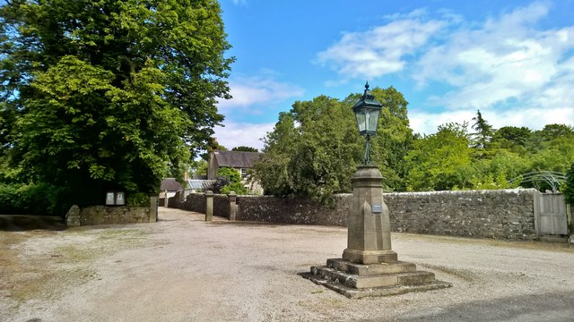
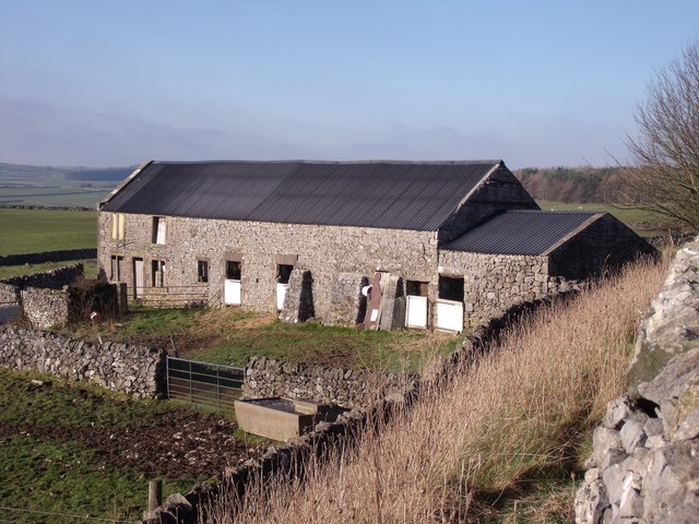
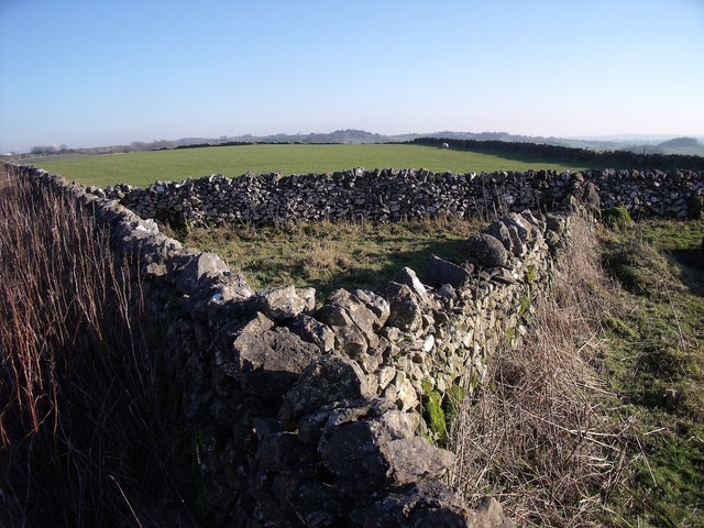
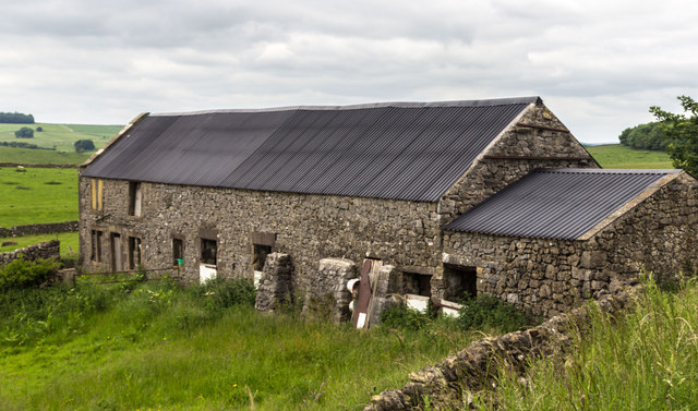
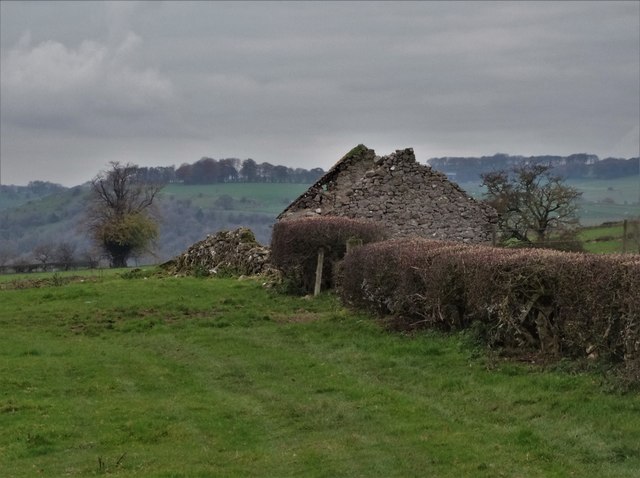
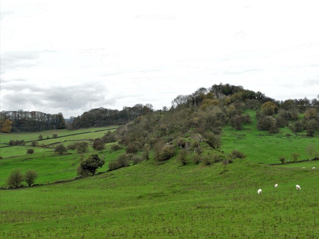
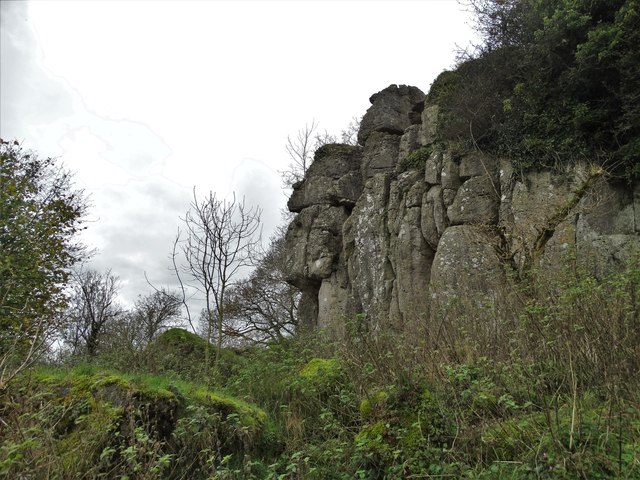
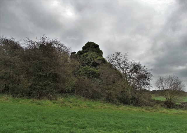
Ballidon Images

Images are sourced within 2km of 53.088815/-1.697413 or Grid Reference SK2054. Thanks to Geograph Open Source API. All images are credited.

Diamond Jubilee Monument, Bradbourne For Queen Victoria's Jubilee.

Bradbourne is a Thankful Village, one of only 51 in the country not to have lost a man in the First World War, and the only one in Derbyshire. (Later research indicates there may have been 53 villages.)
Diamond Jubilee Monument, Bradbourne
For Queen Victoria's Jubilee. Bradbourne is a Thankful Village, one of only 51 in the country not to have lost a man in the First World War, and the only one in Derbyshire. (Later research indicates there may have been 53 villages.)
Daisy Bank On the 1880 Ordnance Survey Map, this is marked as Ballidonmoor Barn.
Daisy Bank
On the 1880 Ordnance Survey Map, this is marked as Ballidonmoor Barn.
Triangular sheepfold This sheepfold has been here since at least 1880, when it appeared on Ordnance Survey maps.
Triangular sheepfold
This sheepfold has been here since at least 1880, when it appeared on Ordnance Survey maps.
Daisy Bank Barn at Daisy Bank seen from the High Peak Trail.
Daisy Bank
Barn at Daisy Bank seen from the High Peak Trail.
High Peak Trail Gate alongside the High Peak Trail.
High Peak Trail
Gate alongside the High Peak Trail.
Hoe Grange Hoe Grange Farm.
Hoe Grange
Hoe Grange Farm.
Snow in the fields The drystone walls help frame the picture of snow in the fields near Brassington.
Snow in the fields
The drystone walls help frame the picture of snow in the fields near Brassington.
Rainster rocks. Viewed from Pasture lane.
Rainster rocks.
Viewed from Pasture lane.
All Saints church at Ballidon. Seen from the Limestone way footpath.
All Saints church at Ballidon.
Seen from the Limestone way footpath.
The Victorian Pump House - Roystone Grange The purpose of this nineteenth century pump house was to create compressed air that could be pumped along pipes to nearby quarries to assist in the cutting of blocks of limestone that were used in the construction of The Cromford and High Peak Railway.
The Victorian Pump House - Roystone Grange
The purpose of this nineteenth century pump house was to create compressed air that could be pumped along pipes to nearby quarries to assist in the cutting of blocks of limestone that were used in the construction of The Cromford and High Peak Railway.
Ruined farm building west of The Beeches And north of Bryn Hall Farm by minor the road between Brassington and Bradbourne.
Ruined farm building west of The Beeches
And north of Bryn Hall Farm by minor the road between Brassington and Bradbourne.
View towards Rainster Rocks
At Rainster Rocks The rocks overlook the site of a Romano-British settlement and may well have been the focus of human habitation long before that.
At Rainster Rocks
The rocks overlook the site of a Romano-British settlement and may well have been the focus of human habitation long before that.
Pinder's Rock I noticed Pinder's Rock marked on my OS map and as I was passing by I went to  investigate. Largely, hidden by foliage, including ivy, the hard limestone outcrop is quite substantial - perhaps eighteen feet at its tallest point. I have no idea how the rock got its name. Very close by there is another less substantial rock that a previous visitor believed to be Pinder's Rock. I must admit that I almost made the same mistake. <a title="https://www.geograph.org.uk/photo/366929" href="https://www.geograph.org.uk/photo/366929">Link</a>
Pinder's Rock
I noticed Pinder's Rock marked on my OS map and as I was passing by I went to investigate. Largely, hidden by foliage, including ivy, the hard limestone outcrop is quite substantial - perhaps eighteen feet at its tallest point. I have no idea how the rock got its name. Very close by there is another less substantial rock that a previous visitor believed to be Pinder's Rock. I must admit that I almost made the same mistake. Link
Track to Hoe Grange
Track to Hoe Grange
Old Milestone by the B5056, north of Nut Wood Carved stone post by the B5056, in parish of BRASSINGTON (DERBYSHIRE DALES District), a mile South West of Longcliffe, in chicane in road, on the verge against stone wall, on North side of road. Bakewell Wedge, erected by the Haddon & Bentley turnpike trust in the 19th century. 

Inscription reads:-
: To / BAKEWELL / 11 / MILES : : To / ASHBOURNE / 6 / MILES :  

Milestone Society National ID: DE_BKAB11.
Old Milestone by the B5056, north of Nut Wood
Carved stone post by the B5056, in parish of BRASSINGTON (DERBYSHIRE DALES District), a mile South West of Longcliffe, in chicane in road, on the verge against stone wall, on North side of road. Bakewell Wedge, erected by the Haddon & Bentley turnpike trust in the 19th century. Inscription reads:- : To / BAKEWELL / 11 / MILES : : To / ASHBOURNE / 6 / MILES : Milestone Society National ID: DE_BKAB11.
Old Milestone by the B5056, South of Hipley Hill Carved stone post by the B5056, in parish of BALLIDON (DERBYSHIRE DALES District), Ashbourne Road, South West of Hipley Hill, back to stone wall, on North West side of road. Bakewell Wedge, erected by the Haddon & Bentley turnpike trust in the 19th century. Visible in 2023 <span class="nowrap"><a title="https://www.facebook.com/groups/248287263516088/permalink/894598355551639/?app=fbl" rel="nofollow ugc noopener" href="https://www.facebook.com/groups/248287263516088/permalink/894598355551639/?app=fbl">Link</a><img style="margin-left:2px;" alt="External link" title="External link - shift click to open in new window" src="https://s1.geograph.org.uk/img/external.png" width="10" height="10"/></span>

Inscription reads:-
: To / ASHBOURN / 5 / MILES : : To / BAKEWELL / 12 / MILES :

Grade II Listed. List Entry Number:1109340
<span class="nowrap"><a title="https://historicengland.org.uk/listing/the-list/list-entry/1109340" rel="nofollow ugc noopener" href="https://historicengland.org.uk/listing/the-list/list-entry/1109340">Link</a><img style="margin-left:2px;" alt="External link" title="External link - shift click to open in new window" src="https://s1.geograph.org.uk/img/external.png" width="10" height="10"/></span>

Milestone Society National ID: DE_BKAB12.
Old Milestone by the B5056, South of Hipley Hill
Carved stone post by the B5056, in parish of BALLIDON (DERBYSHIRE DALES District), Ashbourne Road, South West of Hipley Hill, back to stone wall, on North West side of road. Bakewell Wedge, erected by the Haddon & Bentley turnpike trust in the 19th century. Visible in 2023 LinkExternal link Inscription reads:- : To / ASHBOURN / 5 / MILES : : To / BAKEWELL / 12 / MILES : Grade II Listed. List Entry Number:1109340 LinkExternal link Milestone Society National ID: DE_BKAB12.
Ballidon Quarry Ballidon Quarry is a large limestone quaryy that is gradually eating away the complete hillside. According to the website it is owned and run by Tarmac.
Ballidon Quarry
Ballidon Quarry is a large limestone quaryy that is gradually eating away the complete hillside. According to the website it is owned and run by Tarmac.
Show me another place!

Ballidon is located at Grid Ref: SK2054 (Lat: 53.088815, Lng: -1.697413)

Administrative County: Derbyshire

District: Derbyshire Dales

Police Authority: Derbyshire

What 3 Words

///topping.passenger.tulip. Near Newhaven, Derbyshire

Nearby Locations

Ballidon

Related Wikis

Nearby Amenities

Located within 500m of 53.088815,-1.697413
Ballidon
Is In: Derbyshire, England, UK
Place: village
Wikidata: Q2786495
Wikipedia: en:Ballidon
Lat/Long: 53.0886505/-1.6980576
Barrier: stile
Lat/Long: 53.0863935/-1.6982852
Barrier: stile
Material: wood
Stile: stepover
Lat/Long: 53.0863609/-1.7009602
Barrier: stile
Material: stone
Source: survey;gps
Stile: squeezer
Lat/Long: 53.0866967/-1.6979207
Description: The Wirksworth Team Ministry information board
Ele: 187.3411865
Tourism: information
Lat/Long: 53.0888257/-1.6971784
Post Box
Ele: 184.2169189
Operator: Royal Mail
Ref: DE6 824
Lat/Long: 53.0896307/-1.6987207
Barrier: stile
Steps: 2
Stile: stepover
Lat/Long: 53.0916632/-1.7006212
Barrier: stile
Stile: squeezer
Lat/Long: 53.0916906/-1.7026843
Barrier: stile
Material: stone
Source: survey;gps
Stile: squeezer
Lat/Long: 53.084568/-1.6957989
Barrier: stile
Material: stone
Source: survey;gps
Stile: squeezer
Lat/Long: 53.0876937/-1.6973501
Barrier: stile
Material: stone
Stile: squeezer
Lat/Long: 53.0871834/-1.6938641
Barrier: cattle_grid
Bicycle: yes
Foot: yes
Lat/Long: 53.0889566/-1.6947553
The data included in this document is from www.openstreetmap.org. The data is made available under ODbL.

Have you been to Ballidon?

Leave your review of Ballidon below (or comments, questions and feedback).