Cnoc an t-Sionnaich
Hill, Mountain in Argyllshire
Scotland
Cnoc an t-Sionnaich
Cnoc an t-Sionnaich is a prominent hill located in Argyllshire, Scotland. Situated in the western part of the country, it is part of the picturesque Scottish Highlands. The hill stands tall at an elevation of approximately 450 meters (1476 feet) above sea level, offering breathtaking panoramic views of the surrounding landscape.
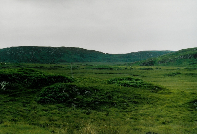
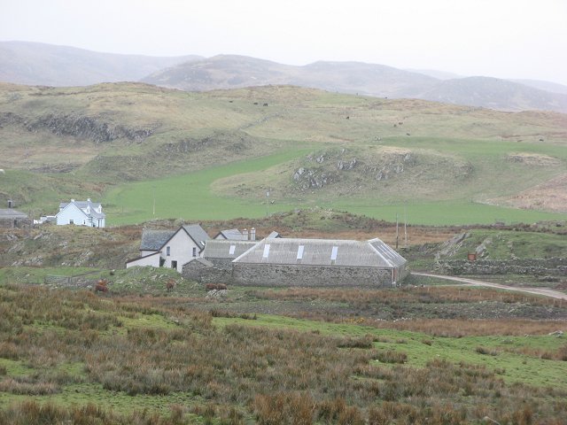
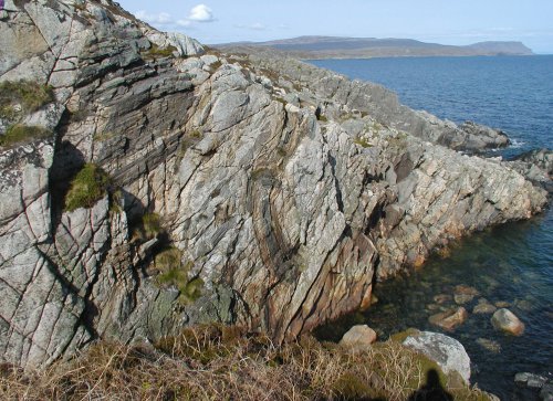
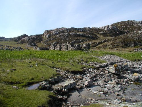
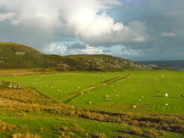
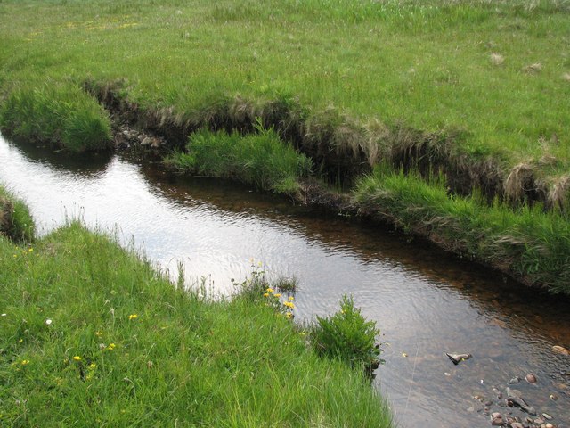
Cnoc an t-Sionnaich is known for its rugged terrain, characterized by steep slopes and rocky outcrops. The hill is covered in lush green vegetation, including heather, grasses, and patches of woodland. The diverse flora and fauna found in this area make it a popular spot for nature enthusiasts and hikers.
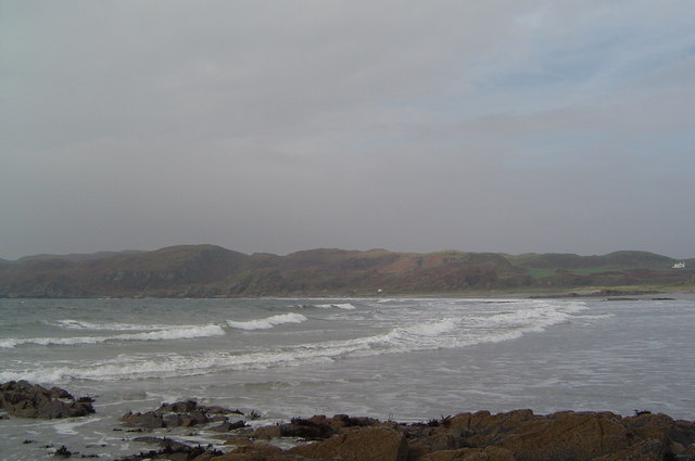
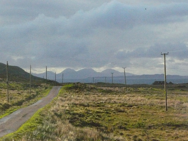
The summit of Cnoc an t-Sionnaich provides a commanding view of the surrounding countryside, including Loch Fyne and the Argyll Forest Park. On clear days, it is possible to see as far as the Isle of Arran and the Mull of Kintyre.
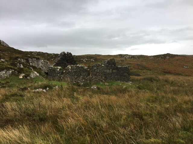
The hill is also rich in history and folklore. It is said to have been a site of ancient settlements and has been associated with various legends and tales. Local folklore tells stories of mythical creatures and supernatural encounters on the hill.
Cnoc an t-Sionnaich offers a unique opportunity for outdoor enthusiasts to explore the Scottish Highlands and immerse themselves in its natural beauty and rich heritage. Whether hiking to the summit or simply enjoying the stunning vistas from the base, visitors to Cnoc an t-Sionnaich are sure to be captivated by its charm and allure.
If you have any feedback on the listing, please let us know in the comments section below.
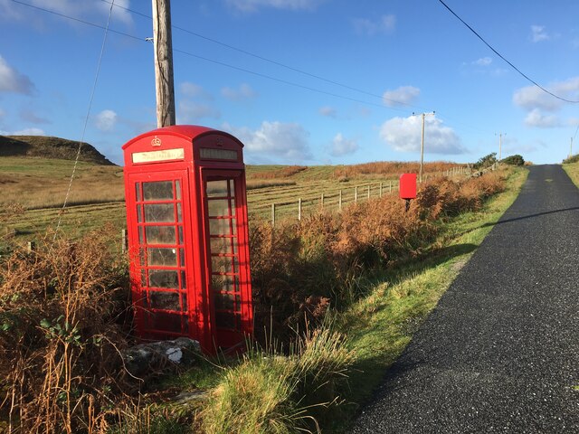
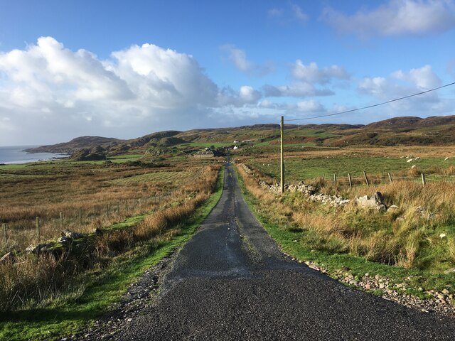
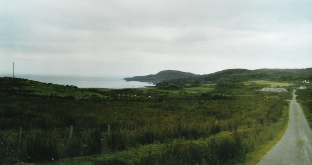
Cnoc an t-Sionnaich Images
Images are sourced within 2km of 56.290114/-6.2564087 or Grid Reference NM3618. Thanks to Geograph Open Source API. All images are credited.

Cnoc an t-Sionnaich is located at Grid Ref: NM3618 (Lat: 56.290114, Lng: -6.2564087)
Unitary Authority: Argyll and Bute
Police Authority: Argyll and West Dunbartonshire
What 3 Words
///loopholes.become.tutored. Near Fionnphort, Argyll & Bute
Nearby Locations
Related Wikis

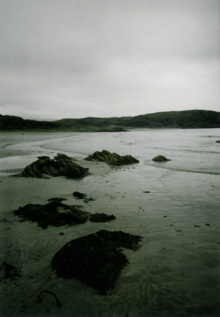
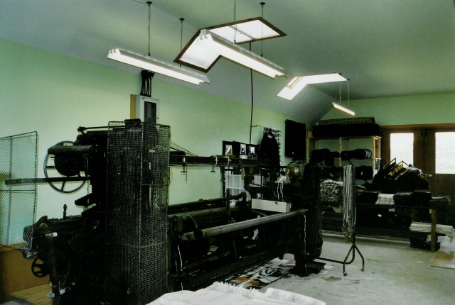
Ardalanish
Ardalanish (Scottish Gaelic: Àird Dealanais) is a village on the Isle of Mull in Argyll and Bute, Scotland. It is now an organic farm and weaving mill...

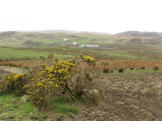
Knocknafenaig
Knocknafenaig (Scottish Gaelic: Cnoc na Fennaig) is a ruined township on the Isle of Mull, Scotland. Located in the south-western portion of the island...

Uisken
Uisken (Scottish Gaelic: Uisgean, meaning "water-bay") is a settlement on a sandy bay on the Ross of Mull in the south of the Isle of Mull, on the west...

Ross of Mull
The Ross of Mull (Scottish Gaelic: An Ros Mhuileach) is the largest peninsula of the Isle of Mull, about 28 kilometres (17 mi) long, and makes up the south...

Suidhe
Suidhe (Scottish Gaelic: Suidhe) is a ruined township located on the southwestern peninsula of the Isle of Mull, Scotland. It lies just over 1 km to the...

Bunessan
Bunessan (Scottish Gaelic: Bun Easain) is a small village on the Ross of Mull in the south-west of the Isle of Mull, off the west coast of Scotland. The...

Ardtun
Ardtun (Scottish Gaelic: Àird Tunna) is a settlement on the Isle of Mull, in Argyll and Bute, Scotland. Ardtun is within the parish of Kilfinichen and...
Camas Tuath
Camas Tuath (Scottish Gaelic: north bay) is an inlet bay on the Ross of Mull. The bay has two small tidal islands and two Quarrymans' Cottages which the...
Nearby Amenities
Located within 500m of 56.290114,-6.2564087Have you been to Cnoc an t-Sionnaich?
Leave your review of Cnoc an t-Sionnaich below (or comments, questions and feedback).