Cithis Bheag

Hill, Mountain in Ross-shire

Scotland

Cithis Bheag

Port Griogaspuil Always marked on OS maps right back to the very first in 1858, but very little to see other than the ruins of old quays and the low walls of three buildings. Rumoured to be the site of a mill, but not much of a stream to turn a mill wheel
Port Griogaspuil Credit: Richard Barrett

Cithis Bheag is a hill located in Ross-shire, Scotland. It is part of the larger Cithis range of hills, which are known for their rugged and remote terrain. Cithis Bheag stands at an elevation of approximately 1,500 feet (457 meters) above sea level, making it a popular destination for hikers and outdoor enthusiasts looking for a challenging climb.

The hill is characterized by its steep slopes and rocky outcrops, which provide stunning views of the surrounding countryside. The terrain is largely covered in heather and grasses, with scattered patches of woodland adding to the natural beauty of the area.

Cithis Bheag is home to a variety of wildlife, including red deer, grouse, and various species of birds. It is also known for its historical significance, with evidence of ancient settlements and burial sites scattered throughout the hillside.

Overall, Cithis Bheag offers a unique and rewarding hiking experience for those willing to tackle its challenging terrain and immerse themselves in the natural beauty of the Scottish Highlands.

If you have any feedback on the listing, please let us know in the comments section below.
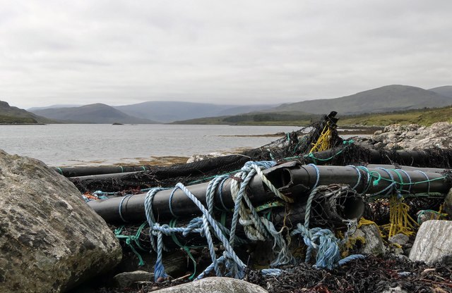
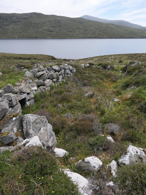
Cithis Bheag Images

Images are sourced within 2km of 58.03189/-6.6783922 or Grid Reference NB2314. Thanks to Geograph Open Source API. All images are credited.

Port Griogaspuil Always marked on OS maps right back to the very first in 1858, but very little to see other than the ruins of old quays and the low walls of three buildings. Rumoured to be the site of a mill, but not much of a stream to turn a mill wheel
Port Griogaspuil
Always marked on OS maps right back to the very first in 1858, but very little to see other than the ruins of old quays and the low walls of three buildings. Rumoured to be the site of a mill, but not much of a stream to turn a mill wheel
Debris on the shore of Loch Seaforth/Loch Shiphoirt, Isle of Lewis I assume the debris has drifted from a fish farm.
Debris on the shore of Loch Seaforth/Loch Shiphoirt, Isle of Lewis
I assume the debris has drifted from a fish farm.
Township remains, Baile Nan Cnocan Fraoich, Isle of Lewis Although classified as a township at <span class="nowrap"><a title="https://canmore.org.uk/site/133934" rel="nofollow ugc noopener" href="https://canmore.org.uk/site/133934">Link</a><img style="margin-left:2px;" alt="External link" title="External link - shift click to open in new window" src="https://s1.geograph.org.uk/img/external.png" width="10" height="10"/></span> , the settlement only seems to have had three buildings.  One of the others can be seen at <a href="https://www.geograph.org.uk/photo/5858754">NB2113 : Township remains, Baile Nan Cnocan Fraoich, Isle of Lewis</a>.
Township remains, Baile Nan Cnocan Fraoich, Isle of Lewis
Although classified as a township at LinkExternal link , the settlement only seems to have had three buildings. One of the others can be seen at NB2113 : Township remains, Baile Nan Cnocan Fraoich, Isle of Lewis.
Loch a' Chorra Chnoic, Isle of Lewis According to the OS Name Book of 1848-1852, Loch a' Chorra Chnoic means Steep Hill Loch.
Loch a' Chorra Chnoic, Isle of Lewis
According to the OS Name Book of 1848-1852, Loch a' Chorra Chnoic means Steep Hill Loch.
Salt marsh by Loch Seaforth/Loch Shiphoirt, Isle of Lewis The Aline Community Woodland can be seen on the right and in the centre of the horizon is the unnamed hill on Eilean Shìophoirt.
Salt marsh by Loch Seaforth/Loch Shiphoirt, Isle of Lewis
The Aline Community Woodland can be seen on the right and in the centre of the horizon is the unnamed hill on Eilean Shìophoirt.
Dorus Beag, Loch Seaforth/Loch Shiphoirt, Isle of Lewis Dorus Beag is the channel between the shore and a rock called Sgeir Liath which was under water at the time the photo was taken.  Dorus Beag means Little Door.
Dorus Beag, Loch Seaforth/Loch Shiphoirt, Isle of Lewis
Dorus Beag is the channel between the shore and a rock called Sgeir Liath which was under water at the time the photo was taken. Dorus Beag means Little Door.
Shieling mound, Rubha Àirigh an t-Sruth, Loch Seaforth/Loch Shiphoirt, Isle of Lewis According to the OS Name Book of 1848-1852, Rubha Àirigh an t-Sruth means The Streams Shieling's point.
Shieling mound, Rubha Àirigh an t-Sruth, Loch Seaforth/Loch Shiphoirt, Isle of Lewis
According to the OS Name Book of 1848-1852, Rubha Àirigh an t-Sruth means The Streams Shieling's point.
Building remains by Loch Seaforth/Loch Shiphoirt, Isle of Lewis The 1st Edition OS map, surveyed in 1850-53, shows two buildings, already unroofed at that time.
Building remains by Loch Seaforth/Loch Shiphoirt, Isle of Lewis
The 1st Edition OS map, surveyed in 1850-53, shows two buildings, already unroofed at that time.
Tob Sgeir nan Radan, Loch Seaforth/Loch Shiphoirt, Isle of Lewis The OS Name Book of 1848-52 describes Tob Sgeir nan Radan as a small bay or harbour. The name means Rat's Rock Bay.
Tob Sgeir nan Radan, Loch Seaforth/Loch Shiphoirt, Isle of Lewis
The OS Name Book of 1848-52 describes Tob Sgeir nan Radan as a small bay or harbour. The name means Rat's Rock Bay.
Ruined farmhouse, Tota nan Scalag by Loch Seaforth/Loch Shìophoirt, Isle of Lewis The farmhouse was already in ruins at the time of the compilation of the OS Name Book in 1848-52.
Ruined farmhouse, Tota nan Scalag by Loch Seaforth/Loch Shìophoirt, Isle of Lewis
The farmhouse was already in ruins at the time of the compilation of the OS Name Book in 1848-52.
Moorland between  Guaineamol and Sidhean an Airgid
Moorland between Guaineamol and Sidhean an Airgid
An inlet on the shore of Loch Seaforth
Ruined blackhouses on the shore of Loch Seaforth
Strath Ban Moorland between Cithis Bheag and Sidhean An Airgrid. Allt Airagh  Dhomhnuill Charm can be seen on the side of the hill.
Strath Ban
Moorland between Cithis Bheag and Sidhean An Airgrid. Allt Airagh Dhomhnuill Charm can be seen on the side of the hill.
Small unnamed lochan above Strath Ban
An unnamed lochan on Cithis Bheag
Moorland looking towards Loch Shromois
Show me another place!

Cithis Bheag is located at Grid Ref: NB2314 (Lat: 58.03189, Lng: -6.6783922)

Unitary Authority: Na h-Eileanan an Iar

Police Authority: Highlands and Islands

What 3 Words

///expectant.press.rapport. Near Tarbert, Na h-Eileanan Siar

Related Wikis

Airidh a' Bhruaich

Airidh a' Bhruaich (Arivruaich - anglicised) is a scattered crofting township in the South Lochs district of the Isle of Lewis in the Outer Hebrides of...

Seaforth Island

Seaforth Island (Scottish Gaelic: Eilean Shìphoirt/Shìophoirt or Mulag) is an uninhabited island in the Outer Hebrides of Scotland. Unlike many other...

Ardvourlie Castle

Ardvourlie Castle is a 19th-century country house on Harris, one of the Western Isles off the north-west coast of Scotland. The house was built beside...

Park, Lewis

Park (Scottish Gaelic: A' Phàirc), also known as South Lochs, is a huge area of land connected to the rest of Lewis only by a narrow neck between Loch...

Nearby Amenities

Located within 500m of 58.03189,-6.6783922
Cithis Bheag
Natural: peak
Source: OS7
Lat/Long: 58.0328857/-6.6800934
The data included in this document is from www.openstreetmap.org. The data is made available under ODbL.

Have you been to Cithis Bheag?

Leave your review of Cithis Bheag below (or comments, questions and feedback).