Cnoc a' Gèarraidh
Hill, Mountain in Ross-shire
Scotland
Cnoc a' Gèarraidh

Cnoc a' Gèarraidh, located in Ross-shire, Scotland, is a stunning hill/mountain that offers breathtaking views and a rich natural environment. Standing at an elevation of approximately 450 meters (1,480 feet), it is a popular destination for hikers, nature enthusiasts, and photographers.
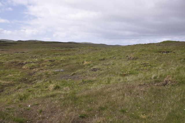
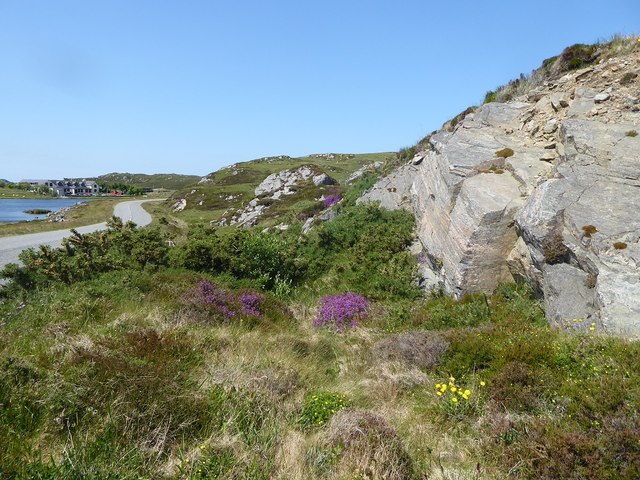
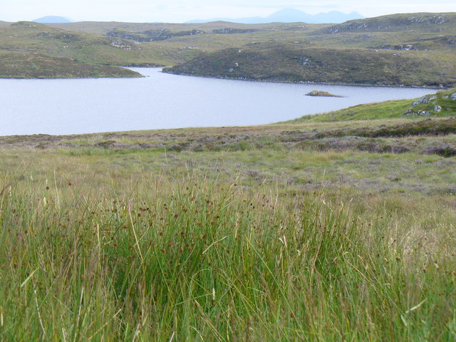
The hill is characterized by its rolling terrain and lush greenery, adorned with a variety of wildflowers and plant species. As visitors ascend the hill, they are greeted with panoramic vistas of the surrounding landscape, including the picturesque lochs and glens that dot the region.
Cnoc a' Gèarraidh is home to a diverse range of wildlife, making it a haven for animal lovers. Red deer, mountain hares, and golden eagles are often spotted in the area, providing a unique opportunity for wildlife observation and photography.
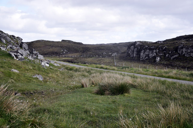
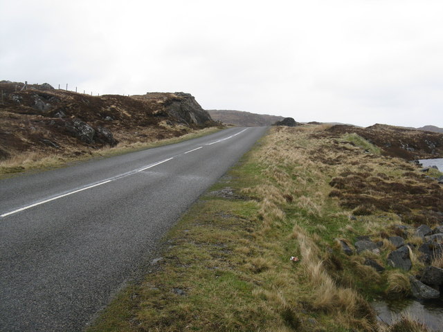
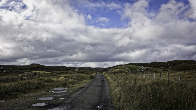
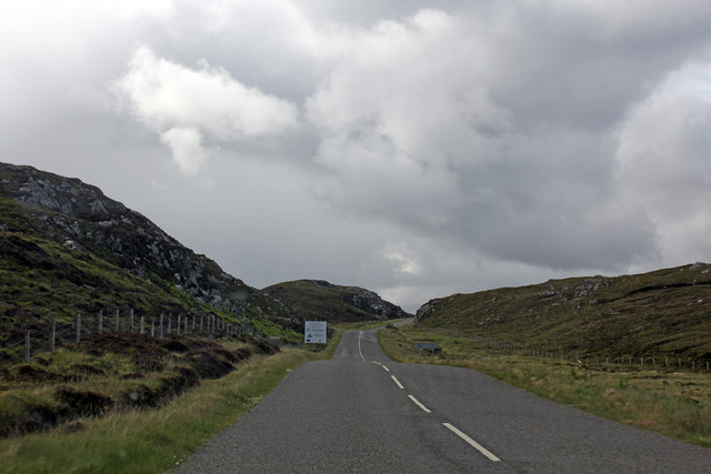
For those seeking outdoor adventures, the hill offers various walking and hiking trails, suited for all skill levels. The ascent to the summit is moderately challenging, with some steeper sections, but the effort is rewarded with unparalleled views of the Scottish Highlands.
Aside from its natural beauty, Cnoc a' Gèarraidh also holds historical significance. Ruins of ancient settlements and stone circles can be found on the hill, adding an element of intrigue and cultural exploration to the experience.
In summary, Cnoc a' Gèarraidh is a majestic hill/mountain in Ross-shire, Scotland, offering stunning vistas, diverse wildlife, and a touch of history. It is a must-visit destination for those looking to immerse themselves in the beauty of the Scottish Highlands.
If you have any feedback on the listing, please let us know in the comments section below.
Cnoc a' Gèarraidh Images
Images are sourced within 2km of 58.259046/-6.7540565 or Grid Reference NB2139. Thanks to Geograph Open Source API. All images are credited.


![Dùn in Loch an Dùnain One of many such small forts in the Hebrides, about 2000 years old and often on islands in lochans. This one is by the road [A858] between Dùn Chàrlabhaigh and Siadar. Apparently the climate was milder in those days, and I&#039;m glad for them - it was cold, wet and windy when I was there in late-May.](https://s3.geograph.org.uk/geophotos/03/47/35/3473555_300a7d7f.jpg)
![Loch an Dùnain, with remains of a Dùn One of many such small forts in the Hebrides, about 2000 years old and often on islands in lochans. This one is by the road [A858] between Dùn Chàrlabhaigh and Siadar. Apparently the climate was milder in those days, and I&#039;m glad for them - it was cold, wet and windy when I was there in late-May.](https://s2.geograph.org.uk/geophotos/03/47/35/3473558_5b4d479e.jpg)


Cnoc a' Gèarraidh is located at Grid Ref: NB2139 (Lat: 58.259046, Lng: -6.7540565)
Unitary Authority: Na h-Eileanan an Iar
Police Authority: Highlands and Islands
What 3 Words
///elevator.octagon.supper. Near Carloway, Na h-Eileanan Siar
Related Wikis

Tolsta Chaolais
Tolsta Chaolais (also Tolastadh Chaolais, Tolstadh a' Chaolais) is a village on the Isle of Lewis, Scotland. It consists of about forty houses, clustered...

Dun Carloway
Dun Carloway (Scottish Gaelic: Dùn Chàrlabhaigh) is a broch situated in the district of Carloway, on the west coast of the Isle of Lewis, Scotland (grid...

Carloway
Carloway (Scottish Gaelic: Càrlabhagh [ˈkʰaːɾɫ̪ə.ɤː]) is a crofting township and a district on the west coast of the Isle of Lewis, in the Outer Hebrides...

Borrowston, Lewis
Borrowston (Scottish Gaelic: Borghastan), with a population of about 50, is a crofting township situated on the Isle of Lewis, on the Outer Hebrides of...
Have you been to Cnoc a' Gèarraidh?
Leave your review of Cnoc a' Gèarraidh below (or comments, questions and feedback).