Cnoc an t-Seabhaig
Hill, Mountain in Ross-shire
Scotland
Cnoc an t-Seabhaig

Cnoc an t-Seabhaig is a prominent hill located in Ross-shire, Scotland. It is part of the Scottish Highlands and is situated in a remote and rugged area, offering breathtaking views of the surrounding landscape. The hill stands at an elevation of approximately 750 meters (2,460 feet) above sea level.
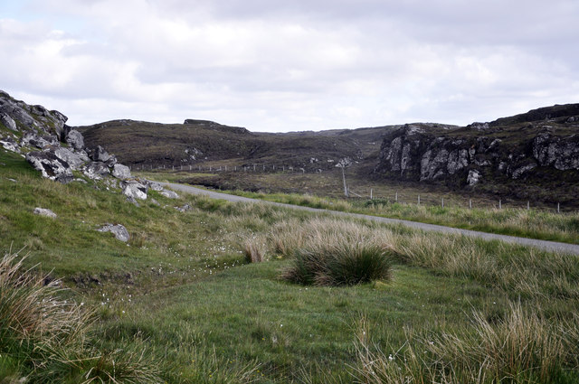
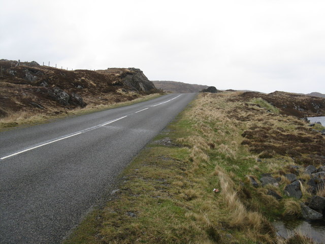
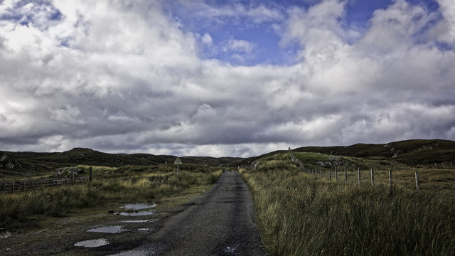
With its distinctive shape and commanding presence, Cnoc an t-Seabhaig attracts both hikers and nature enthusiasts. The ascent to the summit can be challenging but rewarding, with a network of well-defined trails leading to the top. Along the way, visitors can marvel at the diverse flora and fauna that inhabit the hillside, including heather, juniper, and various bird species.
From the peak of Cnoc an t-Seabhaig, visitors are treated to panoramic vistas of the surrounding countryside. On a clear day, one can see the sweeping valleys, sparkling lochs, and distant mountains that make up the stunning Scottish Highland landscape. The hill also offers a unique opportunity for stargazing, as the lack of light pollution in the area allows for excellent views of the night sky.
Cnoc an t-Seabhaig is a popular destination for outdoor activities such as hillwalking, photography, and wildlife spotting. Its remote location and untouched natural beauty make it a peaceful and tranquil escape from the hustle and bustle of everyday life. Whether it be for a challenging hike or a moment of solitude in nature, Cnoc an t-Seabhaig offers a memorable experience for all who venture to its summit.
If you have any feedback on the listing, please let us know in the comments section below.
Cnoc an t-Seabhaig Images
Images are sourced within 2km of 58.256513/-6.7554061 or Grid Reference NB2139. Thanks to Geograph Open Source API. All images are credited.


![Islands in Loch a' Bhaile Viewed from the loop road into Tolastadh a&#039; Chaolais from the A858, the main [only] road from Barabhas.](https://s1.geograph.org.uk/geophotos/03/46/55/3465517_0e248291.jpg)
![Dùn in Loch an Dùnain One of many such small forts in the Hebrides, about 2000 years old and often on islands in lochans. This one is by the road [A858] between Dùn Chàrlabhaigh and Siadar. Apparently the climate was milder in those days, and I&#039;m glad for them - it was cold, wet and windy when I was there in late-May.](https://s3.geograph.org.uk/geophotos/03/47/35/3473555_300a7d7f.jpg)
![Loch an Dùnain, with remains of a Dùn One of many such small forts in the Hebrides, about 2000 years old and often on islands in lochans. This one is by the road [A858] between Dùn Chàrlabhaigh and Siadar. Apparently the climate was milder in those days, and I&#039;m glad for them - it was cold, wet and windy when I was there in late-May.](https://s2.geograph.org.uk/geophotos/03/47/35/3473558_5b4d479e.jpg)


Cnoc an t-Seabhaig is located at Grid Ref: NB2139 (Lat: 58.256513, Lng: -6.7554061)
Unitary Authority: Na h-Eileanan an Iar
Police Authority: Highlands and Islands
What 3 Words
///sulky.ideas.sofas. Near Carloway, Na h-Eileanan Siar
Related Wikis

Tolsta Chaolais
Tolsta Chaolais (also Tolastadh Chaolais, Tolstadh a' Chaolais) is a village on the Isle of Lewis, Scotland. It consists of about forty houses, clustered...

Dun Carloway
Dun Carloway (Scottish Gaelic: Dùn Chàrlabhaigh) is a broch situated in the district of Carloway, on the west coast of the Isle of Lewis, Scotland (grid...

Carloway
Carloway (Scottish Gaelic: Càrlabhagh [ˈkʰaːɾɫ̪ə.ɤː]) is a crofting township and a district on the west coast of the Isle of Lewis, in the Outer Hebrides...

Borrowston, Lewis
Borrowston (Scottish Gaelic: Borghastan), with a population of about 50, is a crofting township situated on the Isle of Lewis, on the Outer Hebrides of...

Breasclete
Breasclete (Scottish Gaelic: Brèascleit) is a village and community on the west side of the Isle of Lewis, in the Outer Hebrides, Scotland. Breasclete...

Ceabhaigh
Ceabhaigh is a small island in an arm of Loch Ròg on the west coast of Lewis in the Outer Hebrides of Scotland. It is about 25 hectares (62 acres) in extent...

Garenin
Garenin (Scottish Gaelic: Na Gearrannan) is a crofting township on the west coast of the Isle of Lewis in the Outer Hebrides of Scotland. Garenin is in...

Lewis and Harris
Lewis and Harris (Scottish Gaelic: Leòdhas agus Na Hearadh, Scots: Lewis an Harris), or Lewis with Harris, is a single Scottish island in the Outer Hebrides...
Have you been to Cnoc an t-Seabhaig?
Leave your review of Cnoc an t-Seabhaig below (or comments, questions and feedback).