Cnoc na Coille
Hill, Mountain in Ross-shire
Scotland
Cnoc na Coille
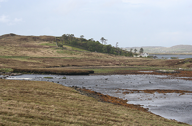
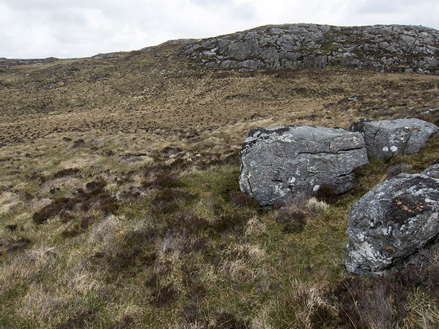
Cnoc na Coille is a hill located in Ross-shire, in the Scottish Highlands. It is situated near the village of Contin, about 20 miles northwest of Inverness. With an elevation of around 1,100 feet (335 meters), Cnoc na Coille is not considered a mountain, but rather a prominent hill in the area.
The hill is known for its beautiful woodland area, with a variety of tree species including oak, birch, and pine. The name "Cnoc na Coille" translates to "Hill of the Woods" in Gaelic, which accurately represents the lush and green surroundings. The woodland is home to a diverse range of flora and fauna, making it a popular spot for nature enthusiasts and hikers.
There are several walking trails that lead up to the summit of Cnoc na Coille, offering stunning views of the surrounding countryside, including the River Beauly and the nearby mountains. The paths are well-maintained and suitable for walkers of varying abilities.
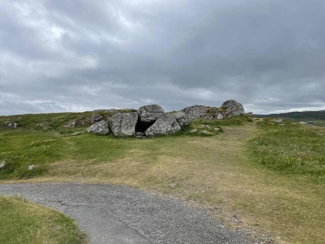
The hill also holds historical significance, as it is believed to have been an important site during the Iron Age. Archaeological remains dating back to this period have been discovered in the vicinity, including a hillfort and a burial mound.
Overall, Cnoc na Coille is a picturesque hill in Ross-shire, offering a combination of natural beauty, historical interest, and recreational opportunities for visitors and locals alike.
If you have any feedback on the listing, please let us know in the comments section below.
Cnoc na Coille Images
Images are sourced within 2km of 58.185219/-6.7483463 or Grid Reference NB2131. Thanks to Geograph Open Source API. All images are credited.

Cnoc na Coille is located at Grid Ref: NB2131 (Lat: 58.185219, Lng: -6.7483463)
Unitary Authority: Na h-Eileanan an Iar
Police Authority: Highlands and Islands
What 3 Words
///samples.recap.oven. Near Carloway, Na h-Eileanan Siar
Nearby Locations
Related Wikis

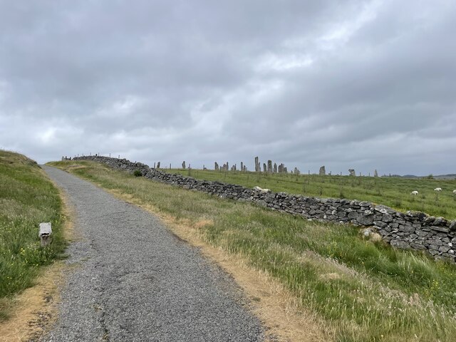
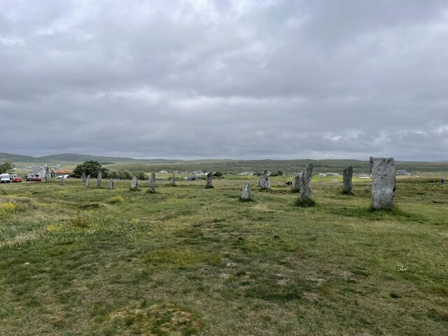
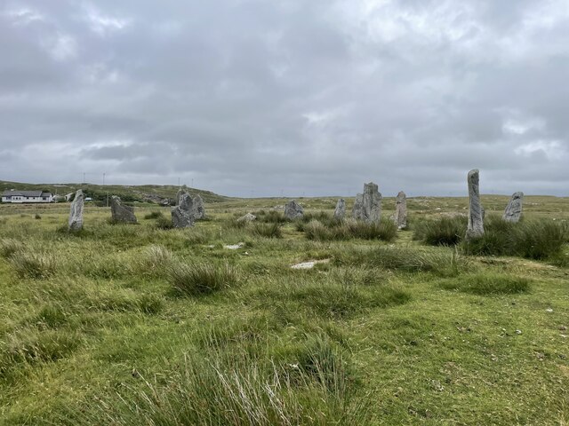
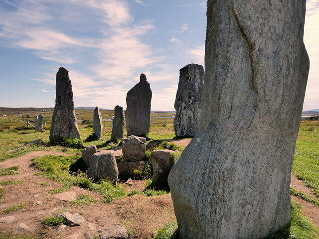
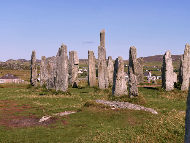
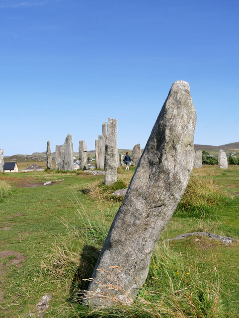
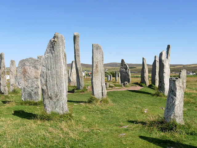
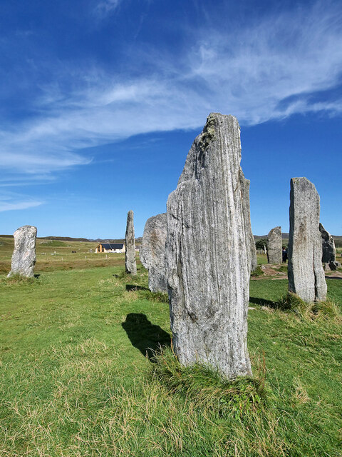
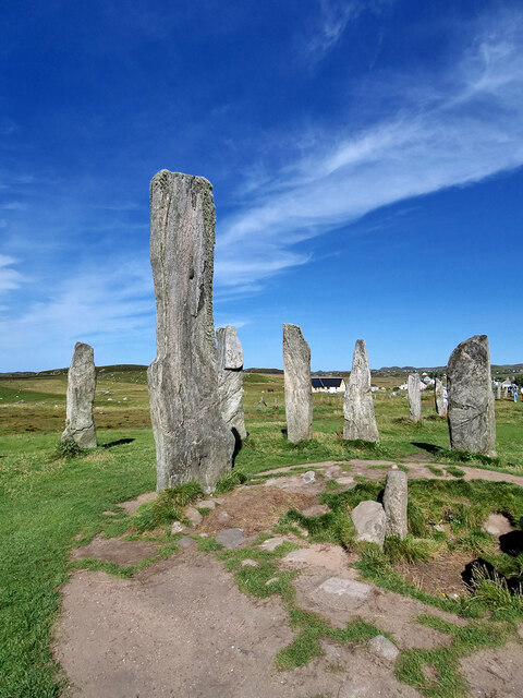
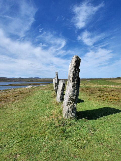
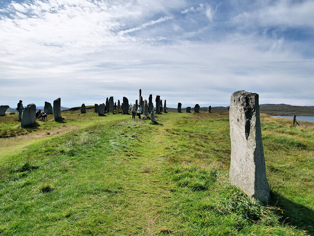
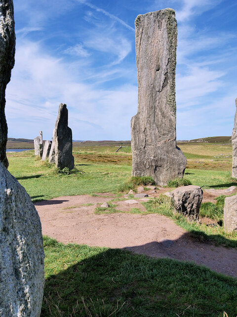
Callanish Stones
The Callanish Stones (or "Callanish I": Scottish Gaelic: Clachan Chalanais or Tursachan Chalanais) are an arrangement of standing stones placed in a cruciform...

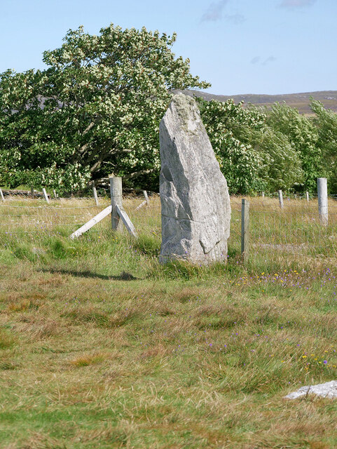
Callanish II
The Callanish II stone circle (Scottish Gaelic: Cnoc Ceann a' Gharaidh) is one of many megalithic structures around the better-known (and larger) Calanais...

Callanish
Callanish (Scottish Gaelic: Calanais) is a village (township) on the west side of the Isle of Lewis, in the Outer Hebrides (Western Isles), Scotland. Callanish...

Callanish III
The Callanish III stone circle (Scottish Gaelic: Cnoc Fillibhir Bheag) is one of many megalithic structures around the better-known (and larger) Calanais...
Nearby Amenities
Located within 500m of 58.185219,-6.7483463Have you been to Cnoc na Coille?
Leave your review of Cnoc na Coille below (or comments, questions and feedback).