Sìdhean Fasgro
Hill, Mountain in Ross-shire
Scotland
Sìdhean Fasgro

Sìdhean Fasgro, located in Ross-shire, Scotland, is a picturesque and prominent hill/mountain that showcases the stunning natural beauty of the region. With an elevation of approximately 2,800 feet (850 meters), it is a popular destination for hikers, nature enthusiasts, and adventure seekers.
The name "Sìdhean Fasgro" translates to "Shimmering Fairy Hill" in English, which adds to the mystical allure surrounding this mountain. The hill is known for its distinctively rugged and rocky terrain, covered in heather and native vegetation, providing a rich habitat for various flora and fauna.
From the summit of Sìdhean Fasgro, visitors are rewarded with breathtaking panoramic views of the surrounding landscape. On clear days, one can admire the rolling hills, deep valleys, and sparkling lochs that stretch as far as the eye can see. The ever-changing colors of the Scottish sky, combined with the dramatic landscape, create a truly enchanting experience.
Hiking to the top of Sìdhean Fasgro is a challenging but rewarding adventure. Several trails of varying difficulty levels are available, catering to both experienced hikers and beginners. It is recommended to come prepared with proper hiking gear and to check weather conditions before embarking on the ascent.
Sìdhean Fasgro is not only a natural wonder but also holds cultural significance. Many legends and stories are associated with the hill, adding an element of mysticism and intrigue to its already captivating appeal. Whether it's for hiking, photography, or simply immersing oneself in the awe-inspiring Scottish scenery, Sìdhean Fasgro is a must-visit destination for nature lovers.
If you have any feedback on the listing, please let us know in the comments section below.
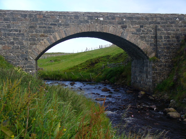
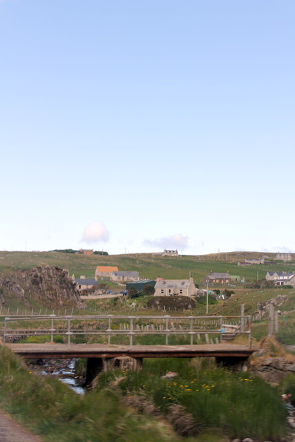
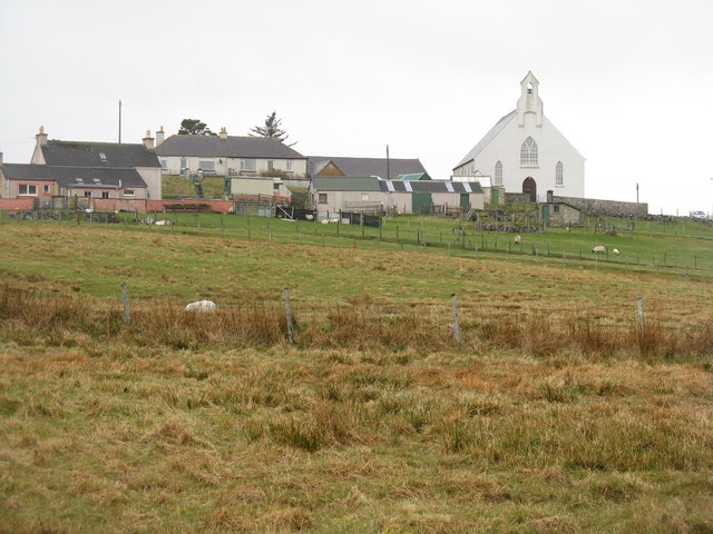
Sìdhean Fasgro Images
Images are sourced within 2km of 58.273683/-6.7605292 or Grid Reference NB2041. Thanks to Geograph Open Source API. All images are credited.


Sìdhean Fasgro is located at Grid Ref: NB2041 (Lat: 58.273683, Lng: -6.7605292)
Unitary Authority: Na h-Eileanan an Iar
Police Authority: Highlands and Islands
What 3 Words
///levels.quest.cubed. Near Carloway, Na h-Eileanan Siar
Nearby Locations
Related Wikis

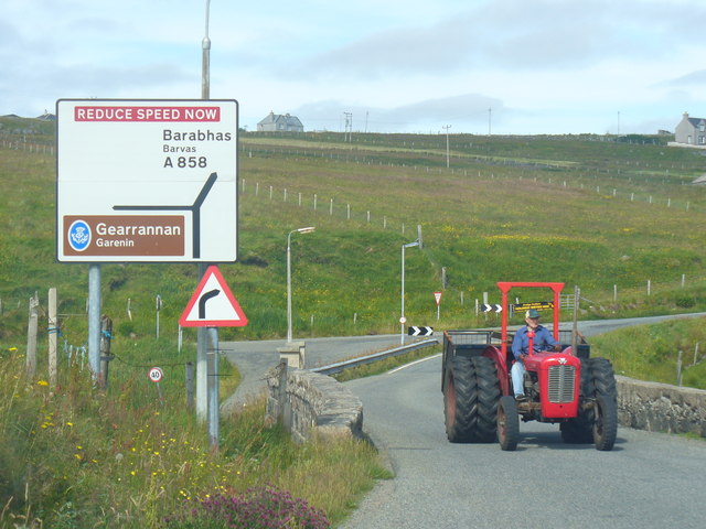
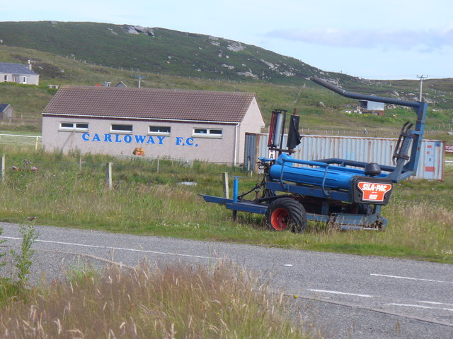
Carloway
Carloway (Scottish Gaelic: Càrlabhagh [ˈkʰaːɾɫ̪ə.ɤː]) is a crofting township and a district on the west coast of the Isle of Lewis, in the Outer Hebrides...

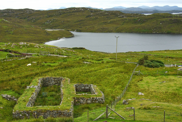
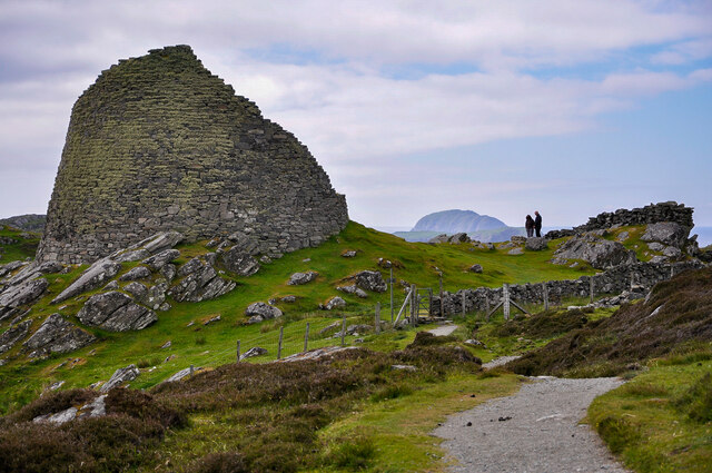
Dun Carloway
Dun Carloway (Scottish Gaelic: Dùn Chàrlabhaigh) is a broch situated in the district of Carloway, on the west coast of the Isle of Lewis, Scotland (grid...

Borrowston, Lewis
Borrowston (Scottish Gaelic: Borghastan), with a population of about 50, is a crofting township situated on the Isle of Lewis, on the Outer Hebrides of...

Garenin
Garenin (Scottish Gaelic: Na Gearrannan) is a crofting township on the west coast of the Isle of Lewis in the Outer Hebrides of Scotland. Garenin is in...
Nearby Amenities
Located within 500m of 58.273683,-6.7605292Have you been to Sìdhean Fasgro?
Leave your review of Sìdhean Fasgro below (or comments, questions and feedback).