Cleit Àrd

Hill, Mountain in Inverness-shire

Scotland

Cleit Àrd

Mountain trail
Mountain trail Credit: Ralph Greig

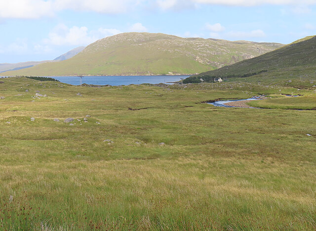
Cleit Àrd, also known as Cleit Ard, is a prominent hill located in Inverness-shire, a county in the Highlands of Scotland. It is situated in the northwest region of the country, near the village of Bettyhill. With an elevation of approximately 278 meters (912 feet), Cleit Àrd is not considered a mountain but rather a hill.

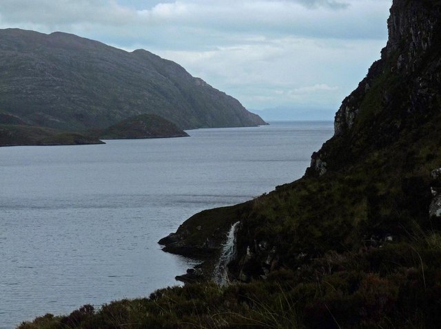
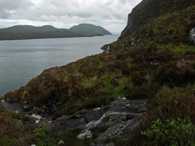
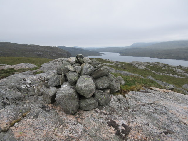
This hill boasts breathtaking panoramic views of the surrounding landscape, including the rugged coastline of the North Atlantic Ocean and the picturesque hills and valleys of Inverness-shire. Its location on the north coast of Scotland provides visitors with a unique perspective of the stunning natural beauty of the area.

Cleit Àrd is a popular destination for hikers and nature enthusiasts who are drawn to its scenic trails and opportunities for outdoor exploration. The hill is accessible via well-maintained paths that offer a relatively moderate challenge for walkers of varying skill levels. Along the way, visitors can expect to encounter diverse flora and fauna, including heather-covered moorland, native wildlife, and perhaps even a glimpse of a golden eagle soaring above.

The area surrounding Cleit Àrd is rich in history and culture, with several archaeological sites and ancient ruins scattered throughout the region. These remnants provide a glimpse into the past and offer visitors the chance to explore Scotland's historical heritage.

Overall, Cleit Àrd offers a memorable experience for those seeking natural beauty, outdoor activities, and a connection to Scotland's rich history.

If you have any feedback on the listing, please let us know in the comments section below.
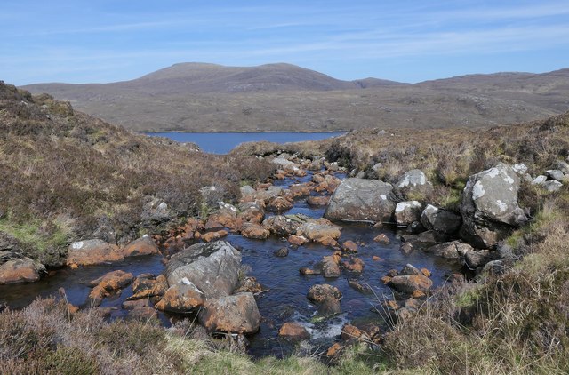
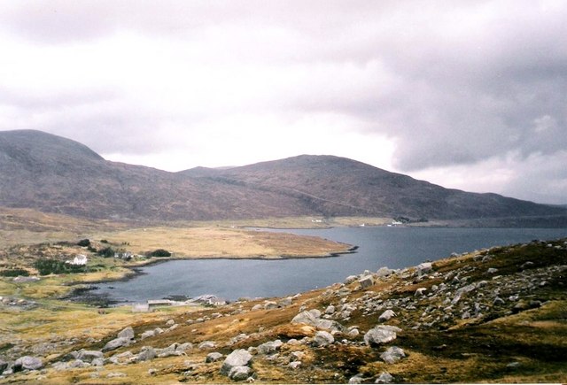
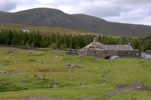
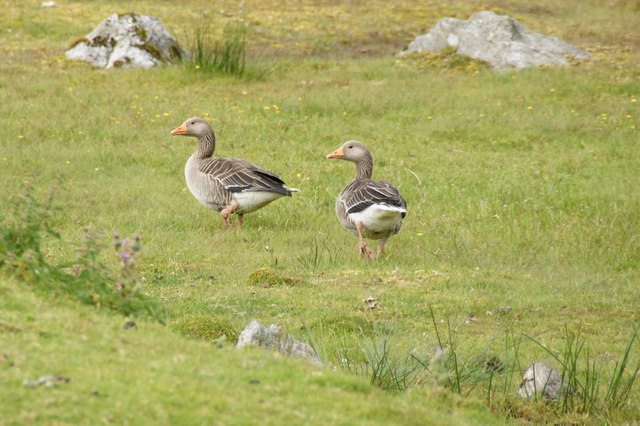
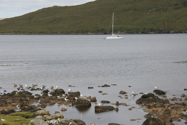
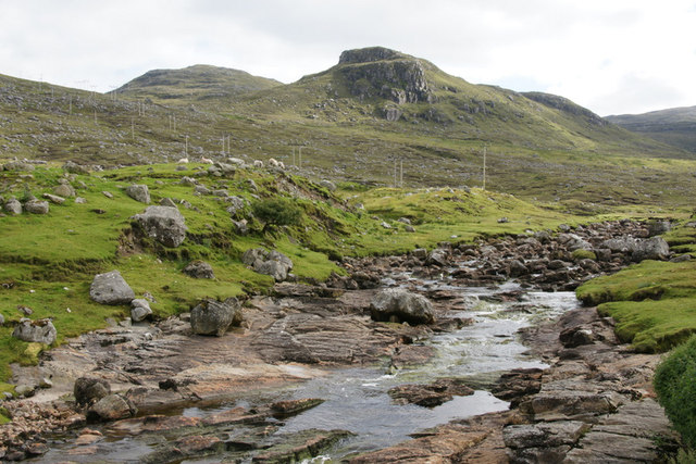
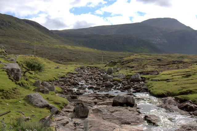
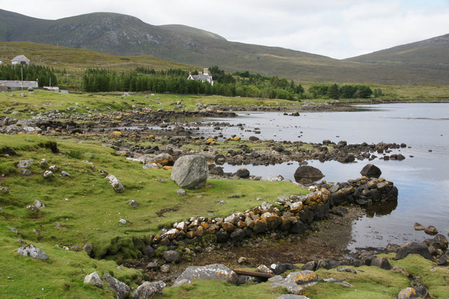
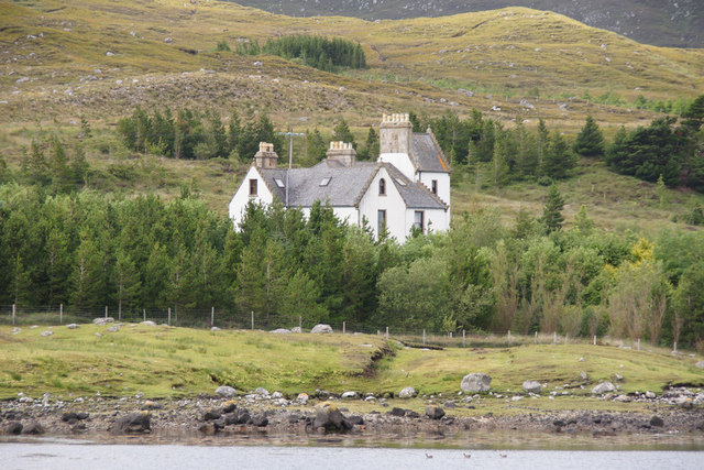
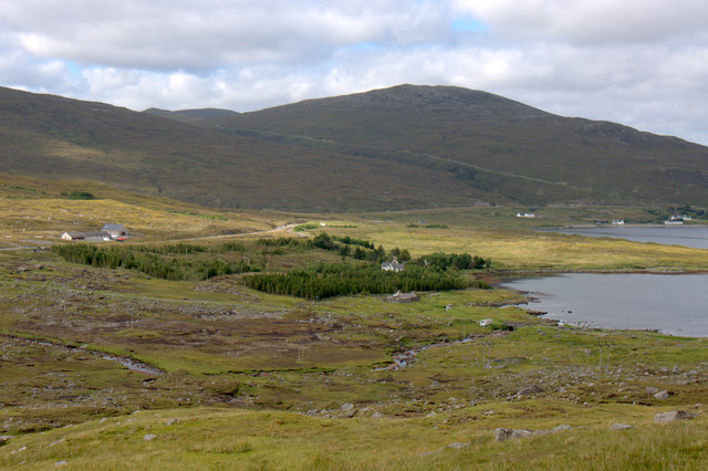
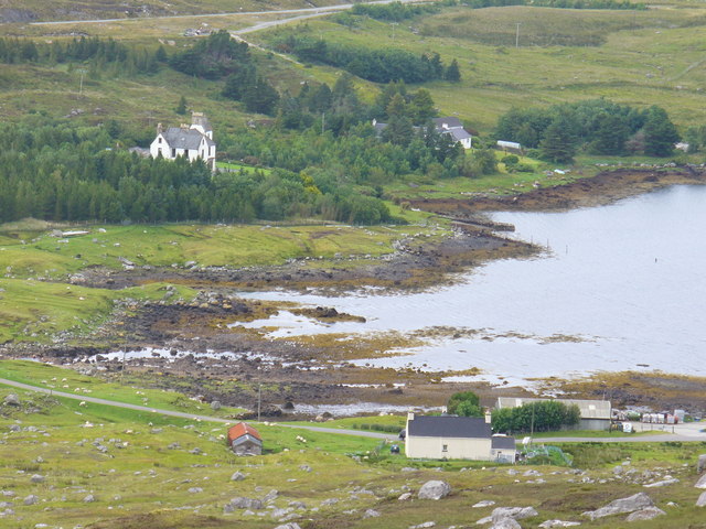
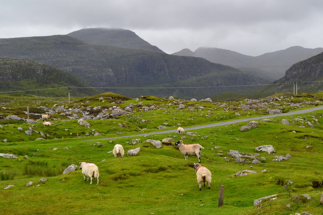
Cleit Àrd Images

Images are sourced within 2km of 57.977122/-6.7548117 or Grid Reference NB1908. Thanks to Geograph Open Source API. All images are credited.

Mountain trail
Mountain trail
Scaladale The river winds its waythrough wet grassland to Scaladale, on the sea shore at Bàgh Àird a' Mhulaidh.
Scaladale
The river winds its waythrough wet grassland to Scaladale, on the sea shore at Bàgh Àird a' Mhulaidh.
Waterfall below Creag na h-Iolaire, Harris Looking along Loch Seaforth/Loch Shiphoirt which forms the boundary between Harris and the Isle of Lewis.

Creag na h-Iolaire means Eagle's Rock.
Waterfall below Creag na h-Iolaire, Harris
Looking along Loch Seaforth/Loch Shiphoirt which forms the boundary between Harris and the Isle of Lewis. Creag na h-Iolaire means Eagle's Rock.
Unnamed burn below Creag na h-Iolaire, Harris Looking along Loch Seaforth/Loch Shiphoirt which forms the boundary between Harris and the Isle of Lewis.

Creag na h-Iolaire means Eagle's Rock.
Unnamed burn below Creag na h-Iolaire, Harris
Looking along Loch Seaforth/Loch Shiphoirt which forms the boundary between Harris and the Isle of Lewis. Creag na h-Iolaire means Eagle's Rock.
Above Loch Seaforth Looking north along Loch Seaforth.
Above Loch Seaforth
Looking north along Loch Seaforth.
The Allt Loch nan Eang, Isle of Lewis Looking towards Loch Seaforth/Loch Shìophoirt, the sea loch into which the burn flows.
The Allt Loch nan Eang, Isle of Lewis
Looking towards Loch Seaforth/Loch Shìophoirt, the sea loch into which the burn flows.
Bagh Aird Mhulaidh from Tarbert Stornoway road
Ruined house at Scaladale
Greylag Geese (Anser anser), Scaladale In the mid 20th century the Outer Hebrides were the last refuge of native geese in Britain, but numbers, from various sources, are much larger these days.
Greylag Geese (Anser anser), Scaladale
In the mid 20th century the Outer Hebrides were the last refuge of native geese in Britain, but numbers, from various sources, are much larger these days.
Yacht in Loch Seaforth (Siophort) off Scaladale
Abhainn Sgaladail at Scaladale Looking towards the crag of Caisteal Ard.
Abhainn Sgaladail at Scaladale
Looking towards the crag of Caisteal Ard.
Abhainn Sgaladail at Scaladale Looking towards An Cliseam.
Abhainn Sgaladail at Scaladale
Looking towards An Cliseam.
Bagh Aird a' Mhulaidh at Scaladale Looking towards Ardvourlie Castle.
Bagh Aird a' Mhulaidh at Scaladale
Looking towards Ardvourlie Castle.
Ardvourlie Castle from Scaladale
Pier at Scaladale The hill of Beinn a' Mhuil is in the background, with the valley to the left marking the border between Harris and Lewis.
Pier at Scaladale
The hill of Beinn a' Mhuil is in the background, with the valley to the left marking the border between Harris and Lewis.
Aird a' Mhulaidh View of Ardvourlie Castle and its environs from the road above Scaladale.
Aird a' Mhulaidh
View of Ardvourlie Castle and its environs from the road above Scaladale.
Scaladale from the South Bayhead hamlet at the head of Ardvourlie Bay / Bagh Aird a' Mhulaidh. Beyond is Ardvourlie Castle, surrounded by woodland.
Scaladale from the South
Bayhead hamlet at the head of Ardvourlie Bay / Bagh Aird a' Mhulaidh. Beyond is Ardvourlie Castle, surrounded by woodland.
Sheep grazing beside road at Scaladale
Show me another place!

Cleit Àrd is located at Grid Ref: NB1908 (Lat: 57.977122, Lng: -6.7548117)

Unitary Authority: Na h-Eileanan an Iar

Police Authority: Highlands and Islands

What 3 Words

///scrambles.toolkit.muffin. Near Tarbert, Na h-Eileanan Siar

Related Wikis

Ardvourlie Castle

Ardvourlie Castle is a 19th-century country house on Harris, one of the Western Isles off the north-west coast of Scotland. The house was built beside...

Seaforth Island

Seaforth Island (Scottish Gaelic: Eilean Shìphoirt/Shìophoirt or Mulag) is an uninhabited island in the Outer Hebrides of Scotland. Unlike many other...

Loch Seaforth

Loch Seaforth (Scottish Gaelic: Loch Shiphoirt or Shìophoirt) is a sea loch in the Outer Hebrides of Scotland. It consists of three distinct sections;...

Uisgneabhal Mor

Uisgnabhal Mor (729 m) is a mountain in Harris, in the Outer Hebrides of Scotland. A complex mountain of several ridges and summits, it lies in the centre...

Bun Abhainn Eadarra

Bun Abhainn Eadarra or Bunavoneadar is a hamlet adjacent to the Loch Bun Abhainn Eadarra, on the south shore of North Harris, in the Outer Hebrides, Scotland...

Rèinigeadal

Rèinigeadal (or Rhenigidale) is a small settlement in Harris, in the Western Isles in Scotland. It is situated on the east coast of Harris 8 kilometres...

Ardhasaig

Ardhasaig (Scottish Gaelic: Àird Àsaig) is a settlement on the western coast of north Harris, in the Outer Hebrides, Scotland. Ardhasaig is also within...

Harris, Outer Hebrides

Harris (Scottish Gaelic: Na Hearadh, pronounced [nə ˈhɛɾəɣ] ) is the southern and more mountainous part of Lewis and Harris, the largest island in the...

Nearby Amenities

Located within 500m of 57.977122,-6.7548117
Power: pole
Lat/Long: 57.9811906/-6.751664
Power: pole
Lat/Long: 57.9804951/-6.7512687
Power: pole
Lat/Long: 57.978999/-6.750152
Power: pole
Lat/Long: 57.9784408/-6.749748
Power: pole
Lat/Long: 57.9777681/-6.7492384
Power: pole
Lat/Long: 57.9768009/-6.7492159
Power: pole
Lat/Long: 57.9762585/-6.7491995
Power: pole
Lat/Long: 57.9754896/-6.7491908
Power: pole
Lat/Long: 57.9747058/-6.7491756
Power: pole
Lat/Long: 57.9739733/-6.7491692
Cleit Ard
Corbett: no
Ele: 328
Graham: no
Marilyn: no
Munro: no
Name En: Clett Ard
Name Gd: Cleit Ard
Natural: peak
Lat/Long: 57.9773011/-6.7549565
Material: wood
Power: pole
Lat/Long: 57.9755103/-6.7470046
Material: wood
Power: pole
Lat/Long: 57.9760892/-6.7470502
Material: wood
Power: pole
Lat/Long: 57.9766866/-6.7470958
Material: wood
Power: pole
Lat/Long: 57.9772519/-6.7471418
Material: wood
Power: pole
Lat/Long: 57.9778144/-6.747174
Material: wood
Power: pole
Lat/Long: 57.9786062/-6.7472415
Material: wood
Power: pole
Lat/Long: 57.9792023/-6.7479624
Material: wood
Power: pole
Lat/Long: 57.9800948/-6.7486203
Noexit: yes
Lat/Long: 57.9777546/-6.7479987
The data included in this document is from www.openstreetmap.org. The data is made available under ODbL.

Have you been to Cleit Àrd?

Leave your review of Cleit Àrd below (or comments, questions and feedback).