Cnoc Chlachain
Hill, Mountain in Argyllshire
Scotland
Cnoc Chlachain
Cnoc Chlachain, located in Argyllshire, Scotland, is a prominent hill or mountain that offers breathtaking views and a memorable outdoor experience. The hill stands at an impressive height of approximately 736 meters (2,415 feet) and is part of the stunning Scottish Highlands.
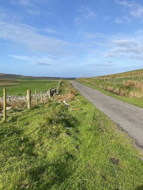
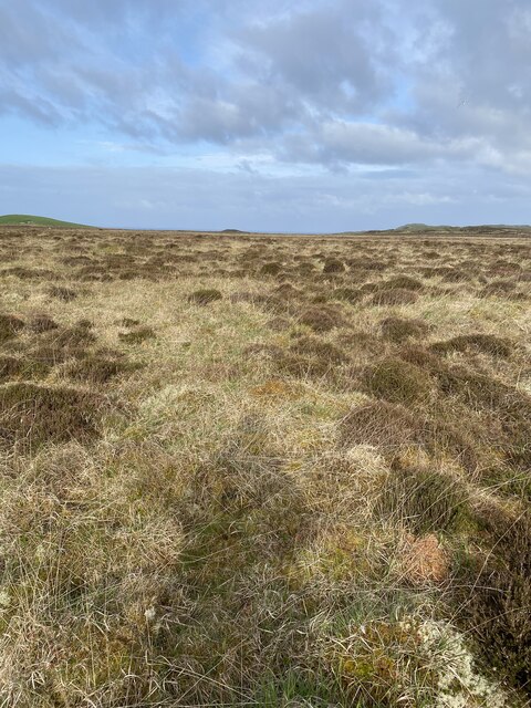
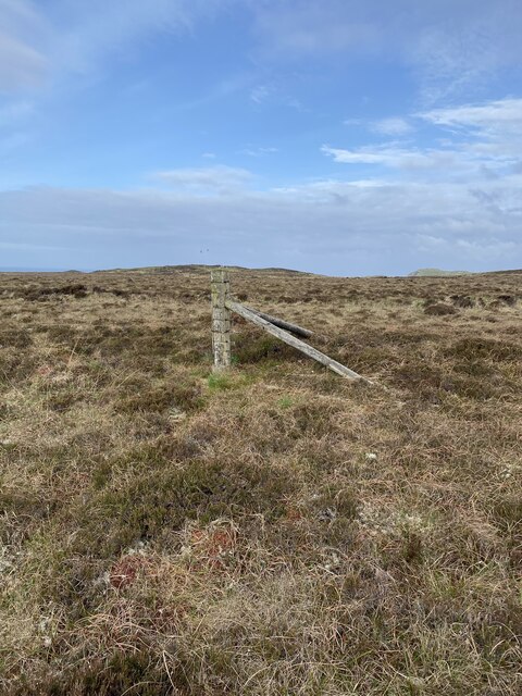
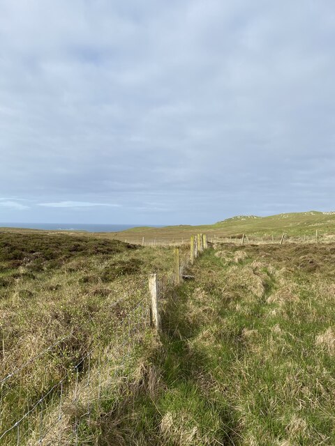
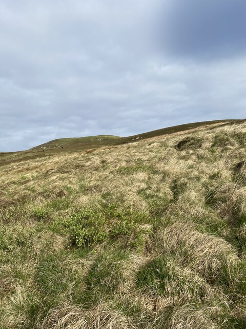
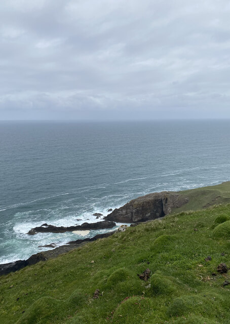
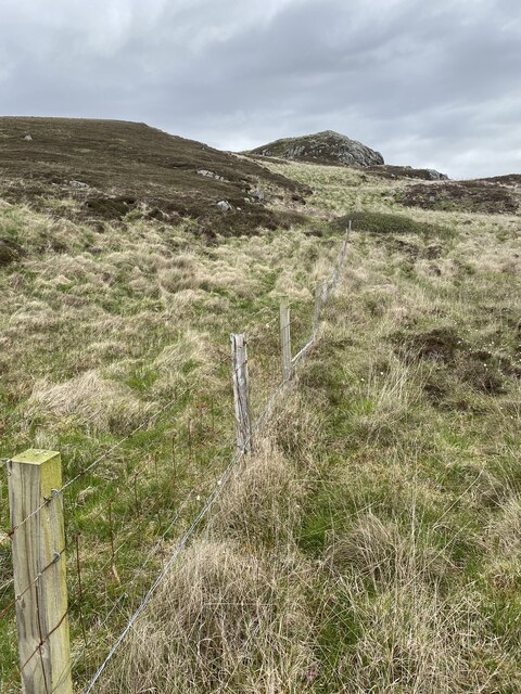
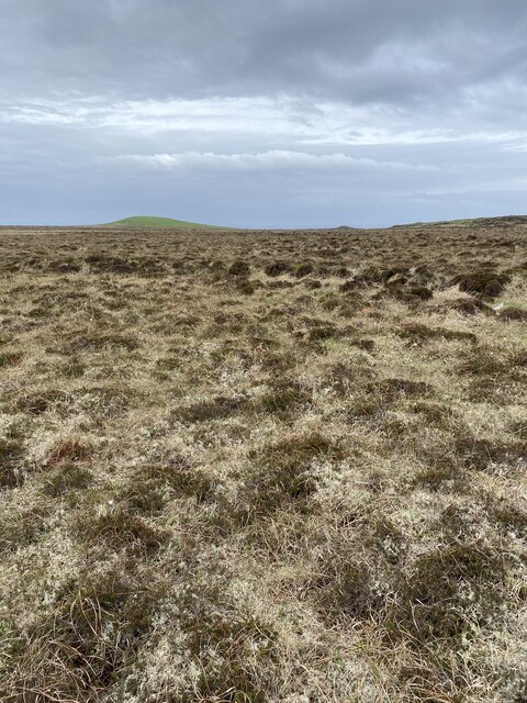
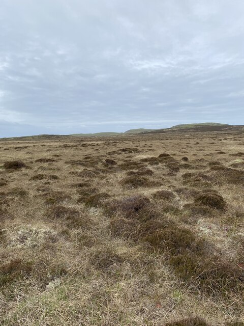
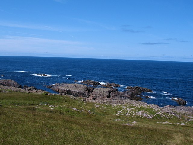
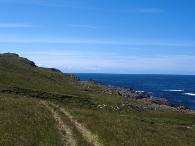
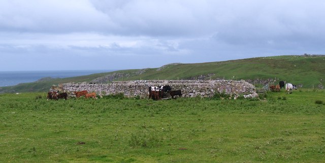
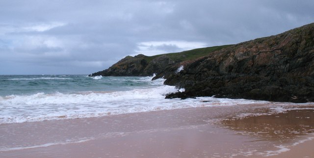
Cnoc Chlachain is known for its rugged and rocky terrain, making it a popular destination for hikers and mountaineers looking for a challenging adventure. The summit provides panoramic vistas of the surrounding landscape including nearby Loch Awe, one of Scotland's largest freshwater lakes. On a clear day, visitors can also catch glimpses of the distant mountains and glens, adding to the beauty of the surroundings.
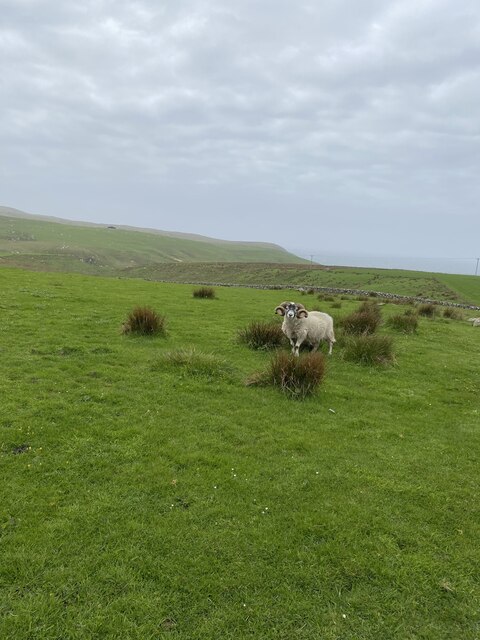
The hill is rich in biodiversity, with a diverse range of flora and fauna. Walkers may encounter various species of birdlife, such as golden eagles, peregrine falcons, and red kites, soaring through the skies. The lower slopes are covered in heather and grasses, creating a vibrant and colorful landscape during the warmer months.
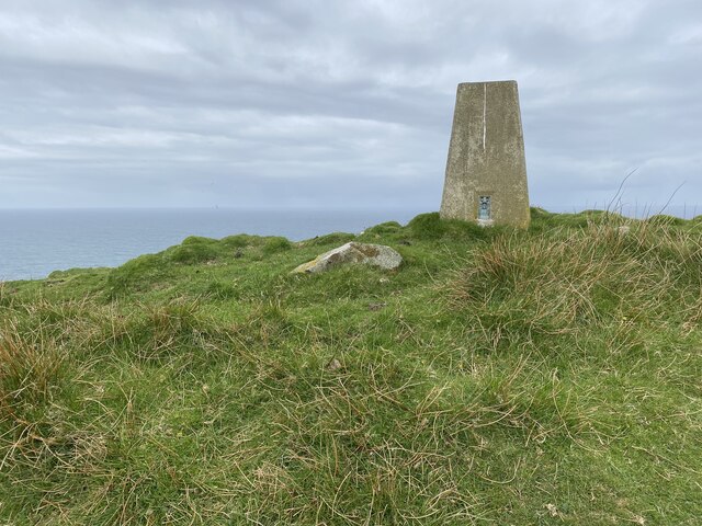
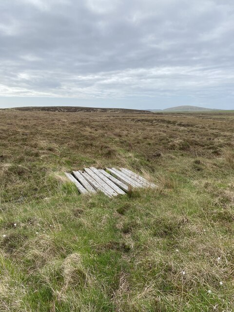
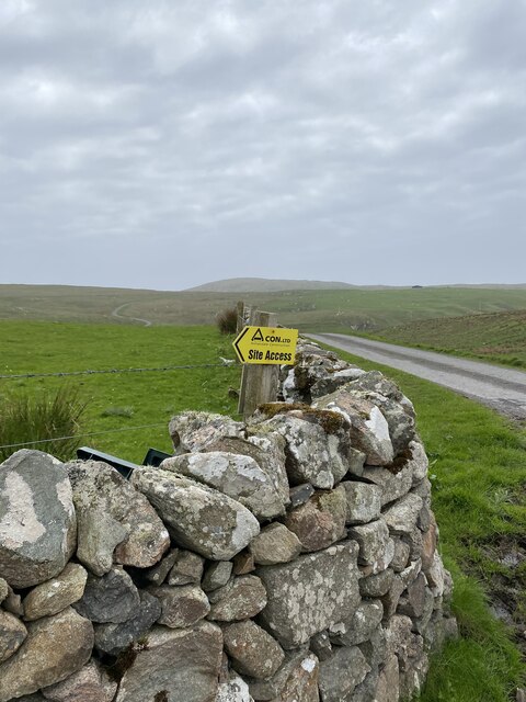
Cnoc Chlachain can be accessed via several routes, with the most popular starting from the village of Dalmally. The ascent is challenging but rewarding, offering a sense of achievement as hikers reach the summit. Along the way, trekkers may come across ancient ruins, standing stones, and remnants of old settlements, adding an element of history and intrigue to the journey.
Overall, Cnoc Chlachain is a remarkable hill or mountain in Argyllshire, Scotland, offering visitors an unforgettable outdoor experience with its stunning views, rugged terrain, and diverse wildlife.
If you have any feedback on the listing, please let us know in the comments section below.
Cnoc Chlachain Images
Images are sourced within 2km of 55.730366/-6.4832676 or Grid Reference NR1857. Thanks to Geograph Open Source API. All images are credited.
Cnoc Chlachain is located at Grid Ref: NR1857 (Lat: 55.730366, Lng: -6.4832676)
Unitary Authority: Argyll and Bute
Police Authority: Argyll and West Dunbartonshire
What 3 Words
///video.owned.collision. Near Portnahaven, Argyll & Bute
Nearby Locations
Related Wikis

Rinns of Islay
The Rinns of Islay (Scottish Gaelic: Na Roinn Ìleach; alternative English spelling Rhinns of Islay) is an area on the west of the island of Islay in the...

RAF Kilchiaran
RAF Kilchiaran was a Royal Air Force radar station situated on the Isle of Islay in Scotland. It was originally active from 1940-1945. In 1954 the base...

Easter Ellister
Easter Ellister (Aolastradh) is a settlement on the Rinns of Islay on Islay in the Inner Hebrides of Scotland. It lies just off the A847 road between Portnahaven...

Nerabus
Nerabus (otherwise Nereabolls) is a hamlet in the west of the isle of Islay in Scotland. The vicinity is noted for its scenic qualities and diverse birdlife...

Islay LIMPET
Islay LIMPET was the world's first commercial wave power device and was connected to the United Kingdom's National Grid. == History == Islay LIMPET (Land...

Portnahaven
Portnahaven (Scottish Gaelic: Port na h-Abhainne, meaning river port) is a village on Islay in the Inner Hebrides, Scotland. The village is within the...

Eilean Mhic Coinnich
Eilean Mhic Coinnich, also known as Mackenzie Island (although recorded on the Land Register as McKenseys Island), is an uninhabited island of 17.3 hectares...

Kilchoman
Kilchoman ( kil-(K)HOM-ən; Scottish Gaelic: Cill Chomain [kʲʰiːʎ ˈxɔmɛɲ]) is a small settlement and large parish on the Scottish island of Islay, within...
Have you been to Cnoc Chlachain?
Leave your review of Cnoc Chlachain below (or comments, questions and feedback).