Cnoc an Ruim
Hill, Mountain in Argyllshire
Scotland
Cnoc an Ruim
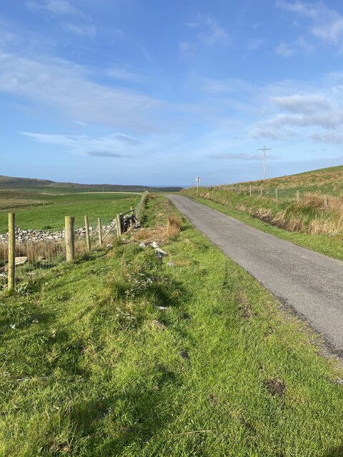
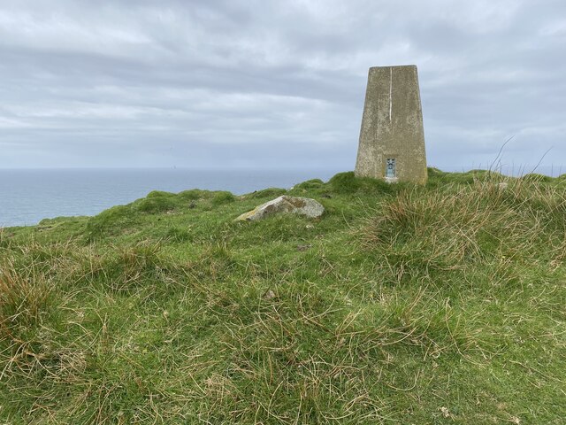
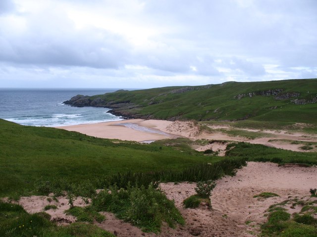
Cnoc an Ruim is a prominent hill located in the region of Argyllshire, Scotland. With an elevation of around 1,040 feet (317 meters), it offers breathtaking panoramic views of the surrounding landscape. Situated in the southern part of Argyllshire, near the village of Kilmartin, Cnoc an Ruim is a popular destination for outdoor enthusiasts and hikers.
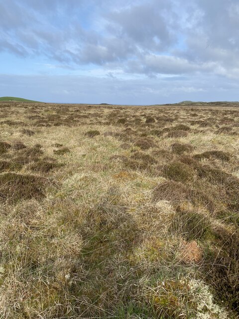
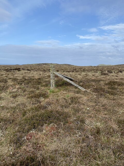
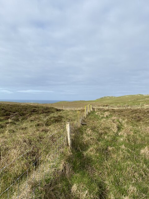
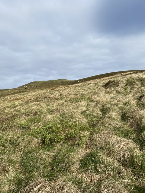
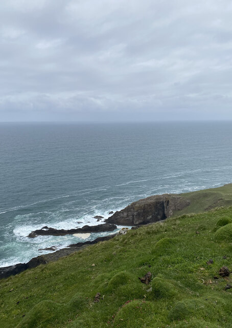
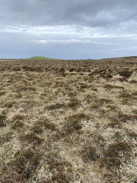
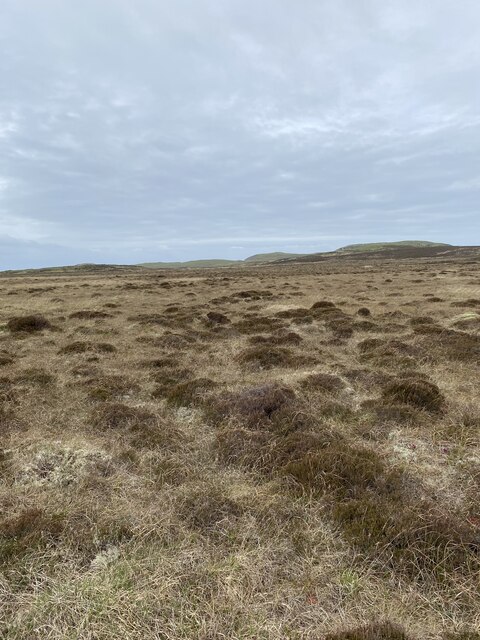
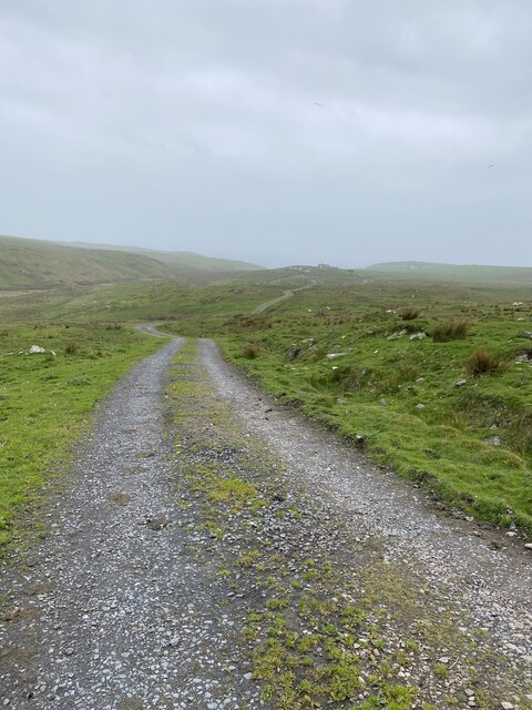
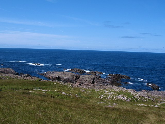
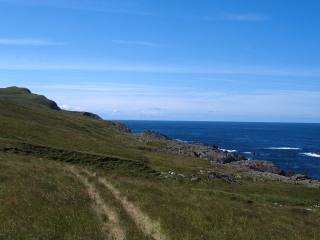
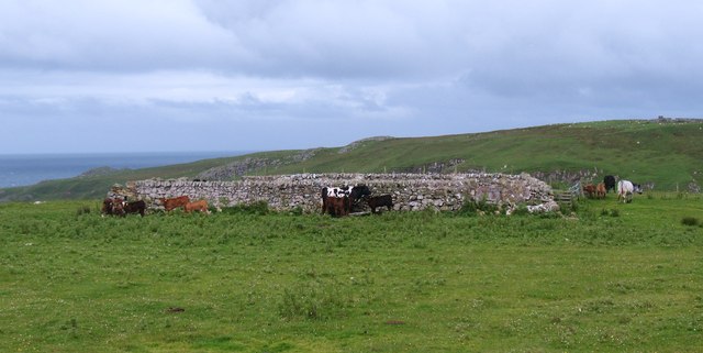
The hill is characterized by its rugged terrain, covered in heather and grasses, giving it a wild and picturesque appearance. As visitors ascend the hill, they are treated to stunning vistas of the surrounding countryside, including the Kilmartin Glen and the nearby Crinan Canal. On clear days, it is even possible to catch glimpses of the Isle of Jura and the Inner Hebridean islands in the distance.
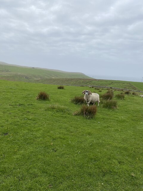
Cnoc an Ruim is also home to a wide variety of flora and fauna, making it a haven for nature lovers. It is not uncommon to spot red deer, wild goats, and numerous bird species while exploring the hill. Additionally, the area surrounding Cnoc an Ruim is rich in history, with several ancient monuments and burial sites scattered throughout the landscape, providing a glimpse into the region's past.
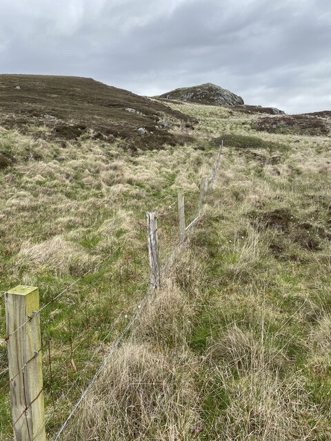
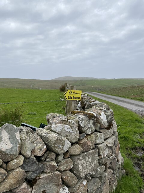
Access to Cnoc an Ruim is relatively straightforward, with a well-defined trail leading to the summit. The hike is of moderate difficulty, making it suitable for individuals of various fitness levels. Overall, Cnoc an Ruim offers a fantastic opportunity to immerse oneself in the natural beauty and historical significance of Argyllshire.
If you have any feedback on the listing, please let us know in the comments section below.
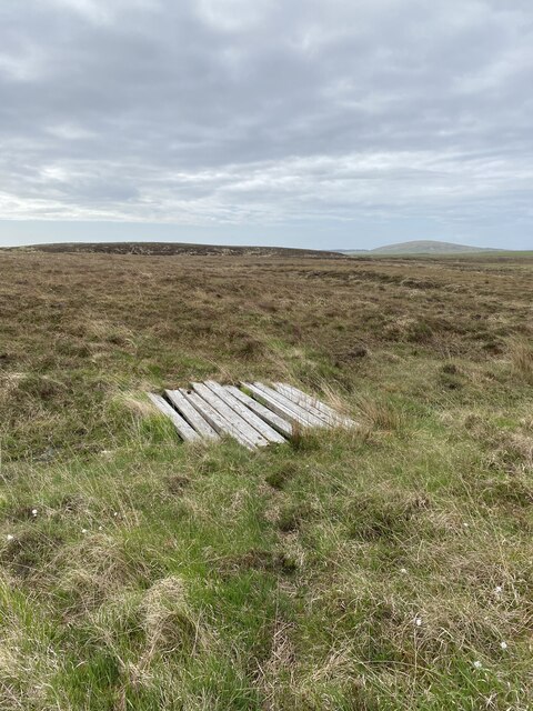
Cnoc an Ruim Images
Images are sourced within 2km of 55.728185/-6.4814231 or Grid Reference NR1857. Thanks to Geograph Open Source API. All images are credited.
Cnoc an Ruim is located at Grid Ref: NR1857 (Lat: 55.728185, Lng: -6.4814231)
Unitary Authority: Argyll and Bute
Police Authority: Argyll and West Dunbartonshire
What 3 Words
///pumpkin.journey.upstarts. Near Portnahaven, Argyll & Bute
Nearby Locations
Related Wikis

Rinns of Islay
The Rinns of Islay (Scottish Gaelic: Na Roinn Ìleach; alternative English spelling Rhinns of Islay) is an area on the west of the island of Islay in the...

Easter Ellister
Easter Ellister (Aolastradh) is a settlement on the Rinns of Islay on Islay in the Inner Hebrides of Scotland. It lies just off the A847 road between Portnahaven...

Nerabus
Nerabus (otherwise Nereabolls) is a hamlet in the west of the isle of Islay in Scotland. The vicinity is noted for its scenic qualities and diverse birdlife...

RAF Kilchiaran
RAF Kilchiaran was a Royal Air Force radar station situated on the Isle of Islay in Scotland. It was originally active from 1940-1945. In 1954, the base...
Have you been to Cnoc an Ruim?
Leave your review of Cnoc an Ruim below (or comments, questions and feedback).