Sìdheanan Beag
Hill, Mountain in Ross-shire
Scotland
Sìdheanan Beag

Sìdheanan Beag is a prominent hill located in Ross-shire, Scotland. It is part of the larger Sìdheanan range, which is situated in the stunning Scottish Highlands. With an elevation of approximately 450 meters (1476 feet), Sìdheanan Beag offers breathtaking views of the surrounding landscape and is a popular destination for hikers and nature enthusiasts.
The hill is characterized by its rolling green slopes and rocky outcrops, making it an ideal location for outdoor activities such as hillwalking and photography. It is also home to a variety of flora and fauna, including heather, mosses, and several species of birds.
Sìdheanan Beag is situated in a remote and tranquil area, providing visitors with a sense of peace and solitude. The hill is accessible by foot and can be reached via a well-marked trail that starts from a nearby parking area. The ascent is moderate, making it suitable for both experienced hikers and those new to hillwalking.
At the summit of Sìdheanan Beag, visitors are rewarded with panoramic views of the surrounding countryside, including the nearby lochs and glens. On clear days, the peak offers stunning vistas of the Scottish Highlands, with its rugged mountains and pristine wilderness.
Overall, Sìdheanan Beag is a must-visit destination for anyone seeking to experience the natural beauty and tranquility of the Scottish Highlands. Its accessibility and stunning views make it a popular choice for outdoor enthusiasts and nature lovers alike.
If you have any feedback on the listing, please let us know in the comments section below.
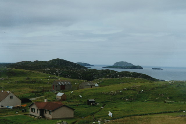
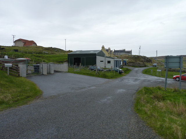
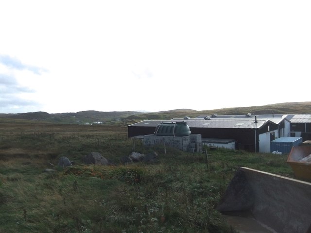
Sìdheanan Beag Images
Images are sourced within 2km of 58.289215/-6.8095254 or Grid Reference NB1843. Thanks to Geograph Open Source API. All images are credited.


Sìdheanan Beag is located at Grid Ref: NB1843 (Lat: 58.289215, Lng: -6.8095254)
Unitary Authority: Na h-Eileanan an Iar
Police Authority: Highlands and Islands
What 3 Words
///swing.cork.conqueror. Near Carloway, Na h-Eileanan Siar
Nearby Locations
Related Wikis

Garenin
Garenin (Scottish Gaelic: Na Gearrannan) is a crofting township on the west coast of the Isle of Lewis in the Outer Hebrides of Scotland. Garenin is in...

Borrowston, Lewis
Borrowston (Scottish Gaelic: Borghastan), with a population of about 50, is a crofting township situated on the Isle of Lewis, on the Outer Hebrides of...

Dun Carloway
Dun Carloway (Scottish Gaelic: Dùn Chàrlabhaigh) is a broch situated in the district of Carloway, on the west coast of the Isle of Lewis, Scotland (grid...

Carloway
Carloway (Scottish Gaelic: Càrlabhagh [ˈkʰaːɾɫ̪ə.ɤː]) is a crofting township and a district on the west coast of the Isle of Lewis, in the Outer Hebrides...

Cealasaigh
Cealasaigh or Kealasay is an islet in outer Loch Ròg, Lewis, Scotland that lies north of Traigh Mhór on Little Bernera and south of Campaigh. To the west...

Campaigh
Campaigh or Campay is a steep and rocky islet in outer Loch Ròg, Lewis, Scotland that lies north of Cealasaigh and Little Bernera. A huge natural arch...

Little Bernera
Little Bernera (Scottish Gaelic: Beàrnaraigh Beag) is a small island situated off the west coast of the Isle of Lewis in the Outer Hebrides.Little Bernera...
Siadar Wave Power Station
The Siadar Wave Power Station (also known as Siadar Wave Energy Project or SWEP) was a proposed 4 MW wave farm 400 metres (1,300 ft) off the shore of Siadar...
Have you been to Sìdheanan Beag?
Leave your review of Sìdheanan Beag below (or comments, questions and feedback).