Cnoc a' Charnain
Hill, Mountain in Ross-shire
Scotland
Cnoc a' Charnain

Cnoc a' Charnain is a prominent hill located in Ross-shire, Scotland. It is situated in the western part of the county, near the village of Achnasheen. With an elevation of approximately 598 meters (1,962 feet), it is considered a mountain rather than a hill.
The name "Cnoc a' Charnain" translates to "Hill of the Cairn" in English, indicating the presence of a cairn, a mound of stones, at or near its summit. This cairn is believed to have historical significance and is thought to have served as a burial site or a marker in ancient times.
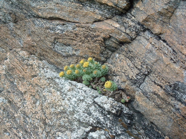
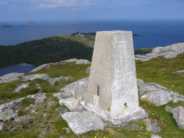
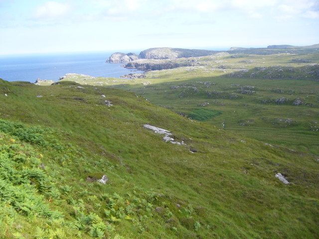
The mountain offers breathtaking views of the surrounding Scottish Highlands. The rugged and rocky terrain makes it a popular destination for hikers and mountaineers. The ascent to the summit involves a moderate level of difficulty, with some steep sections and a rocky path to navigate.
At the top of Cnoc a' Charnain, one can enjoy panoramic vistas of the surrounding landscape, including nearby mountains, lochs, and glens. On clear days, it is possible to see as far as the Isle of Skye and the Outer Hebrides.
Due to its remote location, the hill provides a peaceful and tranquil setting, ideal for those seeking a break from the hustle and bustle of everyday life. It is advisable to come prepared with appropriate outdoor gear and equipment, as weather conditions can change rapidly in this part of Scotland.
Overall, Cnoc a' Charnain is a captivating mountain that offers both natural beauty and a sense of history, making it a must-visit location for outdoor enthusiasts and explorers.
If you have any feedback on the listing, please let us know in the comments section below.
Cnoc a' Charnain Images
Images are sourced within 2km of 58.283116/-6.8216937 or Grid Reference NB1742. Thanks to Geograph Open Source API. All images are credited.
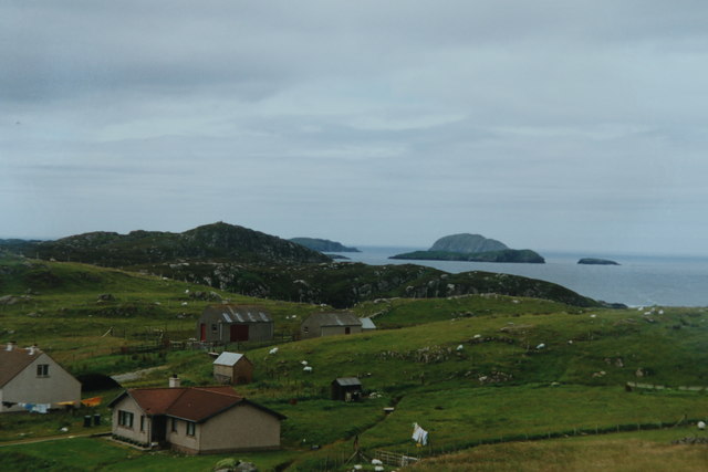

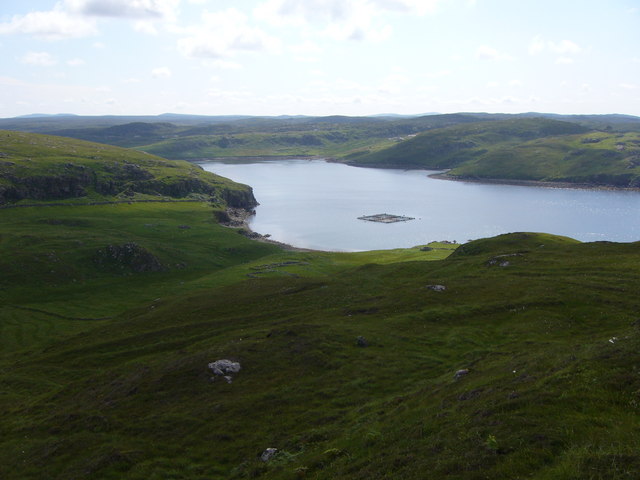
![Ben Laimishader Try and park before turning circle at road end. The old track to the abandoned village and lazy beds is a gem in places. I saw a pair of Sea Eagles while bagging this coastal HuMP.
Name: Ben Laimishader [Aird Laimishader]
Hill number: 4955
Height: 115m / 377ft
Parent (Ma/M): 1577 Beinn Bhragair
Section: 24A: Lewis and Nearby Islands
County/UA: Na h-Eileanan Siar [Western Isles] (UA)
Island: Lewis and Harris
Class: HuMP, Tump (100-199m)
Grid ref: NB179427 (est)
Drop: 100m
Col: 15m NB196436](https://s1.geograph.org.uk/geophotos/04/18/56/4185621_0f522673.jpg)
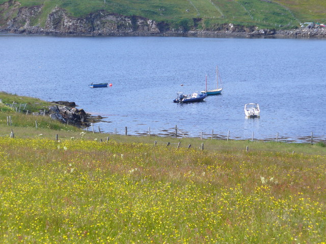
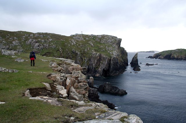
![Ben Borrowston Bagged on the way back to car after Ben Laimishader.
Name: Ben Borrowston
Hill number: 12561
Height: 85m / 279ft
Parent (Ma/M): 1577 Beinn Bhragair
Section: 24A: Lewis and Nearby Islands
County/UA: Na h-Eileanan Siar [Western Isles] (UA)
Island: Lewis and Harris
Class: Tump (0-99m)
Grid ref: NB188427 (est)
Drop: 61m
Col: 24m NB185428](https://s3.geograph.org.uk/geophotos/04/18/56/4185631_2ae4f1d7.jpg)


Cnoc a' Charnain is located at Grid Ref: NB1742 (Lat: 58.283116, Lng: -6.8216937)
Unitary Authority: Na h-Eileanan an Iar
Police Authority: Highlands and Islands
What 3 Words
///garlic.greed.busters. Near Carloway, Na h-Eileanan Siar
Related Wikis

Borrowston, Lewis
Borrowston (Scottish Gaelic: Borghastan), with a population of about 50, is a crofting township situated on the Isle of Lewis, on the Outer Hebrides of...

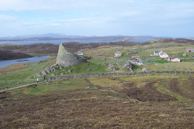
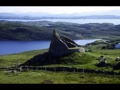
Dun Carloway
Dun Carloway (Scottish Gaelic: Dùn Chàrlabhaigh) is a broch situated in the district of Carloway, on the west coast of the Isle of Lewis, Scotland (grid...

Garenin
Garenin (Scottish Gaelic: Na Gearrannan) is a crofting township on the west coast of the Isle of Lewis in the Outer Hebrides of Scotland. Garenin is in...

Cealasaigh
Cealasaigh or Kealasay is an islet in outer Loch Ròg, Lewis, Scotland that lies north of Traigh Mhór on Little Bernera and south of Campaigh. To the west...
Related Videos

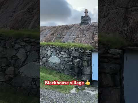
Gearrannan village of traditional houses
Gearrannan Black House village on the Isle of Lewis.
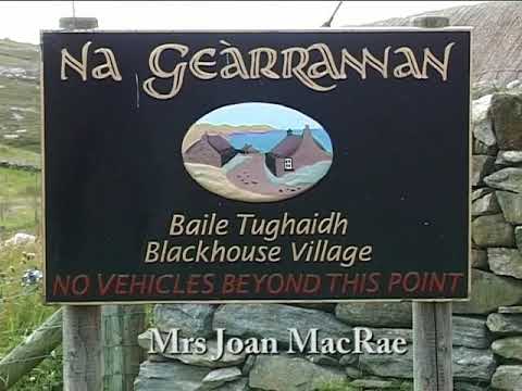
Pipe Major Bill Hepburn Jnr. at the Black Houses, Na Gearrannan, Isle of Lewis - 'Mrs Joan Macrae'.
Pipe Major Bill Hepburn Jnr. plays the pipe tune 'Mrs Joan Macrae' at the Black Houses of Na Gearrannan on the west coast of ...
Dun Carloway Broch On Visit To Isle Of Lewis Outer Hebrides Scotland
Tour Scotland travel video, with Scottish music, of Dun Carloway Broch, Scottish Gaelic: Dùn Chàrlabhaigh, on visit to the west ...
Nearby Amenities
Located within 500m of 58.283116,-6.8216937Have you been to Cnoc a' Charnain?
Leave your review of Cnoc a' Charnain below (or comments, questions and feedback).