Cleite na Cos Cleit
Hill, Mountain in Ross-shire
Scotland
Cleite na Cos Cleit
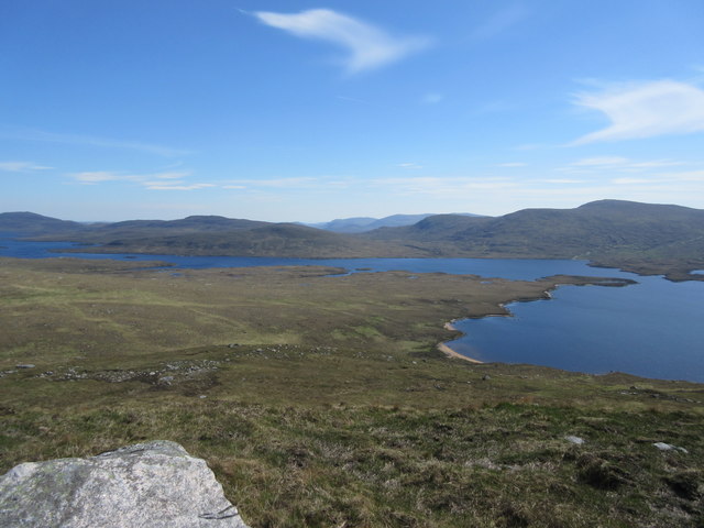
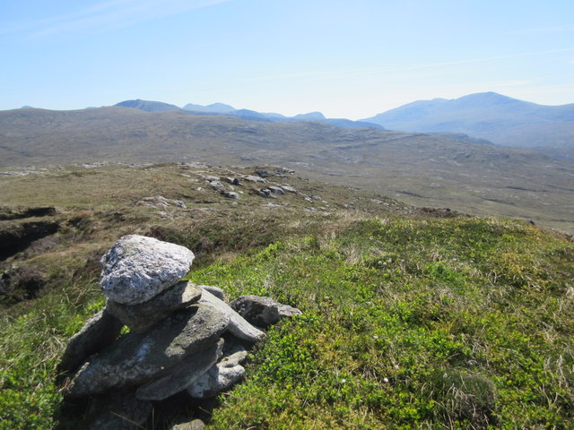
Cleite na Cos Cleit is a prominent hill located in Ross-shire, Scotland. Standing at an elevation of approximately 644 meters (2,113 feet), it is considered one of the prominent peaks in the region. The hill is part of the broader mountain range known as the Northwest Highlands, which is renowned for its stunning natural beauty and abundant wildlife.
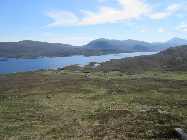
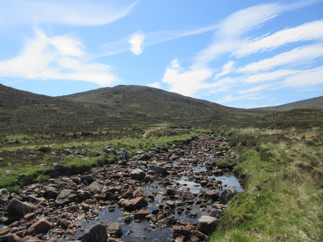
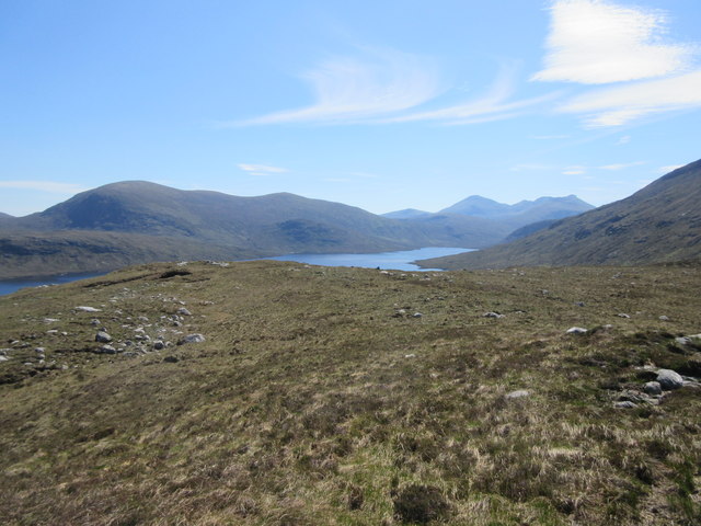
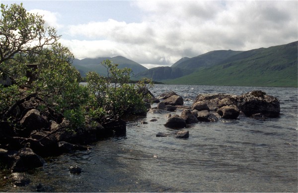
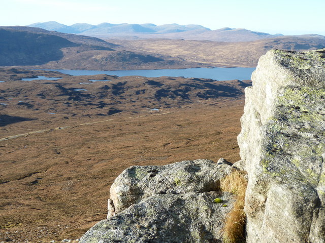
Cleite na Cos Cleit offers breathtaking panoramic views of the surrounding landscape, including nearby lochs, glens, and other mountain peaks. The hill is characterized by its rugged terrain, covered in heather, moss, and scattered rocky outcrops. Its slopes are relatively steep, making it a challenging but rewarding ascent for experienced hikers and mountaineers.
The hill is home to a variety of flora and fauna, including red deer, mountain hares, and numerous species of birds. It also boasts a diverse range of plant life, with heather, bilberry, and mosses being common sights along its slopes.
Access to Cleite na Cos Cleit is typically via designated hiking trails, which may vary in difficulty. It is important for visitors to come prepared with appropriate clothing, equipment, and navigational aids, as the weather conditions can change rapidly and visibility may be limited in certain areas.
Cleite na Cos Cleit offers outdoor enthusiasts an opportunity to immerse themselves in the natural beauty and tranquility of the Scottish Highlands, providing a challenging but rewarding experience for all who venture to its summit.
If you have any feedback on the listing, please let us know in the comments section below.
Cleite na Cos Cleit Images
Images are sourced within 2km of 58.048335/-6.8297783 or Grid Reference NB1516. Thanks to Geograph Open Source API. All images are credited.


Cleite na Cos Cleit is located at Grid Ref: NB1516 (Lat: 58.048335, Lng: -6.8297783)
Unitary Authority: Na h-Eileanan an Iar
Police Authority: Highlands and Islands
What 3 Words
///relies.roving.taps. Near Tarbert, Na h-Eileanan Siar
Nearby Locations
Related Wikis

Ardvourlie Castle
Ardvourlie Castle is a 19th-century country house on Harris, one of the Western Isles off the north-west coast of Scotland. The house was built beside...

Uladail
Uladail is a location near Amhuinnsuidhe, on Harris in the Outer Hebrides, Scotland. Sron Ulladail is a sheer cliff which at 370 metres (1,210 ft) is one...

Seaforth Island
There is also a Seaforth Island in the Whitsunday Islands of Queensland, AustraliaSeaforth Island (Scottish Gaelic: Eilean Shìphoirt/Shìophoirt or Mulag...

Eilean Mòr, Loch Langavat
Eilean Mòr is an island in Loch Langavat on the Isle of Lewis in the Outer Hebrides of Scotland. == Footnotes ==

Uisgneabhal Mor
Uisgnabhal Mor (729 m) is a mountain in Harris, in the Outer Hebrides of Scotland. A complex mountain of several ridges and summits, it lies in the centre...

Gisla Hydro-Electric Scheme
Gisla Hydro-Electric Scheme was a small scheme promoted by the North of Scotland Hydro-Electric Board on the Isle of Lewis, Outer Hebrides, Scotland. It...

Airidh a' Bhruaich
Airidh a' Bhruaich (Arivruaich - anglicised) is a scattered crofting township in the South Lochs district of the Isle of Lewis in the Outer Hebrides of...

Oireabhal
Oireabhal (662 m) is a mountain in Harris, in the Outer Hebrides of Scotland. The peak is the highest point on a complex ridge that runs from north to...
Have you been to Cleite na Cos Cleit?
Leave your review of Cleite na Cos Cleit below (or comments, questions and feedback).