Giolabhal Glas

Hill, Mountain in Inverness-shire

Scotland

Giolabhal Glas

Ceann an Ora A row of modern houses dwarfed by Sròn a' Sgaoth rising above.
Ceann an Ora Credit: Anne Burgess

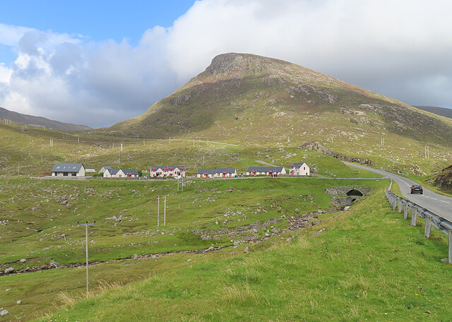
Giolabhal Glas, located in Inverness-shire, Scotland, is a prominent hill/mountain that stands at an impressive height of approximately 919 meters (3,015 feet) above sea level. It is part of the wider Glen Affric region, which is renowned for its breathtaking natural beauty and rugged landscapes.

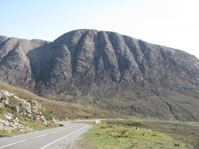
The hill/mountain is a popular destination for outdoor enthusiasts and hikers, offering a challenging yet rewarding ascent. Its distinctive pyramid shape and steep slopes provide a formidable challenge for those looking to conquer its summit. While not as well-known as some of the other peaks in the region, Giolabhal Glas rewards climbers with stunning panoramic views of the surrounding area.

One of the notable features of Giolabhal Glas is its location within the wider Glen Affric Nature Reserve. This reserve is home to a diverse range of flora and fauna, including rare species such as golden eagles, red deer, and pine martens. The hill/mountain itself is covered in heather and grasses, providing a vibrant patchwork of colors during the summer months.

Giolabhal Glas is also surrounded by several other peaks, including Sgurr na Lapaich and Mam Sodhail, which form a dramatic backdrop to the area. As such, it is often included as part of longer hiking routes that explore the wider Glen Affric region.

In conclusion, Giolabhal Glas is a majestic hill/mountain in Inverness-shire, offering a challenging yet rewarding climb and stunning views of the surrounding area. Its location within the Glen Affric Nature Reserve adds to its appeal, making it a must-visit destination for nature lovers and outdoor enthusiasts.

If you have any feedback on the listing, please let us know in the comments section below.

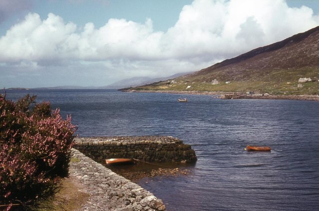
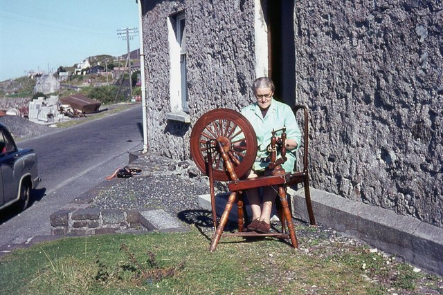
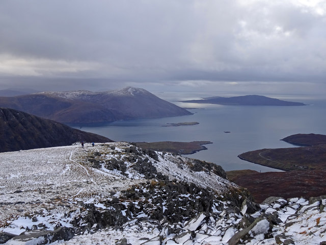
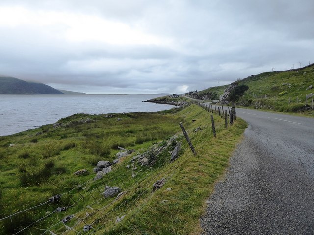
Giolabhal Glas Images

Images are sourced within 2km of 57.918086/-6.8160282 or Grid Reference NB1402. Thanks to Geograph Open Source API. All images are credited.

Ceann an Ora A row of modern houses dwarfed by Sròn a' Sgaoth rising above.
Ceann an Ora
A row of modern houses dwarfed by Sròn a' Sgaoth rising above.
Road junction at Ãird Asaig/Ardhasaig The appropriately named 'Roadside Cottage' on the right, with Mulla bho Dheas partially obscured by cloud.
Road junction at Ãird Asaig/Ardhasaig
The appropriately named 'Roadside Cottage' on the right, with Mulla bho Dheas partially obscured by cloud.
The cliffs of Geodhan Dubh The northern aspect of Gillaval Dubh, seen from the A859 looking south.
The cliffs of Geodhan Dubh
The northern aspect of Gillaval Dubh, seen from the A859 looking south.
Road junction at Ãird Asaig Left on the B887 to Hushinish and straight on for North Harris and Lewis, on the A859.
Road junction at Ãird Asaig
Left on the B887 to Hushinish and straight on for North Harris and Lewis, on the A859.
Filling station at Ãird Asaig And licensed grocers, on the A859 just north of Tarbert/An Tairbeart.
Filling station at Ãird Asaig
And licensed grocers, on the A859 just north of Tarbert/An Tairbeart.
Boat by the old school house Isn't BRD = Bridlington??
Boat by the old school house
Isn't BRD = Bridlington??
West Loch Tarbert from the pier
West Loch Tarbert piers
Spinning wool for tweed in Harris
Ceann an Ora
Ceann an Ora
First Foot Almost certainly we were the first visitors to the Glen Skeuadale Horseshoe above Tarbert on New Years Day. A day of vicious wintry showers and the rainbow shows that one is approaching fast.
First Foot
Almost certainly we were the first visitors to the Glen Skeuadale Horseshoe above Tarbert on New Years Day. A day of vicious wintry showers and the rainbow shows that one is approaching fast.
Winging It Descending from the lovely hill of Sgaoth Iosal on New Year's day with views of the island of Taransay and the hills above Losgaintir. A lovely way to start the year.
Winging It
Descending from the lovely hill of Sgaoth Iosal on New Year's day with views of the island of Taransay and the hills above Losgaintir. A lovely way to start the year.
Looking towards Aird Asaig from the A859
The A859 and the shore of Loch a' Siar
Ardhasaig, Harris in 1975 On the A859 NW of Tarbert, when it was a single-track road. Ahead is the ridge rising to the summit of Clisham (An Cliseam, 799m), the highest point in the Outer Hebrides.
Ardhasaig, Harris in 1975
On the A859 NW of Tarbert, when it was a single-track road. Ahead is the ridge rising to the summit of Clisham (An Cliseam, 799m), the highest point in the Outer Hebrides.
West Loch Tarbert The quieter end of the village
West Loch Tarbert
The quieter end of the village
The old pier at the end of Old Pier Road, Tarbert (An Tairbeart)
Taobh Siar and Loch a' Siar, Tarbert Literally, west side and west loch.
Taobh Siar and Loch a' Siar, Tarbert
Literally, west side and west loch.
Show me another place!

Giolabhal Glas is located at Grid Ref: NB1402 (Lat: 57.918086, Lng: -6.8160282)

Unitary Authority: Na h-Eileanan an Iar

Police Authority: Highlands and Islands

What 3 Words

///crossword.wrenching.admiral. Near Tarbert, Na h-Eileanan Siar

Related Wikis

Harris, Outer Hebrides

Harris (Scottish Gaelic: Na Hearadh, pronounced [nə ˈhɛɾəɣ] ) is the southern and more mountainous part of Lewis and Harris, the largest island in the...
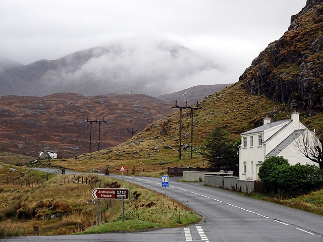
Ardhasaig

Ardhasaig (Scottish Gaelic: Àird Àsaig) is a settlement on the western coast of north Harris, in the Outer Hebrides, Scotland. Ardhasaig is also within...
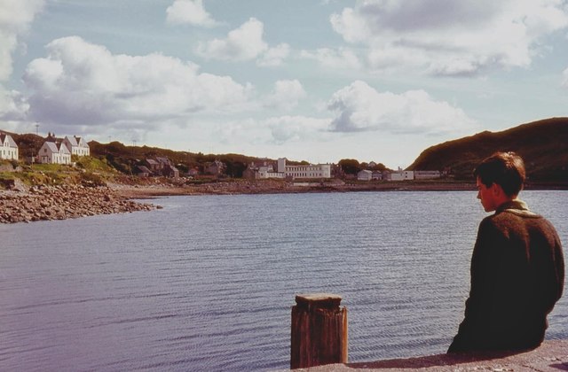
Tarbert, Harris

Tarbert (Scottish Gaelic: An Tairbeart [ən̪ˠ ˈt̪ɛrʲɛbərˠʃt̪]) is the main community on Harris in the Western Isles of Scotland. The name means "isthmus...

Harris distillery

Harris distillery is a Scotch whisky and Gin distillery in Tarbert on the Isle of Harris, Scotland. The distillery was the first legal distillery ever...

Nearby Amenities

Located within 500m of 57.918086,-6.8160282
Giolabhal Glas
Ele: 475
Name En: Gillaval Glas
Name Gd: Giolabhal Glas
Natural: peak
Source: OS7
Lat/Long: 57.917141/-6.8151909
The data included in this document is from www.openstreetmap.org. The data is made available under ODbL.

Have you been to Giolabhal Glas?

Leave your review of Giolabhal Glas below (or comments, questions and feedback).