Cleit Chathadail

Hill, Mountain in Inverness-shire

Scotland

Cleit Chathadail

Summit cairn on Oireabhal with view towards Ulabhal
Summit cairn on Oireabhal with view towards Ulabhal Credit: Colin Park

Cleit Chathadail is a hill located in Inverness-shire, Scotland. It is situated near the village of Invergarry and is part of the Scottish Highlands. The hill stands at an elevation of 542 meters (1,778 feet) above sea level.

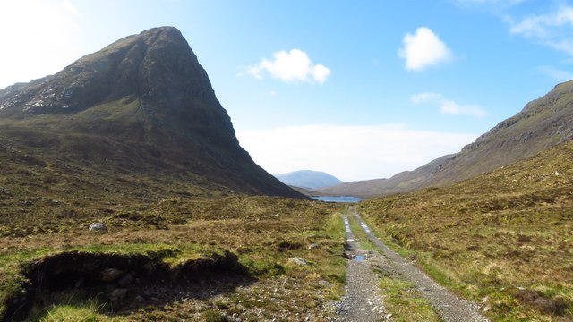
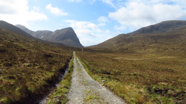
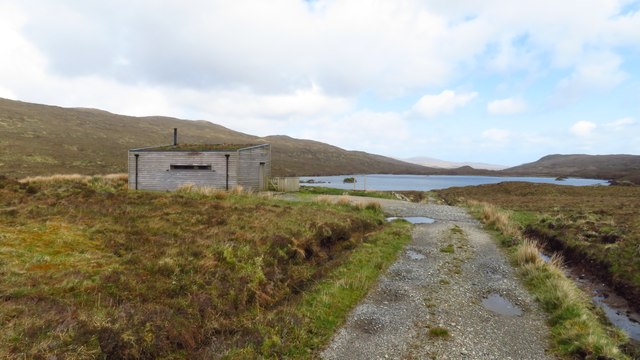
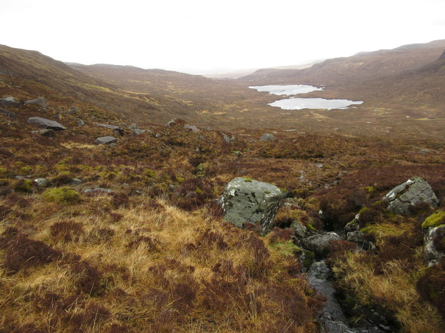
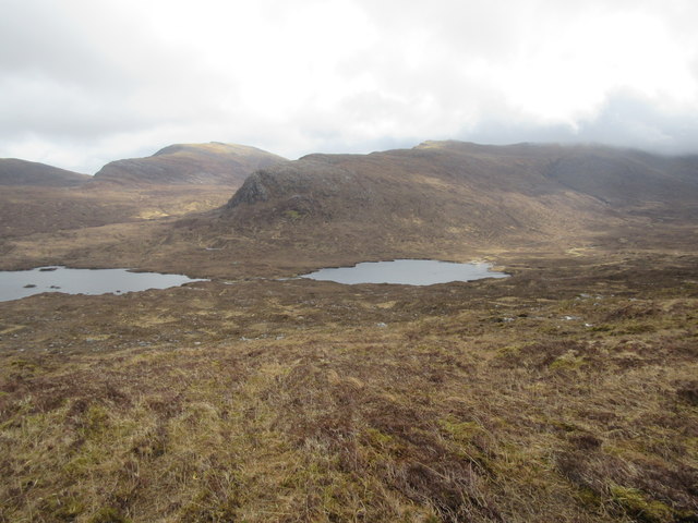
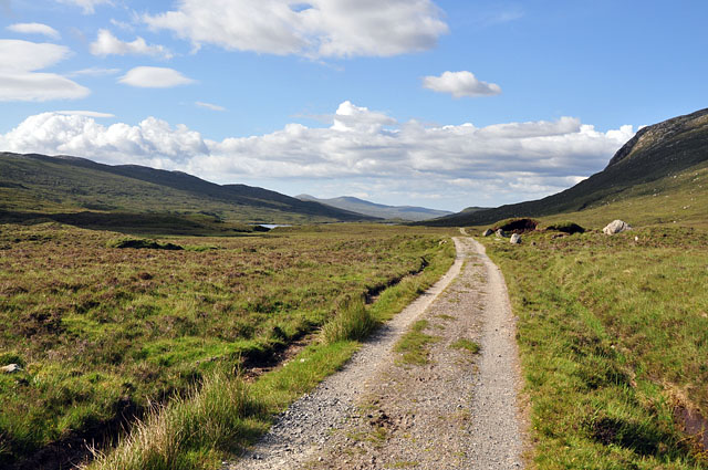
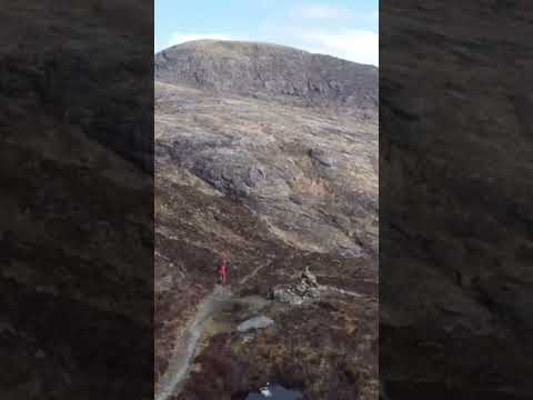
Cleit Chathadail is popular among hikers and outdoor enthusiasts due to its stunning views of the surrounding countryside and the nearby Loch Garry. The hill is known for its rugged terrain, with steep slopes and rocky outcrops making it a challenging but rewarding climb.

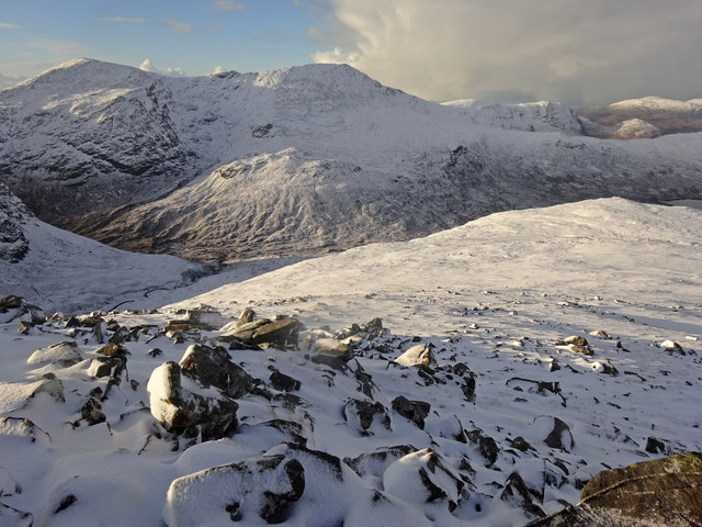
The summit of Cleit Chathadail offers panoramic views of the surrounding mountains and valleys, including views of Ben Nevis, the highest peak in the British Isles. On a clear day, visitors can see for miles around, taking in the beauty of the Scottish Highlands.

The hill is accessible via a number of walking trails, with the most popular route starting from the village of Invergarry. Hikers should be prepared for changeable weather conditions and should ensure they have proper equipment and clothing for the hike. Cleit Chathadail is a must-visit destination for those looking to experience the natural beauty of the Scottish Highlands.

If you have any feedback on the listing, please let us know in the comments section below.

Cleit Chathadail Images

Images are sourced within 2km of 57.991582/-6.9136631 or Grid Reference NB0910. Thanks to Geograph Open Source API. All images are credited.

Summit cairn on Oireabhal with view towards Ulabhal
View south along track towards Sron Scourst
Bird hide overlooking Loch Bhoisimid
Eastern side of Ulabhal The lower slopes of Ulabhal are rough and tussocky on this side. the twin lochs are Lochan an Fheoir and Loch Bhoisimid.
Eastern side of Ulabhal
The lower slopes of Ulabhal are rough and tussocky on this side. the twin lochs are Lochan an Fheoir and Loch Bhoisimid.
Upper Gleann Mhiabhaig Across the glen, the steep crags on Sron Ard rise above the lochs, Loch Bhoisimid and Lochan an Fheoir.
Upper Gleann Mhiabhaig
Across the glen, the steep crags on Sron Ard rise above the lochs, Loch Bhoisimid and Lochan an Fheoir.
Above Gleann Mhiabhaig Descending the peak of Teileasbhal on a fine winters day looking across Gleann Mhiabhaig to the peaks of Oireabhal and Ulabhal.
Above Gleann Mhiabhaig
Descending the peak of Teileasbhal on a fine winters day looking across Gleann Mhiabhaig to the peaks of Oireabhal and Ulabhal.
On the ridge north of Oireabhal with view towards Ulabhal
Rocky outcrop on ridge leading north towards Ulabhal
Cleft in rock and view down through Cathadail towards Sron Scourst
Summit cairn on Ulabhal
View north from Ulabhal towards Muladal The northern slope from Ulabhal is initially a boulder field.
View north from Ulabhal towards Muladal
The northern slope from Ulabhal is initially a boulder field.
Track by Loch Bhoisimid Track and small bothy with Loch Bhoisimid beyond
Track by Loch Bhoisimid
Track and small bothy with Loch Bhoisimid beyond
Glen Meavaig track This estate tracks runs past Loch Scourst and the towering crag of Sron Scourst to the end of the glen and more fishing lochs.
Glen Meavaig track
This estate tracks runs past Loch Scourst and the towering crag of Sron Scourst to the end of the glen and more fishing lochs.
Watershed of Glen Meavaig Looking across the boggy ground at the high point of Glen Meavaig to Loch Voshimid, where the track ends.
Watershed of Glen Meavaig
Looking across the boggy ground at the high point of Glen Meavaig to Loch Voshimid, where the track ends.
Track in Glen Meavaig The estate track just after crossing the watershed, leading to the fishing lochs.
Track in Glen Meavaig
The estate track just after crossing the watershed, leading to the fishing lochs.
Concreted ford in Glen Meavaig This concreted ford with tubes serves as a low bridge over the burn draining the corrie above. The 500m peak of Sron Scourst looms spectacularly in the background.
Concreted ford in Glen Meavaig
This concreted ford with tubes serves as a low bridge over the burn draining the corrie above. The 500m peak of Sron Scourst looms spectacularly in the background.
Sron Scourst and Gleann Mhiabhaig
Show me another place!

Cleit Chathadail is located at Grid Ref: NB0910 (Lat: 57.991582, Lng: -6.9136631)

Unitary Authority: Na h-Eileanan an Iar

Police Authority: Highlands and Islands

What 3 Words

///minute.foggy.excavated. Near Tarbert, Na h-Eileanan Siar

Nearby Locations

Cleit Chathadail

Related Wikis

Oireabhal

Oireabhal (662 m) is a mountain in Harris, in the Outer Hebrides of Scotland. The peak is the highest point on a complex ridge that runs from north to...

Uladail

Uladail is a location near Amhuinnsuidhe, on Harris in the Outer Hebrides, Scotland. Sron Ulladail is a sheer cliff which at 370 metres (1,210 ft) is one...

Uisgneabhal Mor

Uisgnabhal Mor (729 m) is a mountain in Harris, in the Outer Hebrides of Scotland. A complex mountain of several ridges and summits, it lies in the centre...

Chliostair Hydro-Electric Scheme

Chliostair Hydro-Electric Scheme is a small scheme promoted by the North of Scotland Hydro-Electric Board on Harris, Outer Hebrides. It consists of a single...

Related Videos

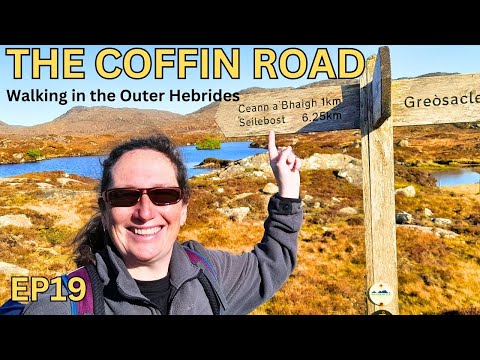
Hiking The Iconic Coffin Road in the Outer Hebrides

Join us as we embark on an incredible journey along the iconic Coffin Road in the stunning Outer Hebrides. *Read on for more ...

Isle of Harris | Outer Hebrides Road Trip

Hey travelers, welcome back to our Outer Hebrides series and to our next stop, the Isle of Harris! In this video we visit Luskintyre ...

Nearby Amenities

Located within 500m of 57.991582,-6.9136631
Cleit Chathadail
Ele: 286
Natural: peak
Source: OS 7TH SERIES HISTORIC
Lat/Long: 57.9918394/-6.9148696
The data included in this document is from www.openstreetmap.org. The data is made available under ODbL.

Have you been to Cleit Chathadail?

Leave your review of Cleit Chathadail below (or comments, questions and feedback).