Maoladh Mhicearraig

Hill, Mountain in Inverness-shire

Scotland

Maoladh Mhicearraig

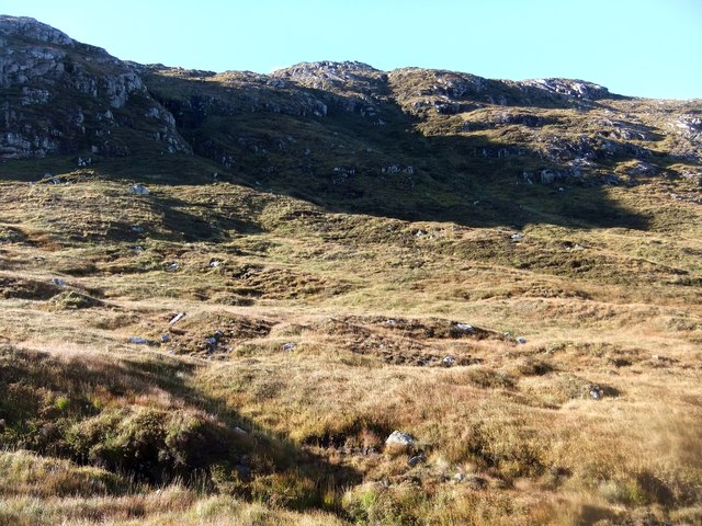
Start of the coffin road
Start of the coffin road Credit: David Brown

The requested URL returned error: 429 Too Many Requests

If you have any feedback on the listing, please let us know in the comments section below.

Maoladh Mhicearraig Images

Images are sourced within 2km of 57.843517/-6.8995773 or Grid Reference NG0994. Thanks to Geograph Open Source API. All images are credited.

Start of the coffin road
Remains of fence by the track
Loch a' Bhealaich
Loch a' Bhealaich
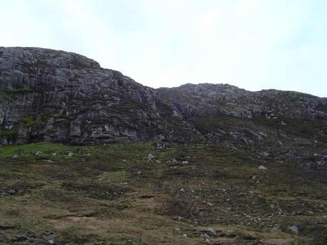
Creag an Eoin
Creag an Eoin
On the coffin road by Loch a' Bhealaich
The Coffin Road The land in East Harris is so thin above the underlying rock, it is said, that it is not possible to bury the dead.  Traditionally this trail was used to carry the dead for burial in the deeper ground of the West.  Now it makes a pleasant walk into the hills and across the island for the visitor.  Nevertheless the thought of carrying a coffin would be daunting and the thought crosses the mind several times during the day
The Coffin Road
The land in East Harris is so thin above the underlying rock, it is said, that it is not possible to bury the dead. Traditionally this trail was used to carry the dead for burial in the deeper ground of the West. Now it makes a pleasant walk into the hills and across the island for the visitor. Nevertheless the thought of carrying a coffin would be daunting and the thought crosses the mind several times during the day
Creag an Eoin View west from the Coffin Road
Creag an Eoin
View west from the Coffin Road
Loch Heileasbhal Loch Heileasbhal from the col between Carran and Heileasbhal Mor.
Loch Heileasbhal
Loch Heileasbhal from the col between Carran and Heileasbhal Mor.
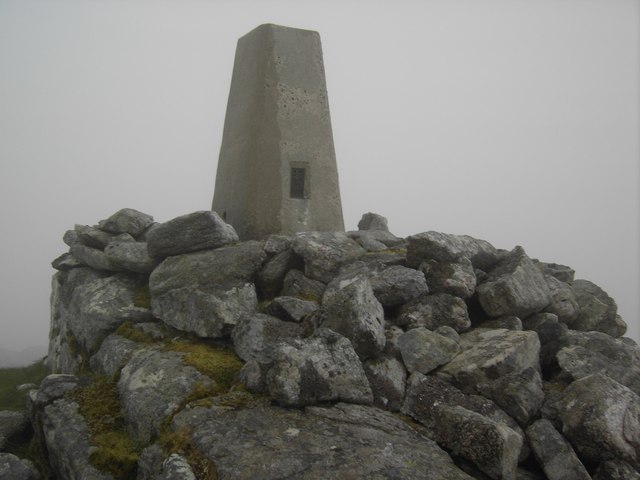
An Coileach Trig Point An Coileach trig point.
An Coileach Trig Point
An Coileach trig point.
Abhainn Gil an Tàilleir A weir on the burn is used as an intake for a water supply. There is a small treatment works nearby.
Abhainn Gil an Tàilleir
A weir on the burn is used as an intake for a water supply. There is a small treatment works nearby.
Carran Gentle in angle, if not terrain type, the southern slopes of Carran.
Carran
Gentle in angle, if not terrain type, the southern slopes of Carran.
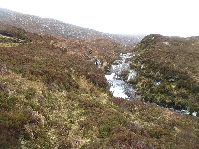
Allt Bealach na Ciste Burn draining Loch Heileasbhal. The water is running down gneiss slabs.
Allt Bealach na Ciste
Burn draining Loch Heileasbhal. The water is running down gneiss slabs.
Glen Dullin River Burn draining Gleann Dubhlinn.
Glen Dullin River
Burn draining Gleann Dubhlinn.
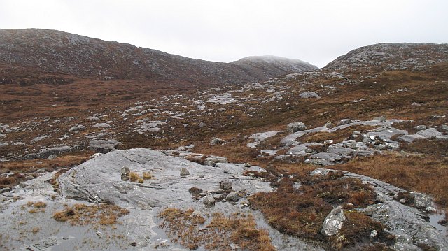
Gleann Dubhlinn Slabby gneiss outcrops and bogs between Ceann Reamhar na Sròine (centre) and Clunaisbhal.
Gleann Dubhlinn
Slabby gneiss outcrops and bogs between Ceann Reamhar na Sròine (centre) and Clunaisbhal.
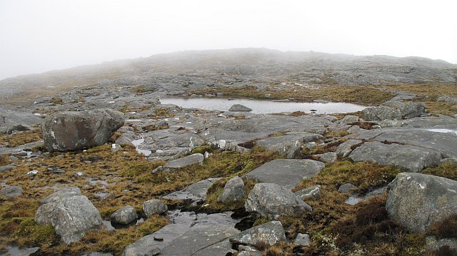
Ceann Reamhar na Sròine The summit area with pools trapped in the slabby rocks.
Ceann Reamhar na Sròine
The summit area with pools trapped in the slabby rocks.
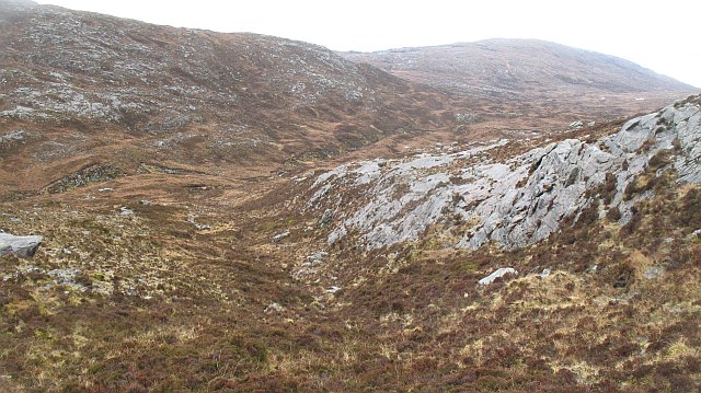
West side of Ceann Reamhar na Sròine Looking down into Glen Dubhlinn from near the col between Ceann Reamhar na Sròine and Maoladh Mhicearraig.
West side of Ceann Reamhar na Sròine
Looking down into Glen Dubhlinn from near the col between Ceann Reamhar na Sròine and Maoladh Mhicearraig.
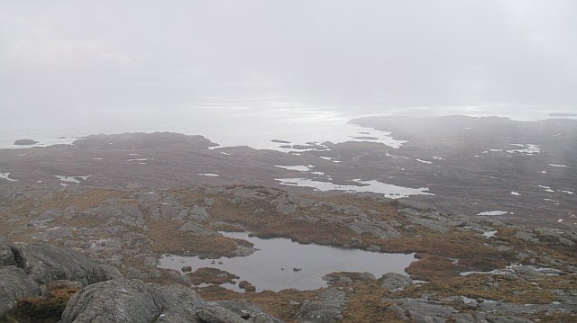
South ridge, Ceann Reamhar na Sròine Looking southwards from near the summit of Ceann Reamhar na Sròine. View over the Bays, the rugged, Labrador like east coast of Harris. Utterly barren; an area of peat, rock and many lochans.
South ridge, Ceann Reamhar na Sròine
Looking southwards from near the summit of Ceann Reamhar na Sròine. View over the Bays, the rugged, Labrador like east coast of Harris. Utterly barren; an area of peat, rock and many lochans.
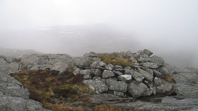
Cairn, Ceann Reamhar na Sròine An old looking cairn, just south of the summit of Ceann Reamhar na Sròine. The mist is lifting revealing a barren rocky landscape which will be familiar to anyone who has flown over northern Canada.
Cairn, Ceann Reamhar na Sròine
An old looking cairn, just south of the summit of Ceann Reamhar na Sròine. The mist is lifting revealing a barren rocky landscape which will be familiar to anyone who has flown over northern Canada.
Show me another place!

Maoladh Mhicearraig is located at Grid Ref: NG0994 (Lat: 57.843517, Lng: -6.8995773)

Unitary Authority: Na h-Eileanan an Iar

Police Authority: Highlands and Islands

What 3 Words

///converter.install.joked. Near Tarbert, Na h-Eileanan Siar

Related Wikis

Luskentyre

Luskentyre (Scottish Gaelic: Losgaintir) is a sparse settlement on the west coast of Harris, in the Outer Hebrides, Scotland. Luskentyre is situated within...

Stockinish Island

Stockinish Island (Scottish Gaelic: Eilean Stocainis) is an uninhabited island off Harris, in the Outer Hebrides. == Geography and geology == Stockinish...

Borve, Harris

Borve (Scottish Gaelic: Na Buirgh) is a village in Harris in the Outer Hebrides, Scotland. Borve is also within the parish of Harris, and is on the A859...

Tarbert, Harris

Tarbert (Scottish Gaelic: An Tairbeart [ən̪ˠ ˈt̪ɛrʲɛbərˠʃt̪]) is the main community on Harris in the Western Isles of Scotland. The name means "isthmus...

Nearby Amenities

Located within 500m of 57.843517,-6.8995773
Maoladh Mhicearraig
Ele: 340
Natural: peak
Lat/Long: 57.8431549/-6.8998356
The data included in this document is from www.openstreetmap.org. The data is made available under ODbL.

Have you been to Maoladh Mhicearraig?

Leave your review of Maoladh Mhicearraig below (or comments, questions and feedback).