Ceann Reamhar na Sròine

Hill, Mountain in Inverness-shire

Scotland

Ceann Reamhar na Sròine

Creag an Eoin
Creag an Eoin Credit: David Brown

The requested URL returned error: 429 Too Many Requests

If you have any feedback on the listing, please let us know in the comments section below.

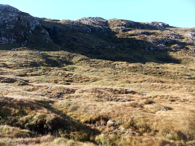
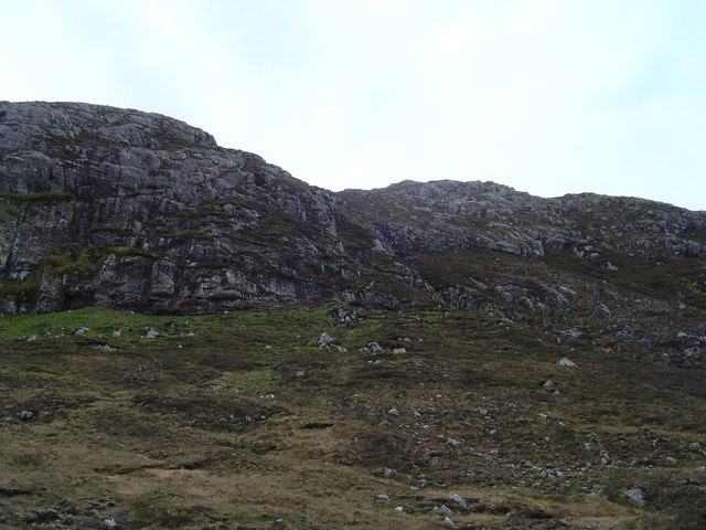
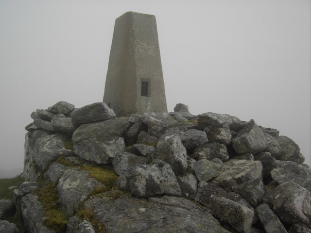
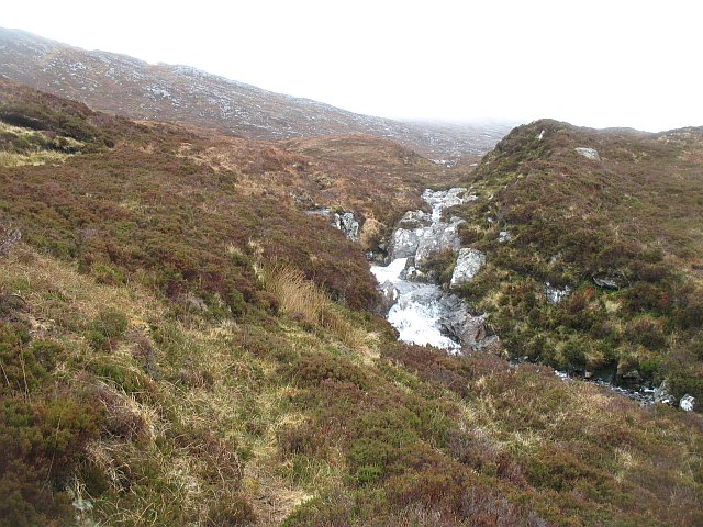
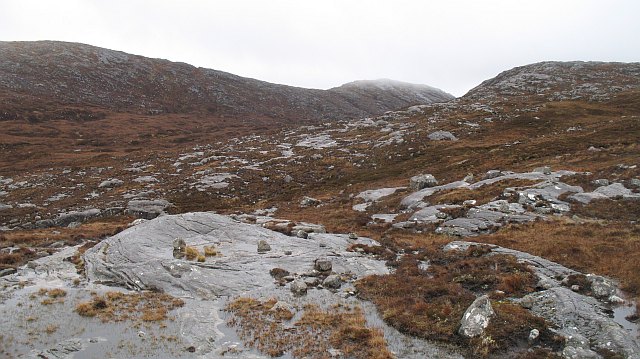
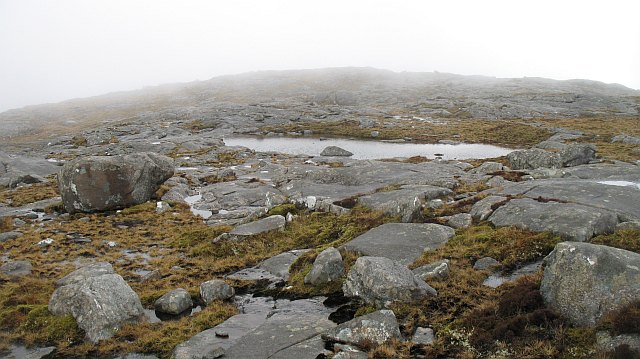
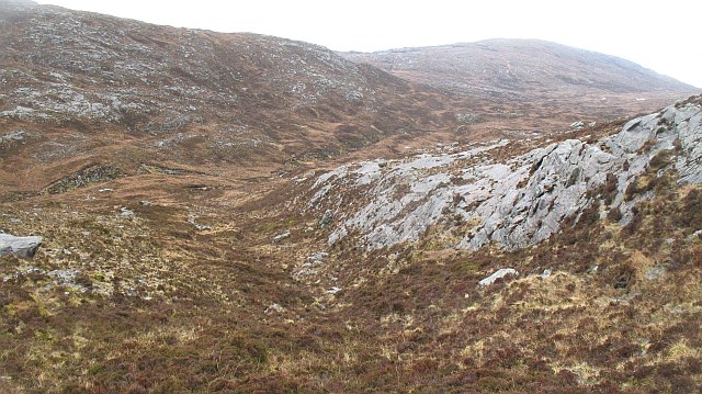
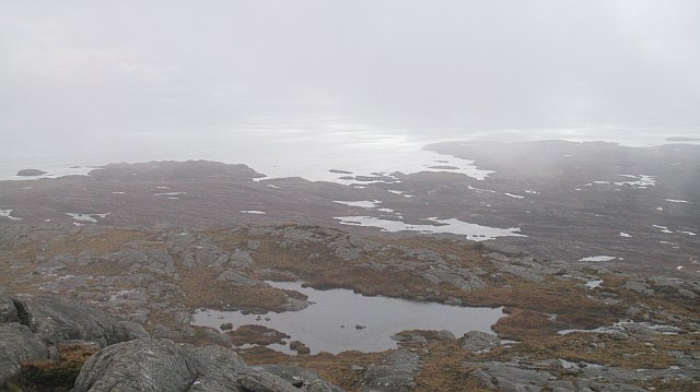
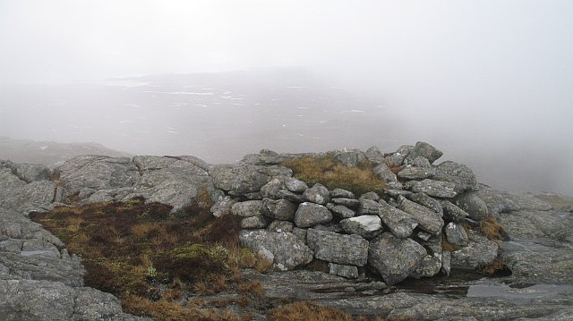
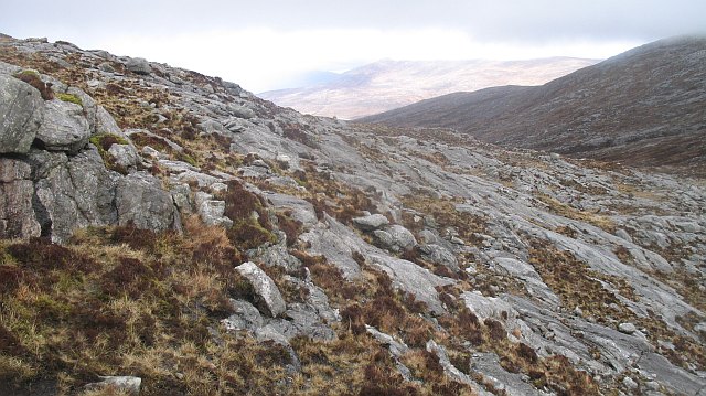
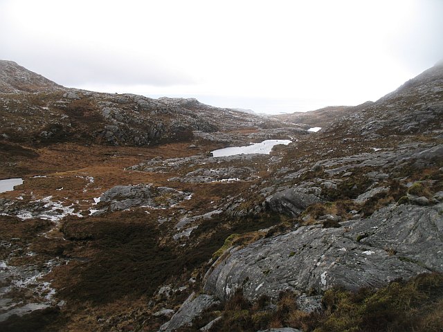
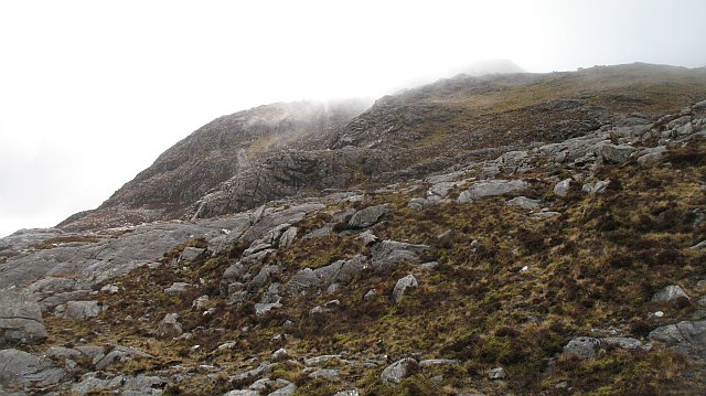
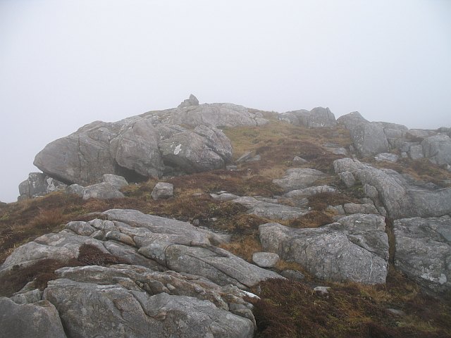
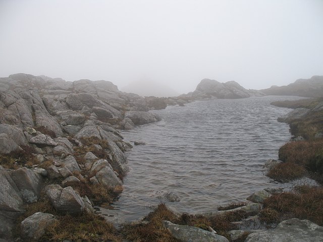
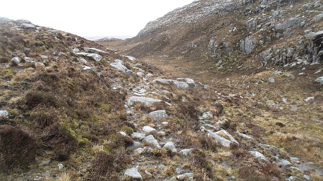
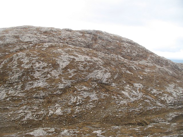
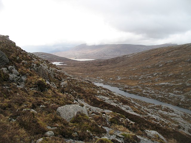
Ceann Reamhar na Sròine Images

Images are sourced within 2km of 57.832296/-6.8989446 or Grid Reference NG0993. Thanks to Geograph Open Source API. All images are credited.

Creag an Eoin
Creag an Eoin
Creag an Eoin View west from the Coffin Road
Creag an Eoin
View west from the Coffin Road
An Coileach Trig Point An Coileach trig point.
An Coileach Trig Point
An Coileach trig point.
Glen Dullin River Burn draining Gleann Dubhlinn.
Glen Dullin River
Burn draining Gleann Dubhlinn.
Gleann Dubhlinn Slabby gneiss outcrops and bogs between Ceann Reamhar na Sròine (centre) and Clunaisbhal.
Gleann Dubhlinn
Slabby gneiss outcrops and bogs between Ceann Reamhar na Sròine (centre) and Clunaisbhal.
Ceann Reamhar na Sròine The summit area with pools trapped in the slabby rocks.
Ceann Reamhar na Sròine
The summit area with pools trapped in the slabby rocks.
West side of Ceann Reamhar na Sròine Looking down into Glen Dubhlinn from near the col between Ceann Reamhar na Sròine and Maoladh Mhicearraig.
West side of Ceann Reamhar na Sròine
Looking down into Glen Dubhlinn from near the col between Ceann Reamhar na Sròine and Maoladh Mhicearraig.
South ridge, Ceann Reamhar na Sròine Looking southwards from near the summit of Ceann Reamhar na Sròine. View over the Bays, the rugged, Labrador like east coast of Harris. Utterly barren; an area of peat, rock and many lochans.
South ridge, Ceann Reamhar na Sròine
Looking southwards from near the summit of Ceann Reamhar na Sròine. View over the Bays, the rugged, Labrador like east coast of Harris. Utterly barren; an area of peat, rock and many lochans.
Cairn, Ceann Reamhar na Sròine An old looking cairn, just south of the summit of Ceann Reamhar na Sròine. The mist is lifting revealing a barren rocky landscape which will be familiar to anyone who has flown over northern Canada.
Cairn, Ceann Reamhar na Sròine
An old looking cairn, just south of the summit of Ceann Reamhar na Sròine. The mist is lifting revealing a barren rocky landscape which will be familiar to anyone who has flown over northern Canada.
Stony flanks of Clunaisbhal Looking down Gleann Dubhlinn from the slopes of Clunaisbhal and An Coileach. There is a lot of ice polished gneiss in the area, things get increasingly rocky to the south and east.
Stony flanks of Clunaisbhal
Looking down Gleann Dubhlinn from the slopes of Clunaisbhal and An Coileach. There is a lot of ice polished gneiss in the area, things get increasingly rocky to the south and east.
Bealach Garbh Aptly named pass between An Coileach and Ceann Reamhar na Sròine.
Bealach Garbh
Aptly named pass between An Coileach and Ceann Reamhar na Sròine.
An Coileach Eastern flanks of a very rugged hill.
An Coileach
Eastern flanks of a very rugged hill.
An Coileach The summit. An Coileach is a very rugged rocky peak with some steep ground to the north of the summit.
An Coileach
The summit. An Coileach is a very rugged rocky peak with some steep ground to the north of the summit.
Lochan, An Coileach A pool trapped by rocks near the summit. The small peak in the mist carries the triangulation pillar.
Lochan, An Coileach
A pool trapped by rocks near the summit. The small peak in the mist carries the triangulation pillar.
Bealach na Ciste A coffin road?  Traces of a path at the summit of a pass through the small but very rugged hills of South Harris.
Bealach na Ciste
A coffin road? Traces of a path at the summit of a pass through the small but very rugged hills of South Harris.
An Coileach The western side of the hill, above the Bealach na Ciste.
An Coileach
The western side of the hill, above the Bealach na Ciste.
Bealach na Ciste Lochan near the summit of the pass.
Bealach na Ciste
Lochan near the summit of the pass.
East side of Heileasbhal Mòr Steep ground above Bealach na Ciste.
East side of Heileasbhal Mòr
Steep ground above Bealach na Ciste.
Show me another place!

Ceann Reamhar na Sròine is located at Grid Ref: NG0993 (Lat: 57.832296, Lng: -6.8989446)

Unitary Authority: Na h-Eileanan an Iar

Police Authority: Highlands and Islands

What 3 Words

///marbles.witty.bolsters. Near Tarbert, Na h-Eileanan Siar

Nearby Locations

Ceann Reamhar na Sròine

Related Wikis

Stockinish Island

Stockinish Island (Scottish Gaelic: Eilean Stocainis) is an uninhabited island off Harris, in the Outer Hebrides. == Geography and geology == Stockinish...

Borve, Harris

Borve (Scottish Gaelic: Na Buirgh) is a village in Harris in the Outer Hebrides, Scotland. Borve is also within the parish of Harris, and is on the A859...

Luskentyre

Luskentyre (Scottish Gaelic: Losgaintir) is a sparse settlement on the west coast of Harris, in the Outer Hebrides, Scotland. Luskentyre is situated within...

Borsham

Borsham (Scottish Gaelic: Boirseam) is a village in the 'Bays' area of Harris in the Outer Hebrides, Scotland. Borsham is within the parish of Harris....

Nearby Amenities

Located within 500m of 57.832296,-6.8989446
Ceann Reamhar na Sròine
Ele: 355
Natural: peak
Lat/Long: 57.8320325/-6.8982842
The data included in this document is from www.openstreetmap.org. The data is made available under ODbL.

Have you been to Ceann Reamhar na Sròine?

Leave your review of Ceann Reamhar na Sròine below (or comments, questions and feedback).