Ciorabhal
Hill, Mountain in Ross-shire
Scotland
Ciorabhal
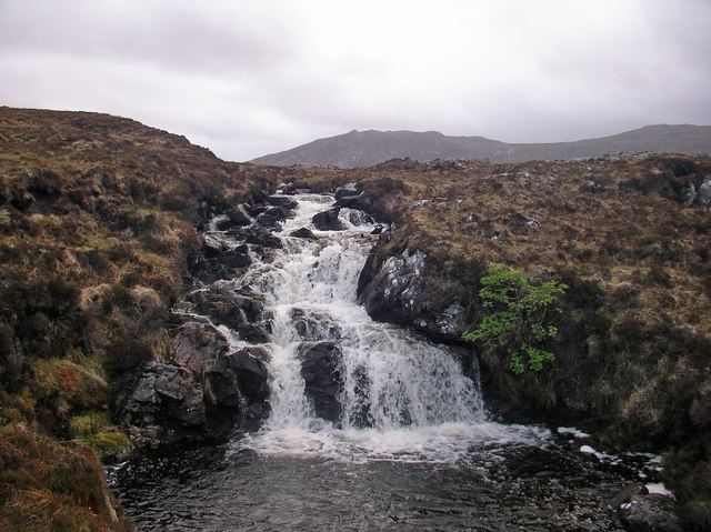
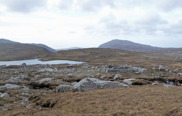
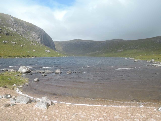
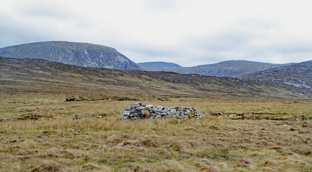
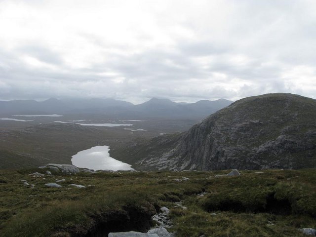
Ciorabhal is a prominent hill located in Ross-shire, Scotland. Standing at an elevation of 762 meters (2,500 feet), it offers stunning panoramic views of the surrounding rugged landscape. The hill is a popular destination for hikers and outdoor enthusiasts, with several well-marked trails leading to the summit.
Ciorabhal is known for its challenging terrain, with steep slopes and rocky outcrops that require a moderate level of fitness and hiking experience to navigate. The summit provides a rewarding vantage point, offering unobstructed views of the surrounding countryside, including nearby lochs and rolling hills.
The hill is also home to a diverse range of flora and fauna, with heather, mosses, and lichens covering the rocky slopes, and birds of prey such as eagles and falcons often spotted soaring overhead.
Overall, Ciorabhal is a stunning natural landmark in Ross-shire, offering outdoor enthusiasts a challenging yet rewarding hiking experience with breathtaking views of the Scottish Highlands.
If you have any feedback on the listing, please let us know in the comments section below.
Ciorabhal Images
Images are sourced within 2km of 58.106977/-6.9775126 or Grid Reference NB0623. Thanks to Geograph Open Source API. All images are credited.

Ciorabhal is located at Grid Ref: NB0623 (Lat: 58.106977, Lng: -6.9775126)
Unitary Authority: Na h-Eileanan an Iar
Police Authority: Highlands and Islands
What 3 Words
///colleague.partied.prominent. Near Carloway, Na h-Eileanan Siar
Nearby Locations
Related Wikis

Gasker
Gasker is a small uninhabited islet in the Outer Hebrides of Scotland, 8 kilometres (4+1⁄2 nautical miles) southwest of Scarp, off the west coast of Harris...

Gisla Hydro-Electric Scheme
Gisla Hydro-Electric Scheme was a small scheme promoted by the North of Scotland Hydro-Electric Board on the Isle of Lewis, Outer Hebrides, Scotland. It...

Game pieces of the Lewis chessmen hoard
Game pieces of the Lewis chessmen hoard include the ninety-three game pieces of the Lewis chessmen hoard found on the Isle of Lewis in the Outer Hebrides...

Mealista
Mealista (Scottish Gaelic: Mealasta) was a township in the west of the Isle of Lewis. It is currently largely uninhabited due to the Highland Clearances...
Nearby Amenities
Located within 500m of 58.106977,-6.9775126Have you been to Ciorabhal?
Leave your review of Ciorabhal below (or comments, questions and feedback).