Cnoc Mòr
Hill, Mountain in Ross-shire
Scotland
Cnoc Mòr
Cnoc Mòr is a prominent hill located in Ross-shire, Scotland. Situated in the Northwest Highlands, it forms part of the larger mountain range known as the Torridon Hills. Standing at an impressive height of 1,046 meters (3,432 feet), it is one of the highest peaks in the region.
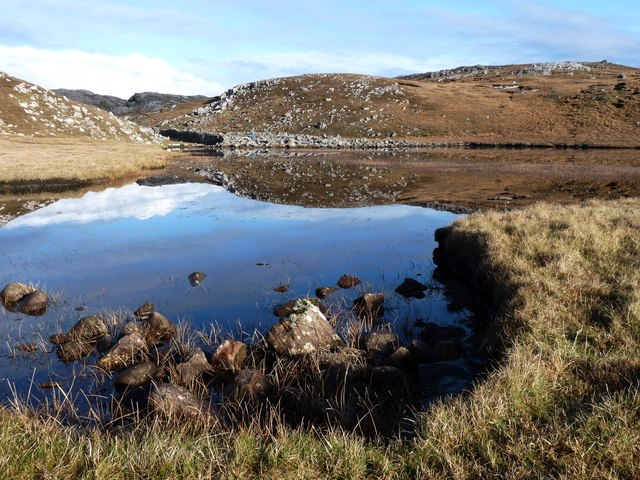
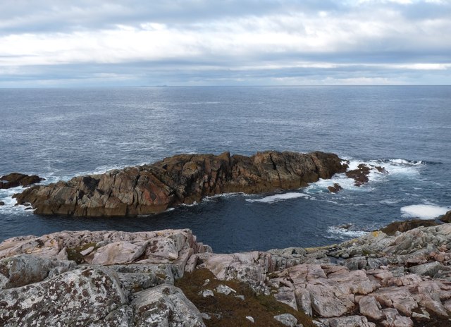
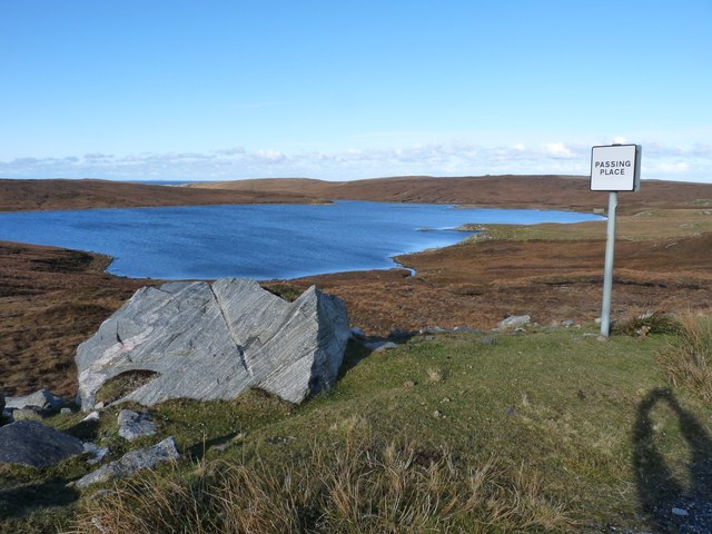
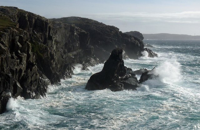
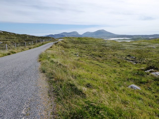
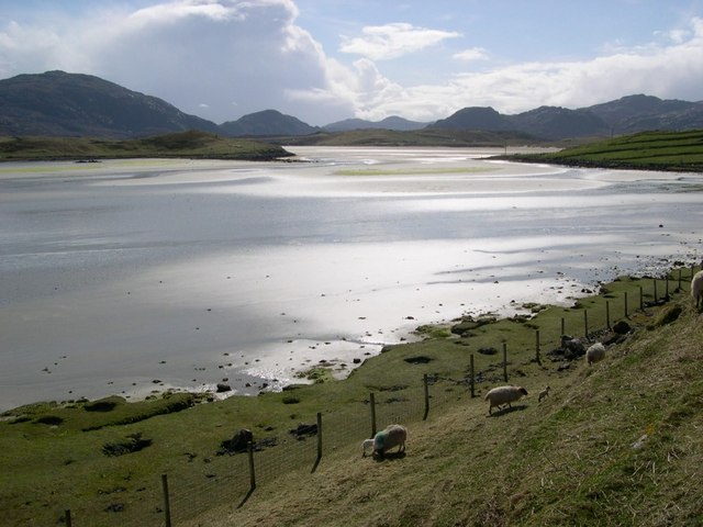
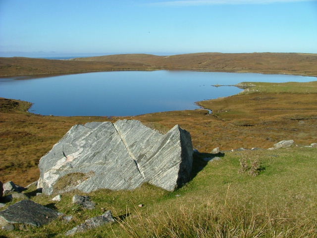
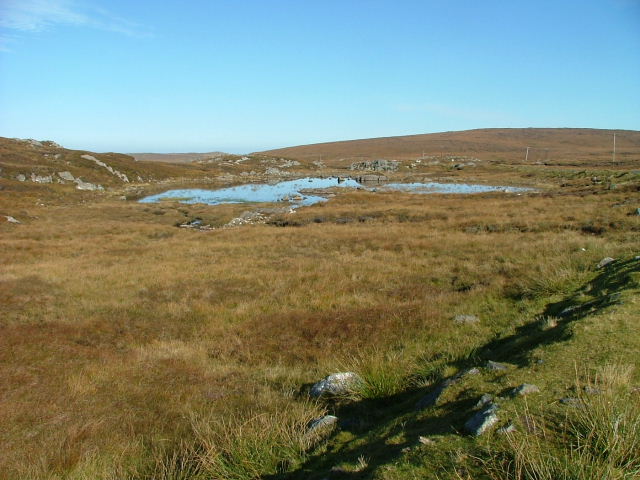
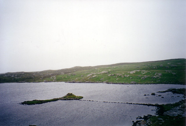
The hill is characterized by its rugged and rocky terrain, with steep slopes and craggy cliffs. It offers a challenging ascent for hikers and mountaineers, attracting outdoor enthusiasts from around the world. The summit provides breathtaking panoramic views of the surrounding landscape, including the nearby Loch Maree, one of Scotland's largest freshwater lochs.
Cnoc Mòr is known for its diverse flora and fauna. The lower slopes are covered in heather and grasses, while higher up, the vegetation thins out, giving way to mosses and lichens. The hill is home to various bird species, including golden eagles, ptarmigans, and peregrine falcons, making it a popular destination for birdwatchers.
The area surrounding Cnoc Mòr is rich in history and folklore. Ancient settlements and burial sites can be found in the vicinity, hinting at a long-standing human presence in the area. Local legends tell tales of mythical creatures and supernatural beings associated with the hill, adding to its allure and mystique.
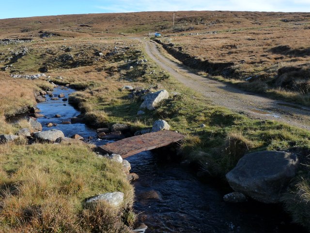
Due to its remote location, reaching Cnoc Mòr requires careful planning and preparation. Adequate navigation skills and appropriate outdoor gear are essential for a safe and enjoyable experience. Whether scaling its slopes or simply admiring its grandeur from afar, Cnoc Mòr is a natural wonder that captivates all who encounter it.
If you have any feedback on the listing, please let us know in the comments section below.
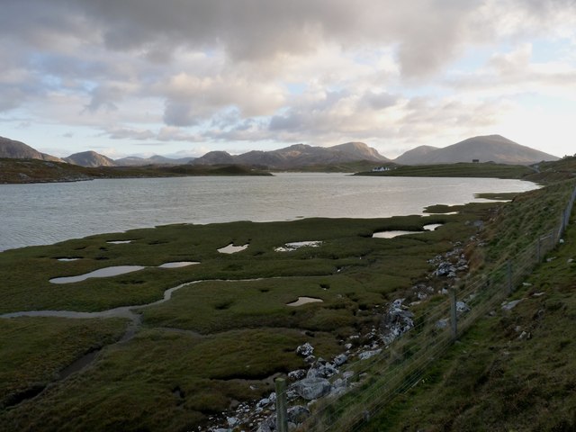
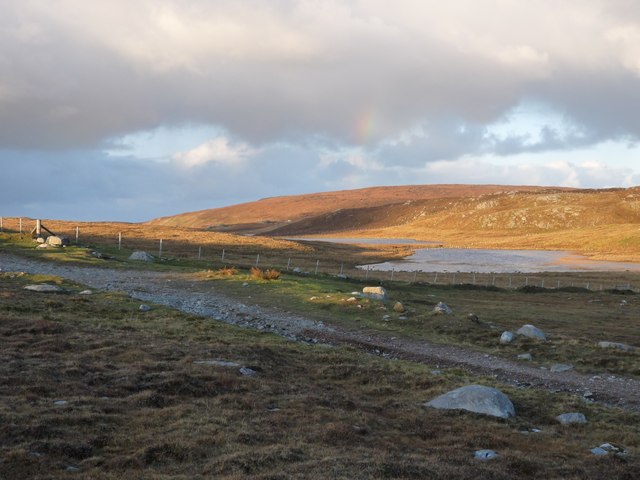
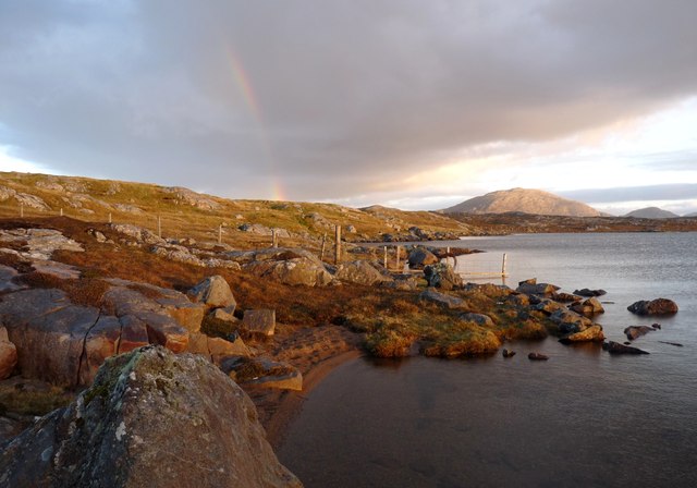
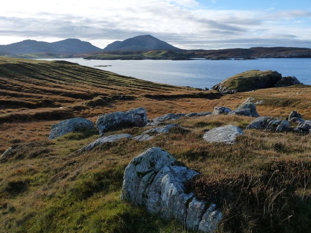
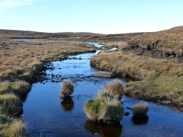
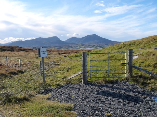
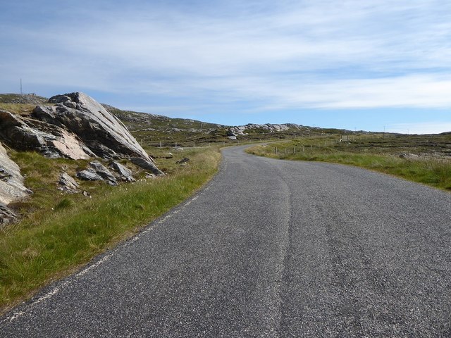
Cnoc Mòr Images
Images are sourced within 2km of 58.210991/-7.0446669 or Grid Reference NB0335. Thanks to Geograph Open Source API. All images are credited.

Cnoc Mòr is located at Grid Ref: NB0335 (Lat: 58.210991, Lng: -7.0446669)
Unitary Authority: Na h-Eileanan an Iar
Police Authority: Highlands and Islands
What 3 Words
///survive.awesome.prefect. Near Carloway, Na h-Eileanan Siar
Nearby Locations
Related Wikis

Camas Uig
Camas Uig (Uig Bay) is a bay on the west coast of the Isle of Lewis, in the Outer Hebrides of Scotland. The Lewis Chessmen were discovered in the dunes...

Timsgarry
Timsgarry (Scottish Gaelic: Tuimisgearraidh) is a village on the Isle of Lewis, in the Outer Hebrides, Scotland. Timsgarry is home to the Baile na Cille...

Aird Uig
Aird Uig (Scottish Gaelic: Àird Ùig) is a village on the Isle of Lewis, in the Outer Hebrides, Scotland. Aird Uig is within the parish of Uig, and is situated...

Ardroil
Ardroil (Scottish Gaelic: Eadar Dhà Fhadhail) is a village on the Isle of Lewis in the Outer Hebrides, Scotland. Ardroil is within the parish of Uig....

Uig, Lewis
Uig (Scottish Gaelic: Ùig [uːkʲ]), also known as Sgìr' Ùig, is a civil parish and community in the west of the Isle of Lewis in the Outer Hebrides, Scotland...

Cliff, Lewis
Cliff (Scottish Gaelic: Cliobh) is a small settlement on the Isle of Lewis, in the Outer Hebrides, Scotland. Cliff is within the parish of Uig. The settlement...

Abhainn Dearg distillery
Abhainn Dearg distillery ( AV-in JAIRG) or Red River distillery is a Scotch whisky distillery in Uig, on the west coast of the Isle of Lewis in the Outer...

Stac Dhòmhnaill Chaim
Stac Dhòmnuill Chaim, or Stac Dhòmhnaill Chaim, or Stac Domhnuill Chaim, is a fortified promontory located near Mangursta (or Mangersta, Scottish Gaelic...
Have you been to Cnoc Mòr?
Leave your review of Cnoc Mòr below (or comments, questions and feedback).