Sranndabhal

Hill, Mountain in Inverness-shire

Scotland

Sranndabhal

Wet view towards Leverburgh Looking north west down Gleann Shranndabhal on a very wet November morning.
Wet view towards Leverburgh Credit: Richard Dorrell

Sranndabhal, also known as Suilven, is a distinctive hill located in Inverness-shire, Scotland. It is situated in the northwest Highlands near Lochinver, approximately 20 kilometers northwest of Ullapool. With a height of 731 meters (2,398 feet), Sranndabhal stands out for its unique shape, featuring two distinct peaks separated by a narrow ridge.

The hill is composed primarily of Torridonian sandstone, a type of rock formed over 1 billion years ago. This geological composition has resulted in Sranndabhal's rugged and craggy appearance, making it a popular destination for hikers and climbers seeking a challenging ascent. The ascent to the summit is steep and demanding, but the stunning panoramic views from the top make it a worthwhile endeavor.

Sranndabhal is surrounded by beautiful, untouched wilderness, with its slopes covered in heather and grasses, and dotted with numerous lochs and lochans. It is also home to a variety of wildlife, including red deer, golden eagles, and ptarmigans. The hill's remote location and untouched landscape contribute to its appeal, attracting nature enthusiasts and outdoor adventurers alike.

In recent years, Sranndabhal has gained additional recognition for its appearance in popular culture. It featured prominently in the 2014 film "The Eagle," adding to its allure and drawing even more visitors to this picturesque location in Inverness-shire.

If you have any feedback on the listing, please let us know in the comments section below.
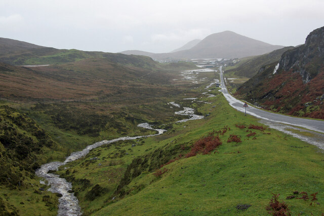
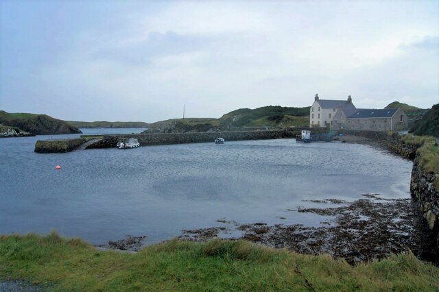
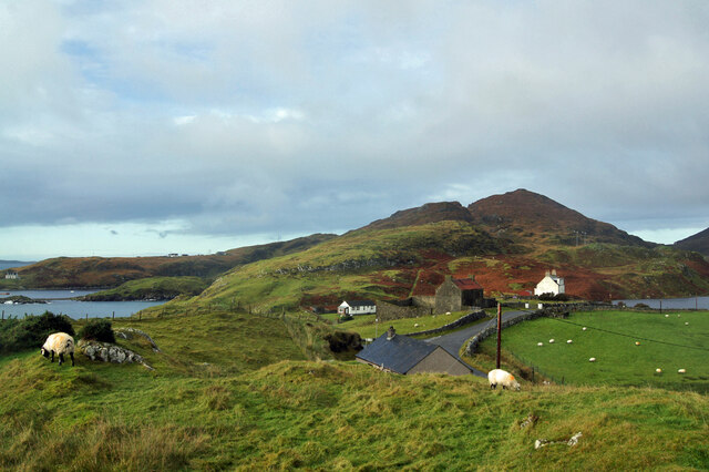
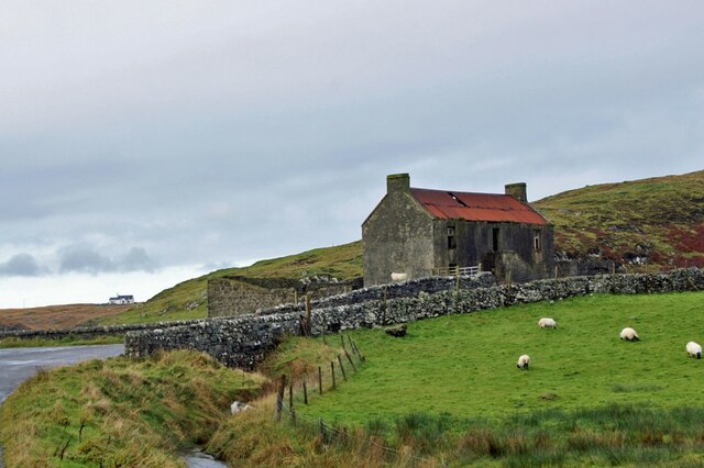
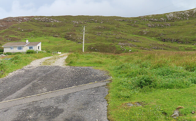
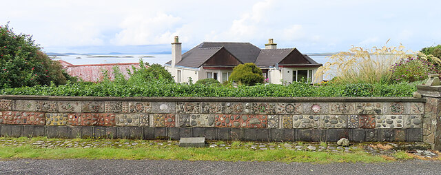
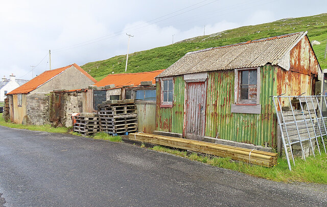
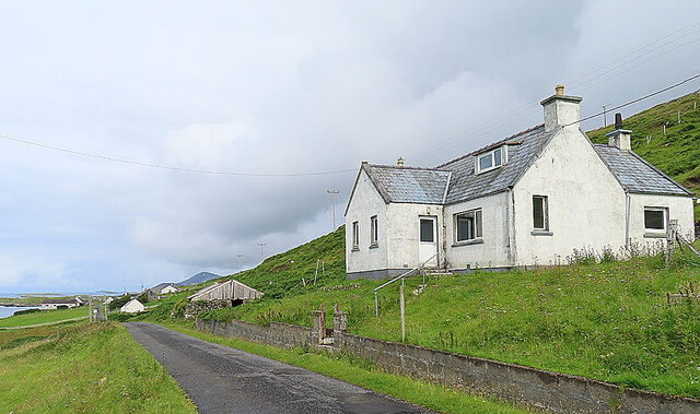
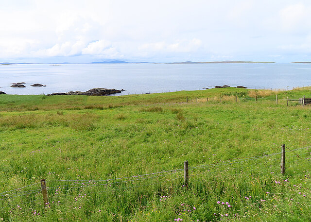
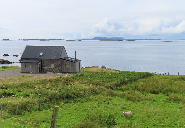
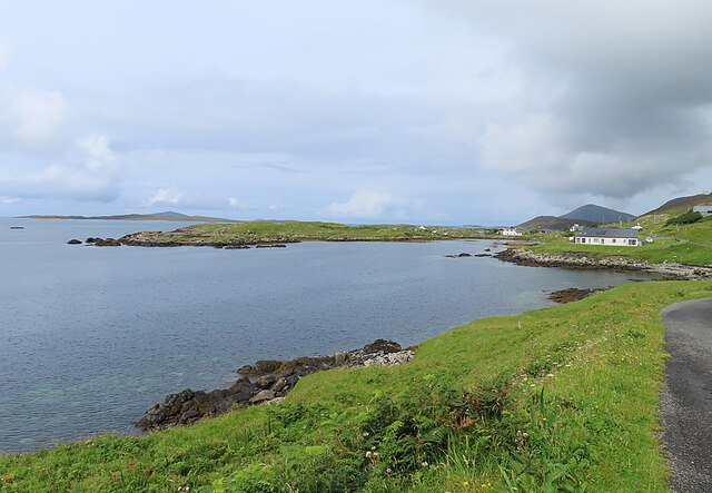
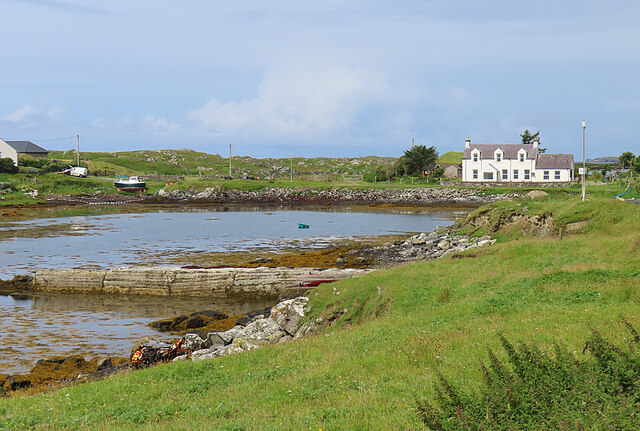
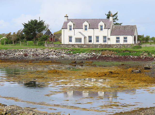
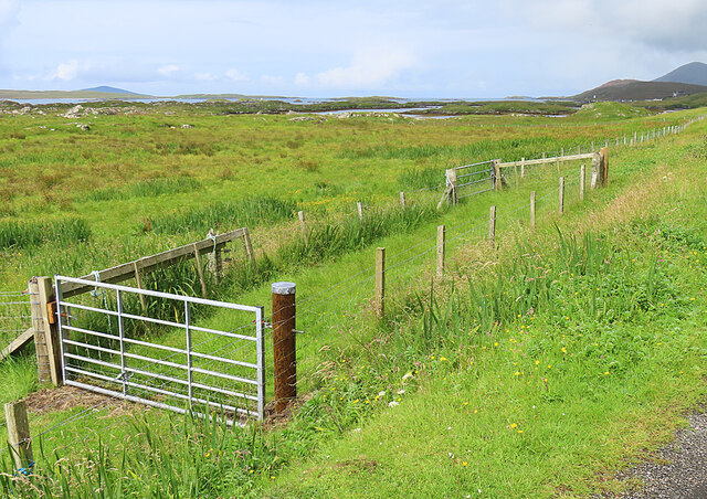
Sranndabhal Images

Images are sourced within 2km of 57.75137/-6.9832799 or Grid Reference NG0384. Thanks to Geograph Open Source API. All images are credited.

Wet view towards Leverburgh Looking north west down Gleann Shranndabhal on a very wet November morning.
Wet view towards Leverburgh
Looking north west down Gleann Shranndabhal on a very wet November morning.
Roghadal harbour The house on the right was built in 1781, and become an hotel at least as early as the 1920s. The building is currently undergoing significant restoration.
Roghadal harbour
The house on the right was built in 1781, and become an hotel at least as early as the 1920s. The building is currently undergoing significant restoration.
Roghadal  Looking north west over the wall of the churchyard.
Roghadal
Looking north west over the wall of the churchyard.
Derelict building, Roghadal The building is Category B listed. There is a staircase on the front to a first floor door, while access to the ground floor is from the rear. Most recently in use for storage or as a byre, the presence of chimneys suggest that at least part of the building may at one time have been residential. 
See also: <a href="https://www.geograph.org.uk/photo/1349347">NG0483 : Derelict House at Roghadal</a>.
Derelict building, Roghadal
The building is Category B listed. There is a staircase on the front to a first floor door, while access to the ground floor is from the rear. Most recently in use for storage or as a byre, the presence of chimneys suggest that at least part of the building may at one time have been residential. See also: NG0483 : Derelict House at Roghadal.
Roghadal St Clement's Church stands prominently above the small settlement. 
View looking north west from the end of the minor road which runs the length of the east coast of Harris.
Roghadal
St Clement's Church stands prominently above the small settlement. View looking north west from the end of the minor road which runs the length of the east coast of Harris.
Looking south towards Rodel, Harris, 1989
Roghadal Harbour
Roghadal Harbour
Signpost at Borghasdal The motorable road ends here, but a track allows pedestrians to carry on to Rogahadal (Rodel).
Signpost at Borghasdal
The motorable road ends here, but a track allows pedestrians to carry on to Rogahadal (Rodel).
Borghasdal A newish house stands alone beside the track to Roghadal.
Borghasdal
A newish house stands alone beside the track to Roghadal.
Garden Wall The dyke around the garden of this house at Borghasdal has been elaborately decorated with shells, pebbles and rock fragments.
Garden Wall
The dyke around the garden of this house at Borghasdal has been elaborately decorated with shells, pebbles and rock fragments.
Corrugated Iron Sheds Colourful if somewhat dilapidated. The closest one was the local Post Office for half a century. See <a href="https://www.geograph.org.uk/photo/5873968">NG0383 : Strond: the old post office</a>.
Corrugated Iron Sheds
Colourful if somewhat dilapidated. The closest one was the local Post Office for half a century. See NG0383 : Strond: the old post office.
House at Borghasdal Looking north-west along the road towards Srannda (Strond).
House at Borghasdal
Looking north-west along the road towards Srannda (Strond).
Srannda (Strond) Looking down over small rough fields to the sea, with a distant glimpse of Berneray and North Uist beyond.
Srannda (Strond)
Looking down over small rough fields to the sea, with a distant glimpse of Berneray and North Uist beyond.
Wooden House at Srannda Wooden houses are unusual in the Hebrides, but this one looks quite in harmony with its surroundings. In the distance is a glimpse of North Uist.
Wooden House at Srannda
Wooden houses are unusual in the Hebrides, but this one looks quite in harmony with its surroundings. In the distance is a glimpse of North Uist.
Cairminis (Carminish) Bagh Cairminis (Carminish Bay) is well sheltered by Eilean nan Bridianach, which is actually a peninsula rather than an island.
Cairminis (Carminish)
Bagh Cairminis (Carminish Bay) is well sheltered by Eilean nan Bridianach, which is actually a peninsula rather than an island.
Bàgh Chàirminis Carminish Bay is a sheltered tidal inlet, but too shallow to offer safe anchorage to more than a very small boat.
Bàgh Chàirminis
Carminish Bay is a sheltered tidal inlet, but too shallow to offer safe anchorage to more than a very small boat.
Reflections The house at the head of Bàgh Chàirminis (Carminish Bay) is reflected in the mirror-like water.
Reflections
The house at the head of Bàgh Chàirminis (Carminish Bay) is reflected in the mirror-like water.
Field Access It may be that the end of the access road here is sometimes used to pen livestock.
Field Access
It may be that the end of the access road here is sometimes used to pen livestock.
Show me another place!

Sranndabhal is located at Grid Ref: NG0384 (Lat: 57.75137, Lng: -6.9832799)

Unitary Authority: Na h-Eileanan an Iar

Police Authority: Highlands and Islands

What 3 Words

///entitles.prongs.eyelashes. Near Leverburgh, Na h-Eileanan Siar

Nearby Locations

Sranndabhal

Related Wikis

Roineabhal

Roineabhal is a hill in Harris, in the Western Isles of Scotland. The granite on the summit plateau of the mountain is anorthosite, and is similar in composition...

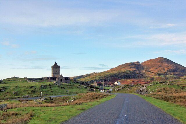
St Clement's Church, Rodel

St Clement's Church (Scottish Gaelic: Tùr Chliamhainn, meaning Clement's Tower) is a late fifteenth-century or early sixteenth-century church in Rodel...
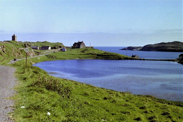
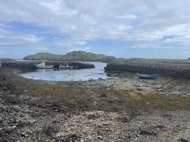
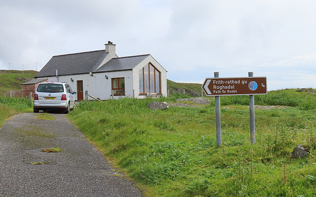
Rodel

Rodel (Scottish Gaelic: Roghadal) is a village on the south-eastern coast of Harris, an island in the Scottish Outer Hebrides. Rodel is situated in the...

Outer Hebrides

The Outer Hebrides ( HEB-rid-eez) or Western Isles (Scottish Gaelic: na h-Eileanan Siar [nə ˈhelanən ˈʃiəɾ] , na h-Eileanan an Iar [nə ˈhelanən əɲ ˈiəɾ...

Nearby Amenities

Located within 500m of 57.75137,-6.9832799
Barrier: cattle_grid
Source: survey
Lat/Long: 57.7535724/-6.9780352
Passing Place
Lat/Long: 57.7519409/-6.9758387
Shranndabhal
Ele: 211
Natural: peak
Lat/Long: 57.7514006/-6.9834422
Material: wood
Power: pole
Lat/Long: 57.7506391/-6.9752525
Generator Method: wind_turbine
Generator Source: wind
Generator Type: horizontal_axis
Power: generator
Lat/Long: 57.7482823/-6.9885221
Generator Method: wind_turbine
Generator Source: wind
Generator Type: horizontal_axis
Power: generator
Lat/Long: 57.7485413/-6.9891283
Passing Place
Lat/Long: 57.7524509/-6.9768829
Passing Place
Lat/Long: 57.7551003/-6.980506
Passing Place
Lat/Long: 57.7529342/-6.9774626
Power: pole
Lat/Long: 57.7531056/-6.977708
Power: pole
Lat/Long: 57.7526672/-6.9772457
Power: pole
Lat/Long: 57.7519462/-6.9768657
Power: pole
Lat/Long: 57.751318/-6.976104
The data included in this document is from www.openstreetmap.org. The data is made available under ODbL.

Have you been to Sranndabhal?

Leave your review of Sranndabhal below (or comments, questions and feedback).