Hengrave

Settlement in Norfolk Broadland

England

Hengrave

Swannington: School Road
Swannington: School Road Credit: Michael Garlick

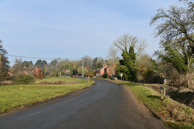
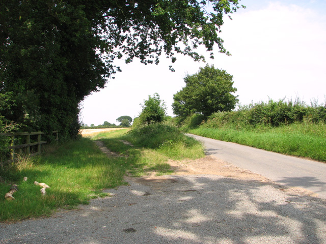
Hengrave is a small village located in the county of Norfolk, England. Situated approximately 8 miles west of the city of Bury St Edmunds, it is nestled in the picturesque countryside of East Anglia. The village is home to a population of around 200 residents.

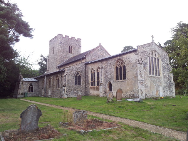
Hengrave is renowned for its historical significance, with the centerpiece being Hengrave Hall. This magnificent Tudor mansion dates back to the 16th century and is considered a significant architectural gem in the region. Surrounded by stunning gardens and parkland, Hengrave Hall is often sought after as a venue for weddings and other special events.

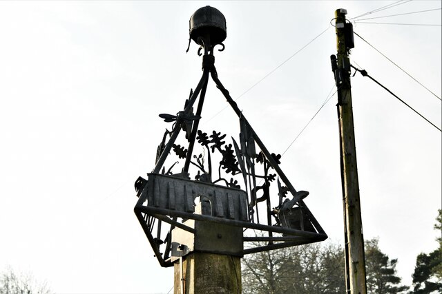
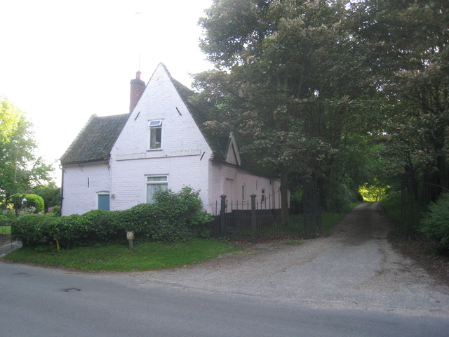
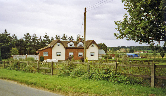
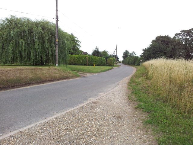
The village itself exudes a charming and tranquil atmosphere, with its quaint cottages and beautiful thatched roofs. There is a sense of community spirit amongst the residents, who often participate in various social events held throughout the year. Hengrave also boasts a traditional village pub, which serves as a focal point for locals and visitors alike.

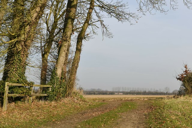
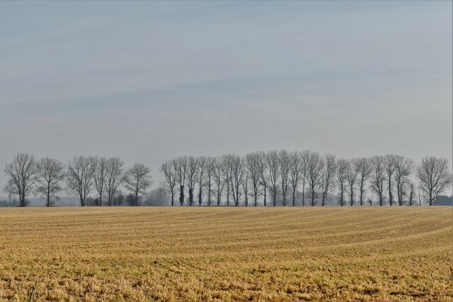
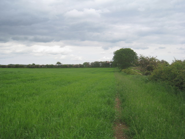
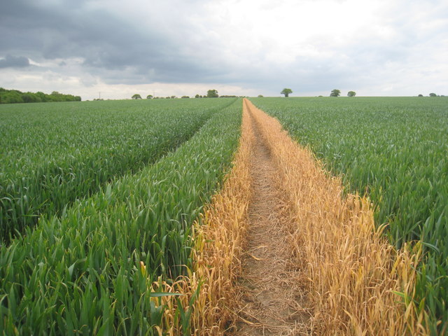
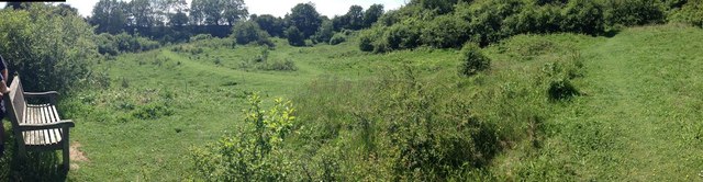
Nature enthusiasts will appreciate the nearby Hengrave Meadow, a designated Site of Special Scientific Interest (SSSI). This nature reserve is home to a variety of wildlife, including rare species of wildflowers and birds. It offers peaceful walking trails and picnic spots, providing an ideal escape into nature.

Overall, Hengrave offers a serene and historically rich experience, with its Tudor architecture, natural beauty, and vibrant community. It is a hidden gem for those seeking a tranquil retreat in the heart of Norfolk.

If you have any feedback on the listing, please let us know in the comments section below.

Hengrave Images

Images are sourced within 2km of 52.73098/1.155771 or Grid Reference TG1319. Thanks to Geograph Open Source API. All images are credited.

Swannington: School Road
Swannington: Village sign
Swannington: Farm track
Swannington: Farmland
Cottages by the entrance to Manor Farm. Swannington Now just one cottage.
Cottages by the entrance to Manor Farm. Swannington
Now just one cottage.
Footpath to Haveringland Follows the edge of the field.
Footpath to Haveringland
Follows the edge of the field.
Nissen hut at the Woodlands Still in use for storage though getting rather dilapidated.
Nissen hut at the Woodlands
Still in use for storage though getting rather dilapidated.
Footpath to Swannington Someone has been sloshing the weedkiller around.
Footpath to Swannington
Someone has been sloshing the weedkiller around.
Site -?remains - of Attlebridge station, 1993 View SW on A1067 road. The station had been on the ex-M&GN Joint line, Melton Constable (to right) - Norwich (City) line, which closed for passengers with the rest of the system from 2/3/59, but the section to Norwich City was retained for goods by means of a connection off the ex-GER Wroxham - County School line by the Themelthorpe Loop from 12/9/60 and lasted until 13/7/64. It is not obvious whether the houses had been connected with the railway.
Site -?remains - of Attlebridge station, 1993
View SW on A1067 road. The station had been on the ex-M&GN Joint line, Melton Constable (to right) - Norwich (City) line, which closed for passengers with the rest of the system from 2/3/59, but the section to Norwich City was retained for goods by means of a connection off the ex-GER Wroxham - County School line by the Themelthorpe Loop from 12/9/60 and lasted until 13/7/64. It is not obvious whether the houses had been connected with the railway.
Looking up School Road from Upgate Common
St. Margaret's church and graveyard, Swannington
War memorial inside St. Margaret's church, Swannington
Amazing hedge -  Swannington Manor This was a wonderful hedge at the back of this lovely house near Hengrave
Amazing hedge - Swannington Manor
This was a wonderful hedge at the back of this lovely house near Hengrave
Bridge over stream near Swannington Manor Looking back towards Swannington Manor
Bridge over stream near Swannington Manor
Looking back towards Swannington Manor
Alderford Common panorama Old gravel pits
Alderford Common panorama
Old gravel pits
This way to Brandiston
Farm shed by Hengrave
Show me another place!

Hengrave is located at Grid Ref: TG1319 (Lat: 52.73098, Lng: 1.155771)

Administrative County: Norfolk

District: Broadland

Police Authority: Norfolk

What 3 Words

///hazy.beaks.insiders. Near Cawston, Norfolk

Related Wikis

Swannington, Norfolk

Swannington is a village and civil parish in the English county of Norfolk, United Kingdom. The villages name means 'Farm/settlement connected with Swan...

Alderford

Alderford is a village and civil parish in the English county of Norfolk, about ten miles (16 km) north-west of Norwich. The name 'Alderford' derives from...

Broadland (UK Parliament constituency)

Broadland is a Norfolk constituency, which has been represented in the House of Commons of the UK Parliament since the 2019 general election by Jerome...

Alderford Common

Alderford Common is a 17.5-hectare (43-acre) biological Site of Special Scientific Interest north-west of Norwich in Norfolk. The common has a thin layer...

Nearby Amenities

Located within 500m of 52.73098,1.155771
Give Way
Lat/Long: 52.7297121/1.1585514
Note: boundary may go through middle of bridge instead?
Lat/Long: 52.7284481/1.1525998
Power: pole
Lat/Long: 52.7343607/1.1534066
Power: pole
Lat/Long: 52.7326399/1.1538934
Power: pole
Lat/Long: 52.7334488/1.1537029
Power: pole
Lat/Long: 52.7319399/1.1541213
Power: pole
Lat/Long: 52.731038/1.1543875
Power: pole
Lat/Long: 52.73039/1.1573916
Power: pole
Lat/Long: 52.7300554/1.1589097
Power: pole
Lat/Long: 52.7300083/1.1604037
Power: pole
Lat/Long: 52.7299449/1.1619942
Post Box
Operator: Royal Mail
Post Box Type: wall
Lat/Long: 52.7289465/1.1586993
Entrance: yes
Lat/Long: 52.7291273/1.1589668
Entrance: yes
Lat/Long: 52.7290094/1.1593124
Entrance: main
Lat/Long: 52.7289512/1.1589852
Give Way
Lat/Long: 52.7298716/1.1587769
Barrier: kissing_gate
Note: Sign from landowner says "Walk at your own risk"
Lat/Long: 52.7283226/1.1544282
The data included in this document is from www.openstreetmap.org. The data is made available under ODbL.

Have you been to Hengrave?

Leave your review of Hengrave below (or comments, questions and feedback).